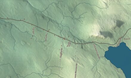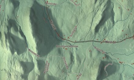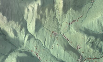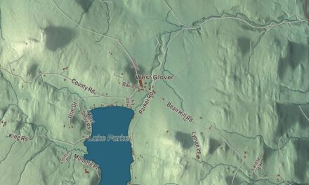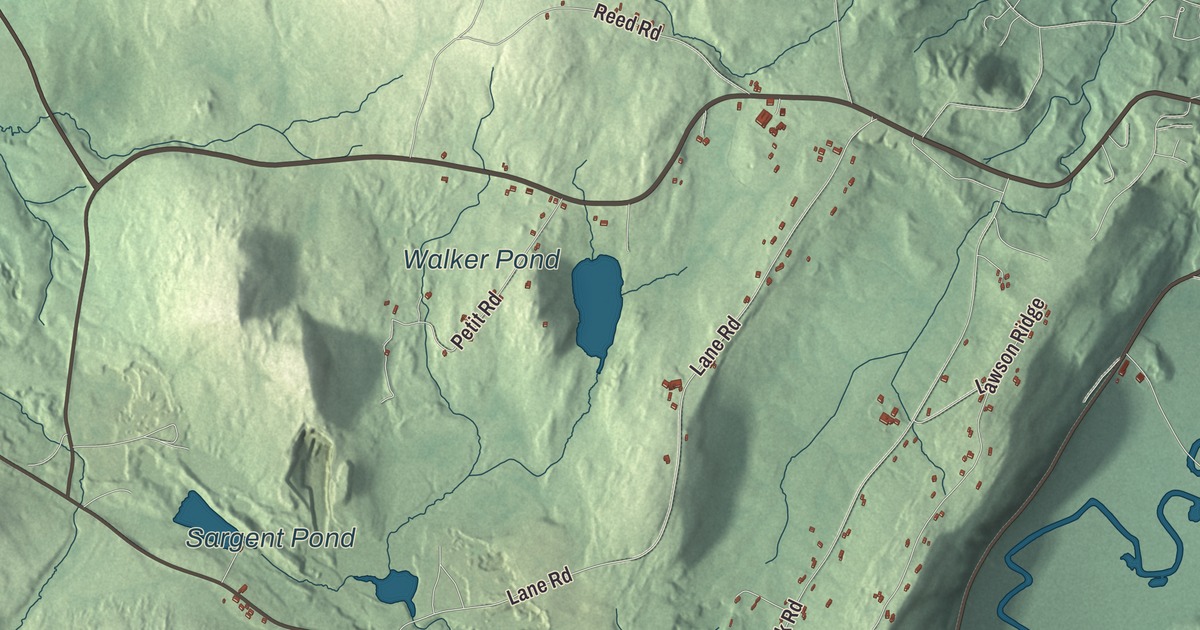
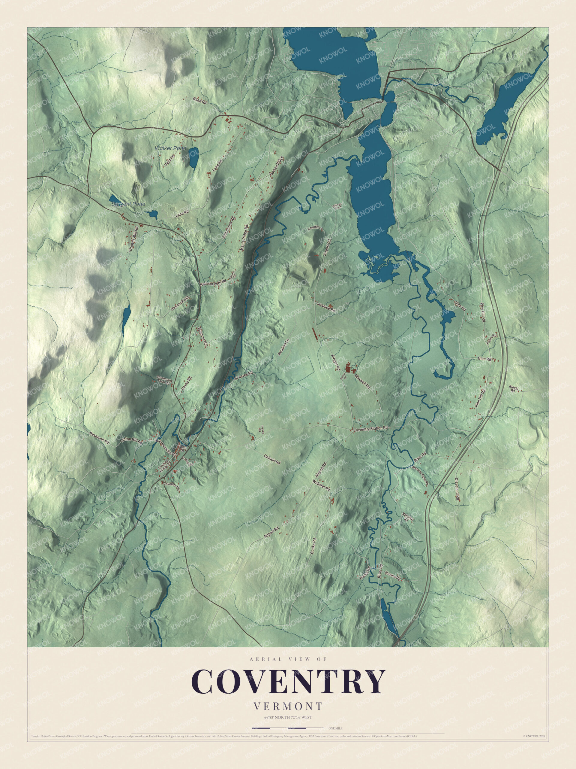
In Coventry the village grew up beside the falls of the Black River, and the river goes on through the marshes of South Bay toward Lake Memphremagog. This map prints Walker Pond and Sargent Pond and the roads people use every day: Pine Hill Road, Airport Road, Coventry Station Road, River Road, Lane Road and Alderbrook Road.
Coventry is a town in Orleans County, Vermont.
KNOWOL made this map in 2026 from public survey data and gave it the look of an old county atlas. Its relief comes from United States Geological Survey elevation data, and its roads and town line come from the Census Bureau. Coventry covers 27.7 square miles, the smallest area of any town in Orleans County, and it had 1,100 people at the 2020 census. Click here to purchase a print of this map for your wall.
Major Buel’s town
Vermont granted Coventry on November 4, 1780, to Major Elias Buel and 59 others, and Buel named it for his birthplace, Coventry, Connecticut. For years Orleans County had no settlers and no roads, and the land was bought and sold only on speculation. Buel bought out his partners’ rights one at a time, and by 1788 he held 54 of the 60. To make up a full township, the grant also took in Coventry Gore, south of Newport, and Buel’s Gore, far away in Chittenden County, which still carries his name. The town was renamed Orleans in 1841, and two years later it went back to Coventry.
Real settlement came later. In September 1799 Samuel Cobb and his son Tisdale looked over the land, built a log house and went home for their families, and the first settlement was made in March 1800. A saw-mill went up on the Upper Falls of the Black River in 1803. The settlers later chose to found a village beside the falls for their water power, and Calvin and Daniel Harmon gave land for a village common on the condition that the townspeople clear it of stumps and smooth it out. The first village schoolhouse was built in 1823 with donated money and labor. In 1861 Coventry men helped fill Company B of the 3rd Vermont Infantry.
Click to explore a larger preview. The digital watermark does not appear on printed maps.
Names on this map
These names are printed on this map.
Places: Walker Pond and Sargent Pond.
Streets and roads: Pine Hill Road, Lane Road, Airport Road, Coventry Station Road, River Road, Hancock Hill, Alderbrook Road, Webster Road, Glen Road, Aviation Lane, Reservoir Road, Maple Ridge Road.
More street names, A to Z
Barlow Road, Billings Point, Cleveland Road, Community Farm Road, Cooks Road, Cotnoir Road, Coventry Heights, Covered Bridge Road, Covey Road, Drowns Mill Road, Gallup Road, Hamel Road, Heermanville Road, Hi Acres Road, Howse Road, Landfill Lane, Laramee Road, Lawson Ridge, Linton Hill Road, Main Street, Maxwell Road, Messier Farm Road, Nadeau Park Road, Natural Hill, Nebelski Road, Pelkey Road, Petit Road, Piette Road, Reed Road, Riegel Road, Spencer Hill.
See it on a wall
The Coventry map as a framed print. Swipe for more.


The Black River and South Bay
The Black River runs east-northeast through the middle of Coventry until it reaches the South Bay of Lake Memphremagog in Newport, and the Barton River flows through town to the east of it. For about its last 4.7 miles the Black River runs through the South Bay Wildlife Management Area, a big wetland of floodplain forest and red maple and white cedar swamp that lies mostly in Coventry.
The airport and the big weekend
The Northeast Kingdom International Airport, called Newport State Airport until 2015, is in Coventry, three miles southwest of Newport, with two paved runways. On August 14 and 15, 2004, it hosted what was billed as Phish’s final concert, and it was the largest gathering in the town’s history. With about 65,000 people on hand, Coventry briefly had more people than any other place in Vermont, Burlington included. Rain turned the parking fields to mud, fans walked in from cars left along Interstate 91, and on Sunday tractors pulled cars out. Years earlier, in 1977, the television show Hee Haw had saluted Coventry for its population of 300.
Coventry’s native sons include the architect Lambert Packard, born here in 1832, who went on to design most of the major buildings of St. Johnsbury for the Fairbanks family. On the map, find River Road and Coventry Station Road, then Pine Hill Road, Lane Road and Alderbrook Road, with Airport Road printed too. Walker Pond and Sargent Pond are both labeled on the map.
Use this map of Coventry to teach children the geography and history of their own town, or hang it in an office, library or den. It’s made for everyone who calls Coventry home and shows the town as it looks today, from the falls to South Bay. KNOWOL created it in 2026, and it’s printed on museum quality archival paper. Zoom in on the preview above to explore the details, then click here to get your copy of the Coventry, Vermont map.

Sources