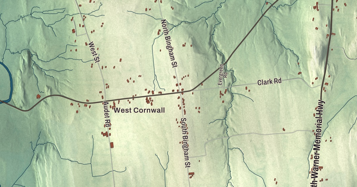
Cornwall sits in the Champlain Valley, with Middlebury to the northeast and Otter Creek along the Salisbury line. This map prints West Cornwall and the roads that cross the town: the Seth Warner Memorial Highway, Mountain Road, Lemon Fair Road, Bourdeau Road, South Bingham Street and Douglas Road.
Cornwall is a town in Addison County, Vermont.
KNOWOL made this map in 2026 from public survey data and gave it the look of an old county atlas. The relief is shaded from United States Geological Survey elevation data, and the roads and the town line come from the Census Bureau. Cornwall covers 28.6 square miles, almost all of it land, and it had 1,207 people at the 2020 census. Click here to purchase a print of this map for your wall.
A valley town since 1761
Cornwall dates to 1761. New Hampshire granted it on November 3 of that year, and the town organized in 1784. It lies in the south-central part of Addison County, bordered by Middlebury, the county seat, to the northeast, Salisbury to the southeast, Whiting to the south, Shoreham to the southwest, Bridport to the west and Weybridge to the north. Otter Creek forms the line with Salisbury.
Three state highways cross the town. Vermont Route 30 runs north and south through town, and it’s also known as the Seth Warner Memorial Highway, after the Green Mountain Boys captain who fought at Hubbardton and Bennington. Vermont Route 125 crosses the northern part of town, and Vermont Route 74 heads southwest from the center toward the ferry across Lake Champlain at Larrabees Point.
Cornwall is home to a monument to its soldiers who died in several wars. Its most recent inscription is of a soldier killed on the Verdun front on November 10, 1918, a single day before the armistice.
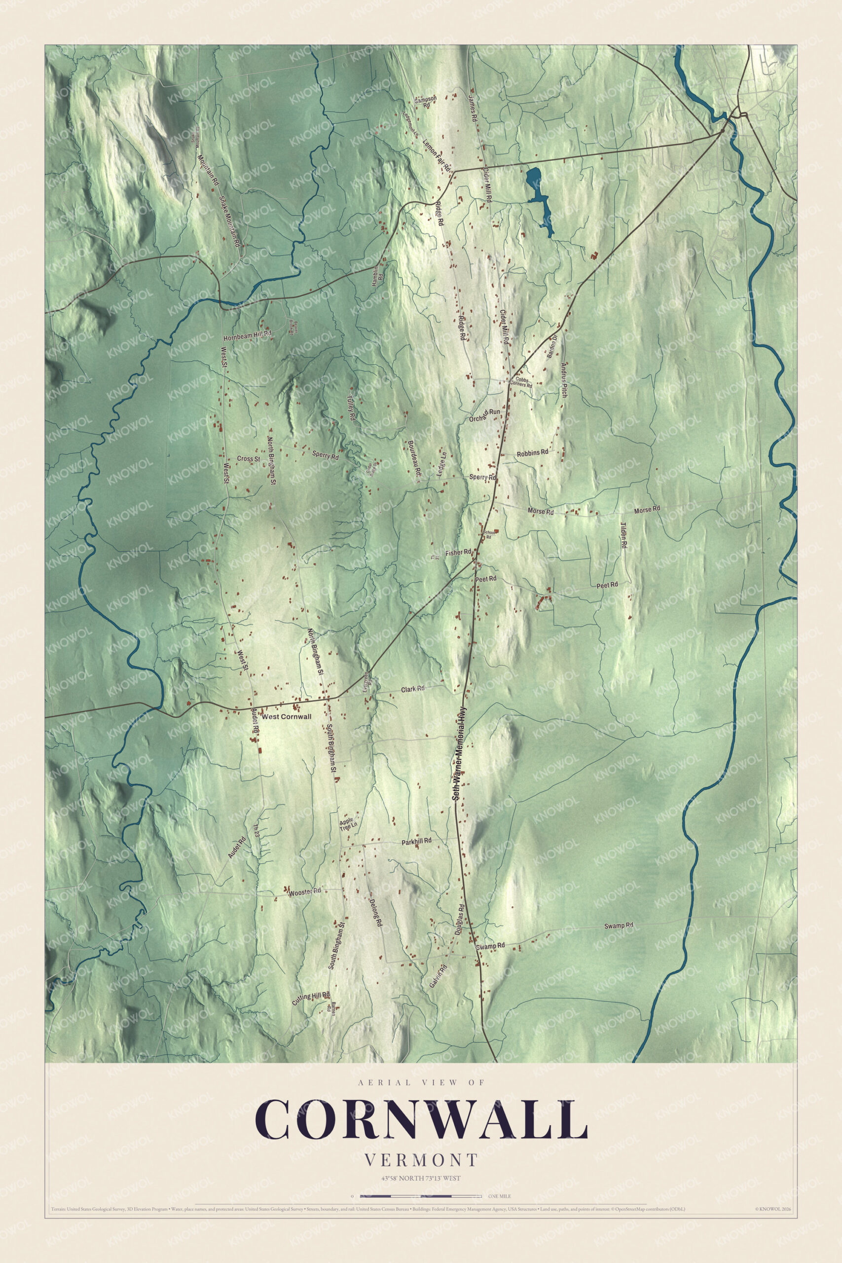
Click to explore a larger preview. The digital watermark does not appear on printed maps.
Names on this map
These names are printed on this map.
Places: West Cornwall.
Streets and roads: Seth Warner Memorial Highway, Mountain Road, Lemon Fair Road, Bourdeau Road, South Bingham Street, Douglas Road, Cider Mill Road, Tilden Road, West Street, North Bingham Street, Sperry Road, Ridge Road.
More street names, A to Z
Andrus Pitch, Apple Tree Lane, Audet Road, Bardon Drive, Barnes Road, Beaver Brook Road, Cedar Ridge Drive, Clark Road, Cobbs Corners Road, Cross Street, Cutting Hill Road, Delong Road, Evergreen Road, Fisher Road, Galvin Road, Hamblin Road, Hornbeam Hill Road, James Road, Ledge Lane, Ledgemont Lane, Morse Road, Orchard Run, Parkhill Road, Peet Road, Robbins Road, Sampson Road, School Road, Snake Mountain Road, Swamp Road, Th 23, Th 31, Tulley Road, Wooster Road.
See it on a wall
The Cornwall map as a framed print. Swipe for more.


Cornwall people
Solomon Foot was born here in 1802 and started working on local farms at nine to help support his family after his father died. He grew up to be a United States senator and served as president pro tempore of the Senate from 1861 to 1864, through most of the Civil War, as a strong voice for the Union.
Sheldon Peck, born in Cornwall in 1797, became a folk portrait painter whose work is now counted a prime example of 19th-century American folk art. He was also a conductor on the Underground Railroad and spoke up for abolition, racial equality, public education and women’s rights. Joel H. Linsley, born in Cornwall in 1790, became the first president of Marietta College in Ohio. Enoch Cobb Wines served as pastor in Cornwall before he turned to prison reform, and he organized the first international congress on prison discipline, held in London. Cornwall’s own public school today is the Bingham Memorial School, for kindergarten through fifth grade.
Reading the roads
The Seth Warner Memorial Highway is the road to start with on the map. From it you can find Mountain Road, Bourdeau Road, Douglas Road, South Bingham Street and Lemon Fair Road, and West Cornwall is printed too. Lemon Fair Road shares its name with the Lemon Fair River, a stream of the farm country that flows north to Otter Creek. Its curious name is thought to come from Les monts verts, French for the Green Mountains.
Hang this map of Cornwall in an office, library or den, or use it to teach children the geography and history of a Champlain Valley town. It’s made for everyone who calls Cornwall home and shows the town as it looks today, from West Cornwall to Otter Creek. KNOWOL created it in 2026, and it’s printed on museum quality archival paper. Zoom in on the preview above to explore the details, then click here to get your copy of the Cornwall, Vermont map.

Sources