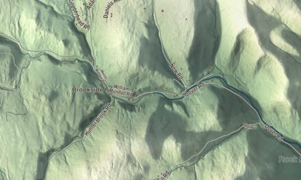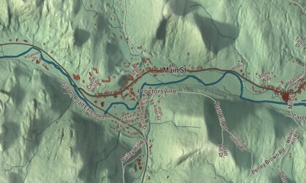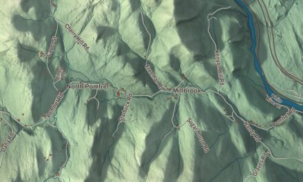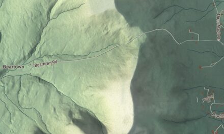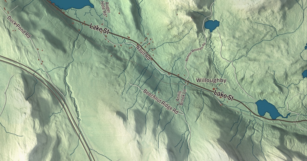
In Barton, Route 5 runs along the western shore of Crystal Lake, and nearly every August the Barton Fairgrounds host the Orleans County Fair. This map prints Crystal Lake, May Pond and Baker Pond, Willoughby, and Main Street, Eastern Avenue, Glover Road, Willoughby Avenue, Willoughby Lake Road and Barton Orleans Road.
Barton is in Orleans County, and it holds two incorporated villages, Barton and Orleans.
KNOWOL made this map in 2026 from public survey data and gave it the look of an old atlas. The shaded terrain comes from United States Geological Survey elevation data; the highest peak is Barton Mountain, 2,235 feet, and May Hill reaches 2,007. The roads and the town line come from the Census Bureau. Barton covers 44.9 square miles and had 2,872 people at the 2020 census, about a quarter of them in each village and half outside them. Its page says only four other towns in Vermont contain two incorporated villages. Click here to purchase a print of this map for your wall.
Abenaki country and a veterans’ town
The Abenaki and their ancestors have lived in this region for 12,000 years, and the Nulhegan Abenaki Tribe, one of four Abenaki tribes Vermont officially recognized in 2011 and 2012, has its headquarters in Barton. Early settlers found the remains of many wigwams near the outlet of Barton pond and realized it had been a favorite Abenaki camping ground. After the Revolution, Barton was chartered on October 20, 1789, and granted in place of pay to 60 veterans of the war, most of them from Rhode Island. Among them were John Paul Jones, Ira Allen and General William Barton, for whom the town is named; before the charter the place had been called Providence. From 1791 to 1793 Timothy Hinman built the road now called the Hinman Settler Road, linking Barton south to Greensboro and north through Brownington and Derby to Canada.
Barton voted in 1824 to pay for schooling for all its children, and a private academy that opened in 1852 with 107 students grew into Barton Academy. Before the Civil War, Fred Kimball of Barton was an agent on the Underground Railroad, helping people escaping slavery reach freedom in Vermont or cross into Canada. The railroad reached town in 1858, and the first train arrived in 1863. Granite was a mainstay too: the town had seven quarries, and around 1900 steamboats barged stone across Crystal Lake from a quarry on its east side, sliding the barges over the ice in winter.
Two villages
Barton village, near the center of town, was known as Barton Mills before it was incorporated in 1874, and in the 19th century it was the county’s economic center, with tourists from Boston and New York arriving by train to stay in its hotels. In 1889 the village built a waterworks using May Pond. Orleans, in the northwest corner of town, began as Barton Landing, where the Willoughby and Barton rivers meet; it was the first place boats could be loaded safely for the trip down the Barton River to Lake Memphremagog, and Native Americans used the landing long before settlers came. With 788 people at the 2020 census, it’s the largest village in the county. In 1967 the high schools in both villages, Barton Academy and Orleans High School, became elementary schools when Lake Region Union High School was built.
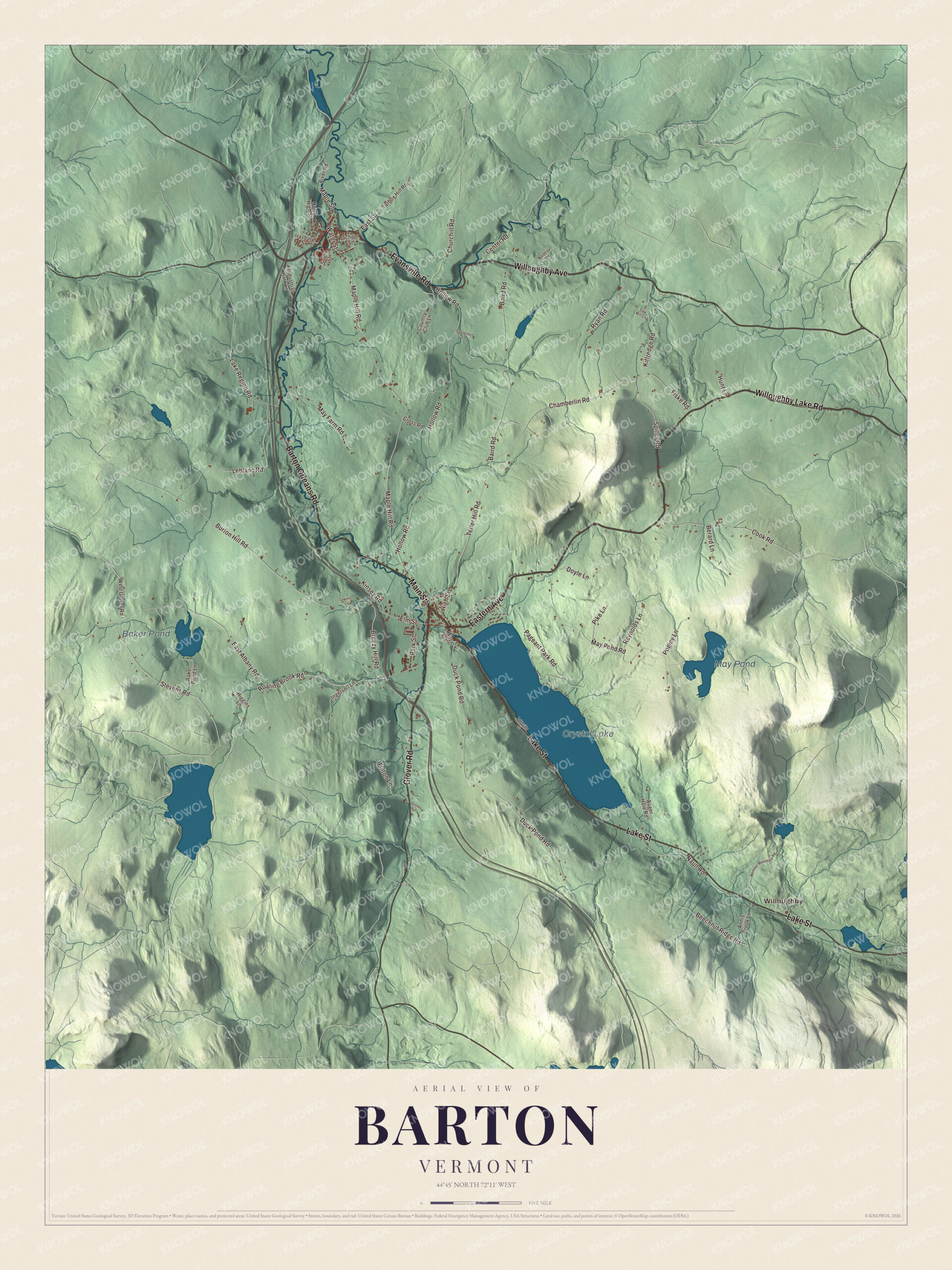
Click to explore a larger preview. The digital watermark does not appear on printed maps.
Names on this map
These names are printed on this map.
Places: Willoughby, Crystal Lake, May Pond and Baker Pond.
Streets and roads: Willoughby Lake Road, Barton Orleans Road, Main Street, Eastern Avenue, Glover Road, Willoughby Avenue, Evansville Road, Lake Street, Kittredge Road, Elm Street, East Street, Maple Street.
More street names, A to Z
Annis Brook Lane, Auger Hole Road, Baird Road, Baker Pond Lane, Beechnut Ridge Road, Berard Lane, Breezy Hill Road, Burton Hill Road, Center Road, Chamberlin Road, Churchill Road, Cook Road, Country Club Lane, Cross Road, Doyle Lane, Duck Pond Road, East Albany Road, Evergreen Lane, Fiske Road, Fulton Lane, Higgins Lane, High Street, Hollow Road, Hunt Lane, Industrial Park Lane, Ingersoll Lane, Irasburg Street, Kinsey Road, Lake Region Road, Lakeside Lane, Leblanc Road, Maple Hill Road, May Farm Road, May Pond Road, Nadeau Lane, Nault Road, North High Street, Owens Lane, Pageant Park Road, Park Street, Pike Lane, Poginy Lane, Reynolds Lane, River Road, Roaring Brook Road, Ryan Road, Saw Mill Lane, School Street, South Street, Spiller Road, Stevens Road, Stoney Lane, Tarbox Hill Road, Telfer Hill Road, Water Street, West Glover Road, West Street, Wheeler Mountain Road.
See it on a wall
The Barton map as a framed print. Swipe for more.


Crystal Lake and the fair
Crystal Lake is a glacial lake about 3 miles long and a mile wide, 100 feet deep in places, owned by the state, with native lake trout and a dam finished in 1860. In the 19th century it was sometimes called Belle Pond. Two parks share its north end: Crystal Lake State Park at the northwest, begun by the Civilian Conservation Corps during the Depression and finished in the 1940s, and Pageant Park at the northeast. Pageant Park takes its name from 1921, when Barton celebrated its 125th anniversary with a pageant of 300 townspeople before 4,500 paying spectators. The state park and the Crystal Lake Falls Historic District are both on the National Register of Historic Places.
The Orleans County Fair has been held in Barton nearly every August since 1867, at the Barton Fairgrounds since 1868. Theodore Roosevelt campaigned for president there in 1912, and in 2011 the opening-day parade set a Guinness World Record with 301 Cadillacs. The town’s page notes that Cadillac’s developer was born in Barton: Henry M. Leland, who founded both Cadillac and Lincoln. His own page says sources differ on whether he was born in Danville or Barton, and that he grew up in Barton. Two Vermont governors, Josiah Grout and Lee E. Emerson, and the biathlete Susan Dunklee are on the town’s list of notable people. May Pond, Baker Pond, Willoughby, Glover Road, Eastern Avenue, Willoughby Avenue, Willoughby Lake Road and Barton Orleans Road are printed on the map too.
This Barton map makes a handsome addition to an office, library or den, and it can even help teach children the geography and history of a lake town with two villages. It’s made for anyone who calls Barton home, from Crystal Lake to Orleans. KNOWOL created it in 2026, and it’s printed on museum quality archival paper. Zoom in on the preview above to explore the details, then click here to get your copy of the Barton, Vermont map.

Sources