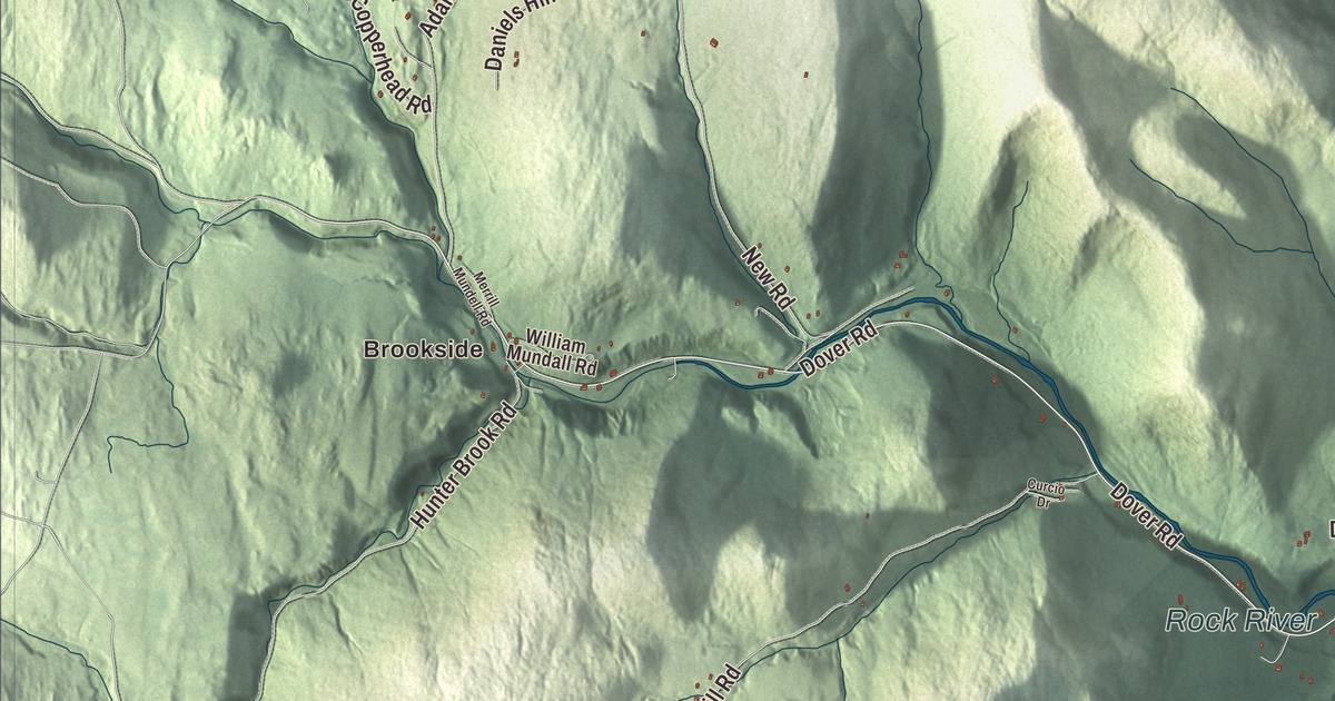
Newfane’s courthouse village sits on the flats along Route 30, and the West River and the Rock River both run through the town. This map prints Dover Road, Grimes Hill Road, Beetlestone Hill Road, West Street, Depot Road and South Wardsboro Road, with Brookside and Williamsville.
Newfane is a town in Windham County, Vermont.
KNOWOL made this map in 2026 from public survey data and gave it the look of an old county atlas, shading the hills from United States Geological Survey elevation data and drawing the roads and town line from the Census Bureau. The town covers 40.4 square miles, and 1,645 people lived here at the 2020 census. Click here to purchase a print of this map for your wall.
Fane, then New Fane
Benning Wentworth, the royal governor of New Hampshire, chartered the town on June 19, 1753, and named it Fane for John Fane, the 7th Earl of Westmoreland. The French and Indian War kept settlers away, and because no town meeting was held within the five years the charter allowed, the grant was declared void. Wentworth issued a new charter on November 3, 1761, under the name New Fane, and New York confirmed it on May 11, 1772. Families from Worcester County, Massachusetts, began settling the town in 1766, and Newfane organized on May 17, 1774. Luke Knowlton, born in Shrewsbury, Massachusetts, moved his family here in 1772, when the settlement held fewer than 20 families, and he was chosen Newfane’s first town clerk when the town organized. He went on to sit on the Governor’s Council and, in 1786, on the Vermont Supreme Court, and he’s buried in the Newfane Hill Cemetery.
From the hill to the flats
Newfane became the shire town of Windham County before 1812, and the village it built, county buildings and all, stood on top of Newfane Hill. Winter travel up the hill was hard, so in 1825 the village was moved to the flatland below, where until 1882 it was called Fayetteville, after the Marquis de Lafayette. Most of that village was listed on the National Register of Historic Places in 1983 as the Newfane Village Historic District: more than 60 buildings around the village green, mostly Greek Revival, among them the Windham County Courthouse of 1825. The Historical Society of Windham County has its headquarters in town. Main Street, which is Route 30, runs through the village beside Smith Creek, a branch of the West River, and West Street turns north off it at the common. The incorporated village had 87 residents at the 2020 census.
Mills on the intervales
The town is a place of high hills and deep valleys. Farmers planted the intervales and grazed their stock on the uplands, and the streams turned the mills: by 1859 Newfane had makers of leather and of linseed oil, two flour mills, two lumber mills and a large carriage factory. The town did well in the 1800s, and the Federal, Greek Revival and Victorian buildings it put up then are what bring visitors today. The West River, about 53.8 miles long, picks up the Rock River in Newfane on its way to the Connecticut River at Brattleboro, and the town’s page says the West River here yielded the largest gold nugget ever found in New England, at 6.5 ounces.
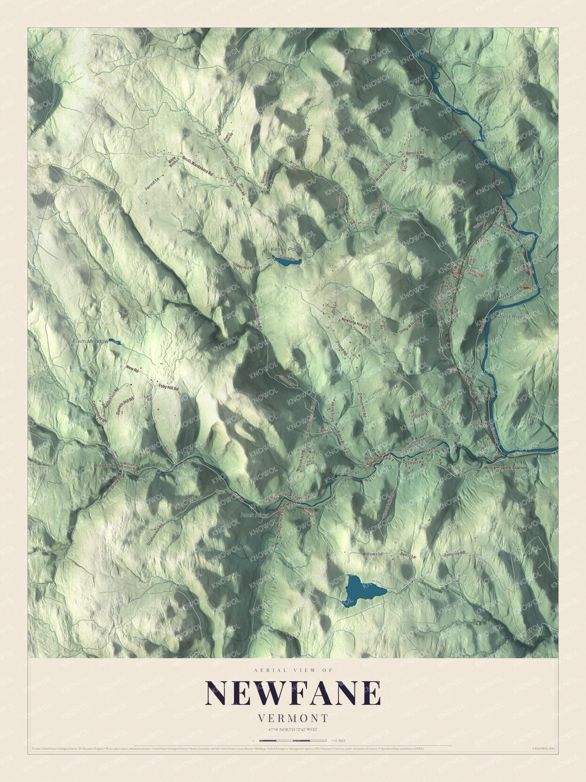
Click to explore a larger preview. The digital watermark does not appear on printed maps.
Names on this map
These names are printed on this map.
Places: Brookside, Williamsville, Kenny Pond, Elwin Meadow, Rock River, West River and Williamsville Station.
Streets and roads: Dover Road, Grimes Hill Road, Beetlestone Hill Road, West Street, Depot Road, South Wardsboro Road, Cushing Flats Road, Betterley Road, Newfane Hill Road, Baker Brook Road, River Road, Adams Hill Road.
More street names, A to Z
Augur Hole Road, Autumn Lane, Back Street, Bensch Road, Brook Street, Browns Road, Cemetery Hill Road, Chapin Road, Clark Farm Road, Copperhead Road, Curcio Drive, Daniels Hill Road, Deer Hill Road, Dewitt Road, Duke Road, Eddy Road, Flynn Road, Forrest Lane, French Cabin Road, Glebe Road, Grout Road, Hemlock Hill Road, Hobby Hill Road, Hunter Brook Road, Jones Hill Road, Joseph Lane, Lane Drive, Legion Road, Loop Road, Majors Lane, Merrill Mundell Road, Miller Lane, New Road, Nichols Road, Oak Hill Road, Old Stage Road, Otis Lane, Parish Hill Road, Penny Lane, Pound Road, Radway Hill Road, Railroad Lane, Sandes Road, Sawmill Road, Sears Road, Sikes Road, Sir Issac Newton Road, Spring Hill Road, Steep Way Road, Stratton Hill Road, Sugar Road, Sunset Lake Road, Timson Hill Road, Toby Hill Road, Upper Eager Road, Upper River Road, Vic Benjamin Road, Wheeler Hill Road, White Birch Lane, William Mundall Road, Williams Road, Wiswall Hill Road, Wiswell Hill Road.
See it on a wall
The Newfane map as a framed print. Swipe for more.


Williamsville and the Rock River
Williamsville grew up mostly along the Rock River, in the West River Valley, and it borders the Newfane Town Forest. Its landmarks include the home of William Hastings Williams, a former general store, a former schoolhouse, a former church, and a mill pond by the old grist mill. About 0.4 miles west of the village, Dover Road crosses the Rock River through the Williamsville Covered Bridge, a Town lattice bridge 118 feet long, probably built in the 1870s by an unknown builder. Its page calls it probably the oldest covered bridge in Windham County, and it’s the last historic covered bridge left in Newfane; it was listed on the National Register in 1973. On the same river in South Newfane, the South Newfane Bridge carries Parish Hill Road across to Dover Road. It’s a steel Pratt truss, 149 feet long, built in 1939 with local, state and federal money, Works Progress Administration funds among them, after flooding washed away the bridge before it.
Newfane people
Henriette Mantel was born and raised in Newfane. She played Alice the maid in The Brady Bunch films, won an Emmy for writing on Win Ben Stein’s Money, and co-wrote and co-directed An Unreasonable Man, a 2006 documentary about Ralph Nader. The mystery writer Archer Mayor lives in Newfane. His Joe Gunther series began with Open Season in 1988 and reached its 33rd book, Fall Guy, in 2022, and he received the Governor’s Award for Excellence in the Arts in 2012.
On the map, start at Brookside and Williamsville, then follow Dover Road, Grimes Hill Road, Beetlestone Hill Road, West Street, Depot Road and South Wardsboro Road, and look out toward Williamsville Station. Kenny Pond, the Rock River and the West River are printed. Newfane dates to 1753.
This map of Newfane is made for everyone who calls Newfane home, and it shows the town as it looks today, from the courthouse village to Williamsville on the Rock River. Hang it in an office, library or den, or use it to teach children the geography and history of their town. It’s printed on museum quality archival paper. Zoom in on the preview above to explore the details, then click here to get your copy of the Newfane, Vermont map.

Sources
- Newfane, Vermont, Wikipedia
- Town histories and representatives, N towns, Vermont Legislature
- Luke Knowlton, Wikipedia
- Newfane (village), Vermont, Wikipedia
- West River (Vermont), Wikipedia
- Williamsville, Vermont, Wikipedia
- Williamsville Covered Bridge, Wikipedia
- South Newfane Bridge, Wikipedia
- Henriette Mantel, Wikipedia
- Archer Mayor, Wikipedia