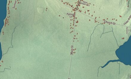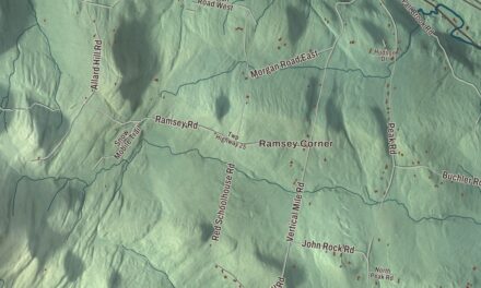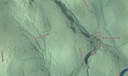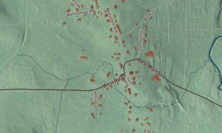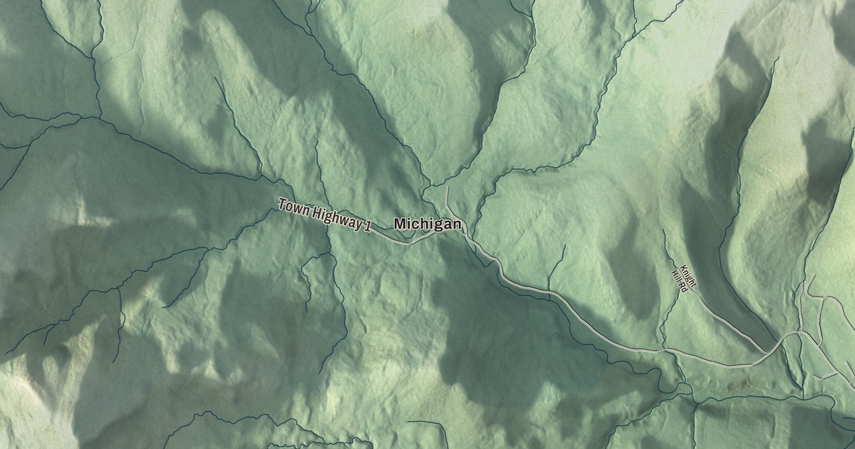
Chittenden is mostly mountain and forest, with its village tucked into the southwest corner and a reservoir up in the hills. This map prints the Chittenden Reservoir, Lefferts Pond and South Pond, the settlements of North Chittenden and Michigan, and Chittenden Road, Holden Road, Furnace Brook Road, West Road, Mountain Top Road and Mount Top Road.
Chittenden is a town in Rutland County, Vermont.
KNOWOL made this map in 2026 from public survey data and gave it the look of an old county atlas. The relief shading comes from United States Geological Survey elevation data, and the roads and the town line come from the Census Bureau. At 74.2 square miles, Chittenden is the largest town by area in Vermont, a little bigger than Stowe, and it had 1,237 people at the 2020 census. Click here to purchase a print of this map for your wall.
The governor’s town
Chittenden dates to 1780. Vermont granted it on March 16 of that year, while Vermont was still an independent republic, and the town organized in 1789. It’s named for Thomas Chittenden, one of the Green Mountain Boys, who was the first governor of the Vermont Republic in 1778 and kept leading Vermont, as republic and then as a state, until his death in 1797. He and his son Noah were among the town’s main grantees, though the town page says the governor may never have visited it. His own home was in Williston, where he was the first settler.
A town split by a ridge
A ridge of the Green Mountains runs through Chittenden and divides it in two, and only the western half of the town is settled. The village sits in the southwest corner, and much of the rest of the town is still unbroken forest.
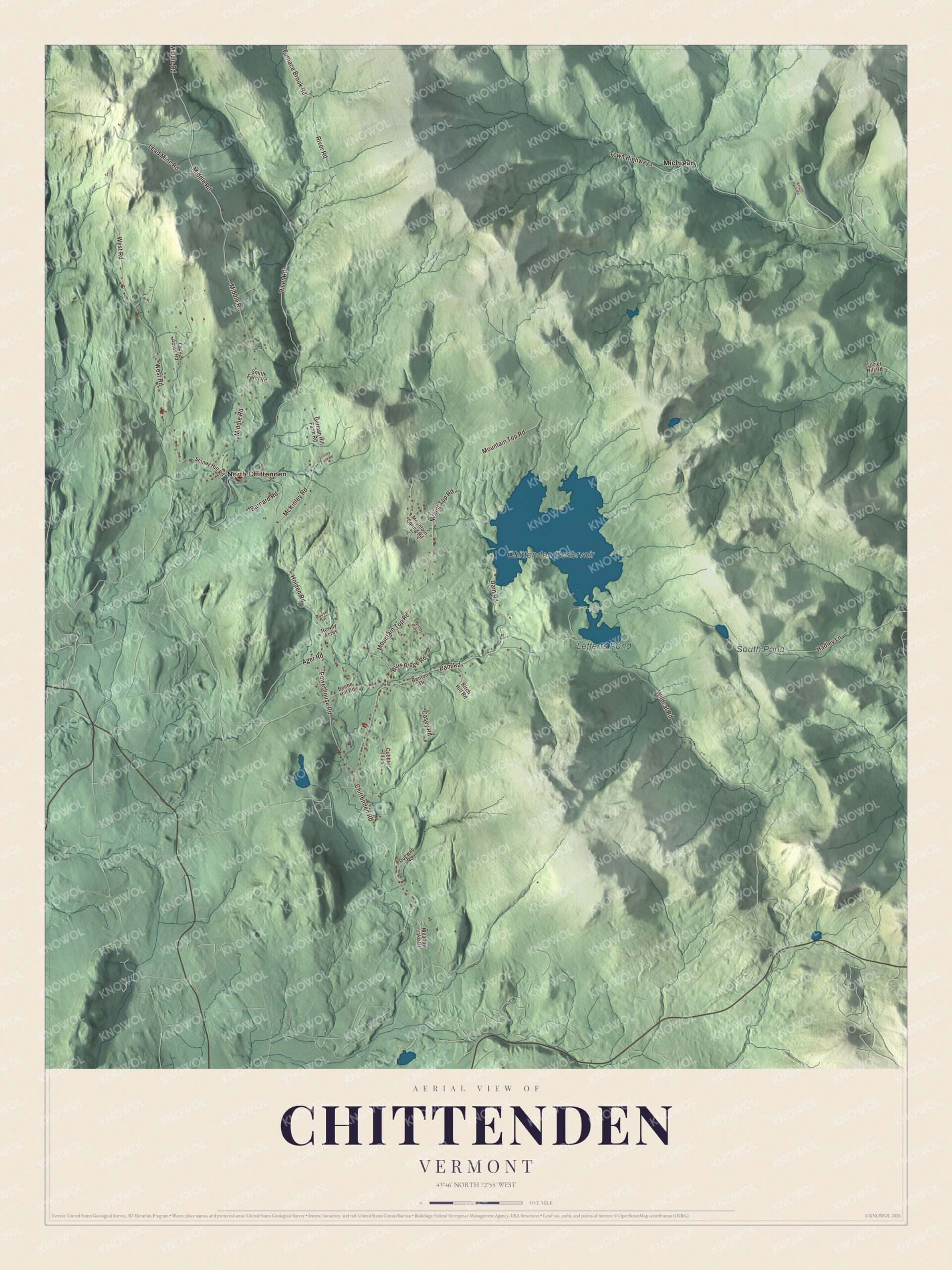
Click to explore a larger preview. The digital watermark does not appear on printed maps.
Names on this map
These names are printed on this map.
Places: Chittenden Reservoir, Lefferts Pond, South Pond, Michigan and North Chittenden.
Streets and roads: Chittenden Road, Mountain Top Road, Mount Top Road, Holden Road, Furnace Brook Road, West Road, Middle Road, River Road, Wildcat Road, Town Highway 1, Dam Road, Hadley Lane.
More street names, A to Z
Ager Road, Barnard Road, Baush Lane, Beebe Hill Road, Benton Drive, Birch Hill Road, Blue Ridge Road, Casey Road, Cobble Hill Lane, Dugway Road, German Hill Farm Road, Knight Hill Road, Lazy Acres Road, Lead Mine Road, McKinley Road, Meadow Lake Drive, Mountain Spring Road, Powerhouse Road, Rowdy Acres, Smith Farm Road, Stoney Field Road, Stoney Hill Road, Tozier Hill Road, Windy Ridge.
See it on a wall
The Chittenden map as a framed print. Swipe for more.


The Eddy farm and the Theosophists
In the 1870s Chittenden drew visitors from around the world because of two brothers, William and Horatio Eddy. They grew up on a small farm in town, and by 1870 they and their widowed mother had opened a small inn called the Green Tavern, where the brothers held regular séances. Magicians and skeptics called their “spirit” shows fraud, and later writers showed how the tricks were done.
The visitors still made history. In 1874 Henry Steel Olcott, a lawyer and journalist, came to the Eddy farm to write about it for the New York Sun, and there he met Helena Blavatsky, who was visiting too. The next year the two of them founded the Theosophical Society in New York City with William Quan Judge and others. Olcott went on to help lead a revival of Buddhism in Sri Lanka, where he’s still honored. It’s an unlikely chain of events, and it started at a farm in Chittenden.
On the map, start with Chittenden Road and West Road, then find Holden Road and Furnace Brook Road. Mountain Top Road and Mount Top Road are both printed. North Chittenden and Michigan are marked as well, and the Chittenden Reservoir, Lefferts Pond and South Pond sit among the hills.
Hang this map of Chittenden in an office, library or den, or use it to teach children the geography and history of Vermont’s largest town by area. It’s made for everyone who calls Chittenden home and shows the town as it looks today, from the village to the reservoir. KNOWOL created it in 2026, and it’s printed on museum quality archival paper. Zoom in on the preview above to explore the details, then click here to get your copy of the Chittenden, Vermont map.

Sources