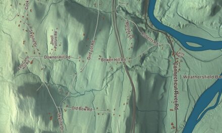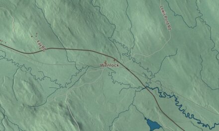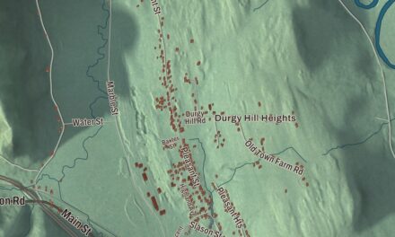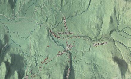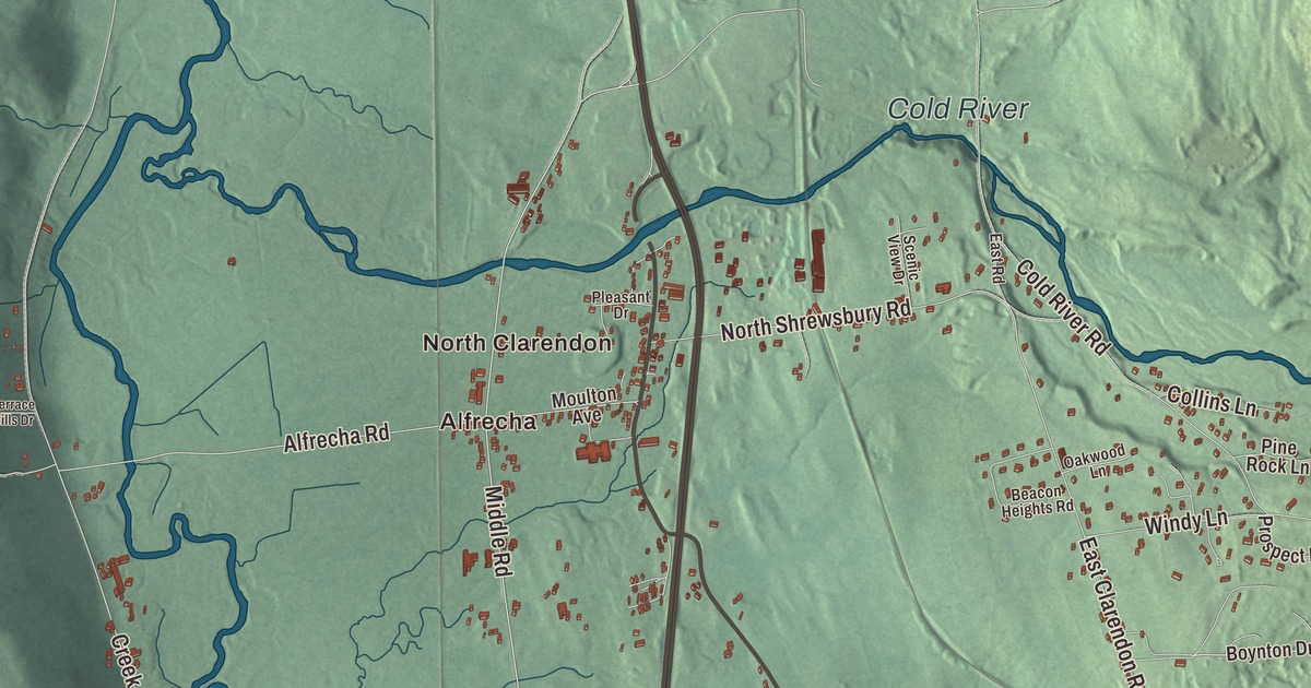
Clarendon is a town of hamlets, each one set apart by a river, a highway or a mountain. This map prints North Clarendon, East Clarendon, Clarendon Springs, Alfrecha and Pierces Corner, the Otter Creek, Cold River and Mill River, and Clarendon Road, Middle Road, Creek Road, Quarterline Road, Walker Mountain Road and West Tinmouth Road.
Clarendon is a town in Rutland County, Vermont.
KNOWOL made this map in 2026 from public survey data and gave it the feel of an old county atlas. The terrain is shaded from United States Geological Survey elevation data, and the roads and the town line come from the Census Bureau. Clarendon covers 31.6 square miles, all of it land, and it had 2,412 people at the 2020 census. Click here to purchase a print of this map for your wall.
Settled in 1762
Clarendon dates to 1761, when New Hampshire granted it on September 5. Families from southern New England were settling here as early as 1762, when the area was counted as part of Albany County, New York, and later of Charlotte County, until Vermont declared itself a republic around 1777. The town was organized before 1778.
U.S. Route 7, the Cold River, the Mill River, Otter Creek and the Green Mountains split Clarendon into hamlets: Clarendon itself, West Clarendon, East Clarendon, Clarendon Springs and North Clarendon. Otter Creek, which runs north through town toward Rutland, is the longest river entirely inside Vermont. North Clarendon sits just south of the Cold River, about three miles south of Rutland, and the Rutland Southern Vermont Regional Airport is there too, with flights to Boston.
The Old Brick Church and the Kingsley mill
The Clarendon Congregational Church, also called the Old Brick Church, stands on Middle Road in the old town center, across from the town offices and facing a small common. The congregation formed in 1822 and built the brick church in 1824. In the 1880s it added its steeple, built by the bridgewright Nichols Powers, and stained glass windows. The church was listed on the National Register in 1984.
Powers, a noted Vermont bridgewright who was living in Clarendon in 1880, is better known for his covered bridges. He also rebuilt the grist mill at the Kingsley Grist Mill Historic District, near the junction of Gorge and East Roads. A house there was built about 1778 by Ezra Crary and his son Nathaniel, a Revolutionary War veteran, who also built the first mills on the site. Chester Kingsley bought the place in 1825 and built new mills, and the Kingsleys ran the grist mill until 1935. Next to it, the Kingsley Covered Bridge carries East Street over the Mill River. Built about 1870 by Timothy K. Horton, it’s 121 feet long and the town’s only surviving 19th-century covered bridge, and it sits just under the landing strip of the airport.
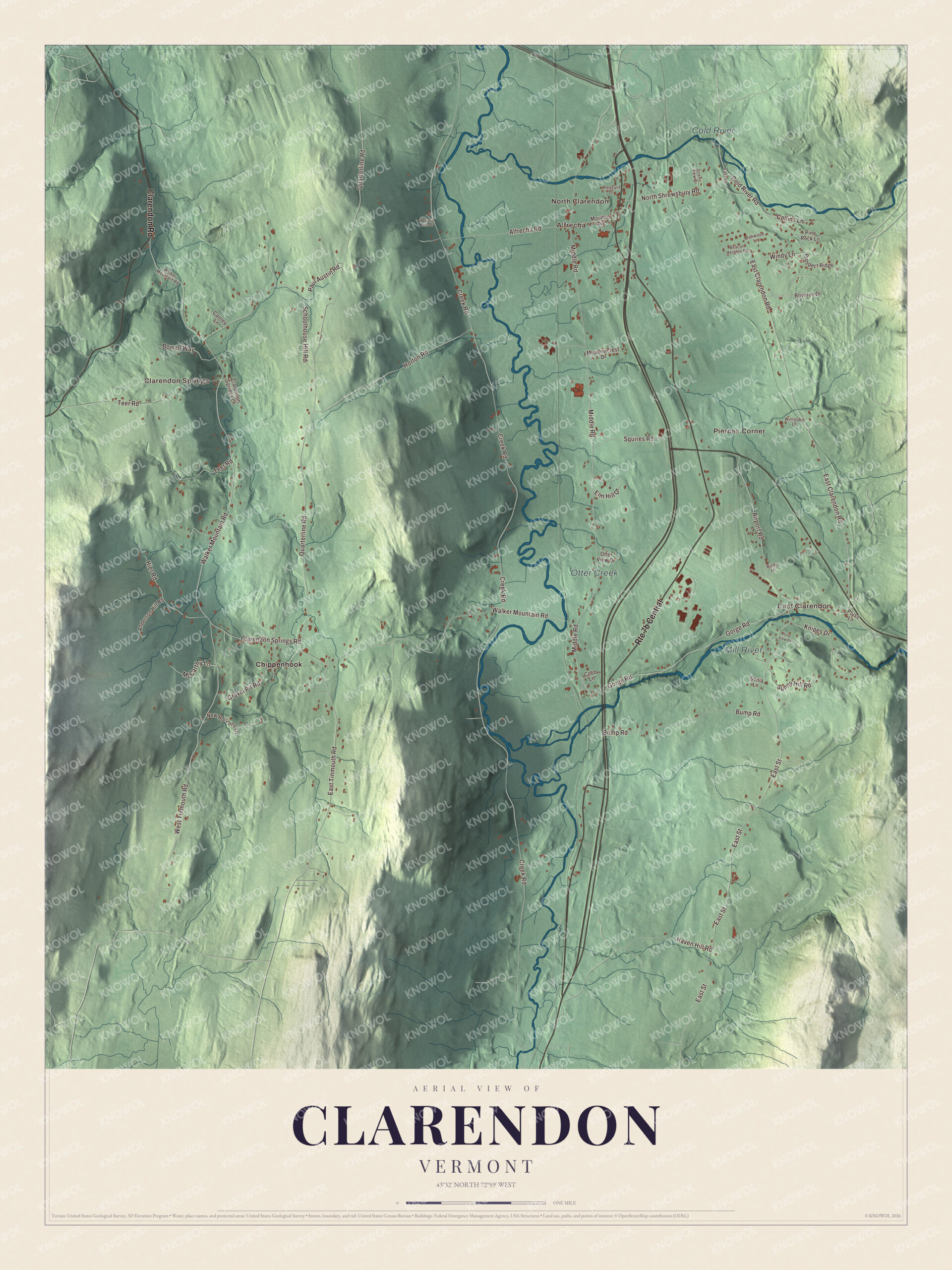
Click to explore a larger preview. The digital watermark does not appear on printed maps.
Names on this map
These names are printed on this map.
Places: North Clarendon, Alfrecha, East Clarendon, Clarendon Springs, Pierces Corner, Otter Creek, Cold River, Mill River and Chippenhook.
Streets and roads: Clarendon Road, Walker Mountain Road, West Tinmouth Road, Middle Road, Creek Road, Quarterline Road, East Clarendon Road, East Street, East Tinmouth Road, Airport Road, Teer Road, Gorge Road.
More street names, A to Z
Alfrecha Road, Anderson Hill Road, Beacon Heights Road, Bixby Lane, Bowen Way, Boynton Drive, Bump Road, Carney Lane, Clarendon Springs Lane, Clarendon Springs Road, Cobb Lane, Cold River Road, Collins Lane, East Road, Elm Hill Drive, Gravel Pit Road, Haven Hill Road, Hier Road, Horton Road, Knipes Drive, McCarthy Lane, Meadowcrest Drive, Moulton Avenue, New Horizons Lane, North Shrewsbury Road, Oakwood Lane, Otter View Drive, Paul Austin Road, Pine Rock Lane, Pleasant Drive, Pluss Lane, Pond View Drive, Prospect Ridge, Scenic View Drive, Schoolhouse Hill Road, Sonia Lane, Squires Road, Sunny Hill Road, Terrace Hills Drive, Windy Lane, Wintookit Lane.
See it on a wall
The Clarendon map as a framed print. Swipe for more.


Clarendon Springs and the gorge
The Clarendon House, off Vermont Route 133 in Clarendon Springs, was a spa resort hotel in the early 1900s and is listed on the National Register. Over in East Clarendon, the Rutland Railroad built a station in 1916 on a line that dates to 1849, one of the oldest in Vermont. The station served passengers and freight until 1953, was moved a short distance that year, and now holds a restaurant. On the Mill River, the Clarendon Gorge is reached from the combined Appalachian Trail and Long Trail by a 30-foot suspension bridge, and people cross it for the waterfall and the swimming holes.
Clarendon people
Charles V. Dyer was born in Clarendon in 1808 and became a doctor and abolitionist in Chicago. In 1839 he took in a boy escaping slavery and arranged his passage to Windsor, Canada, the start of his work as a stationmaster on the Underground Railroad, and in 1863 Abraham Lincoln named him a judge of the court set up to suppress the slave trade, in Sierra Leone. George F. Emmons, born in Clarendon in 1811, sailed as a lieutenant with the Wilkes Exploring Expedition of 1838 to 1842, which discovered the Antarctic continent.
To find your place on the map, follow Otter Creek and the Cold River, then pick out Middle Road, Clarendon Road, Creek Road and Quarterline Road. Walker Mountain Road and West Tinmouth Road are printed too, along with Alfrecha and Pierces Corner.
Hang this map of Clarendon in an office, library or den, or use it to teach children the geography and history of a town of hamlets and rivers. It’s made for everyone who calls Clarendon home and shows the town as it looks today, from North Clarendon to Clarendon Springs. KNOWOL created it in 2026, and it’s printed on museum quality archival paper. Zoom in on the preview above to explore the details, then click here to get your copy of the Clarendon, Vermont map.

Sources
- Clarendon, Vermont, Wikipedia
- Town histories and representatives, C towns, Vermont Legislature
- Otter Creek (Vermont), Wikipedia
- North Clarendon, Vermont, Wikipedia
- Rutland Southern Vermont Regional Airport, Wikipedia
- Clarendon Congregational Church, Wikipedia
- Kingsley Grist Mill Historic District, Wikipedia
- Kingsley Covered Bridge, Wikipedia
- Brown Covered Bridge, Wikipedia
- East Clarendon station, Wikipedia
- Charles V. Dyer, Wikipedia
- George F. Emmons, Wikipedia