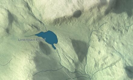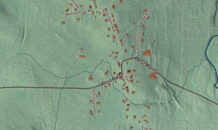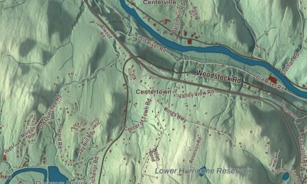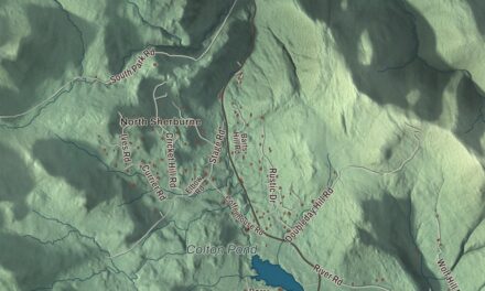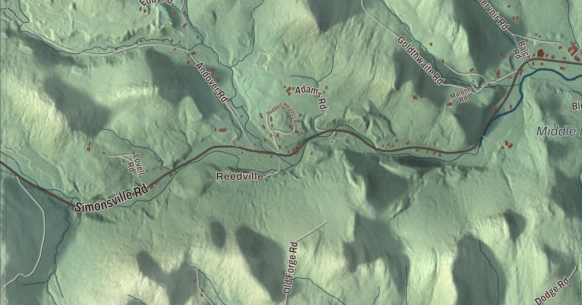
In Chester the old stone houses of North Chester look across the Williams River at the center of town, and the river’s three branches come together right here. This map prints the Williams River, the Middle Branch Williams River and the Chester Reservoir, the outlying places of North Chester, Gassetts, Reedville, Baileys Mills and Spoonerville, and Main Street, Depot Street, North Street, Grafton Street, Grafton Road and Simonsville Road.
Chester is a town in Windsor County, Vermont.
KNOWOL made this map in 2026 from public survey data, styled after an old county atlas. Its shaded relief comes from United States Geological Survey elevation data, and its roads and town line come from the Census Bureau. Chester is a big town of 55.9 square miles, and it had 3,005 people at the 2020 census. Click here to purchase a print of this map for your wall.
Three charters and a name
Chester dates to 1754, when New Hampshire’s governor, Benning Wentworth, chartered it as Flamstead. The terms of that charter weren’t met, and in 1761 it was chartered again as New Flamstead. Then in 1766 New York issued its own patent and renamed the town Chester, after the Earl of Chester, the eldest son of King George III. Vermont later went back to the 1761 charter but kept the name, and that’s why Chester celebrated its 250th anniversary in 2011.
One of the founders, Thomas Chandler Jr., was chosen town clerk in 1763 at a meeting of the proprietors held in Worcester, Massachusetts. He went on to become Speaker of the Vermont House and, in 1778, Vermont’s first secretary of state.
Two villages on the Williams River
The Williams River, a tributary of the Connecticut, is the town’s big natural feature, and people here use it for fishing and swimming. The Middle Branch joins it in Chester. The river carries the name of John Williams of Deerfield, Massachusetts, who preached the first Christian sermon in what would become Vermont near its mouth in 1704.
The village grew in two parts because of an argument. In 1785 the Baptists and Congregationalists couldn’t agree where to put their meetinghouses, and in the end the Congregationalists took the North parish and the Baptists the South parish. The Baptists’ first meetinghouse of 1785 still stands. The south end, a long stretch of Main Street, prospered on a stagecoach route and on mills along the river, and it still has the brick Chester Academy of 1814. It’s listed on the National Register as the Chester Village Historic District. The railroad between the two villages later joined them into one long village. On North Street, the Jeffrey House has its own National Register listing.
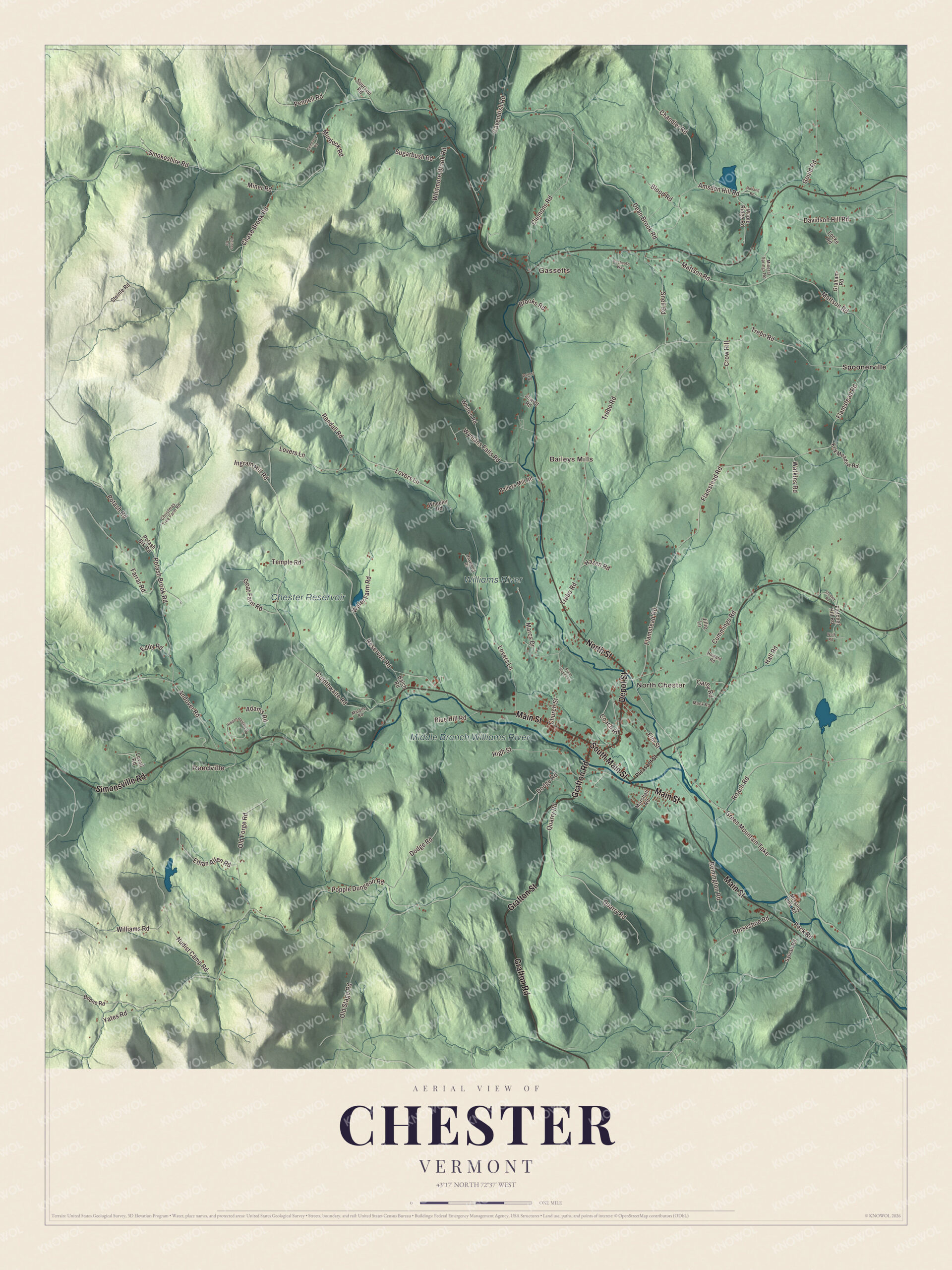
Click to explore a larger preview. The digital watermark does not appear on printed maps.
Names on this map
These names are printed on this map.
Places: Reedville, Gassetts, North Chester, Baileys Mills, Williams River, Chester Reservoir, Middle Branch Williams River and Spoonerville.
Streets and roads: Main Street, Grafton Street, Depot Street, North Street, Simonsville Road, Grafton Road, South Main Street, Green Mountain Turnpike, Lovers Lane, Reservoir Road, Flamstead Road, Roach Road.
More street names, A to Z
Adams Road, Amsden Hill Road, Andover Road, Baileys Mill Road, Balch Road, Blood Road, Blue Hill Road, Boone Road, Brooks Road, Carey Road, Cavendish Road, Cemetery Road, Chandler Road, Chase Brook Road, Christmas Tree Farm Road, Church Street, Clemons Road, Coach Road, Crow Hill, Cummings Road, Davidson Hill Road, Dean Brook Road, Dodge Road, Eddy Road, Elm Street, Ethan Allen Road, Farrar Road, Fletcher Hill Road, Goat Farm Road, Goldthwaite Road, Gould Road, Graham Road, Hall Road, Haywood Drive, Hazen Road, Hidden Heights Road, High Street, Horseshoe Road, Howard Road, Ingram Hill Road, Jewett Road, Jillie Lane, Kirk Meadow Road, Locke Road, Lovell Road, Mack Road, Malone Road, Maple Ridge Road, Marcs Drive, Marshall Road, Mattson Road, Mineral Springs Road, Miner Road, Missing Link Road, Murdock Road, Nudist Camp Road, Old Forge Road, Old Stage Road, Palmer Road, Peck Road, Pennell Road, Pleasant Street, Pleines Road, Popple Dungeon Road, Potash Brk Road, Potash Brook Road, Potash Road, Quarry Road, Racheal's Way, Randall Road, Remington Road, Rolland Road, Smokeshire Road, Snell Road, Steinle Road, Stone Hedge Lane, Stooley Road, Sugarbush Road, Suursoo Road, Sylvan Road, Temple Road, Trebo Road, Water Farm Road, Watkins Road, Wheeler Road, Whitmore Brook Road, Whitten Road, Williams Road, Wolf Road, Wymans Falls Road, Yates Road.
See it on a wall
The Chester map as a framed print. Swipe for more.


The Stone Village
On Vermont Route 103, on the north side of Chester Depot village, stands the Stone Village. In 1832 two Scottish masons, the brothers Alison and Wiley Clark, came to Chester to work on a factory building. In 1834 Doctor Ptolmey Edson hired them to build his house in snecked ashlar, a technique masons from the Aberdeen area brought with them, in which plates of stone are set into a rubblestone wall. Other houses followed, and so did a stone church and a stone schoolhouse, possibly because Edson sat on both building committees. Thirteen of the seventeen buildings in the district are stone. Only about 50 buildings of this kind survive in all of Vermont, and the highest concentration of them is here. The district was listed on the National Register in 1974.
Chester people
Donald J. Cram was born and raised in Chester and shared the 1987 Nobel Prize in Chemistry. Merritt A. Edson grew up here and graduated from Chester High School in 1915. As a Marine colonel he led the 1st Raider Battalion on Guadalcanal, where the ridge his men held in September 1942 became known as Edson’s Ridge, and he received the Medal of Honor for it. Anna Dewdney, who wrote and illustrated a series of children’s books that were all New York Times bestsellers, lived in Chester. Every September the town holds the Chester Fall Festival on the Green, and in February there’s a Winter Carnival.
On the map, start with Main Street through the old South parish, then find Depot Street, North Street, Grafton Street, Grafton Road and Simonsville Road. Reedville and Gassetts, Baileys Mills and Spoonerville are printed farther out from the village, and the Chester Reservoir and both branches of the river are marked too.
Hang this map of Chester in an office, library or den, or use it to teach children the geography and history of a town of stone houses and two old parishes. It’s made for everyone who calls Chester home and shows the town as it looks today, from the Stone Village to the Green. KNOWOL created it in 2026, and it’s printed on museum quality archival paper. Zoom in on the preview above to explore the details, then click here to get your copy of the Chester, Vermont map.

Sources
- Chester, Vermont, Wikipedia
- Town histories and representatives, C towns, Vermont Legislature
- Thomas Chandler Jr., Wikipedia
- Williams River (Vermont), Wikipedia
- Chester Village Historic District, Wikipedia
- Stone Village Historic District, Wikipedia
- Donald J. Cram, Wikipedia
- Merritt A. Edson, Wikipedia
- Anna Dewdney, Wikipedia