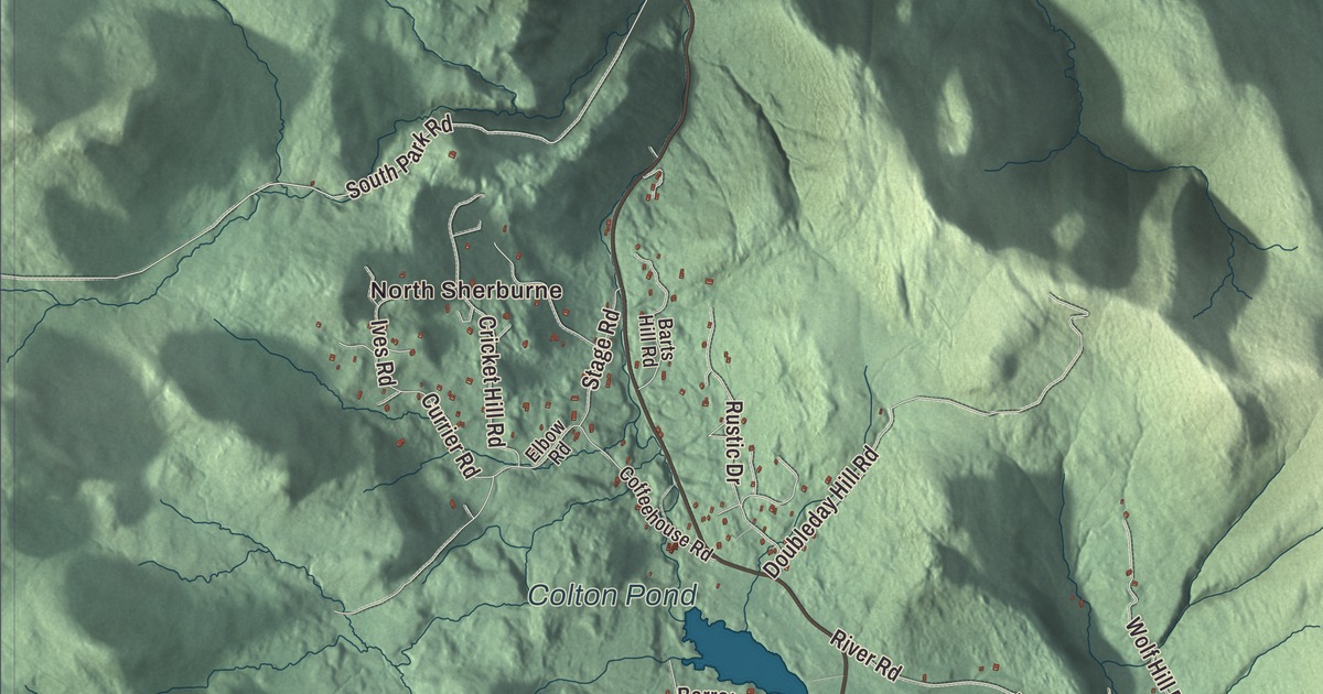
For almost two hundred years this town was called Sherburne. This map prints North Sherburne, South Sherburne and Sherburne Center, with Killington Village, Telemark Village, The Woods and West Bridgewater, Kent Pond, Colton Pond and Pico Pond, and roads such as Killington Road, East Mountain Road, River Road, Oxbow Road, South Park Road and Alpine Drive.
Killington is a town in Rutland County, Vermont.
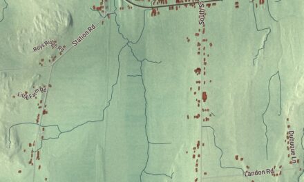
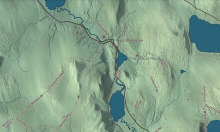
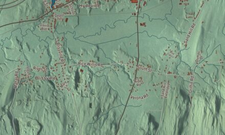
KNOWOL made this map in 2026 from public survey data and gave it the look of an old county atlas, shading the hills from United States Geological Survey elevation data and drawing the roads and town line from the Census Bureau. Killington covers 46.9 square miles of the Green Mountains, and the Ottauquechee River begins here. Click here to purchase a print of this map for your wall.
Killington, Sherburne, Killington
New Hampshire granted the town as Killington on July 7, 1761. In 1763 its big mountain was known as Pisgah. The town organized on March 2, 1795, and John Anthony was its first representative, starting in 1798. In 1800 the town was renamed Sherburne for a landholder, Colonel Benjamin Sherburne. Almost two hundred years later, on March 2, 1999, voters chose to go back to the original name, and the change became official on July 1, 1999.
Mission Farm sits at 316 Mission Farm Road, across the Ottauquechee from the ski resort. Josiah Wood Jr., whose father was one of Killington’s early settlers, built the farmhouse about 1817, raised a large family there and kept a tavern. In 1894 his daughter, Elizabeth Wood Clement, bought the farm back and gave it to the Episcopal Diocese of Vermont as a mission. The Church of Our Saviour, a Gothic Revival church of Vermont granite designed by the Rutland architect Arthur H. Smith, went up across the road in 1894 and 1895. It’s been on the National Register since 1992.
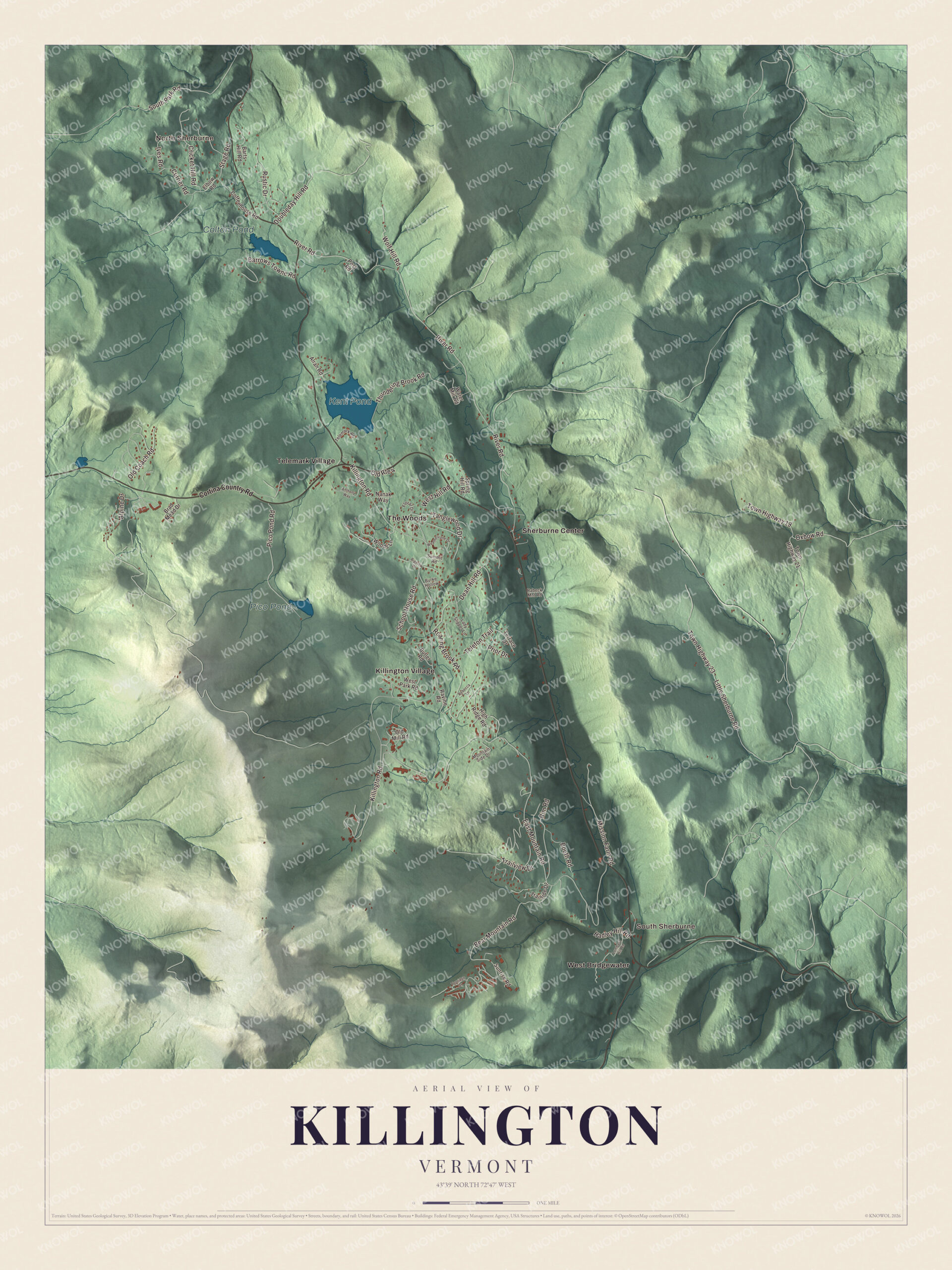
Click to explore a larger preview. The digital watermark does not appear on printed maps.
Names on this map
These names are printed on this map.
Places: North Sherburne, South Sherburne, Kent Pond, Colton Pond, Pico Pond, Killington Village, Sherburne Center, Telemark Village, The Woods and West Bridgewater.
Streets and roads: Alpine Drive, Oxbow Road, Town Highway 19, South Park Road, Killington Road, East Mountain Road, River Road, Thundering Brook Road, Little Sherburne Road, Town Highway 23, Roaring Brook Road, Doubleday Hill Road.
More street names, A to Z
Alran Road, Anthony Way, Barrows Towne Road, Barts Hill Road, Bear Mountain Road, Bigelow Drive, Booth Road, Brad Mead Drive, Burke Hollow, Butler Road, Coffeehouse Road, Cortina Country Road, Cricket Hill Road, Currier Road, Dean Hill Road, Elbow Road, Floral Drive, Hadley Hill Road, High Ridge Road, Ives Road, Lady Slipper Lane, Lombard Hill Road, Mission Farm Road, Mountain Side Drive, Nanak Way, Old Coach Road, Old Mill Road, Old Route 4, Pico Pond Road, Post Road, Prior Drive, Rabeck Mnt Road, Ravine Road, Rebecca Lane, Rim Road, Rustic Drive, School House Road, Spring Hill Road, Stage Road, Summit Road, Sunrise Road, Tanglewood Drive, Telefon Trail, Telemark Road, Terrace Drive, Topridge Drive, Town Highway 21, Trailside Drive, Trailview Drive, Water Mill Road, Weathervane Drive, West Hill Road, West Park Road, Wolf Hill Road, Woods Lane.
See it on a wall
The Killington map as a framed print. Swipe for more.


Two mountains and two trails
Killington Peak is the second highest summit in Vermont, and Killington Ski Resort, which opened in 1958, is on the mountain. Its page calls it the largest ski area in the eastern U.S. Pico, 3 miles north of Killington Peak, opened on Thanksgiving Day in 1937, one of the first commercial ski resorts in the state, and its page says the first T-bar lift in the United States began running there in 1940. The Mead family founded Pico, and their daughter, Andrea Mead Lawrence, won two gold medals in skiing at the 1952 Winter Olympics in Oslo. Killington bought Pico in 1997, and the two still run as separate ski areas.
The top of Sherburne Pass, between Pico Peak and Deer Leap Mountain, is in Killington. The Long Trail and the Appalachian Trail share a route over Killington Peak, and its page says that for hikers heading south it’s the last 4,000-foot peak close to the trail until Virginia. North of the pass, the Appalachian Trail turns east toward New Hampshire and runs through Gifford Woods State Park and around Kent Pond. The park, started in 1931, keeps an old-growth forest that became a National Natural Landmark in 1980, and the Civilian Conservation Corps built its road, ranger house and picnic area in 1933 and 1934.
On the map, follow Killington Road and East Mountain Road, then River Road, Oxbow Road, South Park Road and Alpine Drive. North Sherburne, South Sherburne and Sherburne Center are printed, and so are Killington Village, Telemark Village, The Woods and West Bridgewater, with Kent Pond, Colton Pond and Pico Pond. Killington dates to 1761.
This map of Killington is made for everyone who calls Killington home, and it shows the town as it looks today, from Kent Pond to South Sherburne. Hang it in an office, library or den, or use it to teach children the geography and history of their town. It’s printed on museum quality archival paper. Zoom in on the preview above to explore the details, then click here to get your copy of the Killington, Vermont map.

Sources
- Killington, Vermont, Wikipedia
- Town histories and representatives, S towns (Sherburne), Vermont Legislature
- Killington Peak, Wikipedia
- Church of Our Saviour (Killington, Vermont), Wikipedia
- Killington Ski Resort, Wikipedia
- Pico Mountain, Wikipedia
- Sherburne Pass, Wikipedia
- Gifford Woods State Park, Wikipedia
- Ottauquechee River, Wikipedia