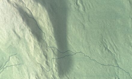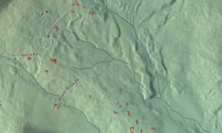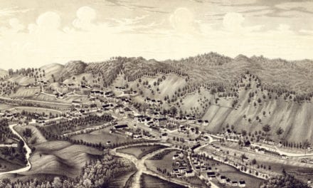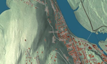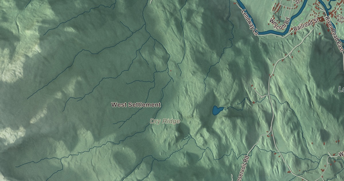
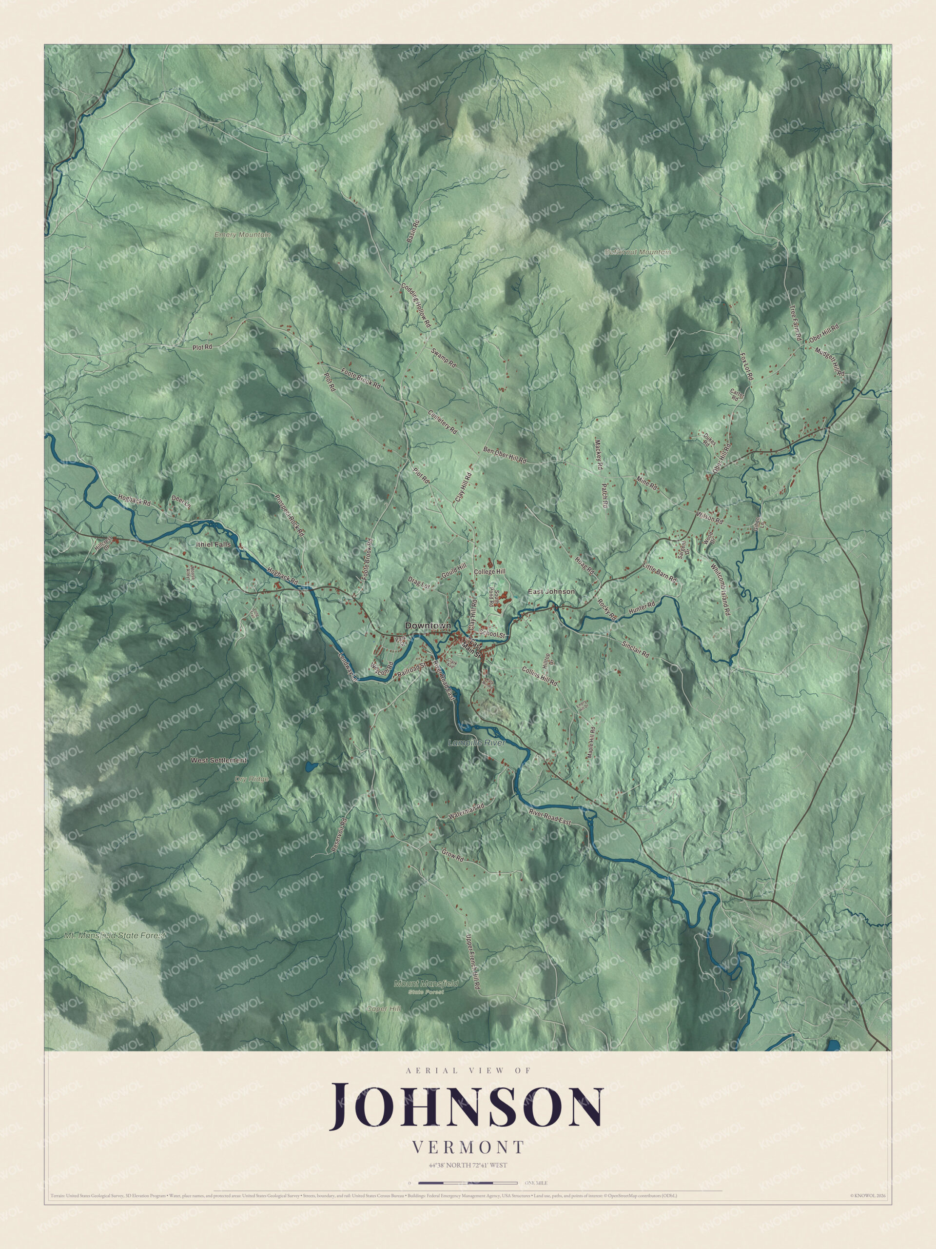
Johnson is a college town and a mill town in the Lamoille valley, where the Gihon River joins the Lamoille at the village. This map prints the Lamoille River, West Settlement, Ithiel Falls and East Johnson, with Butternut Mountain, Caper Hill and Dry Ridge, and roads such as Codding Hollow Road, Upper French Hill Road, Clay Hill Road, Wescom Road, Mine Road and Plot Road. Mt. Mansfield State Forest has its place on the sheet too.
Johnson is a town in Lamoille County, Vermont.
KNOWOL made this map in 2026 from public survey data and gave it the look of an old county atlas, shading the hills from United States Geological Survey elevation data and drawing the roads and town line from the Census Bureau. Johnson covers 45.1 square miles in the center of Lamoille County, with the Green Mountains rising north and south of the river. Click here to purchase a print of this map for your wall.
The King’s College Tract
In 1774 a royal charter from King George III set this land and part of neighboring Cambridge aside as the King’s College Tract, held for the growth of King’s College in New York, today’s Columbia University. After independence Vermont granted it to William Samuel Johnson, the jurist, statesman and educator the town is named for. The Legislature’s town list records a grant on February 27, 1782, the town organizing on March 4, 1789, and a charter on January 2, 1792. Johnson’s first representative, Noah Smith, was living in Bennington when he was elected in 1789, and the list calls it perhaps the only time Vermont elected a non-resident. The town was part of Franklin County until Lamoille County was organized in 1836.
The Lamoille River gives the county its name, and the river’s page passes on a legend that early French settlers called it La Mouette, “the seagull,” until a mapmaker left the t’s uncrossed. In 1842 local farmers began bringing their wool to Andrew Dow’s mill above the Gihon River to be woven into cloth. That was the start of Johnson Woolen Mills, which began making its own clothing in the early 20th century. The mill itself closed in 1960, but the company still makes wool clothing in Johnson.
Click to explore a larger preview. The digital watermark does not appear on printed maps.
Names on this map
These names are printed on this map.
Places: Downtown, West Settlement, Ithiel Falls, East Johnson, Butternut Mountain, Caper Hill, Dry Ridge, Emery Mountain, Lamoille River, Mt. Mansfield State Forest and Mount Mansfield State Forest.
Streets and roads: Wescom Road, Codding Hollow Road, Mine Road, Plot Road, Upper French Hill Road, Clay Hill Road, Foote Brook Road, River Road East, Hogback Road, Ober Hill Road, Collins Hill Road, Ben Ober Hill Road.
More street names, A to Z
Basin Road, Carter Road, Cemetery Road, Clark Avenue, College Hill, Deer Lane, Drag Lot, Dukes Road, East Main Street, Emery Hill Drive, Fox Lot Road, Gihon Lane, Gould Hill, Grow Road, Hillcrest Drive, Hilltop Drive, Hoag Road, Hunter Road, Katy Win Road, Lendway Lane, Little Barn Road, Long Trail, Mackey Road, Maple Hill Road, Moose Alley, Mudgett Hill Road, Park Street, Patch Road, Prospect Rock Road, Railroad Street, Reservoir Road, Rocky Road, Sargent Drive, School Street, Sinclair Road, South Pond Road, Swamp Road, Tree Farm Road, Waterman Road, Whitcomb Island Road, Wilson Road, Wood Drive.
See it on a wall
The Johnson map as a framed print. Swipe for more.


School and studio
Johnson Academy was founded in 1828 and later became Johnson State College. In 2018 it merged with Lyndon State College to form Northern Vermont University, and in July 2023 that school joined Castleton and Vermont Tech to form Vermont State University, which keeps a 350-acre campus in Johnson. The campus includes the Dibden Center for the Arts and the Julian Scott Memorial Gallery. Along the Gihon River in the village, the Vermont Studio Center, founded in 1984, keeps twenty studio and residence buildings, and its page says it runs the largest fine arts and writing residency program in the United States, with artists and writers from more than 40 countries.
Johnson’s people
Julian Scott, born in Johnson in 1846, enlisted in the 3rd Vermont Infantry at 15. At Lee’s Mills, Virginia, in 1862 he crossed a creek several times under heavy fire to help bring off the wounded, and he received the Medal of Honor for it. After the war he became a painter, and his Battle of Cedar Creek hangs in the Vermont State House. Amalia Post, born in Johnson in 1826, became a leader of the woman suffrage movement in Wyoming, where the first territorial legislature granted women the vote in 1869. Charles H. Sheldon, born here in 1840, became the second governor of South Dakota.
Around the map
Route 15 follows the Lamoille through the middle of town, and Route 100C leads northeast from the village toward North Hyde Park. Three of the town’s bridges are on the National Register. The Power House Covered Bridge, on School Street over the Gihon, was rebuilt and reopened in 2002 after heavy snow brought its roof down in 2000. The Scribner Covered Bridge carries Rocky Road across the Gihon in eastern Johnson, and the Railroad Street Bridge, a Pratt through truss built in 1928, crosses the Lamoille south of the village. Mt. Mansfield State Forest, which reaches into Johnson, covers 44,444 acres across seven towns.
On the map, follow the Lamoille River through town, then take Codding Hollow Road, Upper French Hill Road, Clay Hill Road, Wescom Road, Mine Road and Plot Road. West Settlement, Ithiel Falls and East Johnson are printed, and so are Butternut Mountain, Caper Hill and Dry Ridge. Look for Mt. Mansfield State Forest as well. Johnson dates to 1792.
This map of Johnson is made for everyone who calls Johnson home, and it shows the town as it looks today, from East Johnson to Ithiel Falls. Hang it in an office, library or den, or use it to teach children the geography and history of their town. It’s printed on museum quality archival paper. Zoom in on the preview above to explore the details, then click here to get your copy of the Johnson, Vermont map.

Sources
- Johnson, Vermont, Wikipedia
- Town histories and representatives, J towns, Vermont Legislature
- Lamoille River, Wikipedia
- Johnson Woolen Mills, Wikipedia
- Vermont State University, Wikipedia
- Vermont Studio Center, Wikipedia
- Julian Scott, Wikipedia
- Amalia Post, Wikipedia
- Charles H. Sheldon, Wikipedia
- Power House Covered Bridge, Wikipedia
- Scribner Covered Bridge, Wikipedia
- Bridge 6 (Johnson, Vermont), Wikipedia
- Mount Mansfield State Forest, Wikipedia