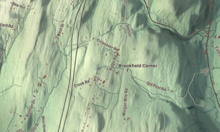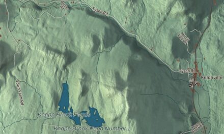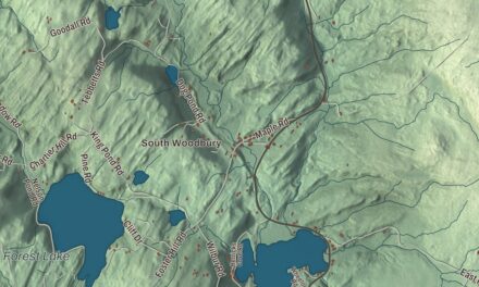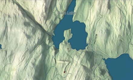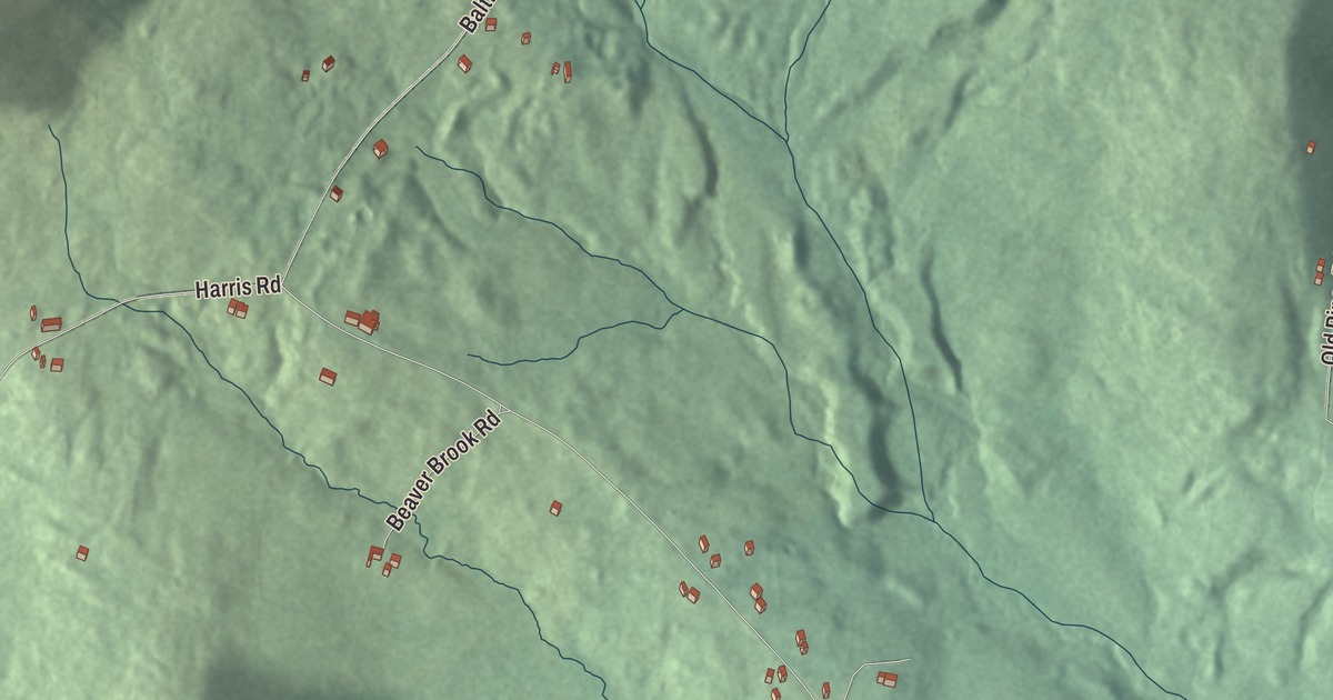
Baltimore is a town of dirt roads and stone walls. This map prints six of its roads by name: Baltimore Road, Harris Road, Old Piper Road, Graves Road, Gould Road and Beaver Brook Road.
Baltimore is in Windsor County, with Hawks Mountain along its border with Cavendish.
KNOWOL made this map in 2026 from public survey data and gave it the look of an old atlas. The shaded terrain comes from United States Geological Survey elevation data, and the roads and the town line come from the Census Bureau. The whole town covers just 4.7 square miles, all of it land, and Baltimore had 229 people at the 2020 census. Click here to purchase a print of this map for your wall.
The town on the far side of Hawks Mountain
Baltimore began as the southeast corner of Cavendish. The families who lived southeast of Hawks Mountain found it hard to get over the mountain to the town office in what’s now Cavendish village. An act of the legislature on October 19, 1793, set off a small triangle of some three thousand acres as the town of Baltimore, and Cavendish was that much smaller. A Windsor County history calls it the smallest of the county’s towns by several fold, run on the same town meeting plan as every other New England town. In the 1820s and 1830s, starch making was its main industry.
A small town with its own ways
Baltimore has never had a post office or a village center, and its only public building is a former schoolhouse that now serves as the town clerk’s office. A 2025 visit by the Happy Vermont writer counted 7.06 miles of dirt road in town, with stone walls along some of them and near the town cemetery, and heard from locals that Old Shincracker Road takes its name from Shincracker Mountain, a 1,200-foot peak in Baltimore. Baltimore is also, by its page’s count, the last dry town in Vermont, alone in that since neighboring Athens voted to go wet in 2024.
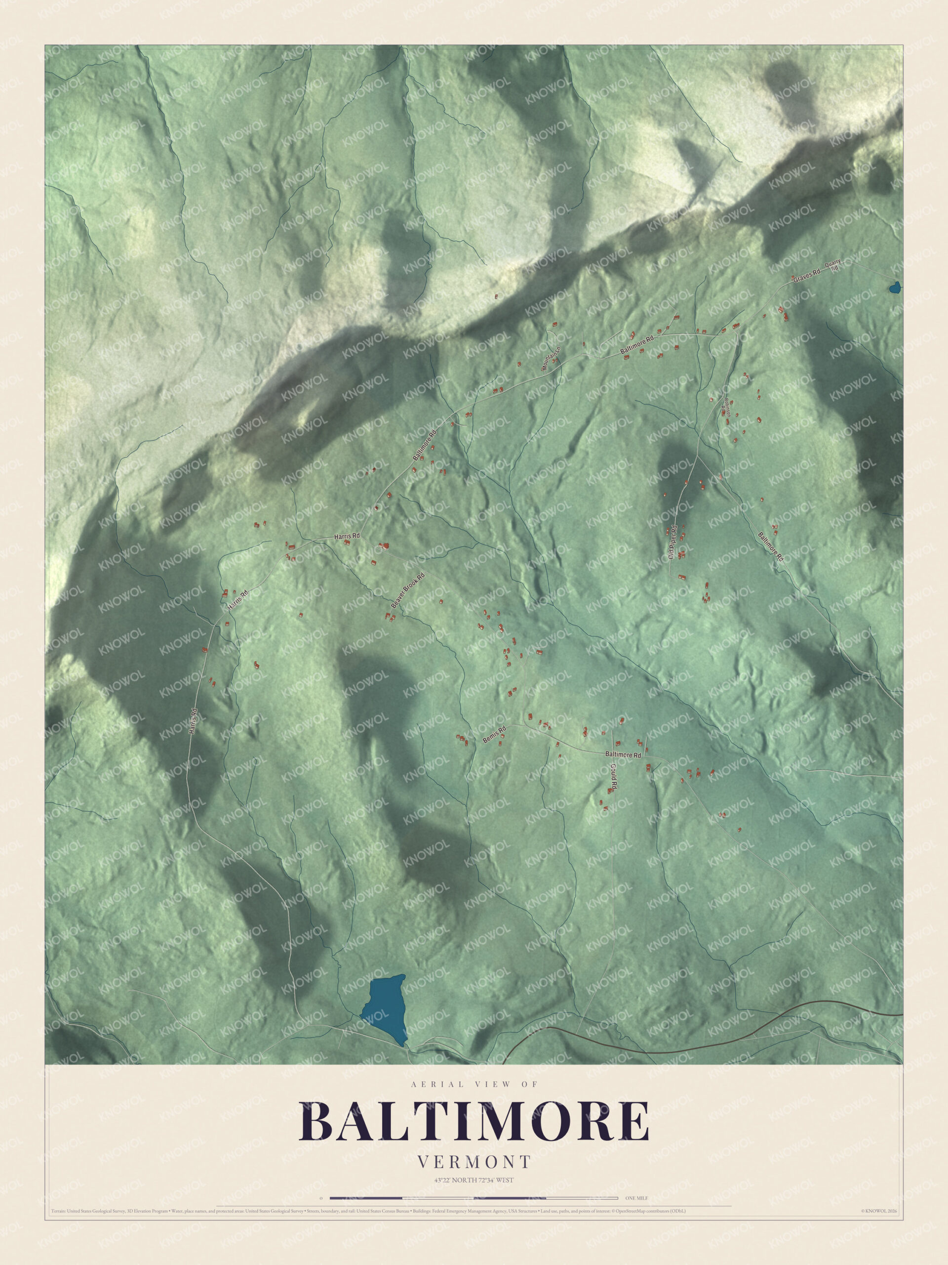
Click to explore a larger preview. The digital watermark does not appear on printed maps.
Names on this map
These names are printed on this map.
Streets and roads: Baltimore Road, Harris Road, Old Piper Road, Graves Road, Gould Road, Beaver Brook Road, Bemis Road, Mountain Lane, Quarry Road and Robinson Road.
See it on a wall
The Baltimore map as a framed print. Swipe for more.


Baltimore Road, Harris Road, Old Piper Road, Graves Road, Gould Road and Beaver Brook Road are all printed on the map, and every other road in town is drawn too. Hawks Mountain runs along the Cavendish border, the same mountain that made Baltimore a town of its own.
This Baltimore map is a fine addition to an office, library or den, and it can even help teach children the geography and history of a small town set off from Cavendish. It’s made for anyone who calls Baltimore home, from Baltimore Road to Beaver Brook Road. KNOWOL created it in 2026, and it’s printed on museum quality archival paper. Zoom in on the preview above to explore the details, then click here to get your copy of the Baltimore, Vermont map.

Sources