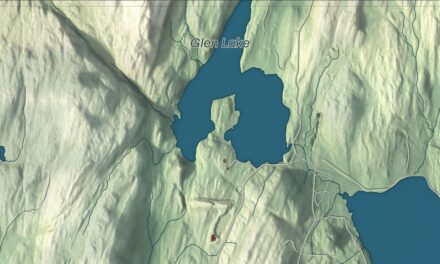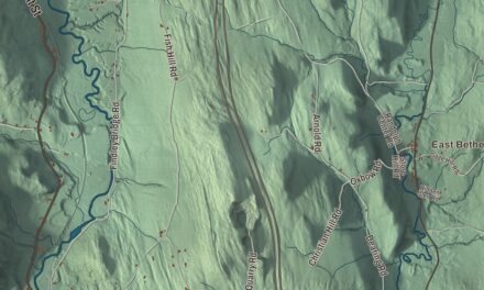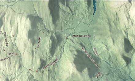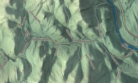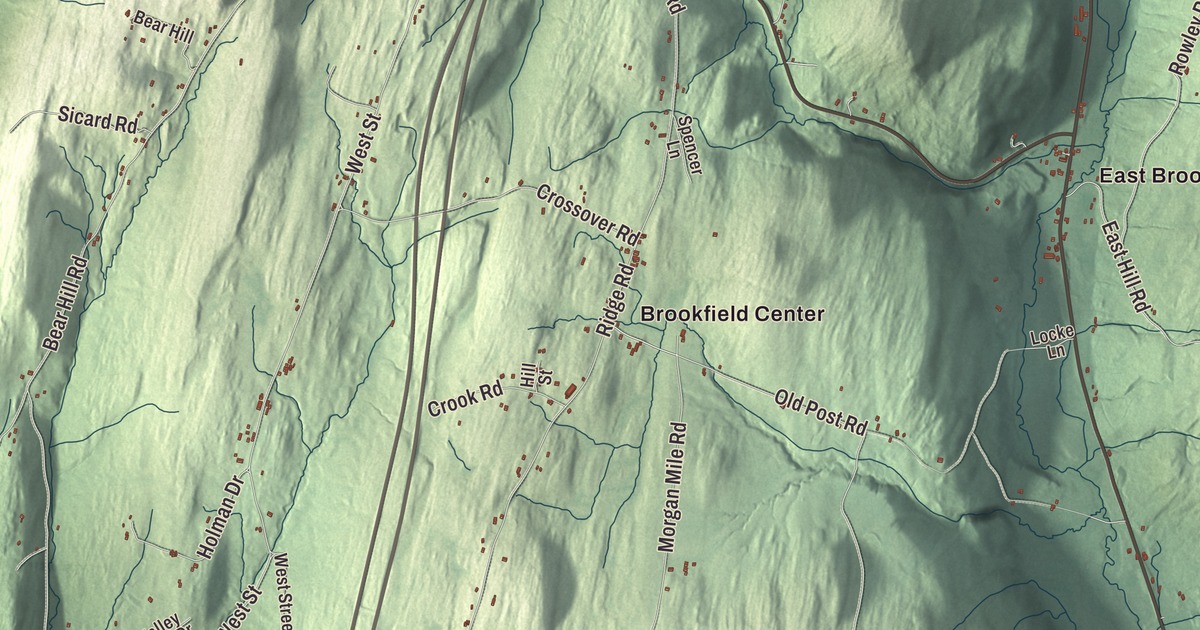
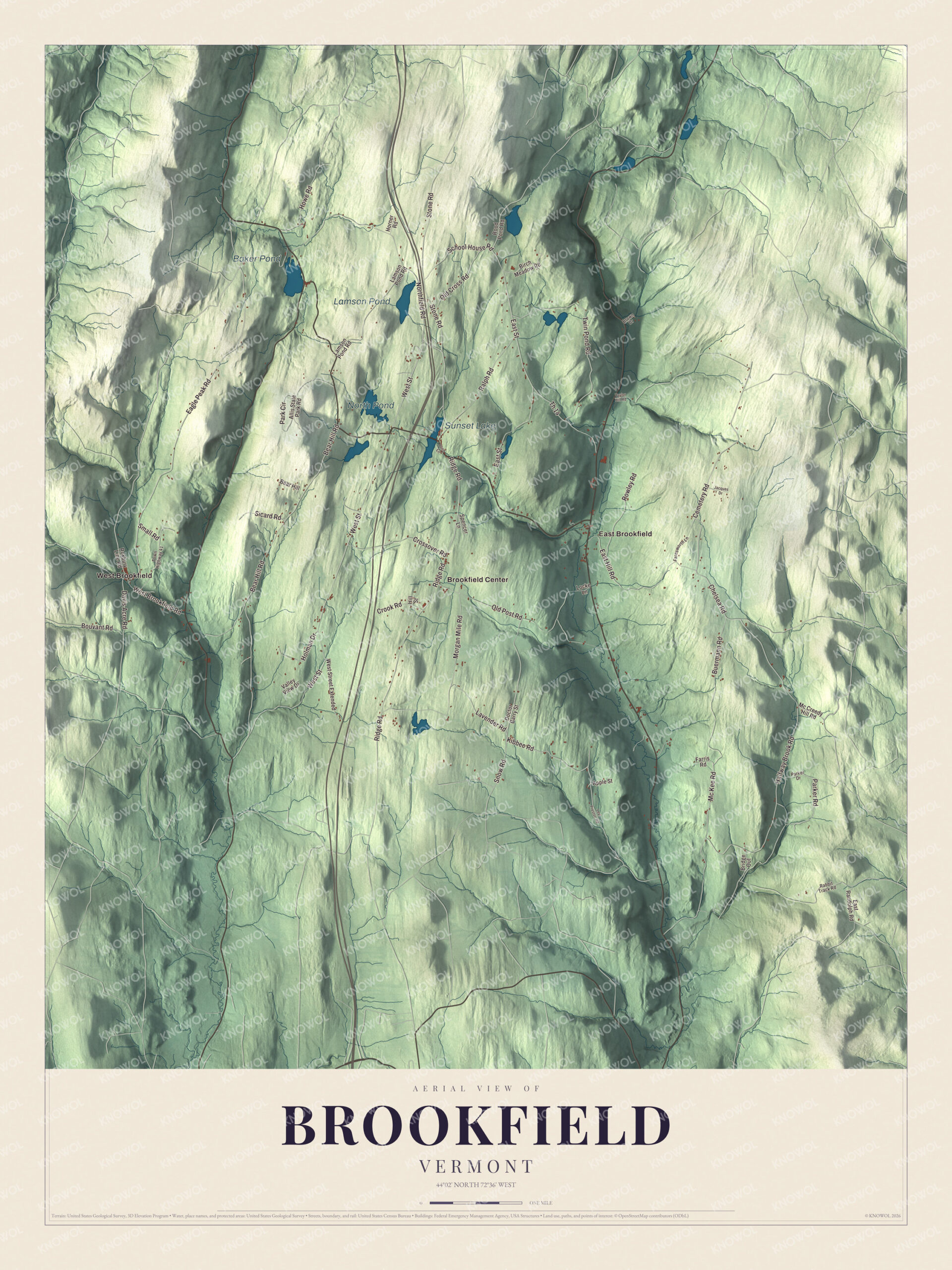
Ask anyone in Brookfield how to cross Sunset Lake and they’ll tell you to drive over the water, on the floating bridge. This map prints Sunset Lake with Baker Pond, North Pond and Lamson Pond, the villages of Brookfield Center, East Brookfield and West Brookfield, and West Street, Northfield Road, Kibbee Road, Cemetery Road, Buermann Road and Parker Road.
Brookfield is a town in Orange County, Vermont.
KNOWOL made this map in 2026. It starts from public survey data: the shaded hills come from United States Geological Survey elevation data, and the roads and the town line from the Census Bureau. The finished sheet has the look of an old atlas. Brookfield covers 41.7 square miles and had 1,244 people at the 2020 census. Click here to purchase a print of this map for your wall.
A bridge that floats
Brookfield is best known for the bridge that carries Vermont Route 65 across Sunset Lake on pontoons. The bridge page says it was built that way because the lake is too deep for ordinary pilings, as much as 120 feet by the state’s measure. Luther Adams and his neighbors built the first one, in 1820 by the town’s account, though the historic district’s record gives 1812. The town page calls it the only floating bridge east of the Mississippi River. The seventh bridge failed when the foam-filled barrels under it gave out, and it was closed and torn down in 2008. The eighth, on fiber-reinforced polymer pontoons, was finished in May 2015, and the town held a two-day celebration to open it, with Governor Peter Shumlin there and Norwich University cadets directing traffic. Every year the lake also hosts an ice harvesting festival.
The village grew up on the east shore of the lake, which was first called Colt’s Pond. The Brookfield Village Historic District, listed in 1974, covers 450 acres there, along Ridge Road and Shore Road, and reaches west across the water as far as Interstate 89 to take in the open views. Ridge Road was a main stagecoach route between Montpelier and Randolph in the 19th century. Its main roads are still unpaved and shaded by tall trees. The district includes the First Congregational Church, built in 1843, the three-story former town hall, and, near the south end of the village, the remains of a fork factory that ran on Sunset Brook where it leaves the lake. Brookfield also says its library, which dates back to 1791, is the oldest continually operating library in Vermont.
Charter and townspeople
Vermont granted the town on August 5, 1781, and it organized on March 18, 1785. Orange Scott was born here in 1800, the eldest of eight children in a poor family. He became a Methodist circuit rider, published an argument against slavery in 1834, and in 1843 presided over the convention that founded the Wesleyan Methodist Connexion. Cassius Peck joined the 1st United States Sharpshooters at Brookfield in 1861, earned the Medal of Honor for leading a small party that captured a Confederate battery, and later represented Brookfield in the Vermont House. The painter and curator Ruel P. Tolman was born here in 1878. The New Yorker cartoonist Ed Koren lived in Brookfield, served as captain of its volunteer fire department, and died in town in 2023.
Click to explore a larger preview. The digital watermark does not appear on printed maps.
Names on this map
These names are printed on this map.
Places: Baker Pond, North Pond, Lamson Pond, Sunset Lake, Brookfield Center, East Brookfield and West Brookfield.
Streets and roads: West Street, Northfield Road, Kibbee Road, Cemetery Road, Buermann Road, Parker Road, Bouvant Road, East Street, Snow Road, Mc Kee Road, Lavender Road, Eagle Peak Road.
More street names, A to Z
Allis State Park Road, Apple Street, Bear Hill, Bear Hill Road, Birch Meadow Road, Bridge Out, Brown Drive, Chelsea Road, Crook Road, Crossover Road, Davis Acre Road, Doctor Barry Street, East Hill Road, East Randolph Road, Farnsworth Lane, Farris Road, Halfway Brook Road, Hill Street, Holman Drive, Horner Road, Howe Road, Jacques Drive, Lamson Pond Road, Levi Preston Road, Locke Lane, Mc Creedy Hill Road, Morgan Mile Road, Old Cross Road, Old Post Road, Park Circle, Parker Drive, Pond Lane, Rabbit Track Road, Ralph Road, Ridge Road, Rood Pond Road, Rowley Road, Roxbury Line Road, School House Road, Sicard Road, Small Road, Spencer Lane, Stone Road, Taylor Hill Road, Th 14, Town Highway 41, Twin Pond Road, Valley View Drive, West Brookfield Road, West Street Extended.
See it on a wall
The Brookfield map as a framed print. Swipe for more.


Around the town
In western Brookfield, Allis State Park covers 625 acres of upland on Bear Hill. Wallace S. Allis left his Bear Mountain Farm to the state for a campground, and when the park was established in 1928 it was the second state park created in Vermont. The Civilian Conservation Corps built its roads, picnic shelter and campground beginning in 1932, and a lookout tower stands on the summit of Bear Hill. The park road leaves from Bear Hill Road, which is Route 65 and one of the last state highways in Vermont still kept as a gravel road. Brookfield Center, East Brookfield and West Brookfield are printed on the map, with Baker Pond, North Pond and Lamson Pond and the town’s roads, among them Northfield Road, Kibbee Road, Cemetery Road, Buermann Road and Parker Road.
This map of Brookfield would make a fine addition to an office, library or den, and it can even help teach children the geography and history of a lake town in the Orange County hills. It’s made for people who call Brookfield home and shows the town as it looks today, from Sunset Lake to Allis State Park. KNOWOL created it in 2026, and it’s printed on museum quality archival paper. Zoom in on the preview above to explore the details, then click here to get your copy of the Brookfield, Vermont map.

Sources
- Brookfield, Vermont, Wikipedia
- Sunset Lake Floating Bridge, Wikipedia
- Brookfield Village Historic District, Wikipedia
- Allis State Park, Wikipedia
- Orange Scott, Wikipedia
- Cassius Peck, Wikipedia
- Ruel P. Tolman, Wikipedia
- Ed Koren, Wikipedia
- Town histories and representatives, B towns, Vermont Legislature