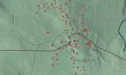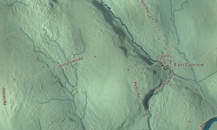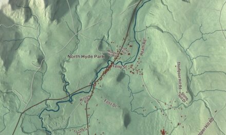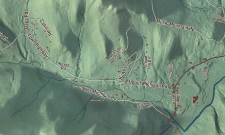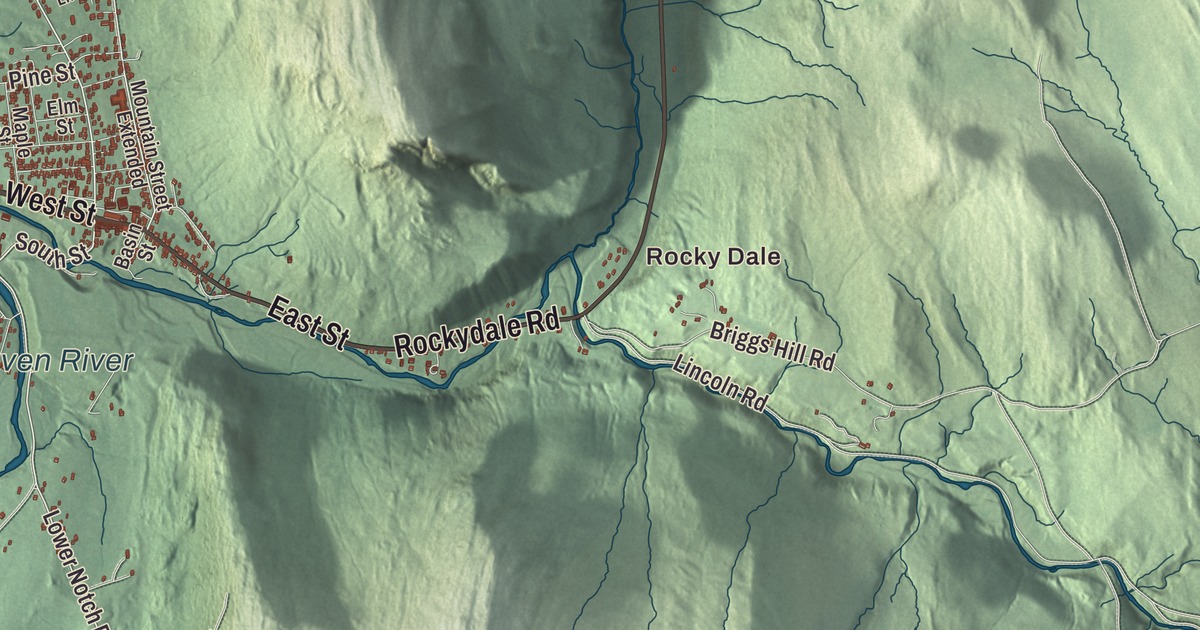
In Bristol village, Main Street runs east from the four corners where North, South and West streets meet, just north of the New Haven River. This map prints the New Haven River, Bristol Pond, Gilmore Pond and North Pond, Rocky Dale, and West Street, East Street, Stony Hill Road, Drake Woods Road, Rockydale Road and Burpee Road.
Bristol is in northeastern Addison County, at the western foot of the Green Mountains.
The map was made by KNOWOL in 2026 from public survey data, drawn in the manner of an old county atlas. Shaded relief from United States Geological Survey elevation data gives the hills their shape, and the roads and the town line come from the Census Bureau. Vermont Route 17 crosses the town east and west and Route 116 north and south. Bristol had 3,782 people at the 2020 census. Click here to purchase a print of this map for your wall.
Pocock becomes Bristol
New Hampshire’s governor, Benning Wentworth, chartered the town on June 26, 1762, to Samuel Averill and 63 others. He named it Pocock, after an English admiral of that name. Settlers arrived in the 1780s, the town organized on March 2, 1789, and that October 21 the name was changed to Bristol. Until the Civil War Bristol was mostly a farm town, and the village center was where farmers came to sell their goods and bring their logs and grain to the sawmills and gristmills.
That changed in 1862, when a factory went up on the New Haven River just southwest of the center to turn out wood products. It soon switched to making coffins, and by the early 20th century the works had become one of the country’s leading suppliers of them, along with many other things made of wood. Those businesses faded after the First World War, but the 1924 Kilburn Mill still stands behind the south side of Main Street, one of the last of the town’s old factories.
Main Street
The Bristol Downtown Historic District, listed in 1983, is one long block of Main Street, which is Vermont Route 116 through the village. It starts at the junction with North, South and West streets, where the town hall stands on the southwest corner, and runs east past more than a dozen brick commercial buildings of the late 19th and early 20th centuries, two and three stories tall. Most of the north side is one building, the Union Block, with seven storefronts. Main Street still holds most of the town’s businesses. When the 1988 film The Wizard of Loneliness, a World War II story starring Lukas Haas, Lea Thompson and Dylan Baker, was shot in Bristol, the crew put up period street lights on Main Street, and they’re still there. Out on Routes 17 and 116 stands Bristol Rock, better known as the Lord’s Prayer Rock, commissioned by a local physician, Joseph C. Greene.
Beverly Red started Freemountain Toys in her Burlington home in 1975, and the company ended up in an old gristmill in Bristol, renamed the Vegimill. Its Vegimals were stuffed vegetables and fruits with embroidered faces, and the favorite was a set of peas in a zippered pod. As many as 140 local women sewed them, along with a staff of ten at the mill. The peas lived on as the Peas in a Pod in Toy Story 3.
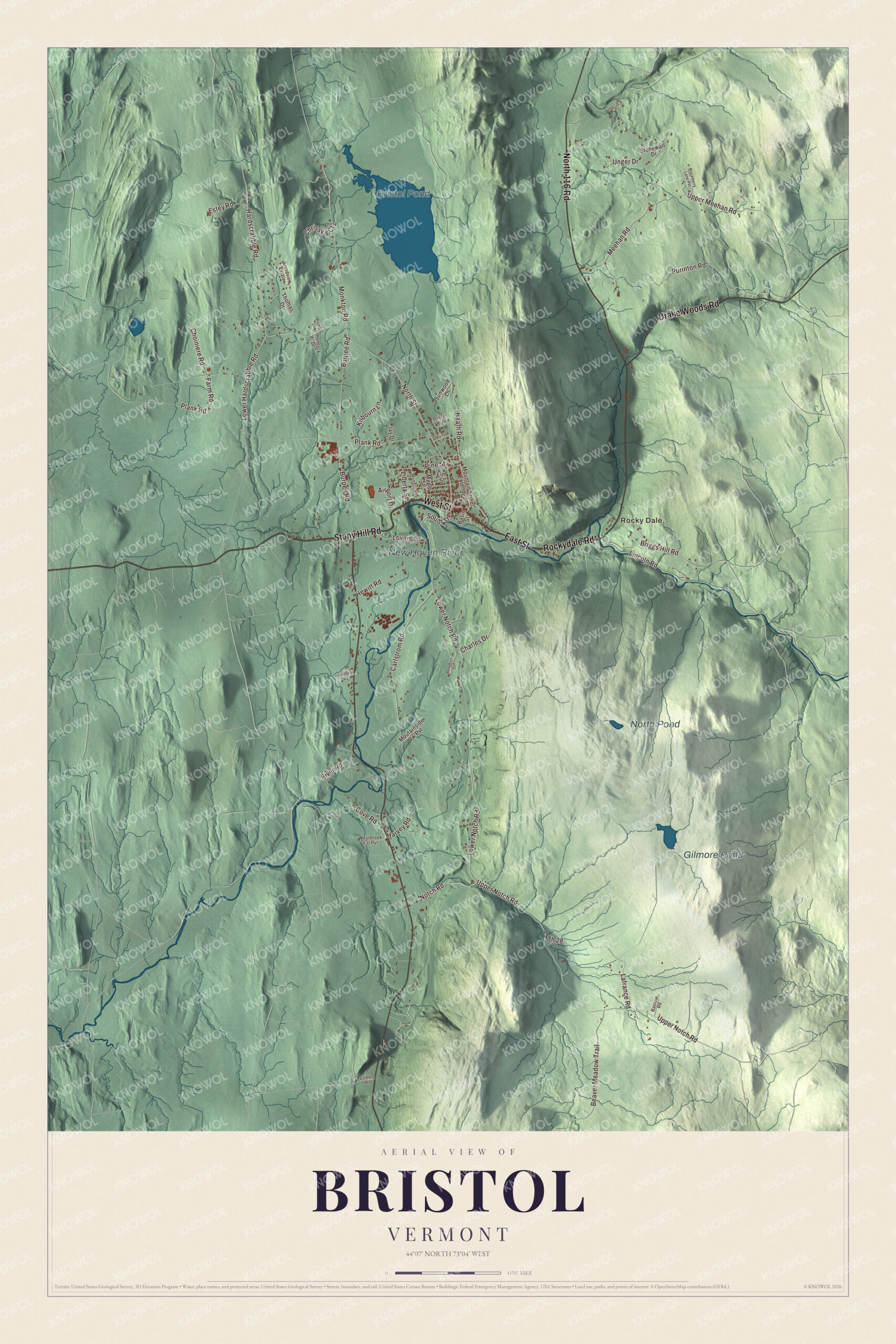
Click to explore a larger preview. The digital watermark does not appear on printed maps.
Names on this map
These names are printed on this map.
Places: Rocky Dale, Bristol Pond, Gilmore Pond, North Pond and New Haven River.
Streets and roads: West Street, Stony Hill Road, North 116 Road, Drake Woods Road, Rockydale Road, East Street, Burpee Road, North Street, Monkton Road, South Street, Lower Notch Road, Purinton Road.
More street names, A to Z
Airport Drive, Basin Street, Baslow Road, Beaver Meadow Trail, Benedict Drive, Blackberry Lane Pvt, Briggs Hill Road, Broadview Estate, Carlstrom Road, Charles Drive, Choiniere Road, Chrissy's Court, Cobble Road, Cove Road, Devino Lane, Doctor Way, Elm Street, Estey Road, Farm Road, Hardscrabble Road, Harvey Road, Heath Road, Hemlock Drive, Hewitt Road, Ireland Road, Jay Drive, Kilbourn Lane, Lafrance Road, Liberty Street, Lincoln Road, Lovers Lane, Lower Hardscrabble Road, Maple Street, Meehan Road, Mountain Street Extended, Moutainside Vw Pvt, Munsill Avenue, Notch Road, Picnic Lane, Pine Street, Plank Road, River Road, Stetson Road, Stonewall Drive, Sunwood Lane, Th 28, Thomas Drive, Unger Drive, Upper Meehan Road, Upper Notch Road, Westbrook Est Pvt.
See it on a wall
The Bristol map as a framed print. Swipe for more.


River, ponds and cliffs
The New Haven River, a branch of Otter Creek, flows out of the mountains right through the town center, and the village sits on its north side, northwest of the middle of town. Bristol Pond, Gilmore Pond and North Pond are printed on the map too, along with Rocky Dale, Rockydale Road, Stony Hill Road, Drake Woods Road and Burpee Road.
The Bristol Cliffs Wilderness, near Lincoln in the Green Mountain National Forest, was created by Congress in 1975, and it took in private land that owners said had been wrongly seized. That September a U.S. Senate subcommittee held a hearing in Bristol to take testimony on a bill to fix it, and the law that passed in 1976 shrank the wilderness, in effect returning the land to the local owners. Its page calls this the first and only time in U.S. history that a wilderness area was made smaller. Bristol’s own people include Ezra Butler Eddy, born near the town in 1827, who grew up helping in his father’s hotel in the village and went on to found the E. B. Eddy Company in Canada, which made matches and grew into a major manufacturer, and to serve as mayor of Hull, Quebec.
Hang this map of Bristol in an office, library or den, or use it to teach children the geography and history of a mill town at the foot of the mountains. It’s made for everyone who calls Bristol home, and it shows the town as it looks today, from Main Street to Rocky Dale. KNOWOL created it in 2026, and it’s printed on museum quality archival paper. Zoom in on the preview above to explore the details, then click here to get your copy of the Bristol, Vermont map.

Sources