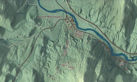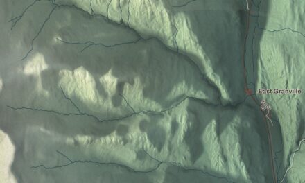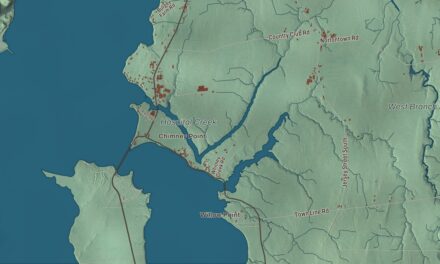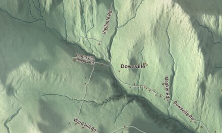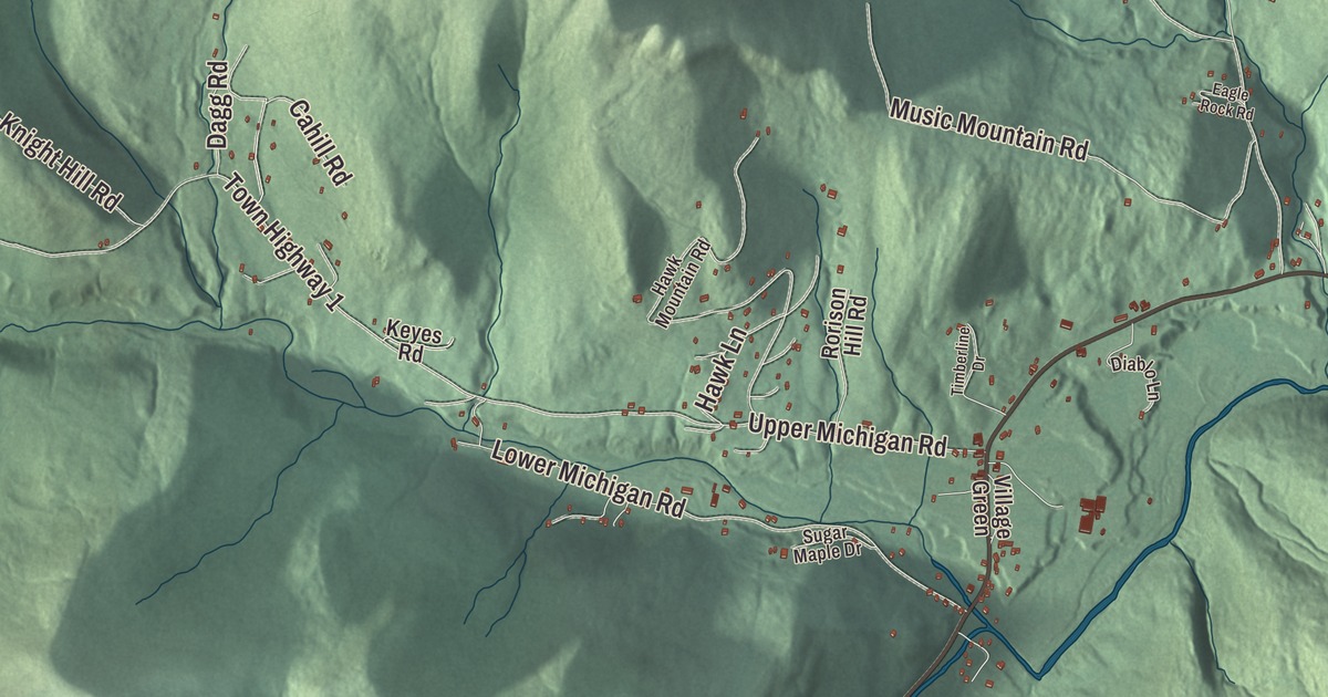
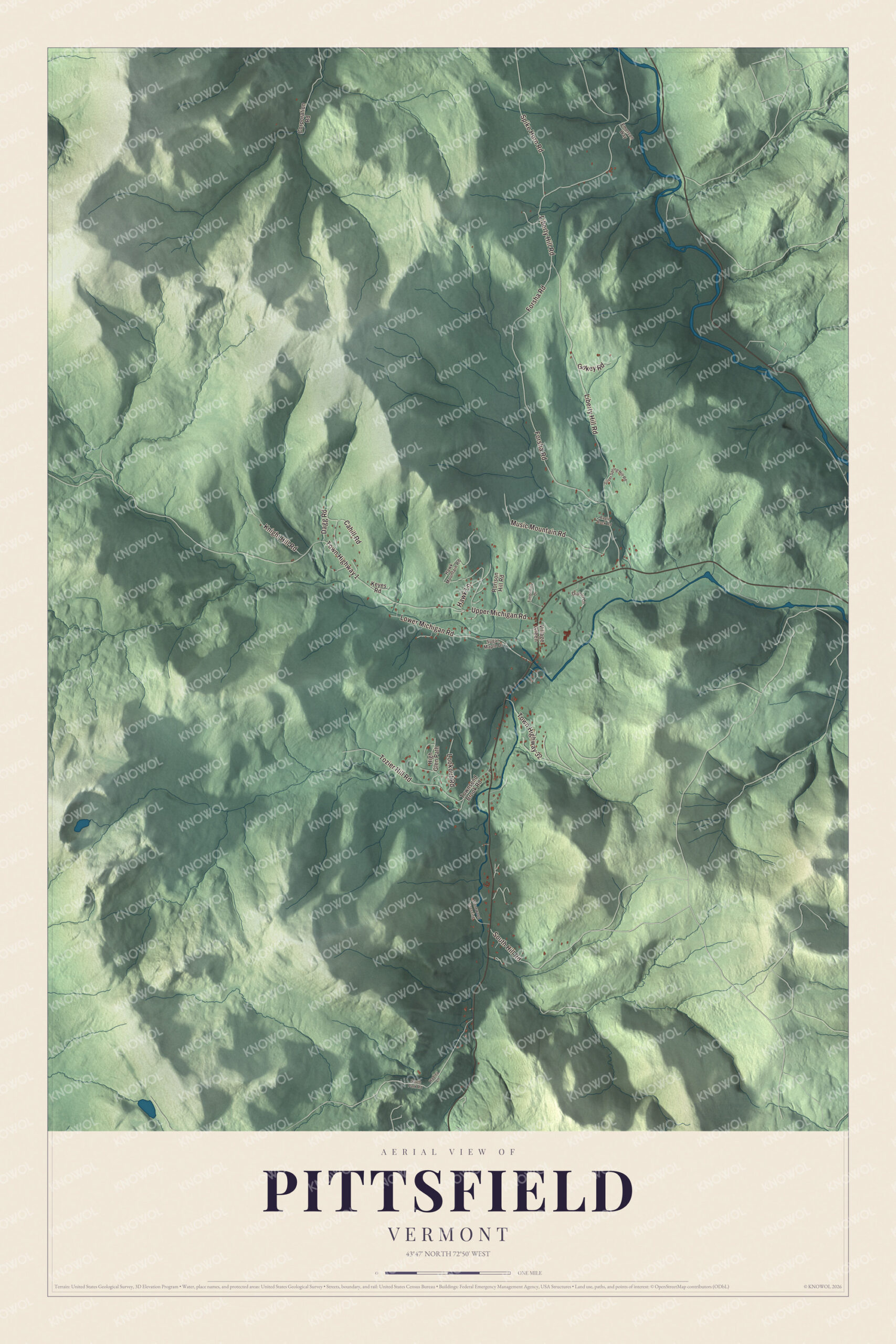
If you know Pittsfield, you know a small town set among the Green Mountains, with the Tweed River draining it and Route 100 crossing it. This map prints Liberty Hill Road, Upper Michigan Road, Lower Michigan Road, Music Mountain Road, Spike Horn Road and Forsha Road.
Pittsfield is a town in Rutland County, Vermont.
KNOWOL made this map in 2026 from public survey data and gave it the look of an old county atlas, shading the mountains from United States Geological Survey elevation data and drawing the roads and town line from the Census Bureau. The town covers 20.0 square miles, all of it land, and 504 people lived here at the 2020 census. Click here to purchase a print of this map for your wall.
A Vermont grant in the mountains
Vermont granted Pittsfield on November 8, 1780, and chartered it on July 29, 1781, to Samuel Wilcox and 129 others. The name came from Pittsfield, Massachusetts, which had been named for the British statesman William Pitt. The first settlers arrived in 1786, the town organized on March 26, 1793, and Thomas Hodgkins was its first representative in the legislature, in 1796. Its mountain land proved good for grazing livestock, and 19th-century humorists liked to say that Pittsfield invented the one-legged milking stool “as a means of conquering a stern difficulty.”
Set among the Green Mountains, the town drains to the Tweed River, which flows on to the White River, and Route 100 runs through it. A farmhouse shown on a 1915 postcard still stands; in 1960 it became the Fleur De Lis Lodge for travelers and skiers, with six rooms in the old house and seven more added above a great room.
Click to explore a larger preview. The digital watermark does not appear on printed maps.
Names on this map
These names are printed on this map.
Streets and roads: Liberty Hill Road, Forsha Road, Upper Michigan Road, Music Mountain Road, Lower Michigan Road, Spike Horn Road, Town Highway 1, Tozier Hill Road, South Hill Road, Town Highway 32, Knight Hill Road, Lookout Road.
More street names, A to Z
Cahill Road, Corporation Road, Dagg Road, Diablo Lane, Eagle Rock Road, Emerson Way, Gokey Road, Hadley Lane, Hawk Lane, Hawk Mountain Road, High Glen Path, Keyes Road, Rorison Hill Road, Silver Spring Hill Road, South Park Road, Stonewood Crossing, Sugar Maple Drive, Timberline Drive, Townsend Brook Road, Village Green.
See it on a wall
The Pittsfield map as a framed print. Swipe for more.


Pittsfield people
Isabel Colton, who wrote as Belle C. Greene, was born in Pittsfield on March 17, 1842. She began writing in earnest in 1881, sold humorous sketches to Godey’s Lady’s Book, and her collection Adventures of an Old Maid sold more than 75,000 copies; she also wrote the novel A New England Conscience and humorous sketches of the boom years for the newspapers during a long stay in southern California. Charles Herbert Joyce, who came to Vermont from England as a boy, served as a Union officer with the Second Vermont Volunteers, as speaker of the Vermont House and as a congressman from 1875 to 1883, and he lived in Pittsfield until his death in 1916. The ski racer Chelsea Marshall, named to the United States Olympic team for the 2010 Winter Games, grew up here, according to the town’s page.
Joe De Sena moved his family here to run a farm, a bed and breakfast and a general store for hikers, and he co-founded the Death Race, whose first edition, in 2007, had eight competitors and three finishers. The race is still held at his farm. In 2009 he founded Spartan as a less strenuous obstacle course race, and Spartan’s Agoge event is held twice a year at the farm in Pittsfield, in summer and in winter.
On the map, start with Liberty Hill Road, then follow Forsha Road, Upper Michigan Road, Music Mountain Road, Lower Michigan Road and Spike Horn Road across town; each of those roads is printed on the map. Pittsfield dates to 1781.
This map of Pittsfield is made for everyone who calls Pittsfield home, and it shows the town as it looks today, from Liberty Hill Road to Spike Horn Road. Hang it in an office, library or den, or use it to teach children the geography and history of their town. It’s printed on museum quality archival paper. Zoom in on the preview above to explore the details, then click here to get your copy of the Pittsfield, Vermont map.

Sources