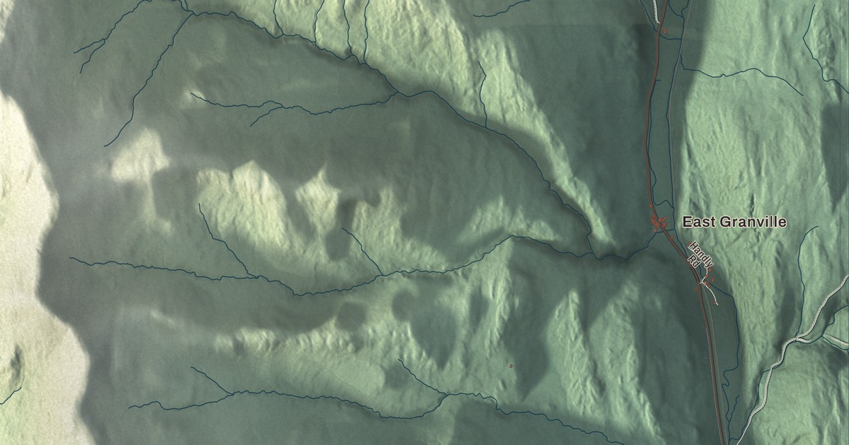
Granville sits high in the Green Mountains, where the White River starts south and the Mad River starts north, and only 301 people lived here at the 2020 census. This map prints East Granville and Lower Granville, along with North Hollow Road, Town Line Road, Maston Hill Road, Kennedy Road, West Hill Road and Rose Road.
Granville is a town in Addison County, Vermont.
KNOWOL made this map in 2026 from public survey data and gave it the look of an old county atlas, shading the ridges from United States Geological Survey elevation data and drawing the roads and town line from the Census Bureau. Granville fills the eastern corner of Addison County, with Braintree Ridge rising on the east and the main crest of the Green Mountains on the west. Click here to purchase a print of this map for your wall.
Kingston first, then Granville
The Vermont Legislature’s town records give the outline. Vermont granted the land on November 7, 1780, and chartered it on August 2, 1781, under the name Kingston. The town organized on July 8, 1788, and took the name Granville in the 1830s; the Legislature’s list dates the change to November 6, 1834, while the town’s Wikipedia page gives 1833. The same record notes that Granville belonged to Orange County until 1878. Joel Rice, born in 1765, was the town’s first listed representative, in 1807, and he served several more terms in the years that followed.
Vermont Route 100 runs north and south through the town. To the north it climbs through the Granville Gulf, the high ground between the headwaters of the White River and the Mad River. Route 100 is the longest numbered highway in Vermont, running more than 216 miles from the Massachusetts line to Newport. In the western part of town, the Long Trail crosses a corner of Granville over the summit of Little Hans Peak, at 3,348 feet. The Green Mountain Club built that trail between 1910 and 1930, and its page calls it the oldest long-distance trail in the United States.
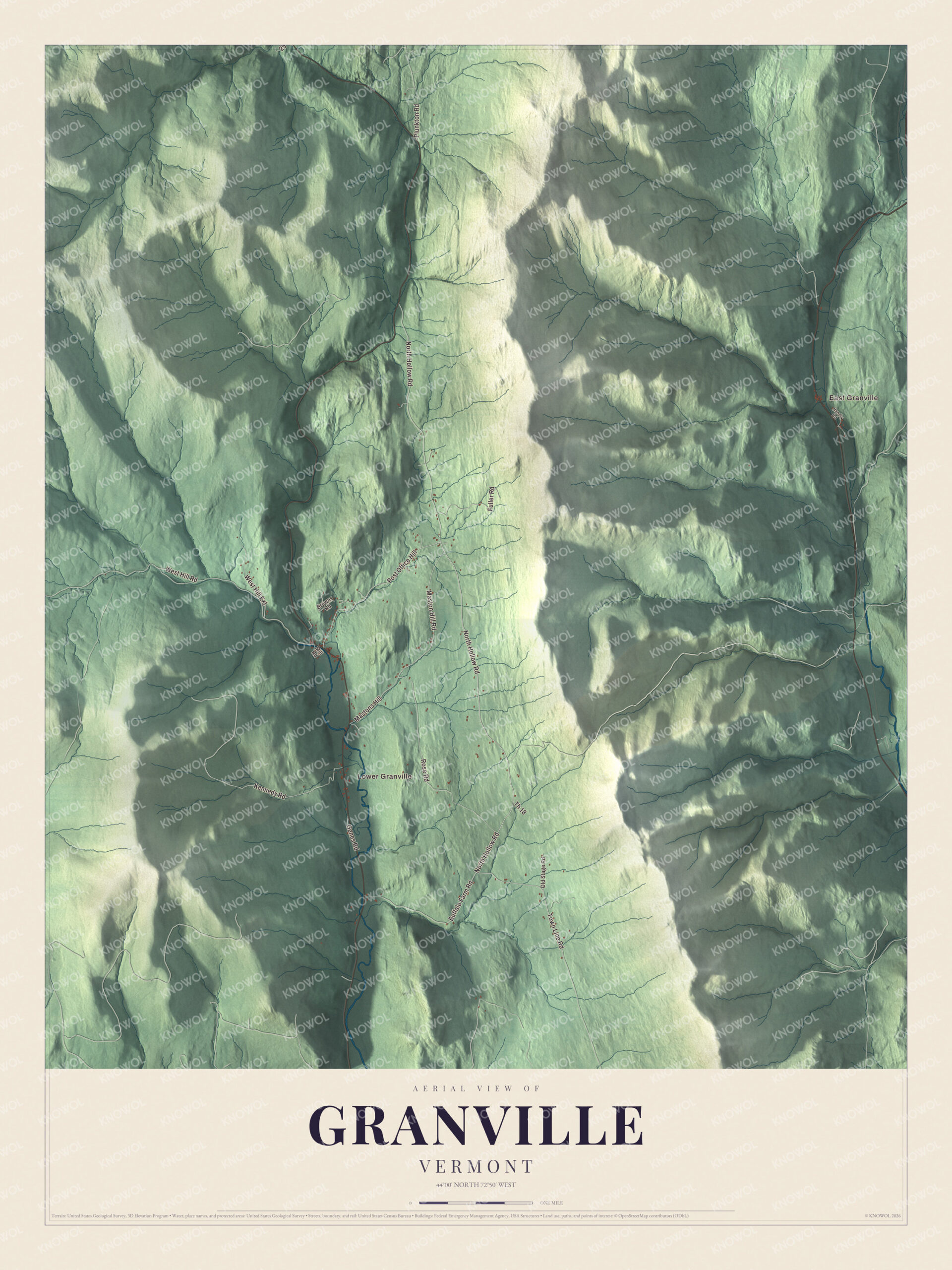
Click to explore a larger preview. The digital watermark does not appear on printed maps.
Names on this map
These names are printed on this map.
Places: East Granville and Lower Granville.
Streets and roads: North Hollow Road, Post Office Hill, Town Line Road, Maston Hill Road, Kennedy Road, West Hill Road, Rose Road, Buffalo Farm Road, West Hill Extension, Fuller Road, Mastons Hill, Plunkton Road.
More street names, A to Z
Browns Road, Genes Road, Handly Road, Mill Road, Old Stage Road, Th 18.
See it on a wall
The Granville map as a framed print. Swipe for more.


Two sides of town
Granville’s historic village center lies about a mile north of the town hall and town clerk’s office in Lower Granville. East Granville stands apart. The town page notes that no road links the eastern part of town directly to the main settlement, or to anywhere else in Addison County. Instead, Vermont Route 12A runs north and south through that side of Granville, connecting Roxbury in Washington County with Braintree in Orange County.
On the map, start at Lower Granville and follow North Hollow Road and West Hill Road, then trace Maston Hill Road, Kennedy Road and Rose Road. Town Line Road and East Granville are printed too. Granville dates to 1781.
This map of Granville is made for everyone who calls Granville home, and it shows the town as it looks today, from Lower Granville to East Granville. Hang it in an office, library or den, or use it to teach children the geography and history of their town. It’s printed on museum quality archival paper. Zoom in on the preview above to explore the details, then click here to get your copy of the Granville, Vermont map.

Sources