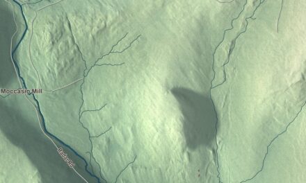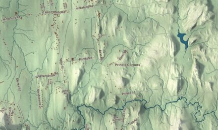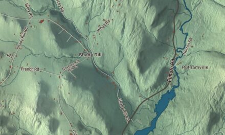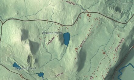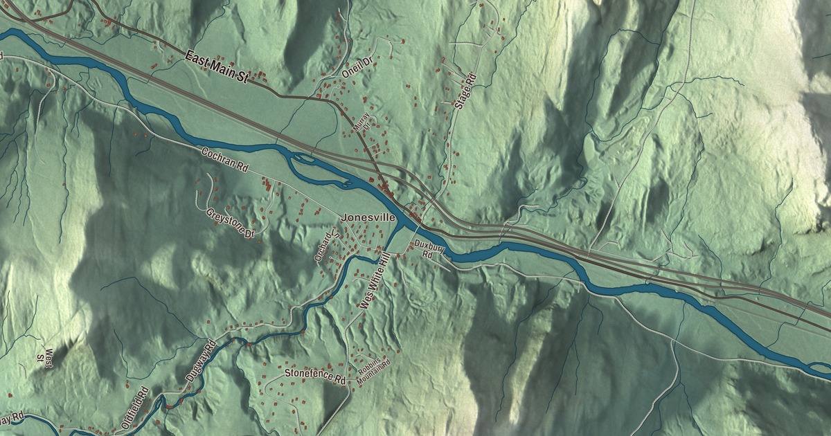
Richmond sits where the Winooski River cuts through the western foothills of the Green Mountains, with Route 2 running through the village as its Main Street. This map prints West Main Street, East Main Street, Bridge Street and Huntington Road, out to Jonesville, Fays Corner, Gillett Pond and Richmond Pond.
Richmond is a town in Chittenden County, Vermont.
KNOWOL made this map in 2026 from public survey data and gave it the look of an old county atlas, shading the hills from United States Geological Survey elevation data and drawing the roads and town line from the Census Bureau. The town covers 32.7 square miles, and 4,167 people lived here at the 2020 census, 853 of them in the main village. Click here to purchase a print of this map for your wall.
A town on the Winooski
Amos Brownson and John Chamberlain made the first try at settling here in 1775. They gave it up that fall and came back in the spring of 1784, once the Revolutionary War was over. The General Assembly incorporated Richmond on October 27, 1794, out of parts of Jericho, Williston and Huntington, and the town organized the next March; Matthew Cole was its first representative in the legislature, in 1795. The Winooski and the Huntington River both gave sites for water mills, and Richmond’s shops turned out wagons, harnesses, tinware, brass, cabinet work and woodenware. By 1859, 1,453 people lived in town.
The river itself was long called the Onion River. That byname came into general use in the late 1700s and early 1800s, after Ira and Ethan Allen set up the Onion River Land Company, and the name Winooski comes from an Abenaki word meaning “at wild onion land,” for the wild onions and leeks that once grew along its banks.
The Round Church
The Round Church stands on Round Church Road beside the town green, a short way south of the Winooski and the village center. William Rhodes of Claremont, New Hampshire, built it in 1812 and 1813 as a meeting place for the town and for five Protestant congregations, paid for by the sale of pews, most of them to Congregationalists. It has sixteen sides, two stories of wooden clapboards and a two-stage octagonal belltower at the center of its roof, and it’s likely the only remaining example of its kind in North America. The Baptists folded in 1843, the Congregationalists moved out in 1850, the Universalists built their own church in 1879, and the Methodists apparently stopped using it in the 1880s, but the town held meetings there until 1973. Three years later the town gave the building to the Richmond Historical Society, which restored it in 1980 and 1981 and opens it to the public in summer and early fall. It was named a National Historic Landmark in 1996 for the rarity of its form and how well it has been kept.
The village changed quickly in 1900. Hoping to bring a business to town, the people of Richmond offered financial inducements, and the Richmond Underwear Company built a two-story factory in a former apple orchard on Millet Street, just off West Main Street, in seven months. It was the first building in town with steam heat and electric power, it employed 300 people, and it became one of Vermont’s largest makers of underwear, running until 1946. It brought an influx of workers and a building boom that quickly reshaped the town. The Richmond Congregational Church went up in 1903 and 1904 at the corner of Church and Bridge Streets, designed by the Burlington architect Walter R. B. Willcox.
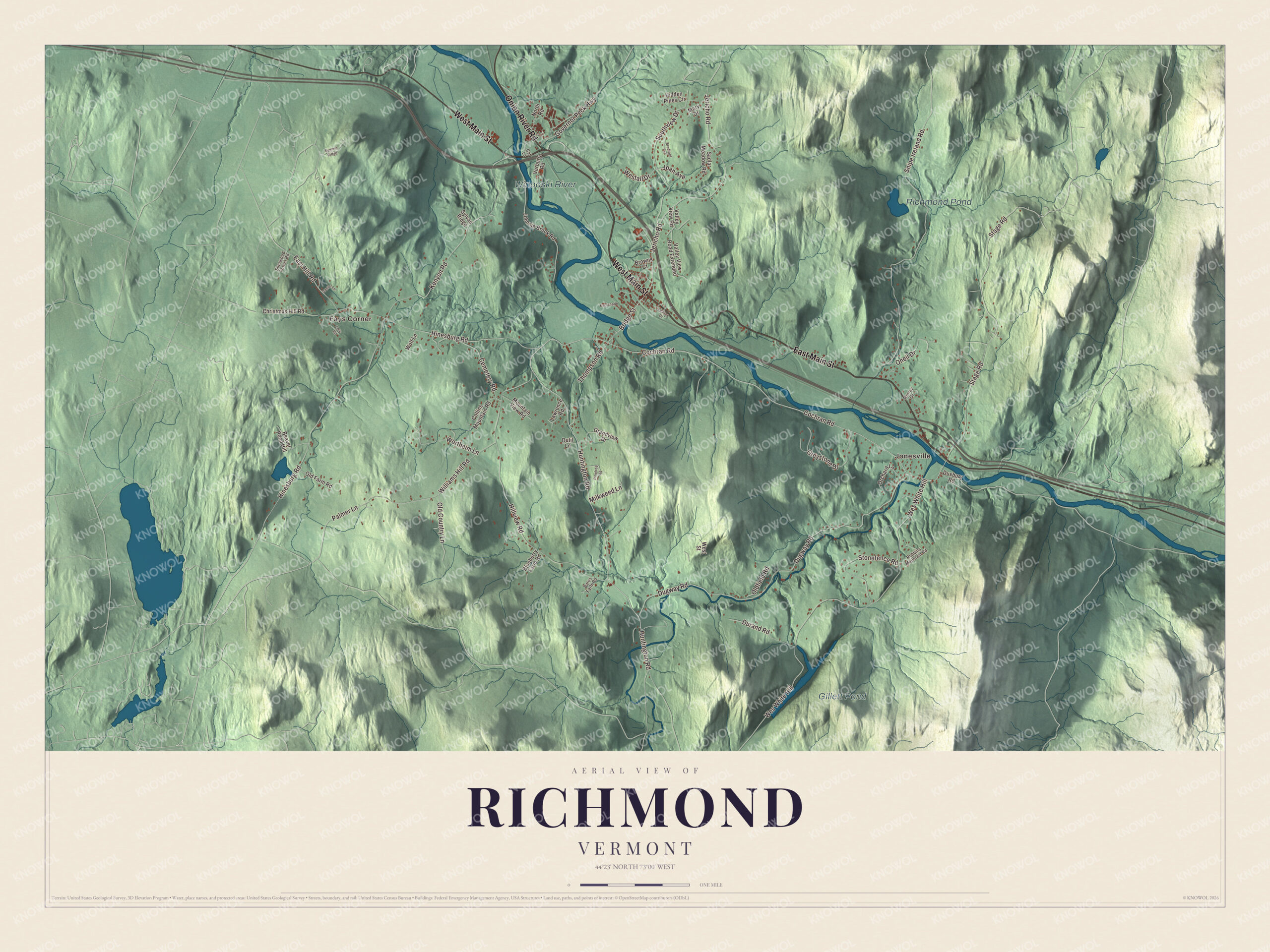
Click to explore a larger preview. The digital watermark does not appear on printed maps.
Names on this map
These names are printed on this map.
Places: Jonesville, Fays Corner, Gillett Pond, Richmond Pond and Winooski River.
Streets and roads: West Main Street, East Main Street, Onion River Road, Huntington Road, Bridge Street, Cochran Road, Jericho Road, Hinesburg Road, Dugway Road, Wes White Hill, Stage Road, Snipe Ireland Road.
More street names, A to Z
Bates Farm Road, Beaver Pond Hill, Blueberry Farm Road, Bradford Terrace, Browns Court, Cat Lane, Cemetery Road, Christmas Hill Road, Collins Mountain Road, Cote Road, Daniel Lane, Durand Road, Dutil Lane, Duxbury Road, East Hill Road, Esplanade, Governor Peck Highway, Grandview Drive, Greystone Drive, Hidden Pines Circle, Hillview Road, Joan Avenue, Johnnie Brook Road, Kenyon Road, Lawrence Road, Lemroy Court, Mary Drive, Milkweed Lane, Mountain View Road, Murray Drive, North Road, Old Country Lane, Old Farm Road, Oldfield Road, Oneil Drive, Orchard Lane, Palmer Lane, Pinetree Road, Robbins Mountain Road, Sadlar Meadow Road, Sherwood Forest Road, Southview Drive, Stonefence Road, Summit Ridge, Sylvan Ridge, Thompson Road, Valley View Road, Valley View Road Extended, Verburg Road, Westall Drive, West Street, Williams Hill Road, Wolf Lane, Wortheim Lane.
See it on a wall
The Richmond map as a framed print. Swipe for more.


Richmond people
George F. Edmunds was born in Richmond and went on to represent Vermont in the United States Senate from 1866 to 1891, serving as the Senate’s president pro tempore from 1883 to 1885. His birthplace is a private farm on Route 2, now the M. S. Whitcomb Farm, identified by a Vermont Historic Sites Commission sign; its three-story bank barn with a monitor roof, built in 1901, is one of the only barns of its type in the state. George Dallas Sherman, also born here, joined the Richmond Cornet Band at fourteen and soon led it, then became one of the first leaders of what is now the Burlington Concert Band; John Philip Sousa used some of his marches on tour. Louis Greenough, born in Richmond in 1853, is credited with Harry Adams with building the first automobile in South Dakota.
In 1961 Mickey and Ginny Cochran built a small ski area on their hillside along the Winooski, and all four of their children trained there and made the United States Ski Team. Their daughter Barbara Ann Cochran won the gold medal in slalom at the 1972 Winter Olympics in Sapporo, Japan. Cochran’s Ski Area turned nonprofit in 1998, with a mission of affordable skiing, lessons and race training for area youths and families.
Around the map
Route 2 crosses the Winooski in the western part of town on the Winooski River Bridge, known locally as the Checkered House Bridge. Built in 1929 after the 1927 flood, it’s one of only five Pennsylvania truss bridges in Vermont and the longest single span of the 1,600 bridges the state built in its three-year rebuilding program. East of the village, the Gray Rocks farm straddles Route 2 with a brick farmhouse; James Butler started farming there about 1800, the Rhodes family worked it for more than a century, and the Andrews family kept it going until 1978. To the south, the Martin M. Bates Farmstead sits on Huntington Road, farmed by the Bates family from 1793 until 1986. Drivers heading south on Interstate 89 get a view of Camel’s Hump around mile marker 80.2, as the highway comes down a 6 percent grade into Richmond.
On the map, start with Jonesville and Fays Corner, then follow West Main Street, East Main Street, Onion River Road, Huntington Road, Bridge Street and Cochran Road across town. Gillett Pond, Richmond Pond and the Winooski River are printed too. Richmond dates to 1794.
This map of Richmond is made for everyone who calls Richmond home, and it shows the town as it looks today, from Bridge Street and the Round Church to Jonesville and Huntington Road. Hang it in an office, library or den, or use it to teach children the geography and history of their town. It’s printed on museum quality archival paper. Zoom in on the preview above to explore the details, then click here to get your copy of the Richmond, Vermont map.

Sources
- Richmond, Vermont, Wikipedia
- Town histories and representatives, R towns, Vermont Legislature
- Richmond (CDP), Vermont, Wikipedia
- Winooski River, Wikipedia
- Round Church (Richmond, Vermont), Wikipedia
- Richmond Underwear Company Building, Wikipedia
- Richmond Congregational Church, Wikipedia
- George F. Edmunds, Wikipedia
- M. S. Whitcomb Farm, Wikipedia
- George Dallas Sherman, Wikipedia
- Louis Greenough, Wikipedia
- Cochran’s Ski Area, Wikipedia
- Barbara Ann Cochran, Wikipedia
- Winooski River Bridge, Wikipedia
- Gray Rocks (Richmond, Vermont), Wikipedia
- Martin M. Bates Farmstead, Wikipedia