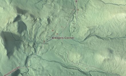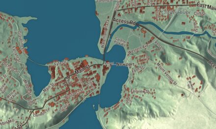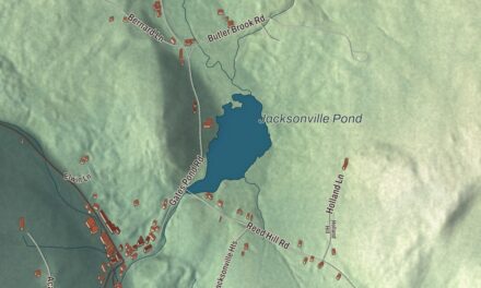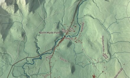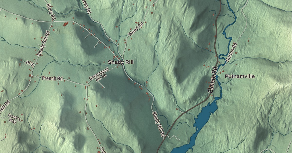
Middlesex reaches from the Winooski River, where its main village and town hall stand, out to its eastern border, where Putnamville sits on the North Branch above Wrightsville Reservoir. This map prints Elmore Road, Molly Supple Hill Road, McCullough Hill Road, French Road, Shady Rill Road and Wood Road, with Wrightsville, Shady Rill and Bear Swamp.
Middlesex is a town in Washington County, Vermont.
KNOWOL made this map in 2026 from public survey data and gave it the look of an old county atlas, shading the hills from United States Geological Survey elevation data and drawing the roads and town line from the Census Bureau. The town covers 39.9 square miles, and 1,779 people lived here at the 2020 census. Click here to purchase a print of this map for your wall.
Between Waterbury and Worcester
Benning Wentworth, the colonial governor of New Hampshire, granted Middlesex by royal charter on June 8, 1763, the same day as Worcester and a day after Waterbury was incorporated, and the town takes its bounds from those two neighbors. Nobody knows for sure where the name came from. One guess is that Wentworth or someone on his staff chose it for the town’s place between Waterbury and Worcester; another is that he hoped to win favor with Charles Sackville, who held the title Lord Middlesex until he became Duke of Dorset in 1765. The town stayed largely undeveloped through the years of the Vermont Republic, with settlement in the village and at Putnamville. It organized on March 29, 1790, and belonged to Chittenden County until Washington County was organized in 1811.
The Putnams were among the first families. Seth Putnam was elected the first town clerk in 1790, and his brothers Isaac and Jacob were chosen town surveyors. Samuel Harris was the town’s first representative in the legislature, in 1791, and Seth Putnam took the seat again and again between 1792 and 1816.
Villages on the river and the North Branch
Middlesex village, on the Winooski River, is the town’s chief settlement and the home of the town hall. It had a post office from 1821 to 1966. U.S. Route 2 crosses the Winooski northwest of the village on a bridge built in 2010, which replaced a 1928 steel truss put up after the 1927 flood had left the village cut off; the old truss was listed on the National Register of Historic Places in 1991. Middlesex Center sits near the middle of town, northwest of the Great Brook and Brook Road.
Out along the North Branch, a waterfall at Putnamville once turned grist and saw mills, and the post office that opened there in 1882 carried the odd spelling Putnamsville until it closed in 1935. Shady Rill is low, rolling ground where three brooks named for local families, Herrick, Martins and Patterson, meet the North Branch on its way south to Wrightsville and Montpelier. A Baptist church went up at Shady Rill in 1849.
Wrightsville, just south of Putnamville, was once a good-sized settlement with nearly 30 buildings and several mills. After the Great Flood of 1927, the Civilian Conservation Corps built the Wrightsville Dam from 1933 to 1935, and the village was given up for the reservoir behind it. Most of its houses, largely Greek Revival, were moved west up the hill, and in 1934 the North Branch Cemetery, 651 graves, was moved to Portal Road. Wrightsville Reservoir now sits where Middlesex, Montpelier and East Montpelier meet, a summer place for swimming, boating and fishing. The Shady Rill Recreation Area, north of the dam off Route 12, has picnic tables and a disc golf course beside Martins Brook, which people also call Shady Rill Brook.
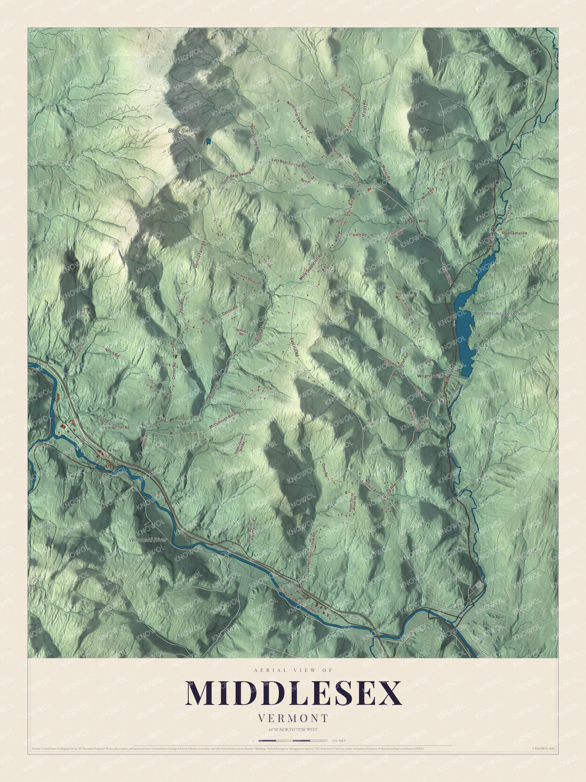
Click to explore a larger preview. The digital watermark does not appear on printed maps.
Names on this map
These names are printed on this map.
Places: Putnamville, Wrightsville, Wrightsville Reservoir, Bear Swamp, Winooski River and Shady Rill.
Streets and roads: Elmore Road, Molly Supple Hill Road, McCullough Hill Road, French Road, Shady Rill Road, Wood Road, Bear Swamp Road, Three Mile Bridge Road, East Hill Road, South Bear Swamp Road, West Hill Road, Center Road.
More street names, A to Z
Bolduc Road, Brook Road, Bushey Road, Chase Road, Colby Road, Cross Road, Culver Hill Road, Daniels Farm Road, Danna Road, Davy Road, Dolan Road, East Bear Swamp Road, Frank's Way, Gallagher Road, Garand Hill, Government Hill Road, Guilmette Road, Hemlock Road, High Meadow Lane, Knapp Road, Leland Farm Road, Lower Barnet Hill Road, Lower Sunnybrook Road, Macey Road, Mead Road, North Bear Swamp Road, Norton Road, Notch Road, Old Brook Road, Portal Road, Pr 2, Pr 5, Pr 12, Rich Road, Story Road, Tangletown Road, Upper Barnet Hill Road, Upper Sunny Brook Road, Warren Road, Windlea Drive, Zdon Road.
See it on a wall
The Middlesex map as a framed print. Swipe for more.


Tangletown and Beartown
Off Portal Road and Bolduc Road runs Tangletown Road, named for a stretch of woods so thick and so alike that settlers said they got “tangled up” in it. Bears stayed common here into the late 1800s, and a recorded story tells of a farmer between Middlesex Center and Bear Swamp who found a sheep killed by a bear and ended the day having shot three of them. The neighborhood took the nickname Beartown. Farming carried Middlesex through the 1800s and well into the 1900s, with dairy herds, sheep for wool, logging, orchards and maple sugaring. After World War II the town slowly became a home for people who worked elsewhere, mostly in Montpelier.
Middlesex people
Denise R. Johnson, who lives in Middlesex, was the first woman to serve on the Vermont Supreme Court. Governor Madeleine Kunin appointed her in 1990, and she sat on the court until 2011. Senator Patrick Leahy and his wife have lived in a farmhouse in Middlesex since moving from Burlington. George W. Bailey Jr. made his home here while he practiced law in Montpelier, and he served as Vermont’s Secretary of State from 1861 to 1865. The novelist David Carkeet, three of whose novels were named New York Times Book Review Notable Books of the Year, has lived in Middlesex since 2003, and Edson A. Putnam, born here in 1832, went on to serve in the Wisconsin State Assembly.
On the map, start at Putnamville and follow Elmore Road, Molly Supple Hill Road, McCullough Hill Road, French Road, Shady Rill Road and Wood Road. Wrightsville and Shady Rill are printed, and so are Wrightsville Reservoir, Bear Swamp and the Winooski River. Middlesex dates to 1763.
This map of Middlesex is made for everyone who calls Middlesex home, and it shows the town as it looks today, from the Winooski River to Wrightsville Reservoir. Hang it in an office, library or den, or use it to teach children the geography and history of their town. It’s printed on museum quality archival paper. Zoom in on the preview above to explore the details, then click here to get your copy of the Middlesex, Vermont map.

Sources
- Middlesex, Vermont, Wikipedia
- Town histories and representatives, M towns, Vermont Legislature
- Middlesex-Winooski River Bridge, Wikipedia
- Wrightsville Reservoir, Wikipedia
- Denise R. Johnson, Wikipedia
- Patrick Leahy, Wikipedia
- George W. Bailey Jr., Wikipedia
- David Carkeet, Wikipedia
- Edson A. Putnam, Wikipedia