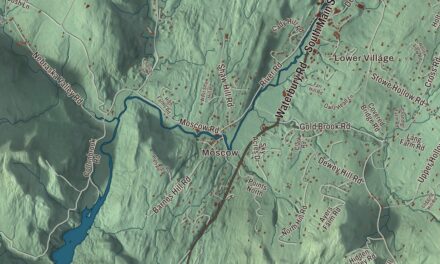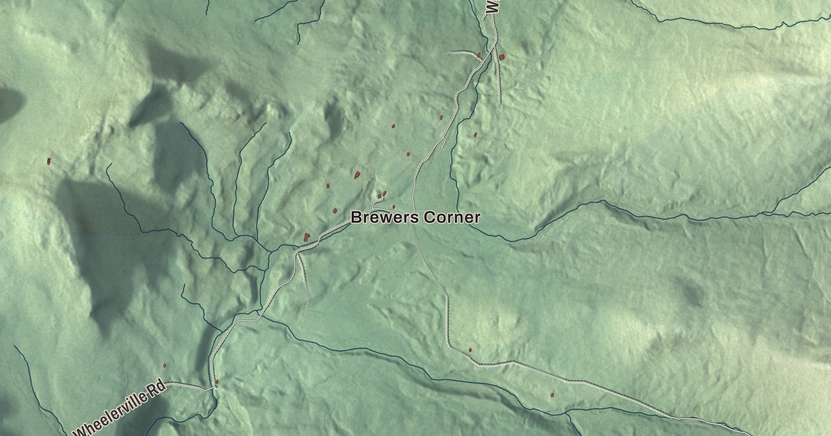
Mendon is the mountain town between Rutland and Killington, with U.S. Route 4 meandering through the mountains past it and the Appalachian Trail crossing its southeast corner near the top of Killington Peak. This map prints Notch Road, Wheelerville Road, Old Turnpike Road, Town Line Road, Meadow Lake Drive and Woodward Road, with Brewers Corner, Eastridge Acres and Beaver Pond.
Mendon is a town in Rutland County, Vermont.
KNOWOL made this map in 2026 from public survey data and gave it the look of an old county atlas, shading the hills from United States Geological Survey elevation data and drawing the roads and town line from the Census Bureau. The town covers 38.1 square miles, almost none of it water, and 1,149 people lived here at the 2020 census. Click here to purchase a print of this map for your wall.
Medway, Parkerstown, Mendon
Mendon has had three names. Vermont granted the town on February 23, 1781, as Medway. On November 7, 1804, it annexed Parker’s Gore and became Parkerstown, and it organized under that name on March 11, 1806, sending Benjamin Farmer to the legislature the next year. Then it was renamed Mendon, on November 6, 1827, according to the Legislature’s list (the town’s page says November 1828). Through the 1800s men named Edson, Richardson, Gibson, Mussey and Wilkins took their turns representing the town.
Edward H. Ripley went to the Vermont House for Mendon in 1886. Born in Rutland in 1839, he had left Union College near the end of his senior year to enlist as a private in the 9th Vermont Infantry, and he rose to brevet brigadier general. In April 1865 his brigade led the first Union troops into Richmond after its surrender, with orders to put out fires, prevent looting and keep order, and he commanded the district around the city until civil government returned. When Abraham Lincoln visited Richmond that April, Ripley learned of an assassination plot and met with the President to urge him to take more care. After the war he and his brother ran the Ripley Sons marble business. John E. Woodward, raised in Rutland and a West Point graduate, served in the Army from 1892 to 1934, from the Spanish American War through World War I, and rose to brigadier general, and he kept a summer home in Mendon, where he died in 1944.
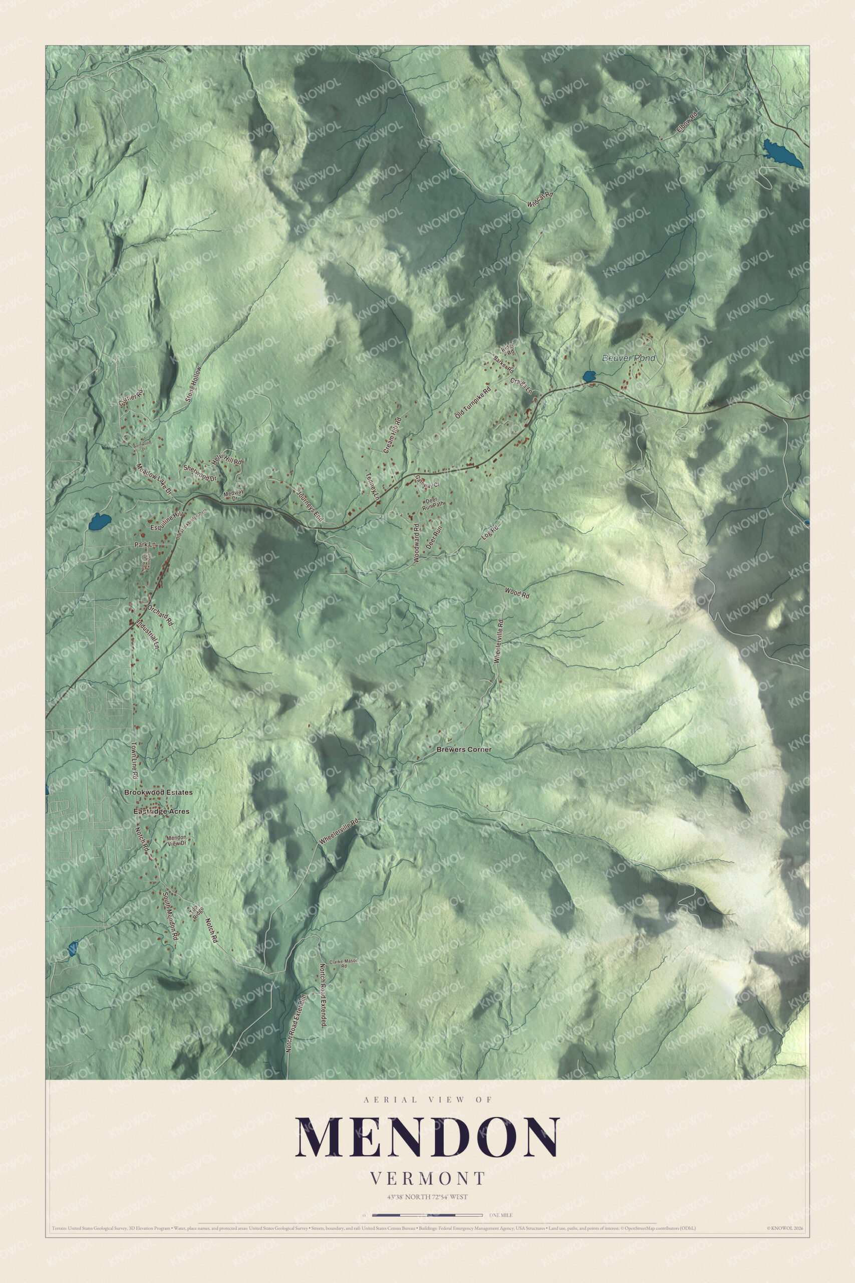
Click to explore a larger preview. The digital watermark does not appear on printed maps.
Names on this map
These names are printed on this map.
Places: Beaver Pond, Brewers Corner, Brookwood Estates and Eastridge Acres.
Streets and roads: Notch Road, Wheelerville Road, Old Turnpike Road, Town Line Road, Meadow Lake Drive, Notch Road Extended, Journeys End, Stone Hollow, Woodward Road, Cream Hill Road, Sherwood Drive, Deer Run.
More street names, A to Z
Barker Road, Clarke-Mason Road, Craigs Lane, Currier Road, Deer Run Path, Elbow Road, Esquiline Hill, Fernwood Drive, Gateway Court, Helvi Hill Road, Industrial Lane, Log Road, Medway Drive, Mendon View Drive, Nortch Road Extended, Old Stockbridge Path, Orchard Road, Park Lane, Park Lane Extended, Ridge Road, South Mendon Road, Tenney Lane, Top Ridge, Wildcat Road, Wood Road.
See it on a wall
The Mendon map as a framed print. Swipe for more.


Bald Mountain and the high ridge
Aitken State Forest covers 918 acres in Mendon around Bald Mountain, about 2,087 feet, which rises at its center. The Bald Mountain Trail, 4.2 miles there and back, reaches four lookouts with views of the Green Mountains, the Otter Creek and Cold River valleys, and Rutland, and the forest is known as a birding spot. In the 1930s the Civilian Conservation Corps had a camp here, and its crews thinned 192 acres of Norway spruce and white pine planted between 1913 and 1924 after forest fires early in the century. In the southeast corner of town, the Appalachian Trail and the Long Trail, sharing one path, pass near the summit of Killington Peak, the second highest summit in Vermont. On Route 4 at the town’s eastern line, the Pico ski area, opened in 1937, lies just inside Killington.
On the map, follow Wheelerville Road and Notch Road, then try Old Turnpike Road, Town Line Road, Meadow Lake Drive and Woodward Road. Brewers Corner and Eastridge Acres are printed, and so is Beaver Pond. Mendon dates to 1781.
This map of Mendon is made for everyone who calls Mendon home, and it shows the town as it looks today, from Brewers Corner to the slopes of Killington Peak. Hang it in an office, library or den, or use it to teach children the geography and history of their town. It’s printed on museum quality archival paper. Zoom in on the preview above to explore the details, then click here to get your copy of the Mendon, Vermont map.

Sources