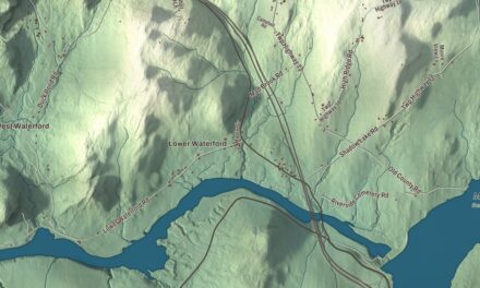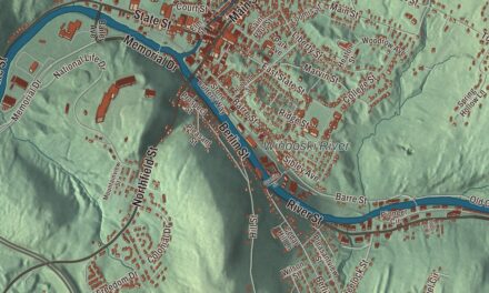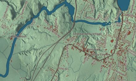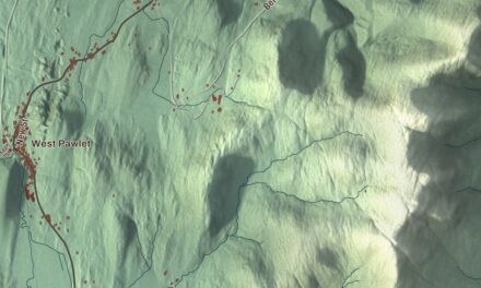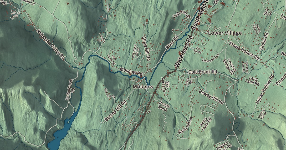
If you know Stowe, you know the corner in the village where Main Street meets Maple Street and Mountain Road heads off toward Mount Mansfield. This map prints Mountain Road, Maple Street, South Main Street, Waterbury Road, Pucker Street and Stowe Hollow Road, Moscow, Lower Village and West Branch, and Lake Mansfield and Sterling Pond.
Stowe is a town in Lamoille County, Vermont.
KNOWOL made this map in 2026 from public survey data and gave it the look of an old county atlas, shading the hills from United States Geological Survey elevation data and drawing the roads and town line from the Census Bureau. At 72.8 square miles, Stowe is the second-largest town in Vermont by area after Chittenden, and 5,223 people lived here at the 2020 census. Click here to purchase a print of this map for your wall.
A valley under Mount Mansfield
Benning Wentworth, royal governor of New Hampshire, chartered Stowe on June 8, 1763. More settlers arrived in 1793, two years after Vermont became a state. The town organized on March 13, 1797, and Nathan Robinson is the first representative the Legislature lists for it, from 1801. It belonged to Chittenden County until 1811 and to Washington County until Lamoille County was formed in 1836. The town lies in a broad valley between Mount Mansfield and the Green Mountains on the west and the Worcester Range on the east. The village grew up on the Little River where its West Branch joins it, and the river runs south past Moscow toward Waterbury Reservoir. Farming and lumber dominated its early years. Up to 8,000 sheep once grazed these hills, and later more than 100 dairy farms worked the town.
Mount Mansfield, at 4,393 feet, is the highest mountain in Vermont. The mountain once stood in the town of Mansfield, which was later split up, with its eastern part joining Stowe in 1848. The dividing line didn’t follow the ridge exactly, and it left the Chin, the summit, in Underhill and the Nose in Stowe. The mountain scenery made Stowe a well-known summer resort by the middle of the 1800s. W. H. H. Bingham, a Stowe lawyer, promoted the trade, built the large Mount Mansfield Hotel in 1864, which burned in 1889, and built the Summit Hotel on the mountain and roads to Mount Mansfield and Smugglers Notch. A 4.5-mile toll road still climbs from the Stowe base lodge to the Nose.
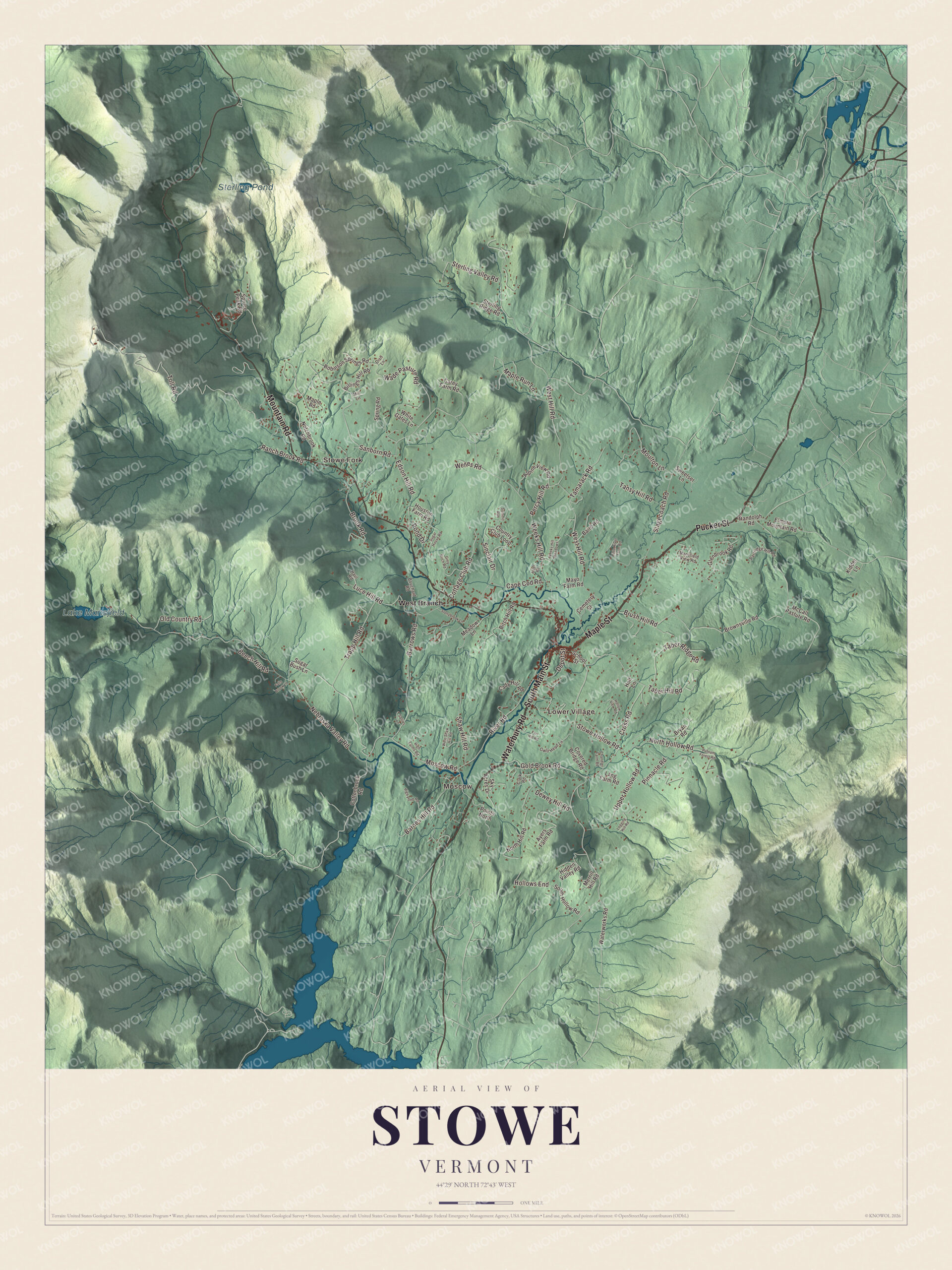
Click to explore a larger preview. The digital watermark does not appear on printed maps.
Names on this map
These names are printed on this map.
Places: Moscow, Stowe Fork, Lower Village, Lake Mansfield, Sterling Pond and West Branch.
Streets and roads: Waterbury Road, South Main Street, Maple Street, Pucker Street, Mountain Road, Stowe Hollow Road, Moscow Road, Taber Hill Road, Toll Road, Nebraska Valley Road, Weeks Hill Road, West Hill Road.
More street names, A to Z
Alger Road, Alpine View Road, Ayers Farm Road, Baird Road, Barnes Hill Road, Barrows Road, Beech Hill Road, Billings Hill Road, Birch Hill Road, Bouchard Road, Brook Road, Brownsville Road, Brush Hill Road, Bryan Road, Cady Hill Road, Cape Cod Road, Carey Farm Road, Cemetery Street, Chandler Farm Road, Clark Road, Cottage Club Road, Cottonbrook Road, Country Club Loop, Covered Bridge Road, Cross Road, Depot Street, Dewey Hill Road, Dish Lane, Edson Hill Road, Elmore Mountain Road, Falls Brook Lane, Farr Hill Road, Glenbrook Road, Gold Brook Road, Grey Birch Road, Haul Road, Hidden Valley Road, High Farms Road, High Pond Road, Hollows End, Hollow View Road, Holt Lane, Houston Farm Road, Kidder Lane, Lang Farm Road, Little River Farm Road, Logging Hill Road, Luce Hill Road, Mansfield View Road, Maple Road, Maple Run Lane, Mayo Farm Road, McCall Pasture Road, Meadow Lane, Merrill Hill Road, Mill Lane, Moulton Lane, North Hill Road, North Hollow Road, Notchbrook Road, Old Country Road, Owls Head Lane, Partridge Hill Road, Percy Hill Road, Pinnacle Road, Points North, Pond Drive, Putnam Forest Road, Ranch Brook Road, Randolph Road, River Road, Robinson Springs Road, Sallies Lane, Sanborn Road, School Street, Shaw Hill Road, Sinclair Drive, Sky Acres Drive, South Hollow Road, Spring Road, Spruce Peak Road, Stagecoach Road, Sterling Ridge Road, Sterling Valley Road, Stonybrook Lane, Sugar Bush Lane, Sugar House Road, Summit Run, Sweetser Lane, Taber Ridge Road, Tamarack Road, Tansy Hill Road, Trapp Hill Road, Upper Hollow Road, Wade Pasture Road, Waterworks Road, Weeks Hill Meadows, Welles Road, West Shaw Hill Road, White Gates Lane.
See it on a wall
The Stowe map as a framed print. Swipe for more.


From summer resort to ski town
Stowe held its first Winter Carnival in 1921. During the Great Depression the Civilian Conservation Corps built camps and cleared ski trails on Mount Mansfield, and Stowe became an early center of downhill skiing in the United States. The Bruce Trail came first, in 1933, then the Nose Dive in 1934, and in 1940 Stowe became the first ski area in Vermont with a single chairlift. One of the CCC buildings still stands on the north side of Mountain Road, across the West Branch about half a mile below the resort entrance. Built in 1935 to house 50 men working on the ski area’s roads and trails, it’s one of the largest surviving CCC-built housing units in Vermont, and the state ran it as a ski lodge after the war. In 1942 Maria and Georg von Trapp, whose story was loosely told in The Sound of Music, settled in Vermont, and in 1950 the family opened their enlarged home in Stowe as a 27-room ski lodge.
The village center at the junction of Main Street, Maple Street and Mountain Road is a historic district on the National Register of Historic Places. Its first building was a tavern of 1811, and the brick Green Mountain Inn dates to 1833. The district takes in both the town hall of 1818 and the town hall of 1902, which is still in use, and the Vermont Ski and Snowboard Museum, founded in 1988, moved to Stowe in 2000 and stands at 1 South Main Street. In Stowe Hollow, in the southeast part of town, the Gold Brook Covered Bridge, also called Emily’s Bridge, crosses Gold Brook near Stowe Hollow Road. John W. Smith built it around 1844, and it’s the only covered bridge left in Stowe and the state’s only surviving example of a wooden Howe truss on a public road. In 1969 town voters told the selectmen to maintain it forever.
Moscow, in the far south of town on the Little River, began as Smith’s Falls, named for a dam William Smith built in 1822. It took its second name from “the bell of Moscow,” a used circular saw blade hung in the old schoolhouse and struck to call meetings, and the name became official when the post office opened in 1886. The village prospered as a woodworking center into the early 1900s. Joseph Dutton, born in Stowe in 1843, served in the Union Army and later worked as a missionary with Saint Damien of Molokai, and Billy Kidd, who grew up in Stowe racing with the Mount Mansfield Ski Team, won a silver medal in slalom at the 1964 Winter Olympics, making him and teammate Jimmie Heuga the first American men to win Olympic medals in alpine skiing.
On the map, start with Moscow and Stowe Fork, then follow Waterbury Road, South Main Street, Maple Street, Pucker Street, Mountain Road and Stowe Hollow Road across town. Then look outward toward Lower Village and West Branch. Lake Mansfield and Sterling Pond are printed too. Stowe dates to 1763.
This map of Stowe is made for everyone who calls Stowe home, and it shows the town as it looks today, from Moscow and South Main Street to Mountain Road and Sterling Pond. Hang it in an office, library or den, or use it to teach children the geography and history of their town. It’s printed on museum quality archival paper. Zoom in on the preview above to explore the details, then click here to get your copy of the Stowe, Vermont map.

Sources
- Stowe, Vermont, Wikipedia
- Town histories and representatives, S towns, Vermont Legislature
- Mount Mansfield, Wikipedia
- Stowe Village Historic District, Wikipedia
- W. H. H. Bingham, Wikipedia
- Stowe Mountain Resort, Wikipedia
- Stowe CCC Side Camp, Wikipedia
- Trapp Family Lodge, Wikipedia
- Vermont Ski and Snowboard Museum, Wikipedia
- Gold Brook Covered Bridge, Wikipedia
- Moscow Village Historic District, Wikipedia
- Joseph Dutton, Wikipedia
- Billy Kidd, Wikipedia