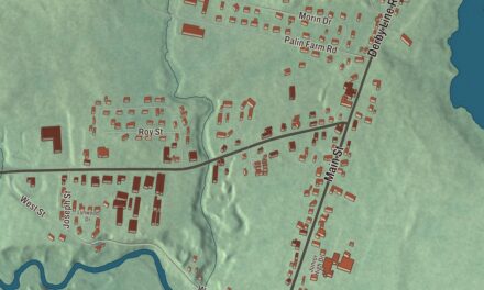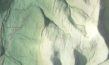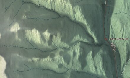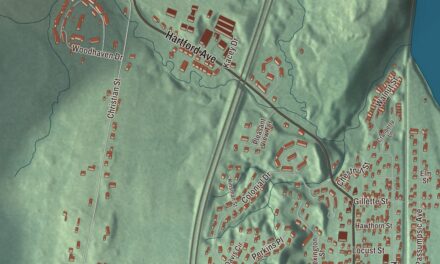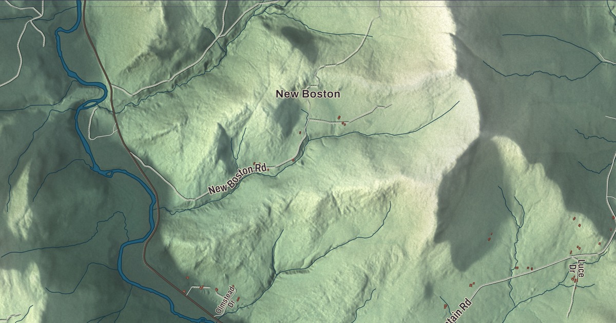
Stockbridge follows the White River as it turns northeast toward Bethel, with Route 107 beside the water and the village of Gaysville on its banks. This map prints Gaysville, New Boston and Notown, the White River, and River Road, Stony Brook Road, Fletcher Brook Road, South Hill Road, Music Mountain Road and Laury Road.
Stockbridge is a town in Windsor County, Vermont.
KNOWOL made this map in 2026 from public survey data and gave it the look of an old county atlas, shading the hills from United States Geological Survey elevation data and drawing the roads and town line from the Census Bureau. 718 people lived in Stockbridge at the 2020 census. Click here to purchase a print of this map for your wall.
Mills on the White River
New Hampshire granted Stockbridge on July 21, 1761, but no one settled it until the 1780s. In 1785 Elias Keyes, a veteran of the Continental Army, took up an offer of 400 acres for whoever built the town’s first gristmill and sawmill, and he became one of its first settlers. He put his mills on the White River a few miles above the mouth of the Tweed River, began a house on a terrace to the north, and gave land for a town common and cemetery. That spot became the village of Stockbridge Common. The town organized on March 27, 1792, and John Whitcomb was its first representative in the legislature. Keyes followed him in 1793, later served one term in Congress from 1821 to 1823, and is buried in Maplewood Cemetery, just south of the common.
The common never grew into a busy village, owing to its distance from the river and its place on a rise above the easier routes along the water, and in the 1800s it was eclipsed by Gaysville, on the White River. Daniel Gay and his brother Jeremiah came to Stockbridge in the 1820s and built a textile mill there in 1832, and the Gay family ran it until Vermont’s 1927 floods destroyed the mill along with most of the village. Daniel Gay’s Greek Revival house of 1835, with its four Doric columns, was one of the few buildings to survive. Lucia Gay gave it to the Belcher Library Association in 1937, and it’s now the Belcher Memorial Library, on the southeast side of Route 107 just north of Bridge Street.
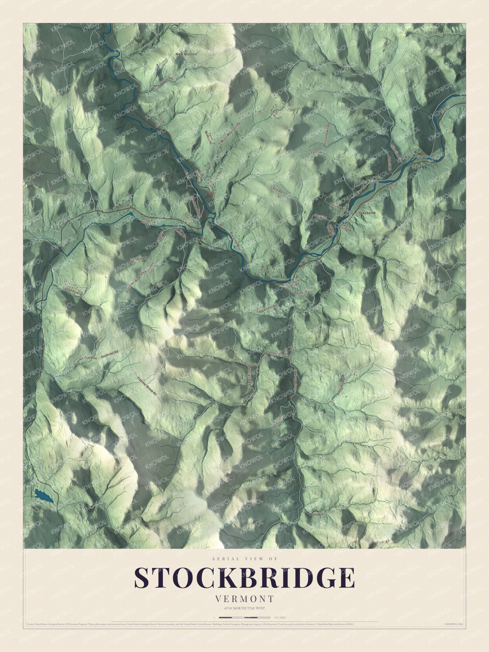
Click to explore a larger preview. The digital watermark does not appear on printed maps.
Names on this map
These names are printed on this map.
Places: New Boston, Notown, White River and Gaysville.
Streets and roads: Fletcher Brook Road, South Hill Road, Music Mountain Road, Laury Road, River Road, Stony Brook Road, South Hill Road Stockbridge, Blackmer Boulevard, Whitcomb Hill Road, Taggart Hill Road, Davis Hill Road, Lyon Road.
More street names, A to Z
Abbott Road, Blanchard Road, Bridge Street, Butterfield Road, Cedarwood Road, Childrens Camp Road, Common Road, Driscoll Road, Fanny Meadow Road, Joe Manning Road, Kelly Road, Labadie Road, Lafranie Road, Lillieville Road, Luce Drive, Morse Road, Mount Hunger Road, New Boston Road, Olmstead Drive, Pit Road, Pratt Road, Ranney Road, Schaff Haus Drive, South Hill Road Ptfld, Sweet Lane, Taggart Hill Road South, Timber Hawk Road, Tweed River Drive, Whitney Road.
See it on a wall
The Stockbridge map as a framed print. Swipe for more.


Up in the hills
Back at Stockbridge Common, the common is ringed by Stockbridge Common Road and Maplewood Road, with six 19th-century buildings along its edges. They include the big Federal house Keyes began and Seth Wright finished around 1804, the Union Church of 1826 on land Keyes gave, and the district schoolhouse of 1884. A school was also built on South Hill in 1896, the ninth in town, and in 1956 the three schools still running were combined in Stockbridge Central School on Route 107. In a high valley in northern Stockbridge, on the south side of Music Mountain Road, the Luce Farm covers 207 acres of fields and woods, with an 84-acre sugarbush. The oldest part of its farmhouse dates to about 1790, and the Twitchell family raised hay, maple sugar, cheese, sheep and hops there in the 1800s. Preservationists bought it in 1995 and keep it as a working farm, and it joined the National Register of Historic Places in 2021, as the Stockbridge Common Historic District and the Daniel Gay House had before it.
Several Stockbridge natives left a mark far from the White River. Orestes Brownson, born here in 1803 to a farm family, became a writer, preacher, labor organizer and noted Catholic convert. George Crockett Strong, born here in 1832, was a Union brigadier general who led the assault on Fort Wagner in South Carolina in 1863. Mark W. Bullard, born here in 1822, left for the West Coast in 1849 and later donated the land for the town that became Lakeview, Oregon.
On the map, start with New Boston, then follow Fletcher Brook Road, South Hill Road, Music Mountain Road, Laury Road, River Road and Stony Brook Road across town. Then look outward toward Notown and Gaysville. The White River is printed too. Stockbridge dates to 1761.
This map of Stockbridge is made for everyone who calls Stockbridge home, and it shows the town as it looks today, from Gaysville and the White River to New Boston and Music Mountain Road. Hang it in an office, library or den, or use it to teach children the geography and history of their town. It’s printed on museum quality archival paper. Zoom in on the preview above to explore the details, then click here to get your copy of the Stockbridge, Vermont map.

Sources
- Stockbridge, Vermont, Wikipedia
- Town histories and representatives, S towns, Vermont Legislature
- Stockbridge Common Historic District, Wikipedia
- Elias Keyes, Wikipedia
- Daniel Gay House, Wikipedia
- Gaysville, Vermont, Wikipedia
- White River (Vermont), Wikipedia
- Luce Farm, Wikipedia
- Orestes Brownson, Wikipedia
- George Crockett Strong, Wikipedia
- Mark W. Bullard, Wikipedia