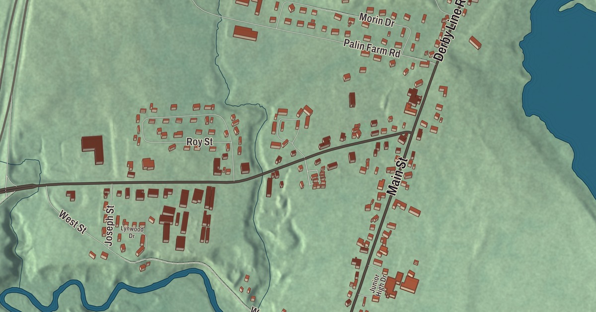
Derby Center keeps a granite monument from 1866 that’s described as the oldest community memorial to the Civil War in the United States. This map prints the village streets and the roads that lead out of it: Main Street, West Street, Derby Line Road, Morgan Road, Wallace Road and Palin Farm Road.
Derby Center is an incorporated village within the town of Derby, in Orleans County, Vermont.
KNOWOL made this map in 2026 from public survey data and gave it the look of an old county atlas. The relief is shaded from United States Geological Survey elevation data, and the streets come from the Census Bureau, as does the village line, since Derby Center has its own incorporated-place boundary. The village covers 1.5 square miles, all land, and it had 635 people at the 2020 census. Click here to purchase a print of this map for your wall.
The village and its town
Derby Center is one of two incorporated villages in the town of Derby, along with Derby Line. Vermont chartered the town on October 29, 1779, to Timothy Andrus and fifty-nine associates, and named it for Derby in England. The town organized in 1798. Today Derby is the most populous community in Orleans County and the northernmost town on Interstate 91, and it borders the Province of Quebec.
Before the Civil War, Portus Baxter and David Camp were agents of the Underground Railroad in Derby, part of the network that helped people escape slavery. Camp went on to serve as Vermont’s lieutenant governor from 1836 to 1841.
The oldest Civil War memorial
On October 31, 1866, the town put up a granite monument at Derby Center to the men from Derby who died in the Civil War. It’s inscribed “In Memory of the Volunteers from Derby, who Lost their Lives in the Great Rebellion,” and it lists fifty-three names. Derby’s town page calls it the oldest community memorial to that war in the United States.
The youngest person ever awarded the Medal of Honor grew up in what’s now Derby. Willie Johnston’s family moved to a farm in Salem, now part of Derby, in 1858, and he joined Company D of the 3rd Vermont Infantry as a drummer boy. During the Seven Days Battles in 1862 he was the only drummer in his division to come away with his drum, and in 1863, at 13, he received the Medal of Honor for it.
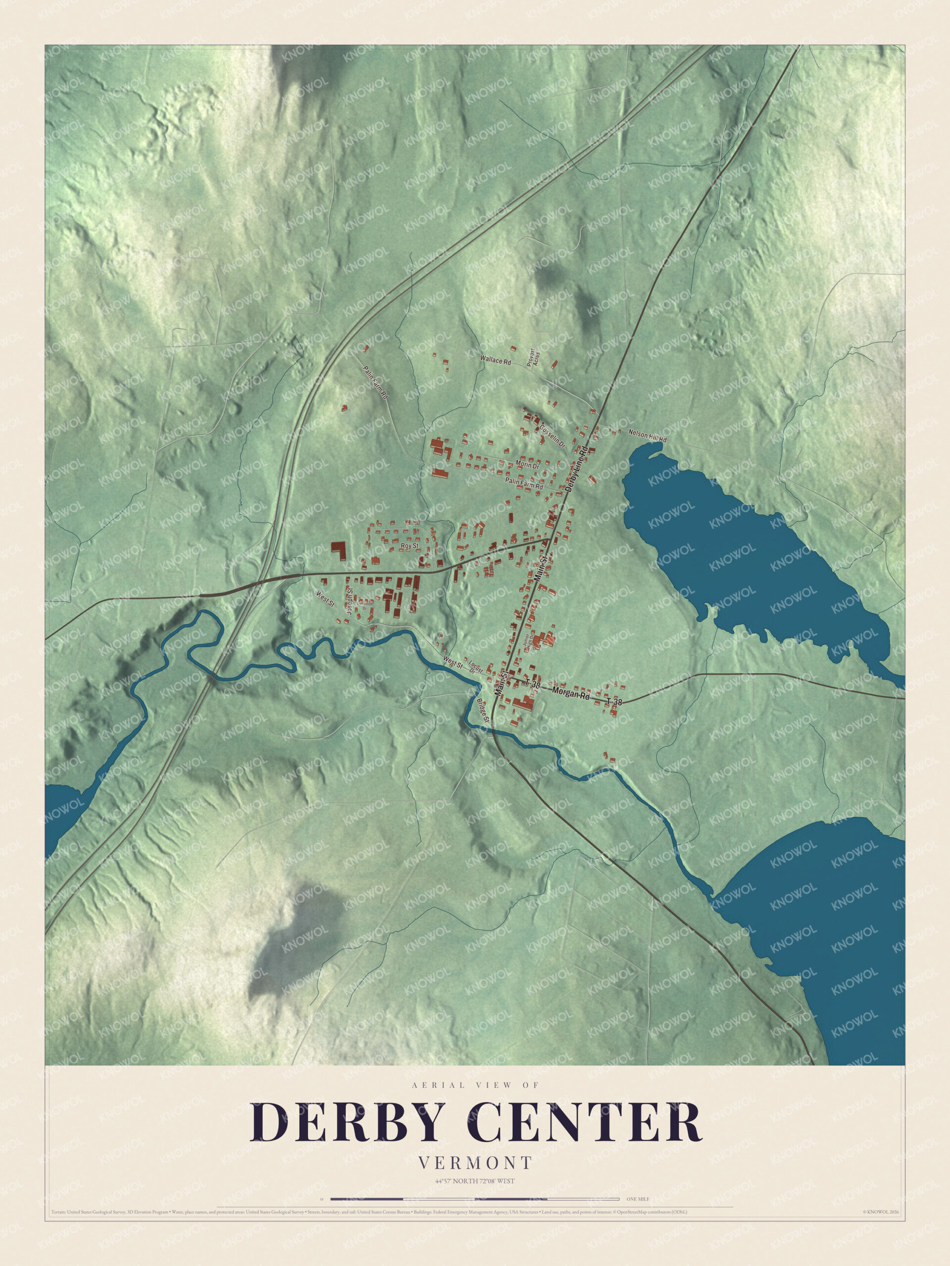
Click to explore a larger preview. The digital watermark does not appear on printed maps.
Names on this map
These names are printed on this map.
Streets and roads: Main Street, Derby Line Road, Morgan Road, T-38, Palin Farm Road, West Street, Wallace Road, Roy Street, Morin Drive, Nelson Hill Road, Gosselin Drive, Joseph Street.
More street names, A to Z
Bridge Street, Junior High Drive, Locust Drive, Lynwood Drive, Provost Acres.
See it on a wall
The Derby Center map as a framed print. Swipe for more.


An airport within walking distance
In 1928 the Canadian Gateway Airport opened off Vermont Route 111, within walking distance of Derby Center. It was the third airport built in Vermont, but when the older airport at Burlington was named the state’s entry airport from Canada, Gateway closed, in 1933. The village remains active today: the North Country Union Junior High School is here, the radio station WMOO broadcasts from Derby Center, and free buses run between Newport and the village during the week.
On the map, start with Main Street and West Street in the village, then follow Derby Line Road, Morgan Road, Wallace Road and Palin Farm Road. Each of those names is printed on the map.
This map of Derby Center is made for everyone who calls Derby Center home and shows the village as it looks today, from Main Street to Palin Farm Road. Hang it in an office, library or den, or use it to teach children the geography and history of the village. KNOWOL created it in 2026, and it’s printed on museum quality archival paper. Zoom in on the preview above to explore the details, then click here to get your copy of the Derby Center, Vermont map.

Sources