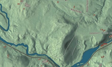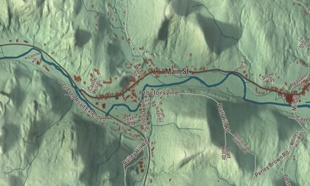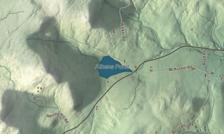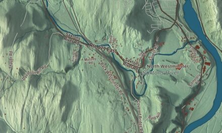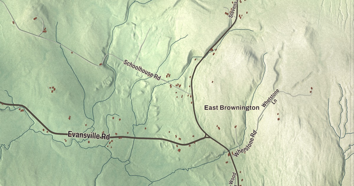
In Brownington Village, a four-story granite building stands across the road from a schoolmaster’s house, and it has been a museum since 1925. This map prints Brownington Village, Brownington Center, Evansville and East Brownington, Brownington Pond, and Willoughby Avenue, Evansville Road, Willoughby Lake Road, Hinman Settler Road, Ticehurst Road and Pepin Road.
Brownington is a town in Orleans County, Vermont.
KNOWOL made this map in 2026, building it from public survey data and drawing it in the manner of an old atlas. The hill shading comes from United States Geological Survey elevation data, and the roads and the town line from the Census Bureau. Brownington covers 28.4 square miles, with the Willoughby River crossing the southern part of town and Brownington Pond in the north, partly in Derby. It had 1,042 people at the 2020 census. Click here to purchase a print of this map for your wall.
A town of Browns
Vermont granted the town in 1782 and chartered it on October 2, 1790. It was named for the Brown family: Daniel and Timothy Brown were its two chief grantees, and six other Brown men and one woman, Sarah, were on the list as well. In the early 19th century the village sat on Hinman Settler Road, then a main road through the county, and the village was on the stagecoach route from Boston to Montreal. Until 1816 Brownington was one of Orleans County’s two shire towns, holding court in turn with Craftsbury, before the legislature moved the county seat to Irasburg.
Alexander Twilight’s Athenian Hall
In 1829 Alexander Twilight came to Brownington as principal of the Orleans County Grammar School, then the only secondary school in a two-county area, and as minister of the Congregational church. Born in Bradford in 1795, he graduated from Middlebury College in 1823 and is recognized as the first African American to earn a bachelor’s degree from an American college. In 1836 he was elected to the Vermont House of Representatives, the first African American elected to a state legislature.
Students came from far away and boarded with families in town, the Twilights among them. When his trustees wouldn’t back a bigger building, Twilight took the project on himself. From 1834 to 1836 he designed, raised money for and had built Athenian Hall, a four-story granite dormitory on land Cyrus Eaton gave him across the road from his own house. His page calls it the first granite public building in Vermont, and the historic district’s account says nobody knows where the granite came from. It housed boys and girls until 1859. In 1918, with a railroad agent bidding for its stones to use in bridge abutments, the Orleans County Historical Society bought it at auction for $500, and in 1925 it opened as a museum, now called the Old Stone House.
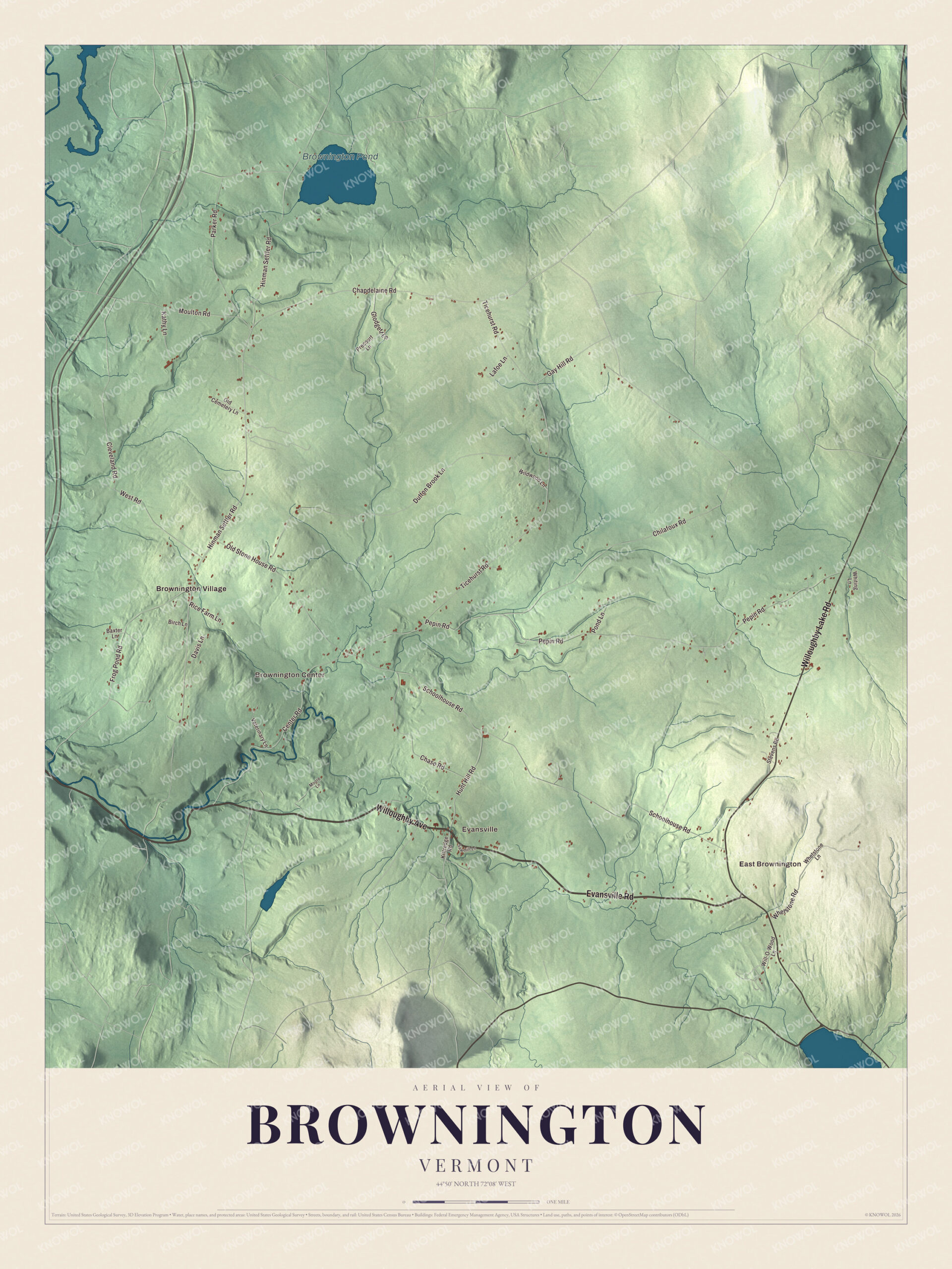
Click to explore a larger preview. The digital watermark does not appear on printed maps.
Names on this map
These names are printed on this map.
Places: East Brownington, Evansville, Brownington Center, Brownington Pond and Brownington Village.
Streets and roads: Willoughby Avenue, Evansville Road, Willoughby Lake Road, Hinman Settler Road, Ticehurst Road, Pepin Road, Schoolhouse Road, Dutton Brook Lane, Chilafoux Road, Chapdelaine Road, Parker Road, Old Stone House Road.
More street names, A to Z
Baxter Lane, Birch Lane, Center Road, Chase Road, Cleveland Road, Davis Lane, Frog Pond Road, Gay Hill Road, Glodgett Lane, Hunt Hill Road, Kathy Lane, Kittredge Road, Lafoe Lane, Moore Lane, Moulton Road, Old Cemetery Lane, Pond Lane, Precourt Lane, Rice Farm Lane, Sawmill Lane, Stevens Road, Veterinary Lane, West Road, Whetstone Lane, Whetstone Road, Whiting Lane, Wildwood Lane, Will-O-Wood Lane.
See it on a wall
The Brownington map as a framed print. Swipe for more.


Brownington Village
The Brownington Village Historic District, listed on June 9, 1973, stands near the corner of Hinman and Brownington Center roads. Along with the Old Stone House it takes in Twilight’s own house of 1830, now the historical society’s visitor center, the 1834 house of his friend Cyrus Eaton, and the Federal-style Samuel Read Hall House of 1831 on Hinman Settler Road. Hall, who had started the country’s first school for training teachers, in Concord, Vermont, taught at the grammar school and lived in that house for about two decades, and his page credits him with inventing the blackboard. The grammar school building itself, built in 1823, was moved back to its original spot on August 8, 2016, by a team of 46 oxen.
Brownington has three villages, all printed on the map: Brownington Village, Brownington Center and Evansville, with East Brownington too. William Barstow Strong was born in Brownington in 1837 and rose to president of the Atchison, Topeka and Santa Fe Railway, and the city of Barstow, California, carries his name. Stephen Perry Jocelyn, a native of the town, served in the Civil War and became a brigadier general.
Put this map of Brownington in an office, library or den, or use it to teach children the geography and history of a hill town in the Northeast Kingdom. It’s made for people who call Brownington home and shows the town as it looks today, from Brownington Pond to the Old Stone House. KNOWOL created it in 2026, and it’s printed on museum quality archival paper. Zoom in on the preview above to explore the details, then click here to get your copy of the Brownington, Vermont map.

Sources
- Brownington, Vermont, Wikipedia
- Brownington Village Historic District, Wikipedia
- Old Stone House Museum, Wikipedia
- Alexander Twilight, Wikipedia
- Samuel Read Hall, Wikipedia
- William Barstow Strong, Wikipedia
- Stephen Perry Jocelyn, Wikipedia
- Town histories and representatives, B towns, Vermont Legislature