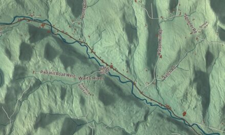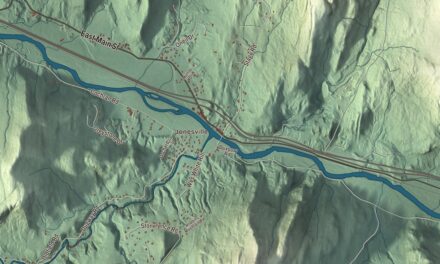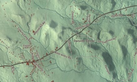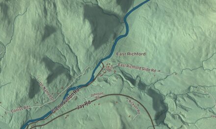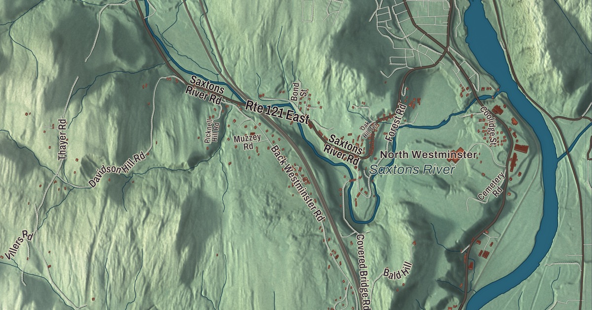
This aerial map of Westminster, Vermont was created in 2026 using real geographic data to bring the town’s streets, buildings, neighborhoods, ponds and waterways, and terrain together in one highly detailed view. Look closer and you can pick out the familiar places that make Westminster feel like home. Start with the street you know, then see how it connects to the rest of the Westminster you call home. Click here to purchase a print of this map for your wall.
Explore an aerial view of Westminster, Vermont
Start with North Westminster and Westminster Station. Follow Calvin Coolidge Memorial Highway, Hartley Hill Road, School Street, Kurn Hattin Road, Westminster West Road, and Morse Brook Road across town. Then look outward toward Bemis Hill and Westminster West.
Saxtons River is labeled on the map. That name is printed directly on the artwork, giving you a place to begin exploring.
Westminster dates to 1752. Westminster is a town in Windham County. It remains a distinct town in Vermont today. Click the image below to see the area as it looked in 2026.
Take a closer look at the Westminster map
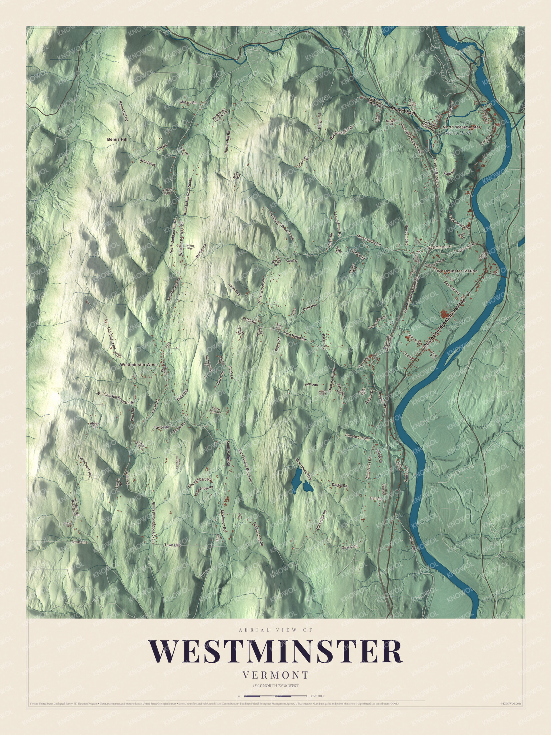
Click to explore a larger preview. The digital watermark does not appear on printed maps.
Names on this map
These names are printed on this map.
Places: North Westminster, Westminster Station, Bemis Hill, Westminster West and Saxtons River.
Streets and roads: Route 121 East, Calvin Coolidge Memorial Highway, Hartley Hill Road, School Street, Kurn Hattin Road, Westminster West Road, Morse Brook Road, Old Athens Road, Deer Run, West Road, Davidson Hill Road, Covered Bridge Road.
More street names, A to Z
Abbey Road, Airport Road, Annie's Hill, Armory Lane, Arnof Way, Back Westminster Road, Bald Hill, Barnes Road, Beebe Road, Bemis Hill Road, Birch Lane, Blake Street, Blue Heron Way, Bodine Drive, Bond Street, Buck Drive, Bump Road, Burnett Road, Camp Road, Cemetery Road, Church Street, Cold Spring Hill, Coolidge Street, Cox Road, Crosley Way, Cross Road, Daigel Road, Deitz Drive, Earth Bridge Road, East Putney Brook Road, Farnsworth Road, Forest Road, Goat Hill, Goldies Road, Graves Road, Gregg Road, Grout Avenue, Harrington Road, Hartley Hill Road South, Hemlock Ridge, Henwood Hill Road, Hickory Ridge Road South, Hidden Spring, Higgins Hill Road, Holden Road, Hurley Drive, James Road, Kimball Hill Road North, Kimball Hill Road South, Kim Hubbard Road, King's Lane, Kurkul Road, Lane Swamp Road, Mayo Road, Mc Coy Lane, McKinnon Road, Milenkevich Road, Milky Way, Minard Road, Morse Brook, Muzzey Road, Newcomb Road, North Goddard Hill Road, Oak Hill Terrace, Old Codding Road, Old Ledge Road, Oneill Hill, Orchard Hill Road, Our Road, Parker Road, Patch Farm Road, Patch Road, Peck Lane, Picknell Hill Road, Piggery Road, Pine Banks Road, Quarry Road, Ridge Road, River Road, Rocky Road, Sand Hill Road, Sauve Road, Saxtons River Road, Seafood Lane, Slies Hill, South Goddard Road, South Valley Road, Spring House Road, Steepleview Way, Sullivan Road, Sumner Road, Sweetwood Hill, Taylor Road, Thayer Road, Three Dog Lane, Town Line, Trail Road, Trail Road Extended, Turrell Road, Upper Hourglass Road, Valley Brook Drive, Villers Road, Wellington Hill Road East, Westminster Heights Road, Westminster Street, Windmill Hill Road North, Windmill Hill Road South, Woodland Path.
See it on a wall
The Westminster map as a framed print. Swipe for more.


We designed the artwork at KNOWOL using Westminster’s real streets, buildings, neighborhoods, ponds and waterways, and terrain, the town boundary, and the way buildings spread across the town. Then we chose the color, relief, lettering, and layout that make the map look great on the wall.
This beautifully detailed map of Westminster makes an attractive addition to your office, library, or den and can even be used to teach children the geography and history of the area. When you’re done exploring, click here to get your copy of the Westminster, Vermont map.