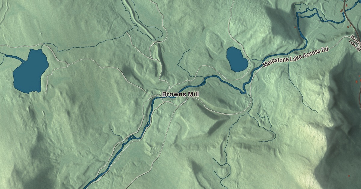
Brunswick’s first farms were on the meadows along the Connecticut River, and back from the river the town turns hilly and stony. This map prints Brunswick Springs and Browns Mill, Wheeler Pond and Dennis Pond, and Brunswick Spring Road, Maidstone Lake Road, Maidstone Lake Access Road, Notch Pond Road, Smith Road and Graham Road.
Brunswick is a town in Essex County, Vermont, on the Connecticut River across from Stratford, New Hampshire.
KNOWOL made this map in 2026 from public survey data, with the look of an old atlas. The shaded terrain comes from United States Geological Survey elevation data, and the roads and the town line come from the Census Bureau. Brunswick covers 26.0 square miles, a little over 2 percent of it water, and it had 88 people at the 2020 census. Its neighbors are Bloomfield to the north, Lewis to the northwest, Ferdinand to the west and Maidstone to the south. Click here to purchase a print of this map for your wall.
A charter that came up short
Governor Benning Wentworth of New Hampshire chartered Brunswick in 1761 to Stephen Noble and 63 others, and the town was named for Prince Karl Wilhelm Ferdinand of Brunswick-Lunenburg. The charter promised about twenty-five thousand acres, laid out as a square running six miles up the Connecticut from the corner of Maidstone. Margaret G. Marshall, who wrote the town’s history for the Vermont Historical Gazetteer, explained what went wrong: the river runs nearly north and south past Brunswick, not on the slant the charter assumed, so the lines made a rhombus instead of a square. The town ended up with a little more than 15,000 acres, and the proprietors lost about two-fifths of the land they had been promised.
None of those proprietors ever settled here. Joseph Wait and his brother Nathaniel came around 1780 and farmed the bend of the river that still carried their name, the Wait Bow, in Marshall’s day. Joseph became the first sheriff in Essex County and the town’s first representative, and town meetings were held at his house for years. Brunswick organized on March 31, 1796, at Nathaniel Wait’s house. Susan Bailey kept the first school in 1795, in a log house at the foot of the hill, and the second term of the Essex County court met in David Hyde’s barn. The first road, surveyed in 1790, ran up the Connecticut from the Maidstone line to Bloomfield, and in 1793 the proprietors built another west through Brunswick and Wenlock, now Brighton, to Island Pond.
The springs
John Hayward’s 1849 gazetteer noted a mineral spring in Brunswick “said to contain medicinal virtues,” along with good mill sites on the Nulhegan River and on Wheeler and Paul’s streams, and a few beautiful ponds. In all there are six mineral springs in town, and in the 19th century they made Brunswick a popular resort. The land the springs are on is owned today by the Abenaki people.
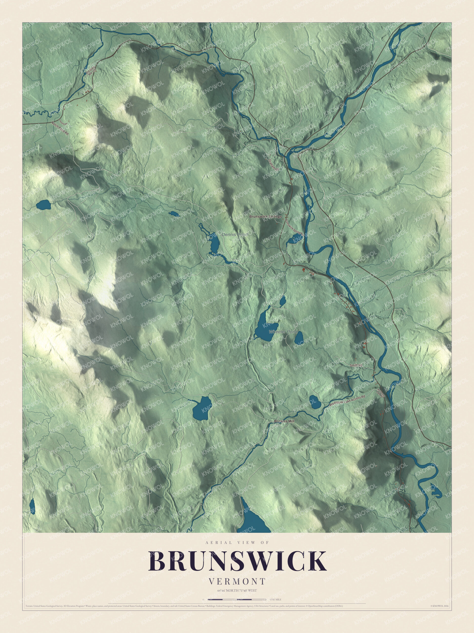
Click to explore a larger preview. The digital watermark does not appear on printed maps.
Names on this map
These names are printed on this map.
Places: Wheeler Pond, Dennis Pond, Browns Mill and Brunswick Springs.
Streets and roads: Notch Pond Road, Maidstone Lake Access Road, Smith Road, Graham Road, Brunswick Spring Road, Old State Route 105, Maidstone Lake Road and Paquette Road.
See it on a wall
The Brunswick map as a framed print. Swipe for more.


Marshall wrote that the meadows along the Connecticut flooded every year and came out richer for it, while the rest of the town was hilly and stony and poorly suited to farming. Five families who settled back from the river in the early 1820s gave up their land within two or three years. On the map, Brunswick Springs, Browns Mill, Wheeler Pond and Dennis Pond are printed along with Brunswick Spring Road, Maidstone Lake Road, Maidstone Lake Access Road, Notch Pond Road, Smith Road and Graham Road.
This map of Brunswick belongs in an office, library or den, and it can even help teach children the geography and history of a river town in Essex County. It’s made for everyone who calls Brunswick home and shows the town as it looks today, from the Connecticut River to Wheeler Pond. KNOWOL created it in 2026, and it’s printed on museum quality archival paper. Zoom in on the preview above to explore the details, then click here to get your copy of the Brunswick, Vermont map.

Sources