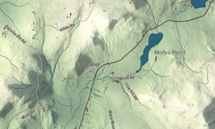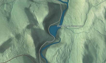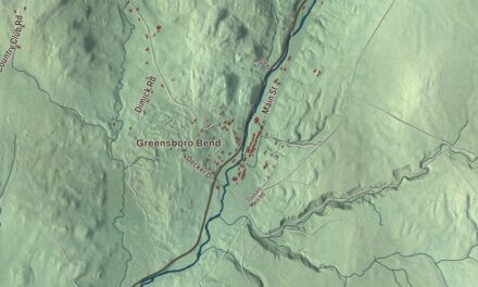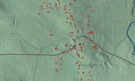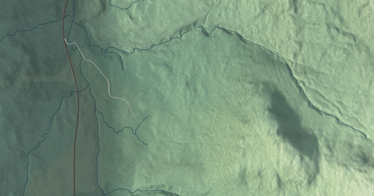
Drive Route 17 over the Appalachian Gap and you pass through Buels Gore, a small piece of Vermont that belongs to no town at all. This map prints Gore Road. It’s a local road that leaves Route 17 and heads north toward Burlington.
Buels Gore is a gore in Chittenden County, Vermont, at the county’s southern tip.
KNOWOL made this map in 2026 from public survey data, finished with the look of an old atlas. The shaded mountains come from United States Geological Survey elevation data, and the roads and the gore’s boundary come from the Census Bureau. Buels Gore borders Huntington to the north, Fayston in Washington County to the east and Starksboro in Addison County to the west Click here to purchase a print of this map for your wall.
What a gore is
In Vermont, gores and grants are pieces of a county that aren’t part of any town and have little or no government of their own. Many have nobody living in them, but Buels Gore does: it had 29 people at the 2020 census, down from 30 in 2010.
Major Buel’s flying grant
The gore’s story, as its page tells it, starts with Major Elias Buel, also spelled Buell, who came to Vermont from Coventry, Connecticut. With Ira Allen and several Buel relatives, he asked the legislature for a grant and received one for a town to be called Coventry, near Shoreham. A surveying error left almost no land in it. So the group went back and received a “flying grant,” a kind of license to take ungranted land wherever they could find it. Most of the state had been claimed by then, and they ended up with three separate pieces. The largest became the town of Coventry in Orleans County. A second, near it, was named Coventry Leg for its shape and was later added to Newport. The smallest, next to Huntington, was first called Huntington Gore and then Buels Gore, though Buel himself had wanted to name it Montzoar. All three charters were issued in October 1788 and dated back to 1780, the year of the first petition, and the gore’s charter from the Vermont General Assembly bears the date November 4, 1780.
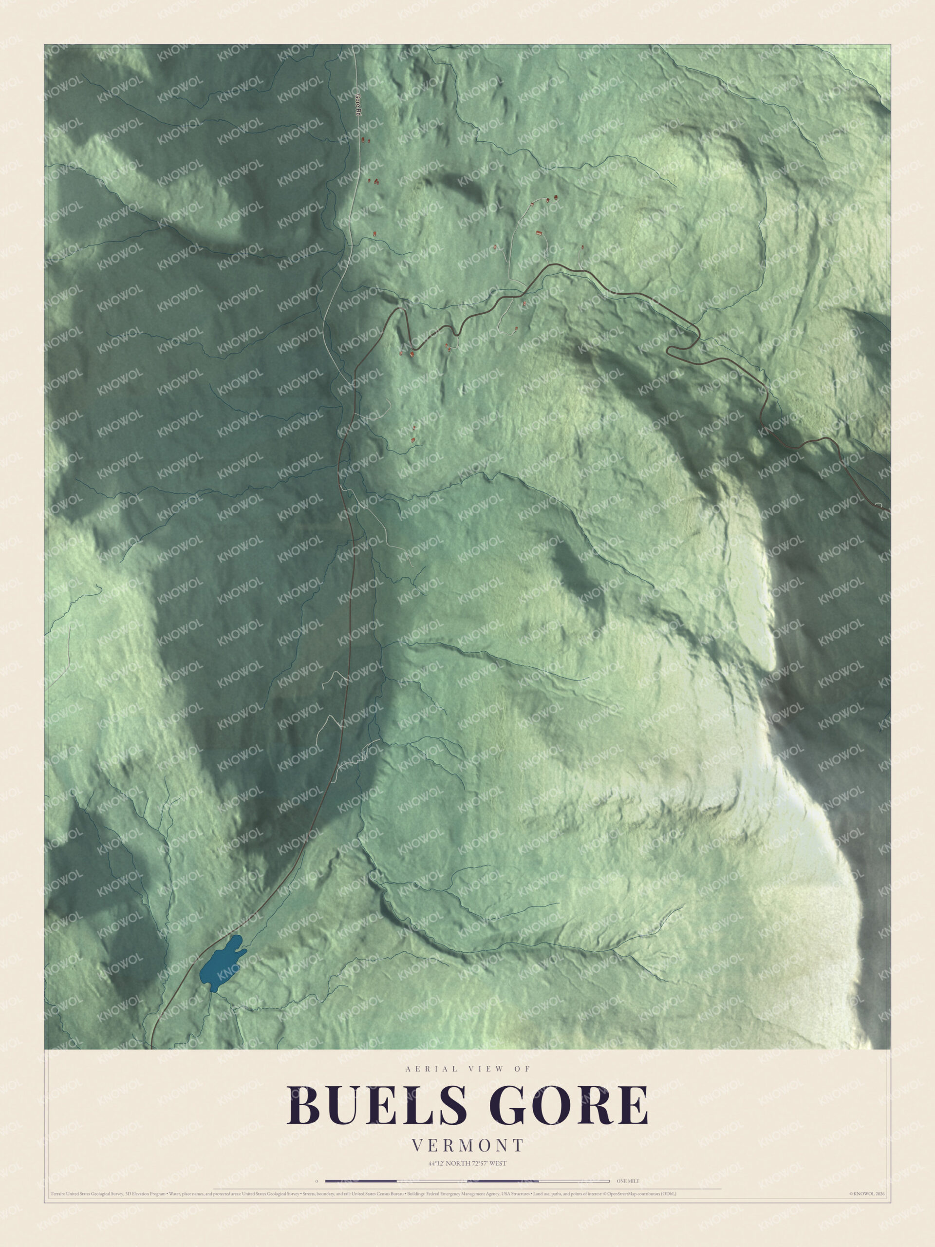
Click to explore a larger preview. The digital watermark does not appear on printed maps.
See it on a wall
The Buels Gore map as a framed print. Swipe for more.


Over the mountains
The crest of the Green Mountains runs through the east side of the gore, and the Long Trail follows it. The trail runs the length of Vermont and is the oldest long-distance trail in the United States, built by the Green Mountain Club between 1910 and 1930. Route 17 crosses the gore from west to east and climbs to the Appalachian Gap, a pass in Camel’s Hump State Park whose high point is in Chittenden County, just short of the Washington County line. The Long Trail crosses the gap between Stark Mountain and Baby Stark Mountain, and the views take in the Champlain Valley, Lake Champlain and the Adirondacks. Route 17 meets Gore Road just before it enters Chittenden County. The highway only came over the mountains in 1965, when the legislature extended Route 17 east from Bristol over Chittenden County’s section of the old McCullough Turnpike.
The climb is popular with motorcyclists and road cyclists. The gore and the summit of the gap are the finish of the Mad River Road Race, stage 3 of the Green Mountain Stage Race, with grades near the top as steep as 18 percent. The race began in 1994, joined the stage race in 2000, and brings 700 to 900 riders up the mountain every year.
This map of Buels Gore would hang well in an office, library or den, and it can even help teach children the geography and history of one of Vermont’s odd corners. It’s made for the people who call Buels Gore home and shows the gore as it looks today, from Gore Road up to the gap. KNOWOL created it in 2026, and it’s printed on museum quality archival paper. Zoom in on the preview above to explore the details, then click here to get your copy of the Buels Gore, Vermont map.

Sources