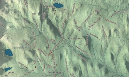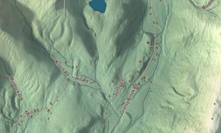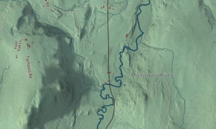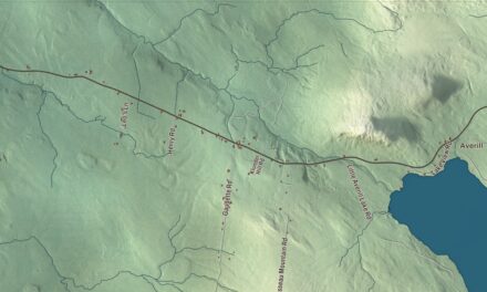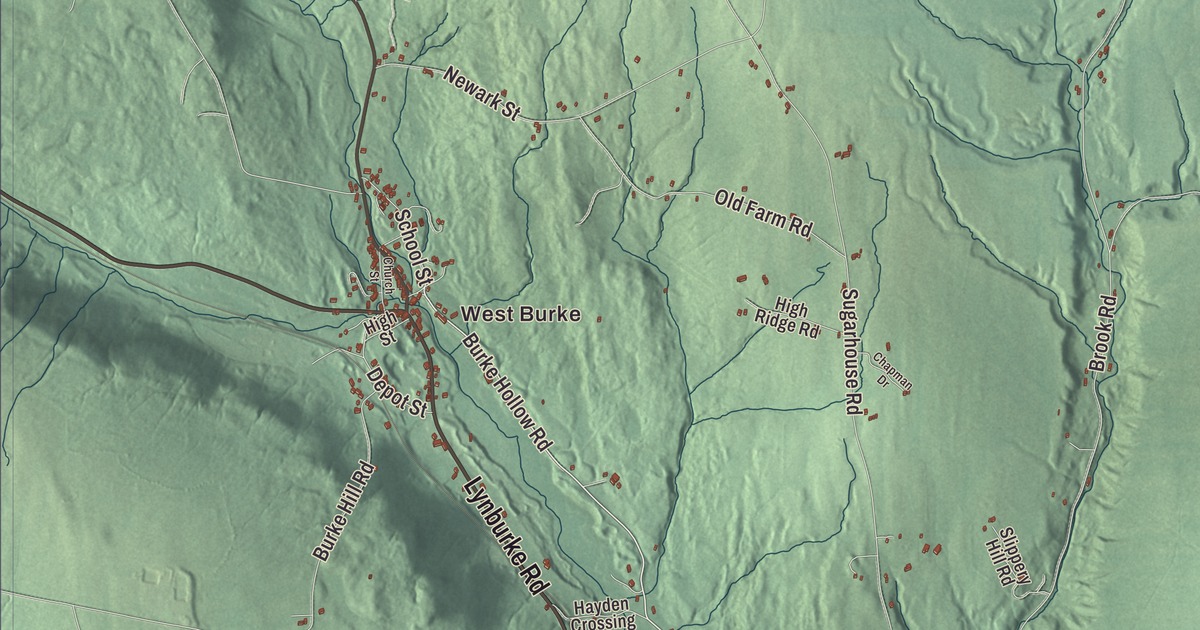
Burke has three villages and one mountain everybody knows. This map prints West Burke, Burke Hollow and East Burke, Duck Pond, and Lynburke Road, Burke Hollow Road, Sugarhouse Road, Pinkham Road, Victory Road and Brook Road.
Burke is a town in Caledonia County, Vermont, in the Northeast Kingdom.
KNOWOL made this map in 2026, using public survey data and the look of an old atlas. The shaded terrain is from United States Geological Survey elevation data, which shows Burke Mountain rising at the east end of town, and the roads and the town line are from the Census Bureau. Burke had 1,651 people at the 2020 census. U.S. Route 5 runs through the western part of town, and Vermont Route 114 runs through East Burke. Click here to purchase a print of this map for your wall.
A Litchfield County town
The town was named for Edmund Burke, the member of the English Parliament. Vermont granted it in 1782 to 65 proprietors, nearly all from Litchfield County, Connecticut, and A. Burington, who wrote Burke’s history for the Vermont Historical Gazetteer, noted that a number of them were women. Settlement began in the 1790s, mostly by Connecticut families, and both Burington and John Hayward’s 1849 gazetteer name Lemuel Walter among the first. The town organized on December 5, 1796. It once had a 3,400-acre strip east of Lyndon called Burke Tongue, which the legislature gave to Kirby in 1807. Burington described three high ridges running north and south through town, heavy with sugar maple, and both branches of the Passumpsic River turning mills along the way. Hayward added that Burke made oilstones, from a stone found on an island in Lake Memphremagog that he judged as good as any from Turkey.
Burke Mountain
Burke Mountain, at the east end of town, is its highest point. In Burington’s day Joseph S. Hall had just built a small house on the summit for visitors who came up for the view. The ski area on its northwest slopes dates from the 1940s, and Burke Mountain Resort is now a mid-size ski area with downhill mountain biking in summer.
Burke Mountain Academy, founded in East Burke in 1970, was the first ski academy in North America. It began when Martha Coughlin asked coach Warren Witherell for year-round training to help her reach the U.S. Ski Team, and it still trains its racers on Burke Mountain. Its graduates include Mikaela Shiffrin, class of 2013, along with Diann Roffe, Julie Parisien and many other ski racers.
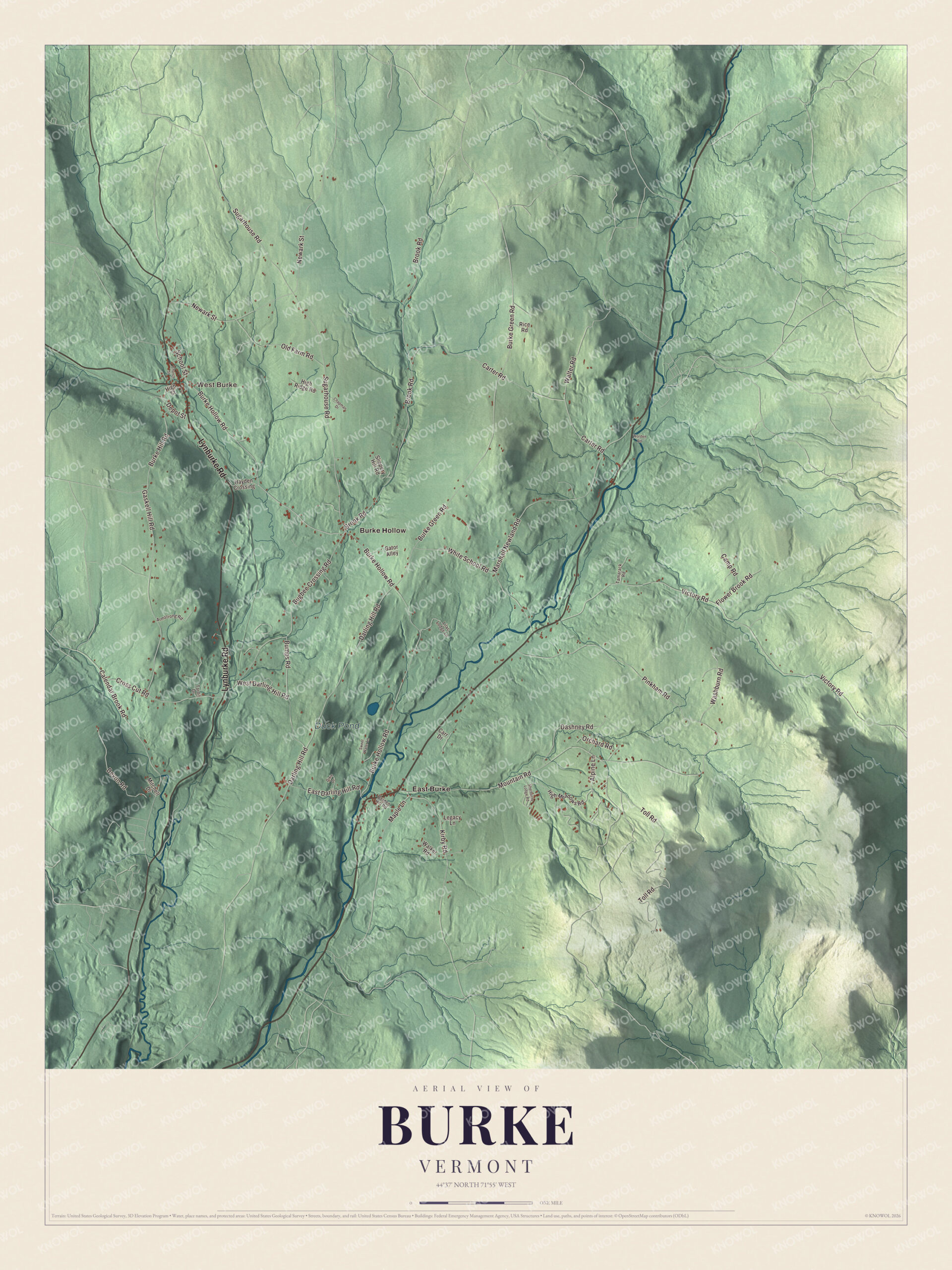
Click to explore a larger preview. The digital watermark does not appear on printed maps.
Names on this map
These names are printed on this map.
Places: West Burke, Duck Pond, Burke Hollow and East Burke.
Streets and roads: Lynburke Road, Burke Hollow Road, Sugarhouse Road, Pinkham Road, Victory Road, Brook Road, Burke Green Road, Mountain Road, Gaskell Hill Road, Darling Hill Road, Newark Street, Toll Road.
More street names, A to Z
Alpine Lane, Armstrong Road, Belden Hill Road, Bugbee Crossing Road, Bumps Road, Burke Hill Road, Calendar Brook Road, Camp Road, Carr Drive, Carter Road, Chapman Drive, Church Street, Cross Cut Road, Dashney Road, Depot Street, Devon Road, Dixie Drive, East Darling Hill Road, Flower Brook Road, Gator Alley, Hayden Crossing, High Meadows Road, High Ridge Road, High Street, Kirby Road, Legacy Lane, Lilac Lodge Lane, Maple Lane, Marshall Newland Road, Mitchell Drive, Old Farm Road, Orchard Road, Rice Road, School Street, Sherburne Lodge Road, Slippery Hill Road, Sweet Water Lane, Tamarack Road, Tardif Drive, Walker Road, Walter Road, Washburn Road, West Darling Hill Road, White School Road, Worden Road.
See it on a wall
The Burke map as a framed print. Swipe for more.


Darling Hill
Elmer Darling, born in Burke, made his fortune running the Fifth Avenue Hotel in New York City. Starting in 1883 he bought up farms along the ridge north of Lyndon and west of East Burke, more than 2,000 acres in all, and turned them into a gentleman’s farm run from Mountain View Farm. He built a creamery in the 1890s, bred Morgan horses, and lined Darling Hill Road with trees that still largely shade it. At the top of the ridge he built Burklyn Hall in 1904 to 1908, a Colonial Revival mansion with elevators and a central vacuum system, named for its place on the Burke and Lyndon town line. The estate was listed on the National Register of Historic Places in 2011.
Today East Burke is home to the Kingdom Trails, where hundreds of mountain bikers ride at a time in summer and fall. Vermont Route 114 leads north from East Burke to Island Pond, and Route 5A leaves U.S. 5 at West Burke and heads north past Lake Willoughby. Burke Hollow and Duck Pond are printed on the map as well.
This map of Burke fits an office, library or den, and it can even help teach children the geography and history of a mountain town in the Northeast Kingdom. It’s made for everyone who calls Burke home and shows the town as it looks today, from West Burke to Burke Mountain. KNOWOL created it in 2026, and it’s printed on museum quality archival paper. Zoom in on the preview above to explore the details, then click here to get your copy of the Burke, Vermont map.

Sources
- Burke, Vermont, Wikipedia
- Burke, by A. Burington, Vermont Historical Gazetteer, USGenWeb
- Burke, in John Hayward’s Gazetteer of Vermont (1849), USGenNet
- Town histories and representatives, B towns, Vermont Legislature
- Burke Mountain (Vermont), Wikipedia
- Burke Mountain Academy, Wikipedia
- Darling Estate Historic District, Wikipedia
- Burklyn Hall, Wikipedia