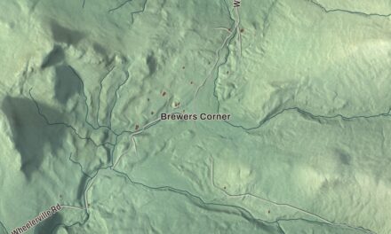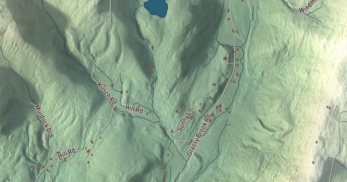
Grassy Brook Road runs past almost everything Brookline is known for: the town office, the 1836 Baptist church and the round brick schoolhouse. This map prints Grassy Brook Road along with Kirsch Road, Windmill Hill Trail, Hill Road, Putney Mountain Road and Ellen Ware Road.
Brookline is a small town in Windham County, Vermont.
KNOWOL made this map in 2026 from public survey data and finished it in the style of an old atlas. United States Geological Survey elevation data gives it the shaded valley and the ridge along the east line of town, and the roads and the town line come from the Census Bureau. Brookline covers 12.9 square miles, all of it land, and it had 540 people at the 2020 census. Click here to purchase a print of this map for your wall.
A town named for its brook
Brookline was made in 1794 from parts of Putney and Athens, and John Hayward’s 1849 gazetteer says it took its name from Grassy Brook, which runs the whole length of the town from north to south. The town is about eight miles long and only one and a half to two and a half miles wide, with a deep valley down the middle, the brook at the bottom, and higher ground along the whole eastern side. The brook rises in Athens and empties into the West River near the southwest corner of town, where the West forms a short stretch of the boundary. Hayward counted the first settlers as Cyrus Whitcomb Jr., David Ayres, Samuel Skinner and Jonah Moore, who came about 1777. A Baptist society formed in 1798, and its first minister, the Rev. Amos Beckwith, settled in 1802.
The young town had a curious start. According to the Vermont Legislature’s own record, Brookline was incorporated with an unconstitutional provision that it shouldn’t have a representative, and the town went along with it until 1823.
The Round Schoolhouse
Brookline’s best-known building stands on the west side of Grassy Brook Road, just south of where the road crosses the brook. In August 1821 the town bought a small lot for five dollars to replace a log school nearby, and the next year it built a round brick schoolhouse, a single room under a cone-shaped roof held together by an iron hoop. The plan came from Dr. John Wilson, a blacksmith’s son from Muirkirk, Scotland, known as “Thunderbolt.” He’s said to have been a highwayman in Scotland before he came to America in 1819, and in Brookline he became a doctor and a schoolteacher, serving here and in Newfane. The plaque on the building says he taught its first term, 60 pupils on benches facing the teacher’s desk by the door.
It’s the oldest brick schoolhouse in Windham County, and the plaque says it’s thought to be the only round schoolhouse ever built in this country. Children studied there until 1929, when a new school was built to meet state standards. The town then used the building as its town hall until 1989, and it was listed on the National Register of Historic Places in 1977.
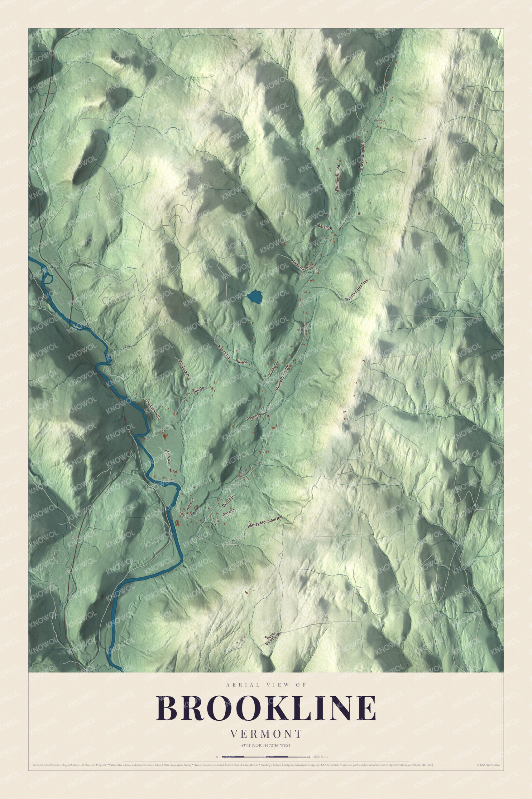
Click to explore a larger preview. The digital watermark does not appear on printed maps.
Names on this map
These names are printed on this map.
Streets and roads: Kirsch Road, Windmill Hill Trail, Grassy Brook Road, Hill Road, Putney Mountain Road, Ellen Ware Road, Whitney Hill Road, Merrill Drive, Greer Road, Murdock Drive, Papoose Lane, Marsh Drive.
More street names, A to Z
Bush Lane, Ginseng Lane, Howe Lane, Mountain Road, Parker Road, Purple Mountain Road, Sunny Lane.
See it on a wall
The Brookline map as a framed print. Swipe for more.


Down Grassy Brook Road
Down the road from the schoolhouse, at 632 Grassy Brook Road, stands the Brookline Baptist Church, built in 1836. Regular services ended in 1945, but the Ladies Benevolent Society kept caring for the building with bake sales, dinners and raffles. In 2014 Town Meeting voted to take it over, and in 2016 the townspeople renamed it the Brookline Meetinghouse. A preservationist who studied it said there were few churches in Vermont as unaltered. The town office is at 734 Grassy Brook Road, across from the schoolhouse. Kirsch Road, Windmill Hill Trail, Hill Road, Putney Mountain Road and Ellen Ware Road are all printed on the map as well.
This map of Brookline is a good fit for an office, library or den, and it can even help teach children the geography and history of one small valley town. It’s made for everyone who calls Brookline home and shows the town as it looks today, from one end of Grassy Brook Road to the other. KNOWOL created it in 2026, and it’s printed on museum quality archival paper. Zoom in on the preview above to explore the details, then click here to get your copy of the Brookline, Vermont map.

Sources
- Brookline, Vermont, Wikipedia
- Brookline, in John Hayward’s Gazetteer of Vermont (1849), USGenNet
- Town histories and representatives, B towns, Vermont Legislature
- Round Schoolhouse, Wikipedia
- Town Hall (Round Schoolhouse), SAH Archipedia
- Historic Round Schoolhouse, Town of Brookline
- Brookline Meetinghouse, Town of Brookline
- West River (Vermont), Wikipedia