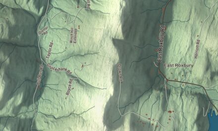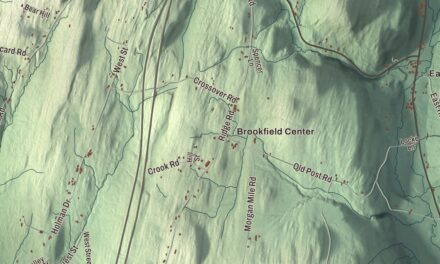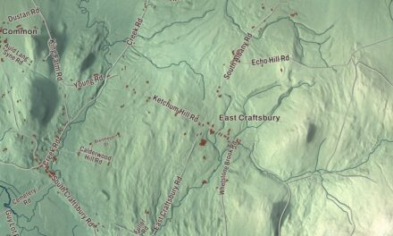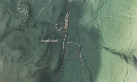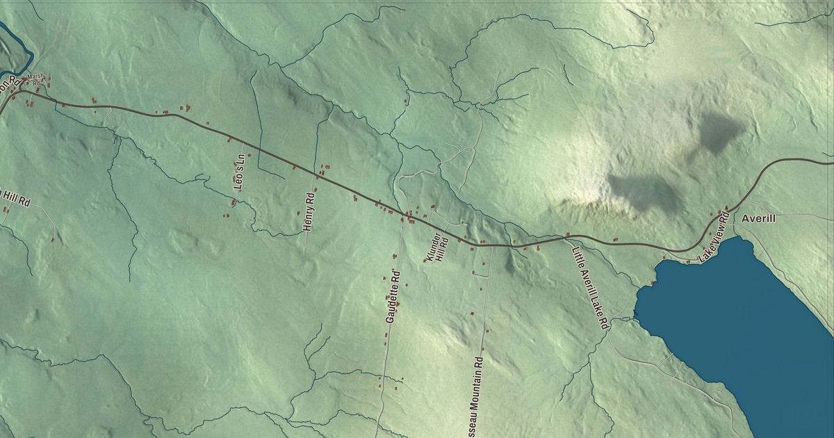
Norton sits in the northeast corner of Vermont, on the Quebec border just south of Stanhope, and Route 114 runs up the middle of the town from Norton Pond to the village of Norton by the boundary. This map prints Gaudette Road, Lake Station Road, Gagnon Road, Brousseau Mountain Road, Little Averill Lake Road and Church Hill Road, with Averill to the east.
Norton is a town in Essex County, Vermont.
KNOWOL made this map in 2026 from public survey data and gave it the look of an old county atlas, shading the hills from United States Geological Survey elevation data and drawing the roads and town line from the Census Bureau. The town covers 39.6 square miles, and 153 people lived here at the 2020 census. Click here to purchase a print of this map for your wall.
A late start on the border
Vermont granted Norton on October 26, 1779, but the town didn’t organize until March 6, 1885, and Magnus E. Nelson became its first representative in 1886. At the 2000 census, 26.9 percent of Norton’s households spoke French at home, a reflection of the town’s place on the Quebec line. Its highest point is Brousseau Mountain, 2,723 feet, near the eastern border.
The Coaticook River
The Coaticook River rises in Norton Pond and flows north about 4.2 miles through Norton before it crosses into Quebec, where its water travels by the Massawippi and Saint-François rivers to the St. Lawrence. A railroad and Route 114 follow the river on its east side up the valley. Its name comes from the Abenaki koatikeku, “river of the land of the white pine.” South of Norton Pond the same valley drains the other way, over a low height of land to the Pherrins River and the Clyde River at Island Pond.
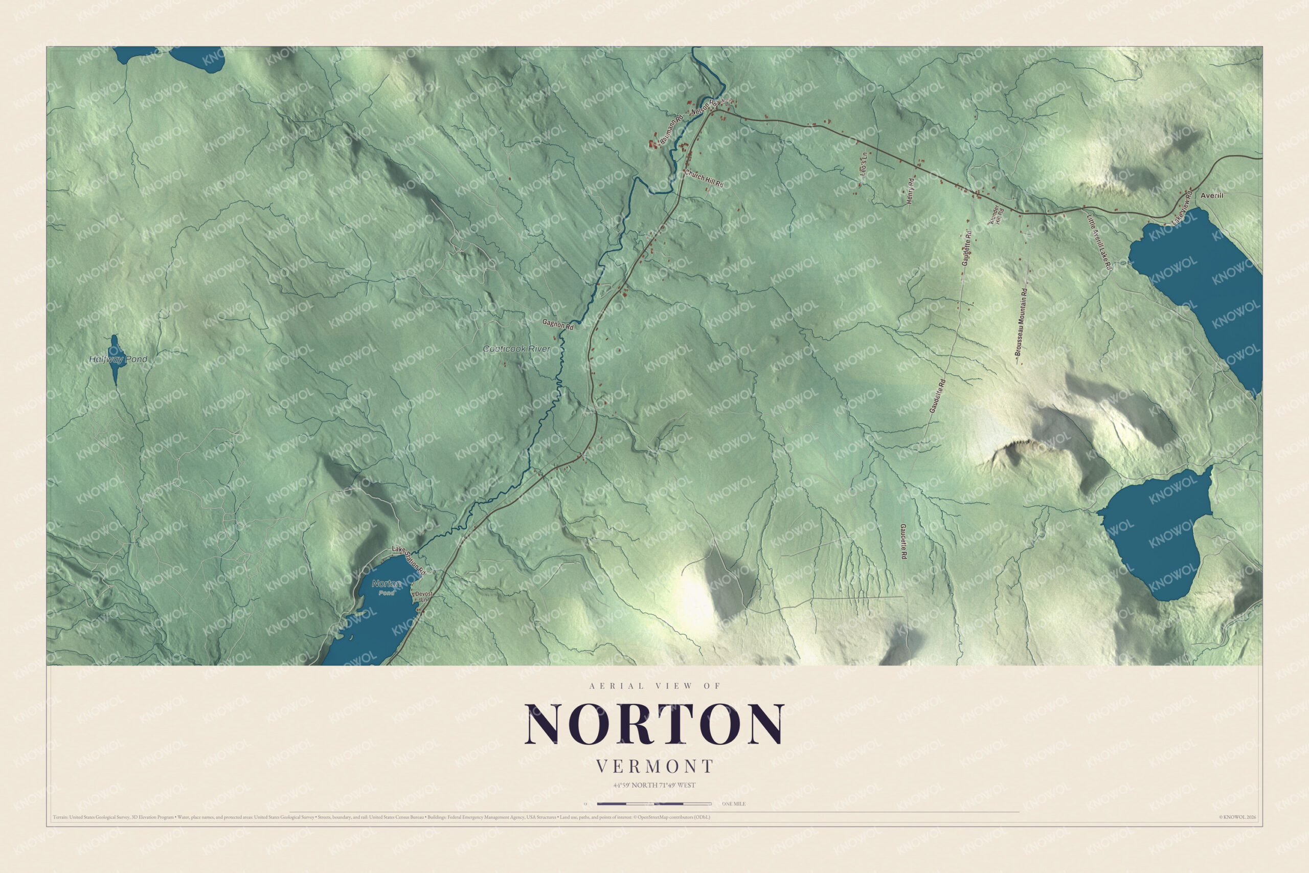
Click to explore a larger preview. The digital watermark does not appear on printed maps.
Names on this map
These names are printed on this map.
Places: Averill, Halfway Pond, Coaticook River and Norton Pond.
Streets and roads: Gaudette Road, Lake Station Road, Gagnon Road, Brousseau Mountain Road, Little Averill Lake Road, Church Hill Road, Lake View Road, Baumann Road, Henry Road, Nelson Road, Leo's Lane, Klunder Hill Road.
More street names, A to Z
Devost Lane, Marsh Road.
See it on a wall
The Norton map as a framed print. Swipe for more.


The border station
Route 147, only 0.145 miles long and entirely in Norton, runs from Route 114 to the Norton and Stanhope border crossing, the only crossing between the two communities. The United States station there, a Colonial Revival brick building of 1933, was built as part of a national push to improve border security in the automobile age, and it was listed on the National Register of Historic Places in 2014. It’s one of ten period border stations left in Vermont, the most of any state. The towns were once joined by a second road as well: Rue Principale in Quebec became Nelson Road on the Vermont side, and a general store stood right on the boundary there with two cash registers, one for each country’s customers. That crossing was blocked with bollards in 2015, and the store was demolished in 2021.
Earth Peoples Park
In 1970 a nonprofit trust bought 592 acres of swamp and woods in Norton, sight unseen, from a mail-order land catalog for $38,000, with some of the down payment raised at the 1969 Woodstock festival. Inspired by People’s Park in Berkeley, California, it called the land Earth Peoples Park and opened it to anyone who wanted to visit, camp or homestead there, rent-free. Its northern line ran along the Canadian border and its eastern edge along the Coaticook River, and people lived there with wood stoves and kerosene lamps, drawing water from Black Turn Brook or the river. The state received the land in 1994, and it’s now Black Turn Brook State Forest, open for hiking, hunting, primitive camping and cross-country skiing.
Averill, to the east, is a separate town that was never formally incorporated. Route 114 leads into it from Norton, passing north of Great Averill Pond, and a sawmill built in Norton in the 1870s helped Averill grow to 48 residents by 1880.
On the map, start at Averill, then follow Gaudette Road, Lake Station Road, Gagnon Road, Brousseau Mountain Road, Little Averill Lake Road and Church Hill Road. Halfway Pond and the Coaticook River are printed. Norton dates to 1779.
This map of Norton is made for everyone who calls Norton home, and it shows the town as it looks today, from Norton Pond to the Canadian line. Hang it in an office, library or den, or use it to teach children the geography and history of their town. It’s printed on museum quality archival paper. Zoom in on the preview above to explore the details, then click here to get your copy of the Norton, Vermont map.

Sources