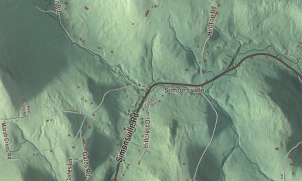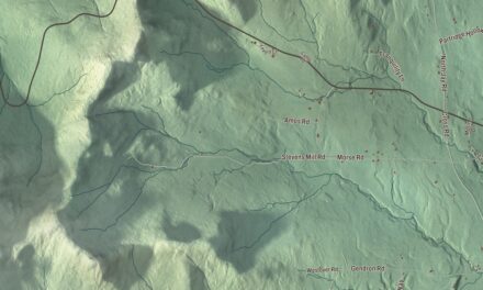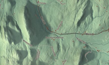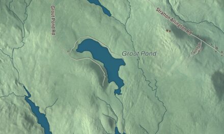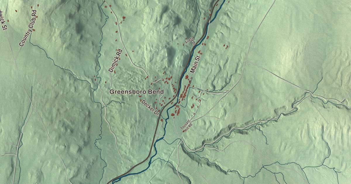
A summer colony of academics and artists gathered at Greensboro’s Caspian Lake in 1880, and cottages still ring the lake today. This map prints Caspian Lake, Lake Elligo, Long Pond and Horse Pond, with Greensboro Bend, East Greensboro, Campbells Corner, Gebbie Corner, The Four Corners and Tolman Corner, and roads such as Breezy Avenue and Eligo Lake Road.
Greensboro is a town in Orleans County, Vermont.
KNOWOL made this map in 2026 from public survey data and gave it the look of an old county atlas, shading the hills from United States Geological Survey elevation data and drawing the roads and town line from the Census Bureau. The town takes in Caspian Lake and most of Lake Eligo, and its water covers about 1.6 of its 39.4 square miles. Click here to purchase a print of this map for your wall.
A town built on two old roads
Vermont granted Greensboro in 1780 and chartered it on August 20, 1781. It’s named for Timothy Green, one of the men who received the charter, though the town page says there’s no evidence he ever came to see it, and his land was sold for unpaid taxes a few decades later. Only three of the original proprietors settled here. The road that made settlement possible came first. The Bayley Hazen Military Road, cut during the Revolution, passed west of Caspian Lake, and in 1779 a wooden blockhouse went up beside it on what’s still called Block House Hill. In the early 1790s Timothy Hinman built a second road that branched off the military road in Greensboro and ran north to Derby. The town page calls both roads of major importance to the settlement of northern Vermont. Greensboro organized in 1792 and sent Timothy Stanley to the legislature in 1795.
The lake brought summer people. In 1872 a modest boarding house for summer visitors opened on what’s now Breezy Avenue, overlooking the south end of Caspian Lake. When the colony took shape in 1880, that house, the Lakeview Inn, became one of its main meeting places; it grew over the next fifty years and is listed on the National Register. Local lore credits the critic and Atlantic Monthly editor Bliss Perry with starting the colony. Wallace Stegner, the Pulitzer Prize winning author, spent summers here and set a good number of his works in and around Greensboro, and William Rehnquist, later Chief Justice of the United States, bought a home in town where his family spent many vacations. The writer and reformer Anna E. Stoddard was born in Greensboro in 1852.
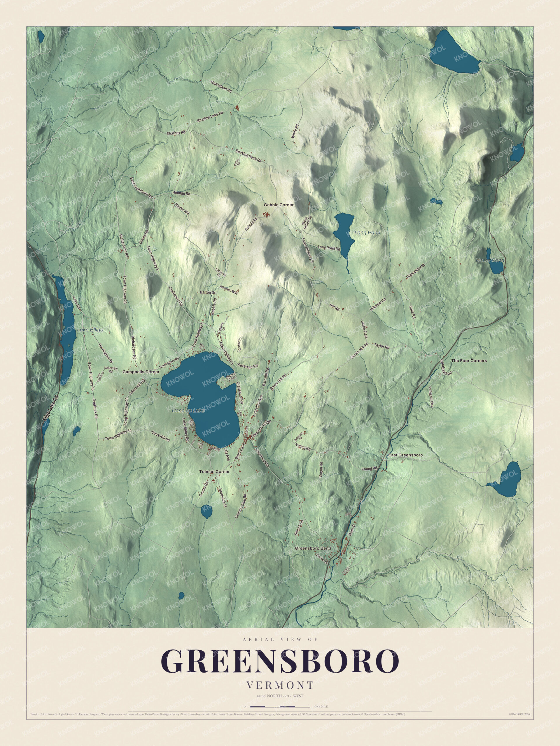
Click to explore a larger preview. The digital watermark does not appear on printed maps.
Names on this map
These names are printed on this map.
Places: Greensboro Bend, Caspian Lake, Lake Elligo, Long Pond, Horse Pond, Campbells Corner, East Greensboro, Gebbie Corner, The Four Corners and Tolman Corner.
Streets and roads: Eligo Lake Road, Garvin Hill Road, Taylor Road, Cemetery Ridge, Sparhawk Road, Breezy Avenue, Lauredon Avenue, Baker Hill Road, Jaffin Flats, Hillcrest Road, Lake Shore Road, Town Highway 8.
More street names, A to Z
Als Avenue, Atherton Way, Barre Boulevard, Barr Hill Road, Barton Drive, Blacks Point, Center Road, Circus Road, Collier Road, Cook Hill Road, Country Club Road, Craftsbury Road, Decker Drive, Dimick Road, East Craftsbury Road, Edsal Hill Road, Firefly Drive, Gebbie Road, Grays Drive, Hanks Hill, Hardwick Street, Harrington Road, Highlander Street, Hill Road, Hinman Road, Ilas Road, Lake Road, Lakeview Road, Lapierre Lane, Lazy Lane, Long Pond Road, Main Street, Miller Road, Mud Island Road, North Shore Road, Overlook Road, Pasture Lane, Pellegrini Pike, Poplar Lane, Randolph Road, Reservoir Road, Richardson Road, Robinson Road, Rocking Rock Road, Salls Road, Shadow Lake Road, Shatney Road, Skunk Hollow Road, The Bend Road, Tousant Hill Road, Town Highway 1, Town Highway 5, Town Highway 23, Town Highway 45, Town Highway 47, Town Highway 49, Town Highway 52, Vogan Road, White Road, Wilson Street, Young Road.
See it on a wall
The Greensboro map as a framed print. Swipe for more.


Greensboro Bend and the farms
Greensboro Bend, in the south end of town, got its name from the railroad. The Portland and Ogdensburg Railroad built a station there about 1872 and laid a big semicircular loop in its line to reach Greensboro. The passenger and freight buildings still stand on Main Street beside the Lamoille River, and the old line is now a multi-use trail. In 2010 Shaun Hill opened Hill Farmstead Brewery in Greensboro Bend, and the RateBeer community has named it the best brewery in the world in several years since. In 1999 the brothers Andy and Mateo Kehler bought the land known locally as the Jasper Hill farm, and Jasper Hill Farm cheeses went on sale in 2003. Their Bayley Hazen Blue was served at a White House state dinner in 2014 and that year won Super Gold and the title of world’s best unpasteurized cheese at the World Cheese Awards. Greensboro is also home to Circus Smirkus, the youth circus Rob Mermin founded here in 1987.
On the map, start on Breezy Avenue by the south end of Caspian Lake, then take Lauredon Avenue, Sparhawk Road and Taylor Road. Eligo Lake Road and Garvin Hill Road are printed too. Look for Greensboro Bend and Campbells Corner, then East Greensboro, Gebbie Corner, The Four Corners and Tolman Corner, with Lake Elligo, Long Pond and Horse Pond among the waters. Greensboro dates to 1781.
This map of Greensboro is made for everyone who calls Greensboro home, and it shows the town as it looks today, from Greensboro Bend to Caspian Lake. Hang it in an office, library or den, or use it to teach children the geography and history of their town. It’s printed on museum quality archival paper. Zoom in on the preview above to explore the details, then click here to get your copy of the Greensboro, Vermont map.

Sources
- Greensboro, Vermont, Wikipedia
- Town histories and representatives, G towns, Vermont Legislature
- Bayley Hazen Military Road, Wikipedia
- Hinman Settler Road, Wikipedia
- Lakeview Inn, Wikipedia
- Bliss Perry, Wikipedia
- Wallace Stegner, Wikipedia
- William Rehnquist, Wikipedia
- Anna E. Stoddard, Wikipedia
- Greensboro Depot, Wikipedia
- Hill Farmstead Brewery, Wikipedia
- Jasper Hill Farm, Wikipedia
- Circus Smirkus, Wikipedia