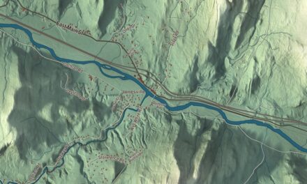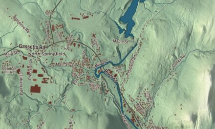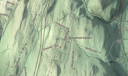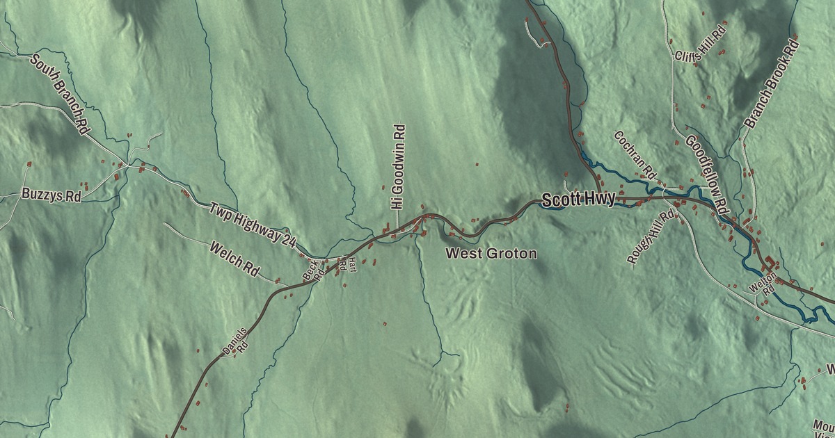
If you know Groton, you know the state forest and its ponds, and you know Scott Highway, the stretch of U.S. Route 302 that runs through the village. This map prints Scott Highway, Main Street, State Forest Road, Minard Hill Road, Powder Spring Road and Buzzys Road, with West Groton, Ricker Mills, Lakeside, Lake Groton, Kettle Pond, Ricker Pond and Pigeon Pond.
Groton is a town in Caledonia County, Vermont.
KNOWOL made this map in 2026 from public survey data and gave it the look of an old county atlas, shading the hills from United States Geological Survey elevation data and drawing the roads and town line from the Census Bureau. Groton fills the southwest corner of Caledonia County, and its highest point is Signal Mountain, at 3,352 feet, near the town’s southwest corner. Click here to purchase a print of this map for your wall.
Mills at the pond
Vermont granted Groton on November 7, 1780, chartered it on October 20, 1789, and saw the town organize in 1797. Some say it’s named for Groton, Massachusetts, and others for Groton, Connecticut. One of the town’s first settlers, Edmund Morse, built a sawmill and a gristmill at the outlet of Ricker Pond in 1783. He sold them to Amaziah Ricker in 1827, and the Ricker family kept the mills running until 1963. That outlet is also where the Wells River begins. The river runs about 15 miles southeast to the Connecticut, and U.S. Route 302 follows it for most of the way.
Groton village lies along that highway in the southeast corner of town, and two of its buildings are on the National Register. The J. R. Darling Store, at 1334 Scott Highway near Powder Spring Road, went up about 1895 on a site with a long history of trade, and it was Groton’s last general store. Its neighbor at 1304 Scott Highway began as a tavern where town meetings were held; in 1877 the businessman J. R. Darling moved it next door, and today, as the Alice Lord Goodine House, it holds the Groton Free Public Library. Groton keeps its own traditions too, the Groton Fall Festival and the Fall Foliage Chicken Pie among them. The town’s people include William Scott, born in Groton, the Vermont private whose pardon by Abraham Lincoln became the subject of the poem and the 1914 film The Sleeping Sentinel.
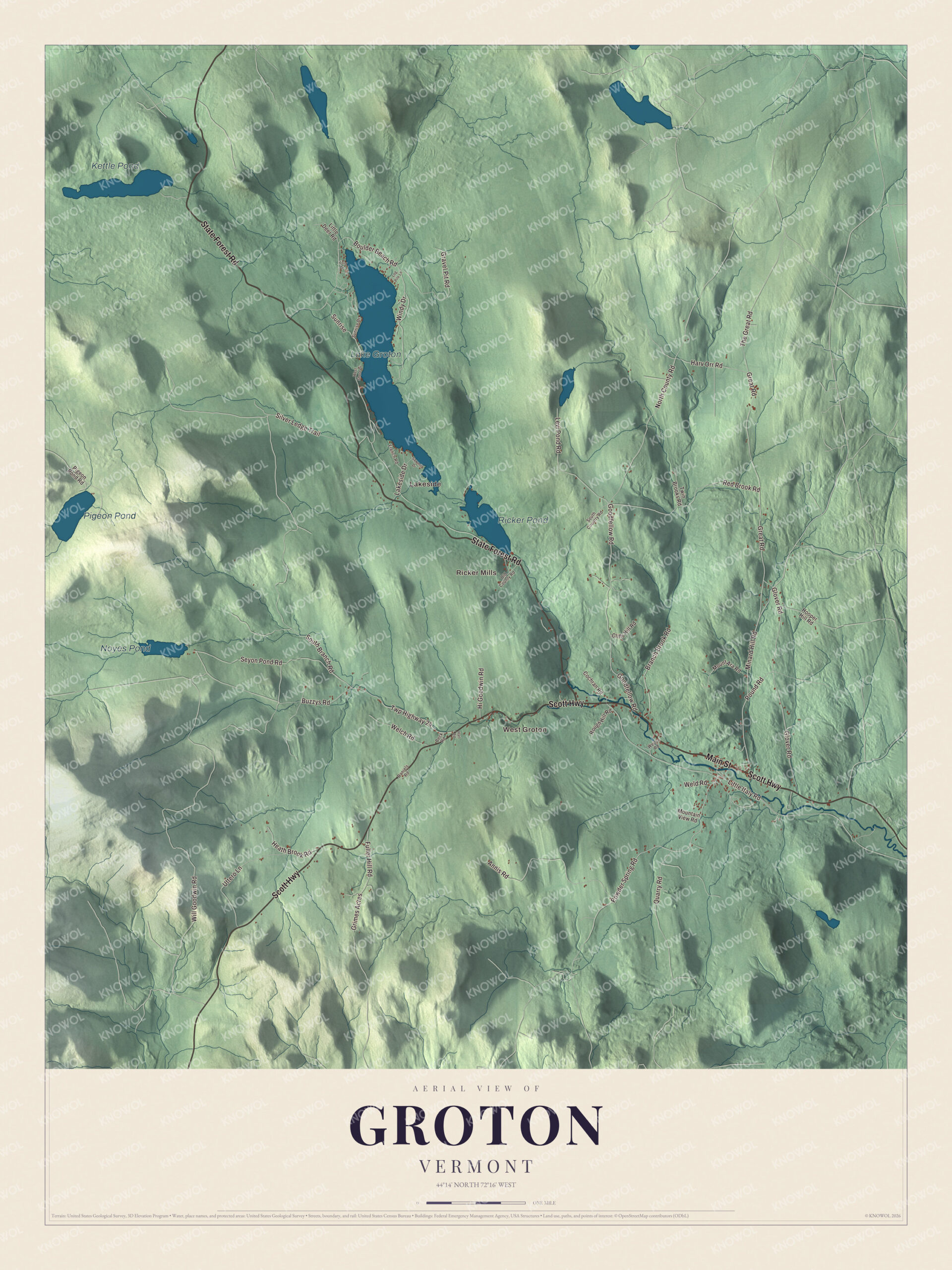
Click to explore a larger preview. The digital watermark does not appear on printed maps.
Names on this map
These names are printed on this map.
Places: West Groton, Ricker Mills, Lakeside, Lake Groton, Kettle Pond, Ricker Pond, Pigeon Pond and Noyes Pond.
Streets and roads: State Forest Road, Main Street, Scott Highway, Minard Hill Road, Powder Spring Road, Twp Highway 24, Buzzys Road, North County Road, Glover Road, Boulder Beach Road, Will Goodwin Road, Seyon Pond Road.
More street names, A to Z
Annis Road, Beck Road, Branch Brook Road, Cliffs Hill Road, Cochran Road, Daniels Road, French Road, Fuller Hill Road, Goodfellow Road, Gravel Pit Road, Great Road, Grimes Acres, Hart Road, Harv Orr Road, Heath Brook Road, Hi Goodwin Road, Hooper Hill Road, Lakeside Drive, Levi Pond Road, Little Deer Road, Little Italy Road, Log Pile Lane, Lord Drive, Mountain View Road, Mount Ara Road, Old County Road, Pigeon Pond Road, Pound Road, Quarry Road, Red Brook Road, Rough Hill Road, Sawmill Drive, Silver Ledge Trail, South Branch Road, South Country Road, Sunrise, Sunrise Drive, The Great Road, Twin Brooks Road, Uttero Lane, Welch Road, Weld Road, Welton Road, West Shore Drive, Windy Drive.
See it on a wall
The Groton map as a framed print. Swipe for more.


The state forest
Groton State Forest covers most of the western third of town. The state began buying the land in 1919, and in the 1930s crews of the Civilian Conservation Corps built roads, trails and picnic shelters there, along with Vermont Route 232. Ricker Pond State Park, on the 95-acre pond, opened in 1933, and the CCC developed Stillwater State Park on Lake Groton in 1938; both are on the National Register for their surviving CCC work. Lake Groton, at 422 acres, also has Boulder Beach State Park on its western shore, and Big Deer State Park and the Groton Nature Center sit nearby. Kettle Pond covers 109 acres. The Montpelier and Wells River Rail Trail, part of the Cross Vermont Trail, runs through the middle of the Ricker Pond park.
On the map, follow Scott Highway through the village past Powder Spring Road, then pick up Main Street, Minard Hill Road and Buzzys Road. State Forest Road is printed as well. West Groton, Ricker Mills and Lakeside are printed, and so are Lake Groton, Kettle Pond, Ricker Pond and Pigeon Pond. Groton dates to 1789.
This map of Groton is made for everyone who calls Groton home, and it shows the town as it looks today, from West Groton to Lake Groton. Hang it in an office, library or den, or use it to teach children the geography and history of their town. It’s printed on museum quality archival paper. Zoom in on the preview above to explore the details, then click here to get your copy of the Groton, Vermont map.

Sources
- Groton, Vermont, Wikipedia
- Town histories and representatives, G towns, Vermont Legislature
- Ricker Pond State Park, Wikipedia
- Wells River (Vermont), Wikipedia
- J. R. Darling Store, Wikipedia
- Alice Lord Goodine House, Wikipedia
- The Sleeping Sentinel, Wikipedia
- Groton State Forest, Wikipedia
- Stillwater State Park, Wikipedia
- Boulder Beach State Park, Wikipedia