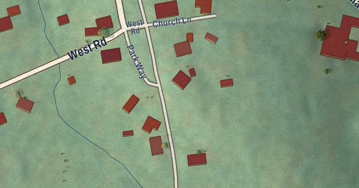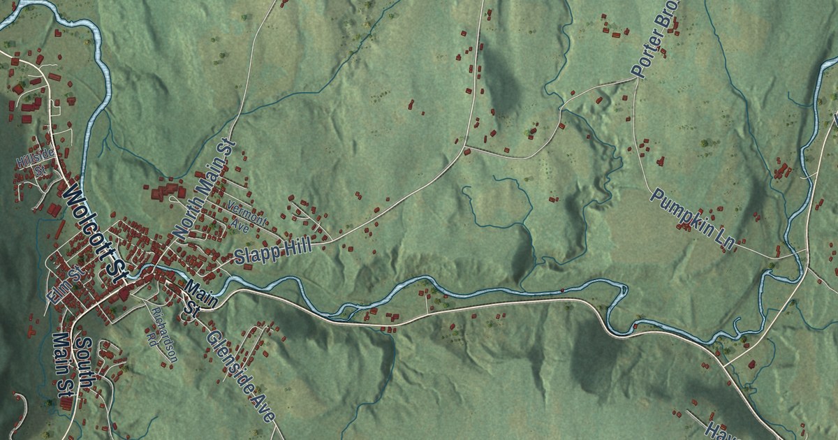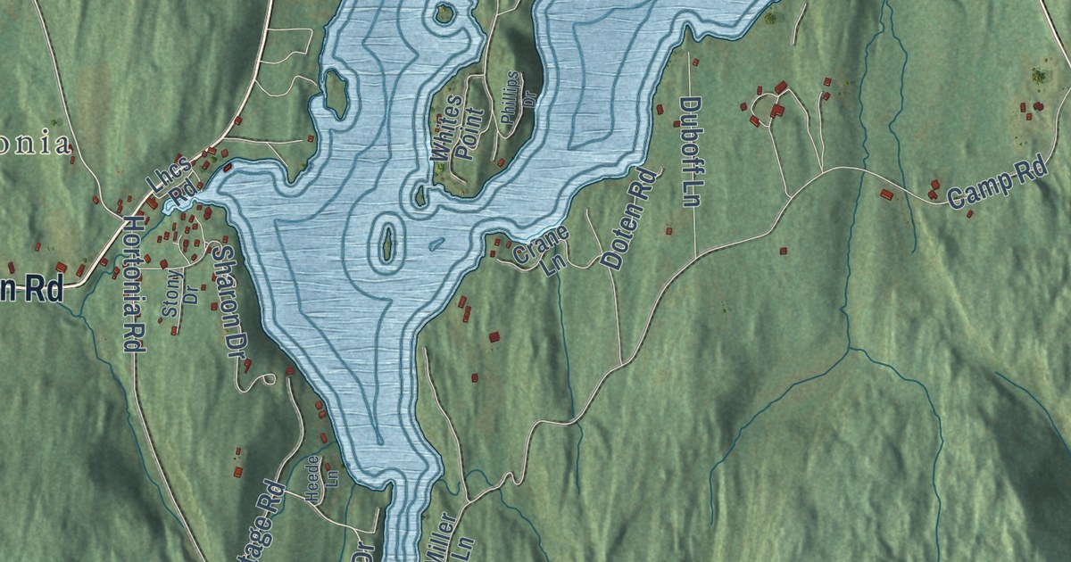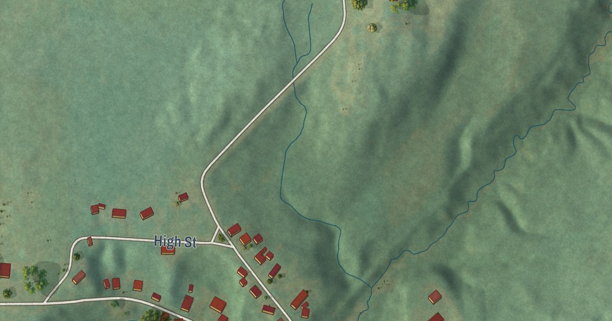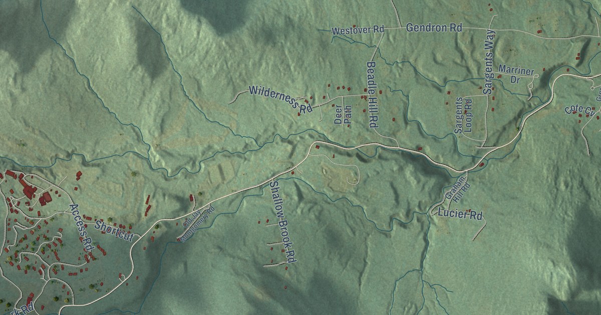
This beautifully detailed map of Jay, Vermont was created in 2026 using aerial imagery combined with modern topographical, census, street and landmark data. It’s a one-of-a-kind view of Jay that combines accurate data with a vintage aesthetic. The map shows every building in its true location, many of the roads carry their names, and the shaded topographic relief shows the shape of the land.
Explore an aerial view of Jay, Vermont
On the map you’ll find North Jay Road, East Richford Slide Road, Cross Road, Stevens Mill Road, Morse Road, Gendron Road, Revoir Flat Road, Access Road, Journeys End Road, Mayhew Road, West Jay Road, Bell Road, and more. If you look closely you can even find your house accurately drawn in its correct location. Zoom in on the preview to look for yours.
Did you know this about Jay, Vermont?
Jay lies on the Canadian border in Orleans County. The town took its name from John Jay, one of America’s Founding Fathers. Its highest point is North Jay Peak, which rises 3,438 feet above sea level.
Take a closer look at the Jay map
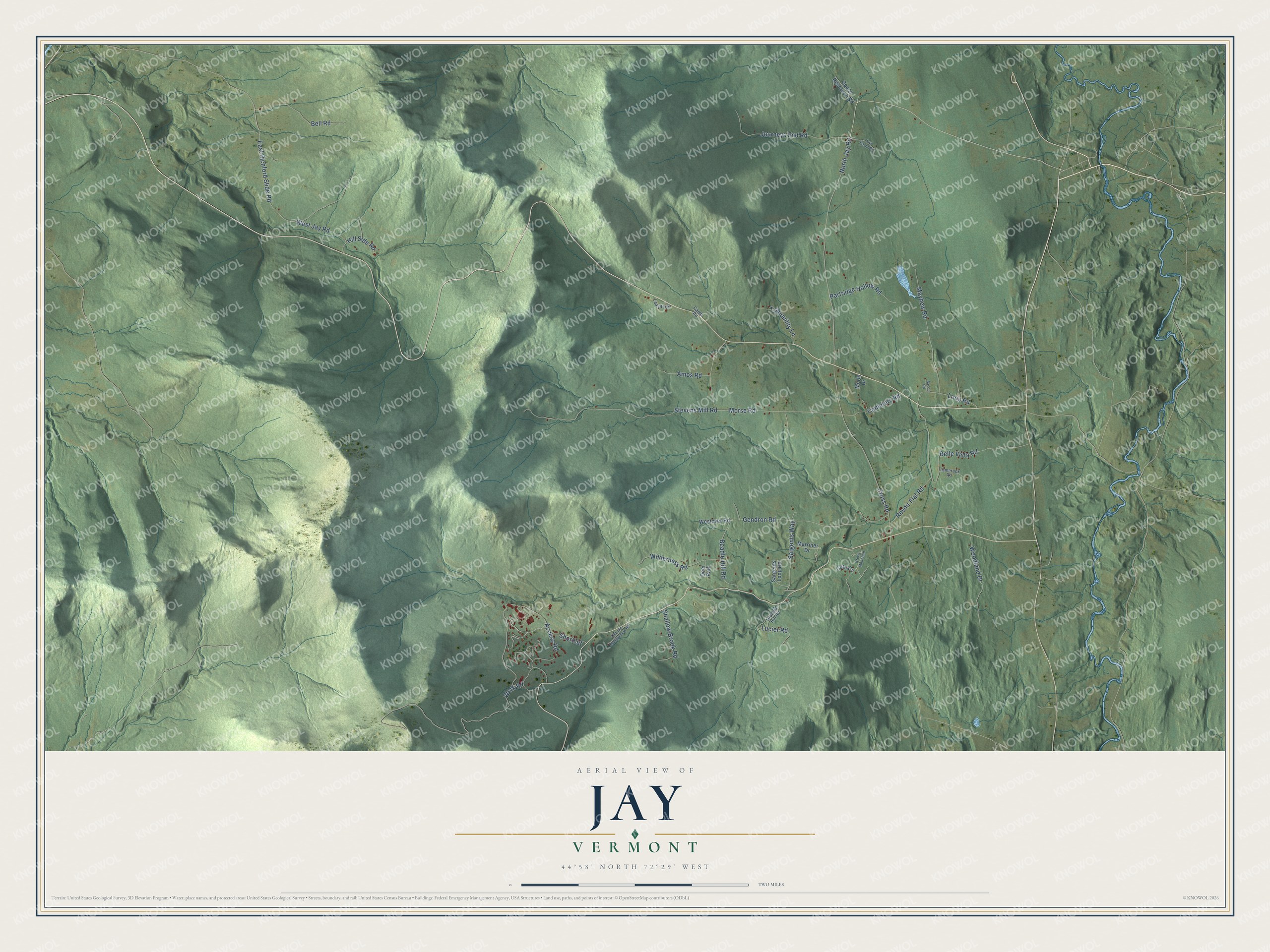
Click to explore a larger preview. The digital watermark does not appear on printed maps.
Street names on the Jay, Vermont map
These names are printed on the map of Jay, Vermont.
Streets and roads: North Jay Road, East Richford Slide Road, Cross Road, Stevens Mill Road, Morse Road, Gendron Road, Revoir Flat Road, Access Road, Journeys End Road, Mayhew Road, West Jay Road, Bell Road.
More street names, A to Z
Amos Road, Bacon Road, Beadle Hill Road, Belle Vista Road, Camp Road, Cemetery Road, Cote Cv, Cyr Farm Road, Deer Path, Graham Hill Road, Green Mountain, Hill Side Road, Leavitt Circle, Loop Road, Lucier Road, Marriner Drive, Morin Drive, Old Jay Montgomery Road, Partridge Hollow Road, Sargents Loop Road, Sargents Way, Shallow Brook Road, Shortcut, Space Research Road, Tamarack Road, Tranquility Lane, Westover Road, Wilderness Road, Woodland Drive, Work Road.
See the Jay, Vermont map on a wall
The Jay map as an 18 x 24 inch print in a black frame.

This beautifully detailed map of Jay makes an attractive addition to your office, library, or den, and it can even be used to teach children the geography and history of the area. It also makes a great gift for anyone with Jay roots. When you’re done exploring, click here to get your copy of the Jay map.