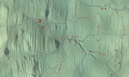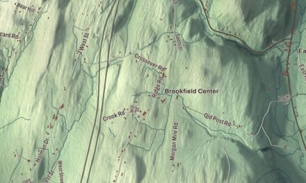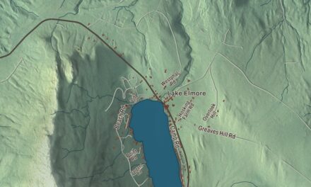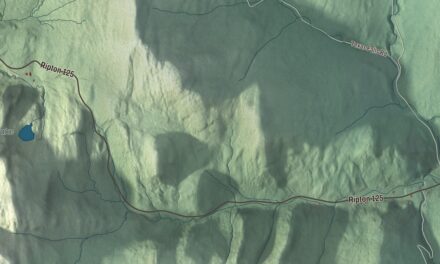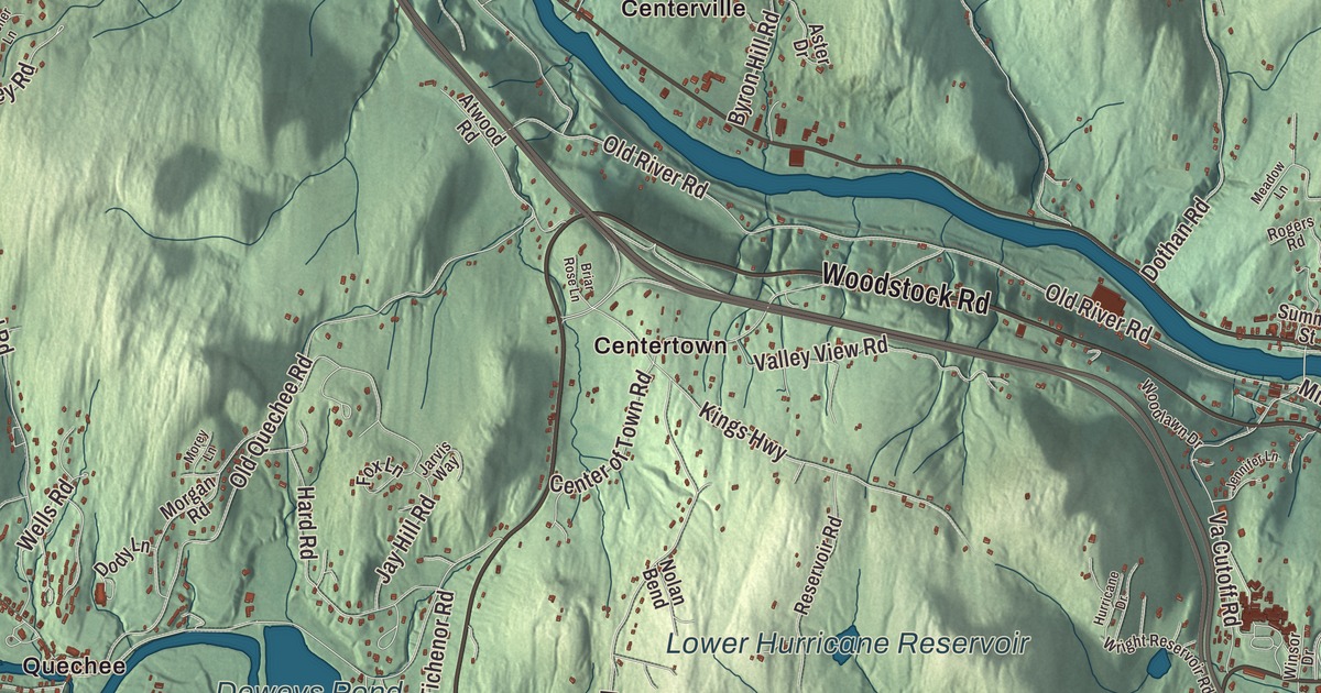
Hartford is made up of five villages, Hartford, Quechee, West Hartford, White River Junction and Wilder, and it’s the town where the White River meets the Connecticut. This map prints Hartford Avenue, Taft Avenue, North Main Street, Christian Street, Maple Street and Woodstock Road, with Centertown and Centerville, Deweys Mills, Dothan, Jericho, Quechee and Russtown, and the waters of Deweys Pond, Lake Pinneo, Lower Hurricane Reservoir and the Ottauquechee River.
Hartford is a town in Windsor County, Vermont.
KNOWOL made this map in 2026 from public survey data and gave it the look of an old county atlas, shading the hills from United States Geological Survey elevation data and drawing the roads and town line from the Census Bureau. Interstates 89 and 91 meet in Hartford, the Ottauquechee River flows through it, and 10,686 people lived here at the 2020 census. Click here to purchase a print of this map for your wall.
A junction town
New Hampshire’s governor, Benning Wentworth, granted Hartford on July 4, 1761, and it’s named for Hartford, Connecticut. Settlement began in 1763 near White River Junction, and by 1770 the Hazen family was farming along the Connecticut north of there. The stagecoach route through those farms is now Christian Street, signed there as U.S. Route 5, and the Christian Street Rural Historic District keeps ten houses built between about 1775 and 1900, a cemetery begun around 1778 and two farms held by the same families since the 18th century. Up the hill, the Jericho area was settled starting in 1781. Its 774 acres of farmland and woodlots, with nine historic farm complexes and an 1849 schoolhouse at Jericho Street and Jericho Road that’s now a community center, form the Jericho Rural Historic District.
Hartford village, first known as White River Village, was the town’s early center. It’s the birthplace of Horace Wells, the dentist who pioneered nitrous oxide, or laughing gas, as an anesthetic; in 1864 the American Dental Association honored him as the discoverer of modern anesthesia. The Hartford Library on Maple Street, built in 1893, is one of the oldest buildings in Vermont put up as a library. Samuel E. Pingree practiced law in Hartford, received the Medal of Honor for his bravery at Lee’s Mills in 1862, and later became governor. Then the railroads came. Five lines were built through White River Junction between 1847 and 1863, and until rail faded in the 1950s and 1960s it was the most important railroad community in Vermont. The Coolidge Hotel of 1924 stands where Samuel Nutt opened the first of three hotels on the site, and the historic district runs from its brick business blocks out along North Main and South Main streets. At Wilder, once called Olcott Falls, the paper mill owner Charles Wilder helped lay out an early planned village in the 1880s, and Hartford Avenue runs along its edge.
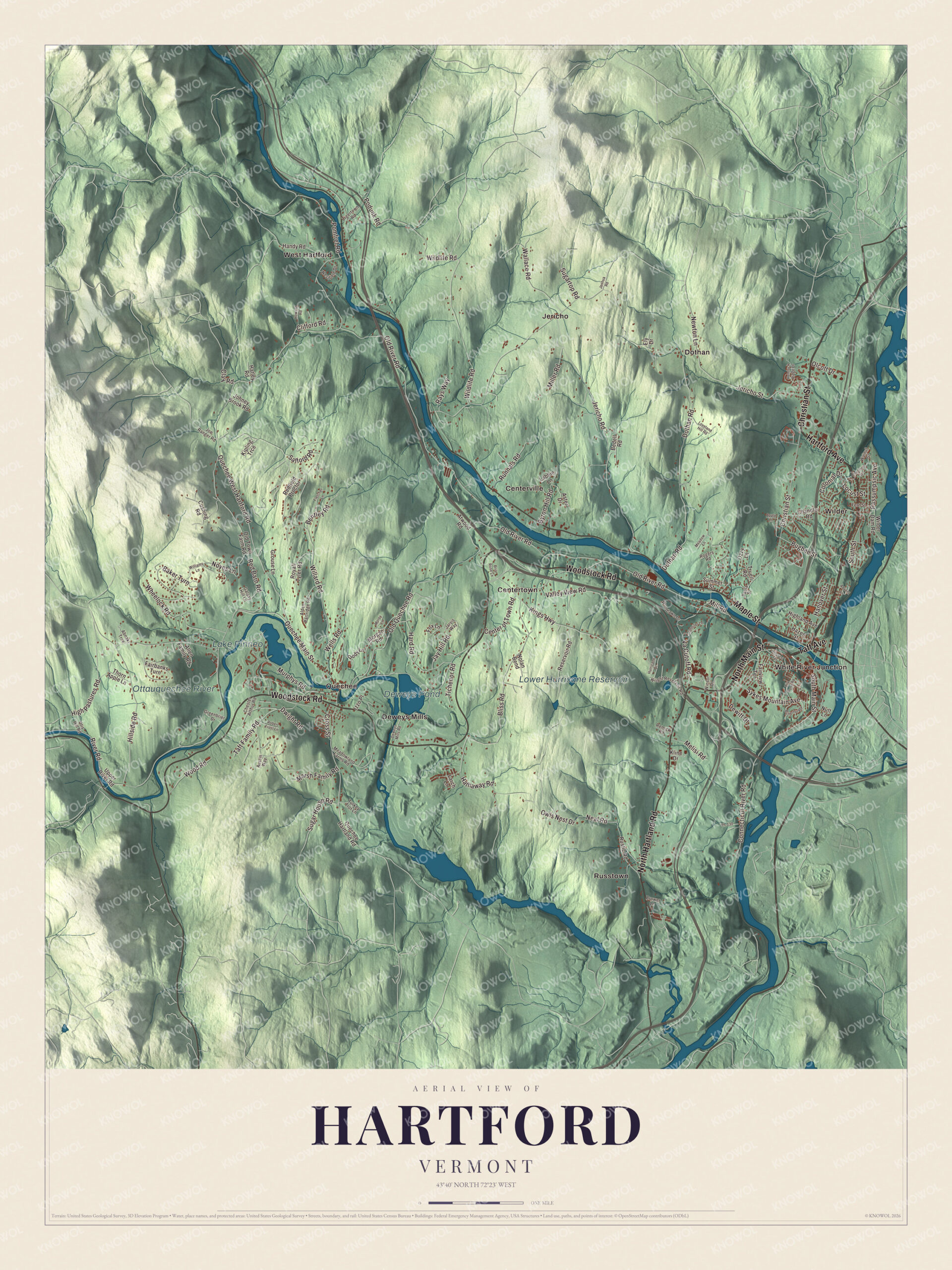
Click to explore a larger preview. The digital watermark does not appear on printed maps.
Names on this map
These names are printed on this map.
Places: Deweys Pond, Lake Pinneo, Lower Hurricane Reservoir, Ottauquechee River, Centertown, Centerville, Deweys Mills, Dothan, Jericho, Quechee, Russtown, West Hartford, White River Junction and Wilder.
Streets and roads: Hartford Avenue, Taft Avenue, North Main Street, Christian Street, Maple Street, Woodstock Road, North Hartland Road, Sykes Mountain Avenue, South Main Street, Sugar House Road, Quechee Main Street, Old River Road.
More street names, A to Z
Abnaki Trce, Advent Lane, Alden Partridge Road, Allen Family Road, Apple Lane, Aster Drive, Atwood Road, Austin Way, Baker Turn, Bedell Road, Bentley Road, Bliss Road, Briar Rose Lane, Brower Lane, Bugbee Street, Butternut Road, Byron Hill Road, Center of Town Road, Chandler Road, Chester Arthur Road, Chestnut Street, Clay Road, Clifford Road, Colonial Drive, Connecticut River Road, Cross Street, Cushing Road, Deweys Mills Road, Dewitt Drive, Dody Lane, Dothan Road, Dwight Road, Ely Drive, Fairbanks Turn, Fairview Terrace, Fern Street, Fletcher Lane, Fox Lane, Galaxy Hill Lane, Greenbrier Drive, Grouse Lane, Handy Road, Hanover Street, Hard Road, Hathaway Road, Hatley Road, Hazen Street, Hemlock Ridge Drive, Highland Avenue, High Pastures Road, Hillcrest Terrace, Hillside Road, Howard Road, Hurricane Drive, Izzo Place, Jarvis Way, Jay Hill Road, Jennifer Lane, Jericho Road, Jericho Street, Joe Ranger Road, Johney Brook Road, Joshua Road, Kings Highway, Kipling Trce, Kline Drive, Labbie Lane, Larch Lane, Lily Pond Road, Locust Street, Loveland Hill Road, Marsh Family Road, Meadowland Farms Road, Meadow Lane, Melisi Road, Miller Road, Mill Road, Morey Lane, Morgan Road, Murphys Road, Neal Road, Newton Lane, Nolan Bend, Noyes Lane, Nutt Lane, Olcott Drive, Old Quechee Road, Old Town Farm Road, Otis Hill Road, Owls Nest Drive, Ozzy Lane, Passumpsic Avenue, Paula Street, Podunk Road, Pomfret Road, Quechee Hartland Road, Quechee West Hartford Road, Rays Way, Red Barn Road, Redfield Proctor, Remick Road, Reservoir Road, River Road, Robert Frost Lane, Rogers Road, Royall Tyler Road, Runnals Road, Rustic Road, Safford Road, South Street, Sugartop Road, Summer Street, Taft Family Road, Th-130, Thorn Apple Lane, Tichenor Road, Tigertown Road, Truell Road, Turkey Trot Lane, Upper River Road, Va Cutoff Road, Valley View Road, Wallace Road, Walnut Street, Wells Road, Westfield Drive, Wheelock Road, Wilder Dam Road, Wildlife Road, Willard Road, Williams Lane, Winsor Drive, Woodlawn Drive, Wood Road, Wright Reservoir Road.
See it on a wall
The Hartford map as a framed print. Swipe for more.


Quechee and Deweys Mills
Quechee grew up at the falls of the Ottauquechee River. The town set aside land near the falls in 1765, there were mills by the 1770s, and later the mills made woolen flannel; the mill closed in 1951 and now holds a glassblowing studio. At the southeast edge of the village, Quechee Gorge drops 165 feet, and its page calls it the deepest gorge in Vermont. U.S. Route 4 crosses it on the Quechee Gorge Bridge, built in 1911 for the railroad and turned over to cars in 1933; it’s Vermont’s oldest surviving steel arch bridge. Joseph Marsh, one of Hartford’s first landholders, helped draft the constitution of the Vermont Republic in 1777 and became Vermont’s first lieutenant governor. His 1793 farmhouse on Quechee Main Street, near Deweys Pond, was moved for the North Hartland Dam flood control project and is now the Quechee Inn. On Deweys Mills Road, the mill owner A. G. Dewey built a house in 1876 looking over the river and the pond of his mills at Deweys Mills. The mills are gone, taken down in the 20th century for the Hartland Dam project, but the house still stands.
On the map, follow Christian Street and North Main Street, then Maple Street, Hartford Avenue and Taft Avenue. Woodstock Road heads west toward Quechee. Look for Centertown and Centerville, Deweys Mills, Dothan, Jericho and Russtown, and for Deweys Pond, Lake Pinneo, Lower Hurricane Reservoir and the Ottauquechee River. Hartford dates to 1761.
This map of Hartford is made for everyone who calls Hartford home, and it shows the town as it looks today, from Quechee to Christian Street. Hang it in an office, library or den, or use it to teach children the geography and history of their town. It’s printed on museum quality archival paper. Zoom in on the preview above to explore the details, then click here to get your copy of the Hartford, Vermont map.

Sources
- Hartford, Vermont, Wikipedia
- Town histories and representatives, H towns, Vermont Legislature
- Christian Street Rural Historic District, Wikipedia
- Jericho Rural Historic District, Wikipedia
- Hartford (village), Vermont, Wikipedia
- Horace Wells, Wikipedia
- Hartford Library, Wikipedia
- Samuel E. Pingree, Wikipedia
- White River Junction, Vermont, Wikipedia
- White River Junction Historic District, Wikipedia
- Wilder, Vermont, Wikipedia
- Quechee Historic Mill District, Wikipedia
- Quechee Gorge, Wikipedia
- Quechee Gorge Bridge, Wikipedia
- Joseph and Daniel Marsh House, Wikipedia
- Dewey House (Hartford, Vermont), Wikipedia