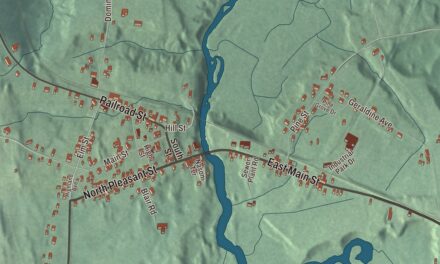
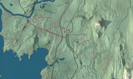
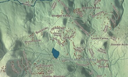
Hardwick was once known as the Building Granite Center of the World, and stone finished in its sheds went into a state capitol and city halls far from Vermont. This map prints Main Street, Wolcott Street, Glenside Avenue, Craftsbury Road, Center Road and Hardwick Street, with East Hardwick, Hardwick Center, Mackville and Hardwick Lake.
Hardwick is a town in Caledonia County, Vermont.
KNOWOL made this map in 2026 from public survey data and gave it the look of an old county atlas, shading the hills from United States Geological Survey elevation data and drawing the roads and town line from the Census Bureau. Hardwick is the westernmost town in Caledonia County, the Lamoille River drains it, and its highest point is Jeudevine Mountain, at 1,831 feet, in the town’s northern corner. Click here to purchase a print of this map for your wall.
Settled along the military road
Vermont granted the land on November 7, 1780, and chartered it on August 19, 1781, to Danforth Keyes and 66 others, some of them from Hardwick, Massachusetts. The Bayley-Hazen Military Road, built during the Revolution on George Washington’s orders, opened the way, and permanent settlement began in the 1790s; the town organized on March 7, 1795. Hardwick Street, part of the old military road in the eastern part of town, is where the historic district’s page puts the first settler, Asa Warner, who kept an inn and stagecoach tavern there. By 1810 the area had a post office and a general store. Eight farms along Hardwick Street and Bayley-Hazen Road, built between about 1810 and 1855, now form the Hardwick Street Historic District, along with the Hazen Road Cemetery and a stone marker a local Grange set up in 1906 to tell the road’s story.
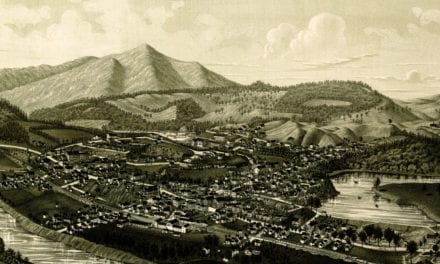
The village on the Lamoille River began in 1795, when John Bridgman built a sawmill and gristmill there, and it was first called South Hardwick. After the Civil War, granite became the town’s main business. The Portland and Ogdensburg Railway reached Hardwick in 1872, and while most of the stone came from quarries in neighboring Woodbury, it was cut and finished in Hardwick, much of it near Granite Junction, where the rail lines met. The Hardwick and Woodbury Railroad was chartered in 1894 to haul granite from the quarries to the sheds. By 1906 the industry employed 1,200 people, led by the Woodbury Granite Company, and the downtown district’s page says that by 1911 it was the largest granite-processing business in the world. Hardwick granite went into the Pennsylvania State Capitol, Chicago City Hall and the 1914 Post Office in Washington, D.C. The building at 143 Highland Avenue, a tenement put up about 1889 to house quarry and shed workers, is still standing and on the National Register.
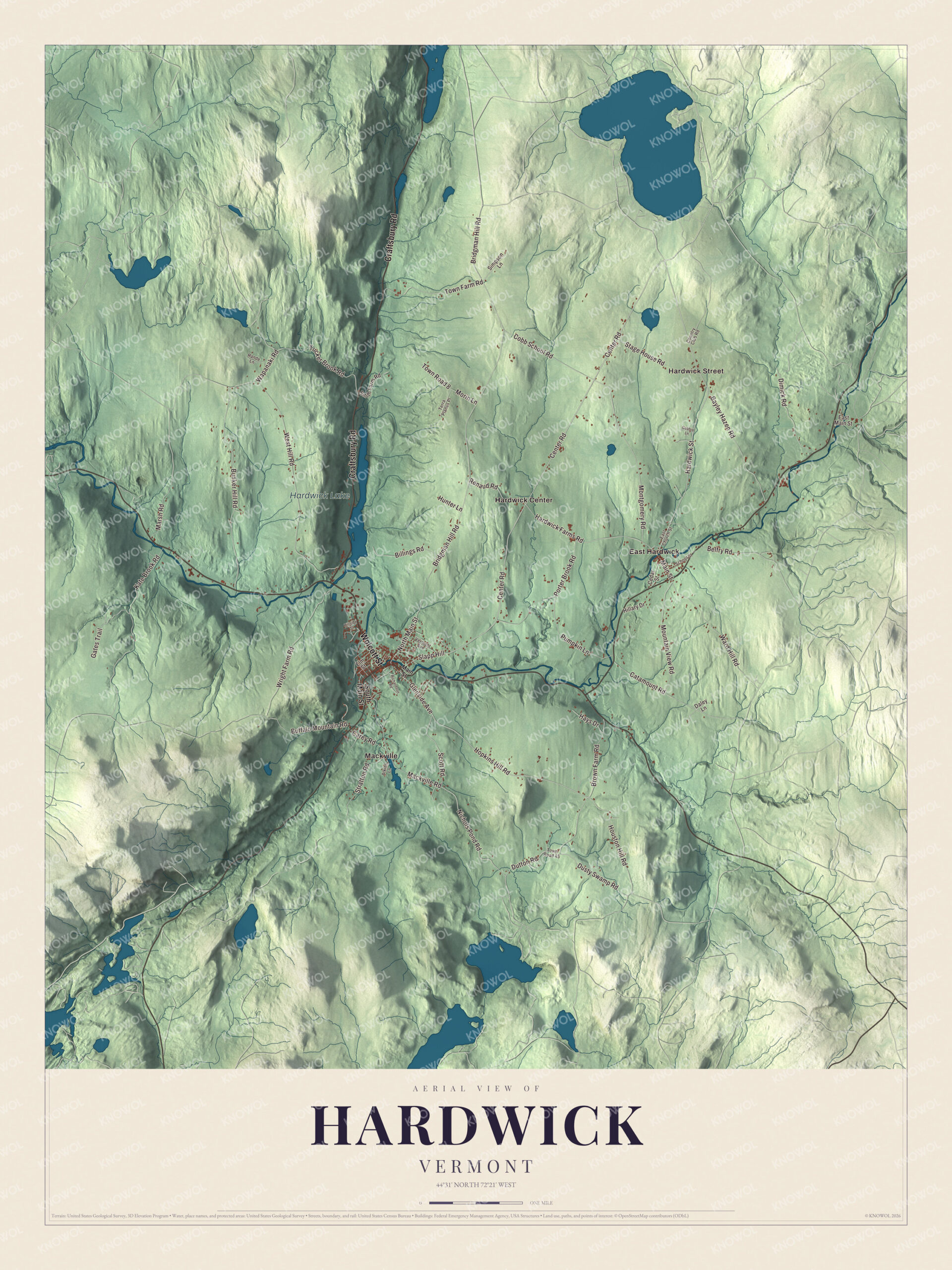
Click to explore a larger preview. The digital watermark does not appear on printed maps.
Names on this map
These names are printed on this map.
Places: Hardwick Lake, East Hardwick, Hardwick Center, Hardwick Street and Mackville.
Streets and roads: Craftsbury Road, Wolcott Street, Center Road, Glenside Avenue, Slapp Hill, Main Street, Scott Road, Hopkins Hill Road, Nichols Pond Road, Dutton Road, Dusty Swamp Road, Montgomery Road.
More street names, A to Z
Atkins Lane, Bayley Hazen Road, Belfry Road, Billings Road, Bridgman Hill Road, Brown Farm Road, Buffalo Mountain Road, Bunker Hill Road, Carey Road, Catamount Road, Cedar Street, Cobb School Road, Country Club Road, Daley Lane, Dimick Road, East Church Street, East Main Street, Elm Street, Gates Trail, Gebbie Lane, Hande Lane, Hardwick Farms Road, Hays Drive, Hillary Drive, Hillside Street, Houston Hill Road, Hunter Lane, Kate Brook Road, Mackville Road, Marsh Road, Morin Lane, Mountain View Road, North Main Street, Porter Brook Road, Pumpkin Lane, Renaud Road, Richardson Road, School Street, Simpson Lane, Smith Farm Road, South Main Street, Stage House Road, Stratton Road, Terra Planus Place, Town Farm Road, Town Road 8, Town Road 45, Tucker Brook Road, Vermont Avenue, Wapanaki Road, Ward Hill Road, West Hill Road, Wright Farm Road.
See it on a wall
The Hardwick map as a framed print. Swipe for more.


Main Street and East Hardwick
The Downtown Hardwick Village Historic District centers on a block of South Main Street between Wolcott Street and Main Street, and runs up Main Street to Church and Maple streets and along Mill Street. Its buildings show Greek Revival houses from 1820 to 1860, Second Empire commercial blocks of the 1870s, and the 1896 Jeudevine Memorial Library, which the district’s page calls probably the most sophisticated building in the village. The Hardwick Gazette, a weekly paper, has covered the town since 1889. In East Hardwick, the Caledonia No. 9 Grange Hall of 1909 at 88 East Church Street belongs to what its page calls the oldest Grange chapter in New England still working under its original charter. Out in the country, the Cobb School, a district schoolhouse of the 1840s at Cobb School Road and Bridgman Hill Road, taught children until 1946.
Hardwick’s people include Dorman Bridgman Eaton, born here in 1823, who drafted the Pendleton Civil Service Act of 1883 and chaired the United States Civil Service Commission. Lee E. Emerson, born in Hardwick in 1898, became the 69th governor of Vermont, and Catherine Cate Coblentz, also born in Hardwick, wrote children’s books; her The Blue Cat of Castle Town was a Newbery Honor book.
On the map, follow Main Street and Wolcott Street through the village, then Glenside Avenue, Craftsbury Road and Center Road, and find Hardwick Center. Hardwick Street runs through the eastern part of town, and East Hardwick, Mackville and Hardwick Lake are printed too. Hardwick dates to 1781.
This map of Hardwick is made for everyone who calls Hardwick home, and it shows the town as it looks today, from Mackville to East Hardwick. Hang it in an office, library or den, or use it to teach children the geography and history of their town. It’s printed on museum quality archival paper. Zoom in on the preview above to explore the details, then click here to get your copy of the Hardwick, Vermont map.

Sources
- Hardwick, Vermont, Wikipedia
- Town histories and representatives, H towns, Vermont Legislature
- Hardwick Street Historic District, Wikipedia
- Downtown Hardwick Village Historic District, Wikipedia
- Hardwick and Woodbury Railroad, Wikipedia
- Building at 143 Highland Avenue, Wikipedia
- Caledonia No. 9 Grange Hall, Wikipedia
- Cobb School, Wikipedia
- Dorman Bridgman Eaton, Wikipedia
- Lee E. Emerson, Wikipedia
- Catherine Cate Coblentz, Wikipedia