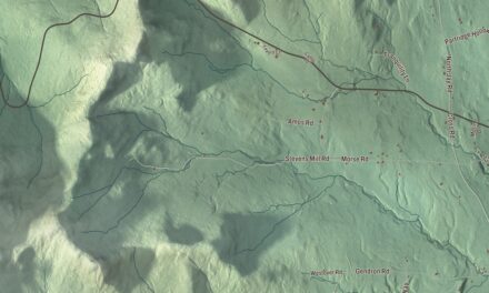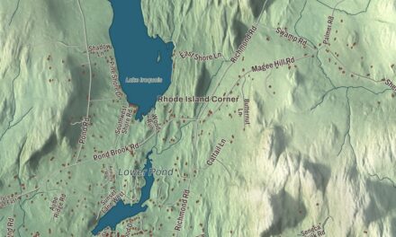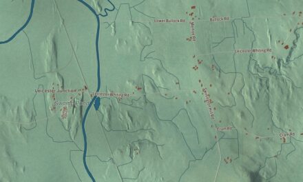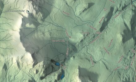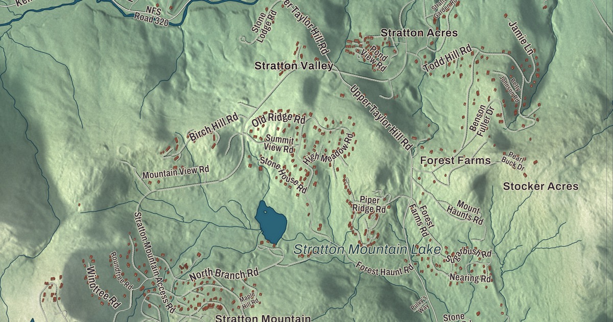
This aerial map of Winhall, Vermont was created in 2026 using real geographic data to bring the town’s streets, buildings, neighborhoods, ponds and waterways, and terrain together in one highly detailed view. Look closer and you can pick out the familiar places that make Winhall feel like home. Start with the street you know, then see how it connects to the rest of the Winhall you call home. Click here to purchase a print of this map for your wall.
Explore an aerial view of Winhall, Vermont
Start with Stocker Acres and Forest Farms. Follow Kendall Farm Road, Upper Taylor Hill Road, Lower Taylor Hill Road, River Road, Windtree Road, and Winhall Hollow Road across town. Then look outward toward Stratton Mountain, Bondville, French Hollow, Intervale, and Piper Ridge.
Gale Meadows Pond, Little Mud Pond, Little Pond, and Stratton Mountain Lake are all labeled on the map. Every one of those names is printed directly on the artwork, giving you plenty to explore.
Winhall dates to 1761. Winhall is a town in Bennington County. It remains a distinct town in Vermont today. Click the image below to see the area as it looked in 2026.
Take a closer look at the Winhall map
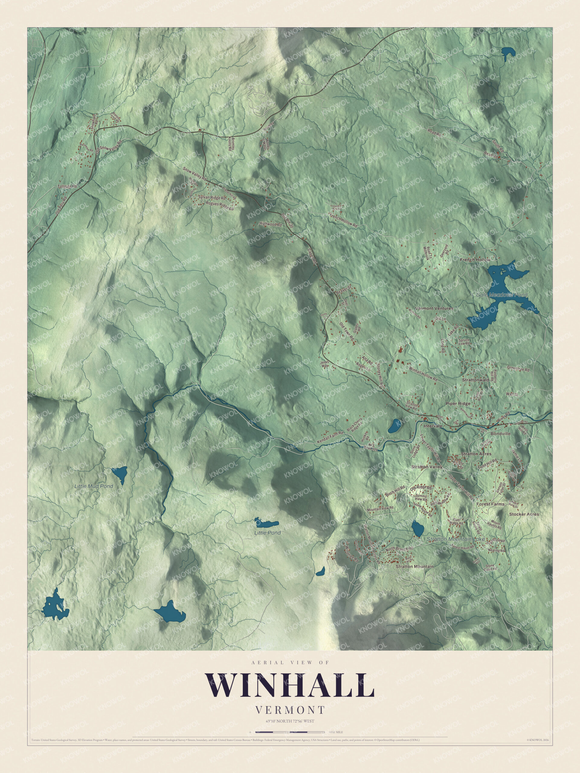
Click to explore a larger preview. The digital watermark does not appear on printed maps.
Names on this map
These names are printed on this map.
Places: Stocker Acres, Forest Farms, Stratton Mountain, Bondville, Gale Meadows Pond, Little Mud Pond, Little Pond, Stratton Mountain Lake, French Hollow, Intervale, Piper Ridge, Stratton Acres, Stratton Valley, Strattonwald and Vermont Ventures.
Streets and roads: Kendall Farm Road, Upper Taylor Hill Road, Lower Taylor Hill Road, River Road, Windtree Road, Winhall Hollow Road, French Hollow Road, Read Road, Old Town Road, Sylvan Ridge Road, Todd Hill Road, South Road.
More street names, A to Z
Alta Road, Ameden Road, Aspen Lane, Beaver Street, Benson Fuller Drive, Betty Johnson Road, Birch Hill Road, Black Cherry Ridge Road, Bromley, Bromley Forest Road, Bromley Knolls Road, Capen Road, Corey Lane, Deer Run Road, Deer Street, Deeryard Road, Forest Farms Road, Forest Haunt Road, Glendon Hills Road, Greentree Road, High Meadow Road, Highwood Road, Houston Road, Hunker Road, Jamie Lane, Jenks Way, Lake Road, Loop Road, Maple Hill Road, Mountain View Road, Mount Haunts Road, Nearing Road, NFS Road 320, North Branch Road, Old Lane, Old Peru Road, Old Ridge Road, Old Route 30, Old Snow Valley Road, Park Place, Pearl Buck Drive, Permelee Road, Piper Ridge Road, Pond View Road, Pulvy's Way, Rasberry Hill Road, Ravenwood Road, Road To Millbrook, Roberts Road, Rocky Road, Rogues Ridge Road, Roundtree Road, Short Road, Signal Hill Road, Slades Road, Snowflake Road, Snow Valley Road, Spruce Low Road, Stone Cabin Road, Stone House Road, Stone Lodge Road, Stoney Hill Road, Stratton Garden Road, Stratton Mountain Access Road, Stratton View Road, Sugarbush Road, Summit View Road, Tollgate Road, Wall Street, West Hill Road, Woods & Water, Wymans Road.
See it on a wall
The Winhall map as a framed print. Swipe for more.


We designed the artwork at KNOWOL using Winhall’s real streets, buildings, neighborhoods, ponds and waterways, and terrain, the town boundary, and the way buildings spread across the town. Then we chose the color, relief, lettering, and layout that make the map look great on the wall.
This beautifully detailed map of Winhall makes an attractive addition to your office, library, or den and can even be used to teach children the geography and history of the area. When you’re done exploring, click here to get your copy of the Winhall, Vermont map.