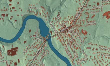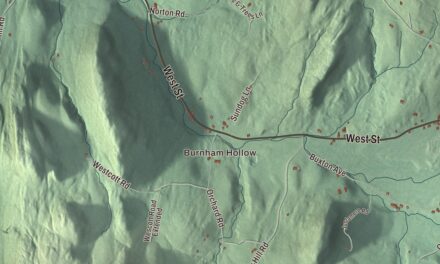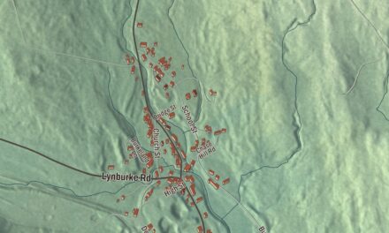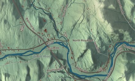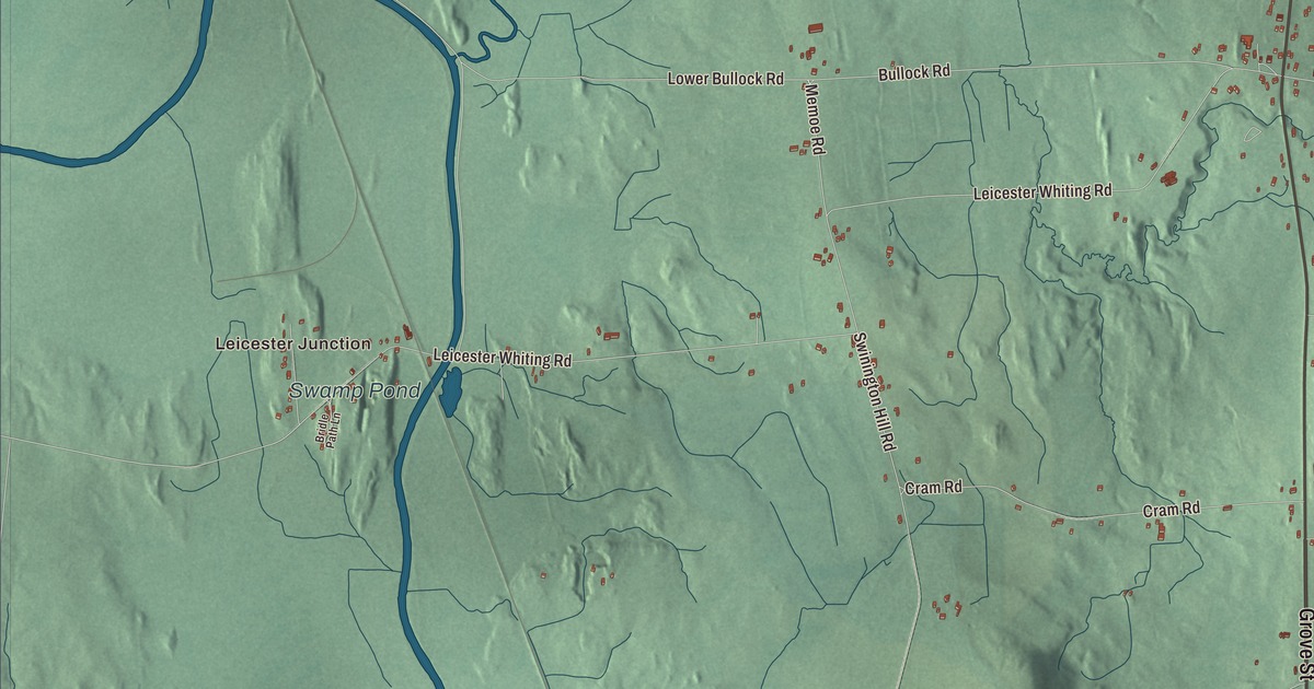
Say it the way people here do, “LEST-er.” U.S. Route 7 runs through the middle of Leicester, and the southern half of Lake Dunmore lies in the east of town. This map prints Lake Dunmore Road, Grove Street, Memoe Road, Shackett Road, Wheeler Road and Delorm Road, with Leicester Junction, Satans Kingdom and Fernville, and Lake Dunmore, Fern Lake, Silver Lake and Swamp Pond.
Leicester is a town in Addison County, Vermont.
KNOWOL made this map in 2026 from public survey data and gave it the look of an old county atlas, shading the hills from United States Geological Survey elevation data and drawing the roads and town line from the Census Bureau. Leicester sits on the southern border of Addison County at the western edge of the Green Mountains, and water covers about 0.93 of its 21.8 square miles. Click here to purchase a print of this map for your wall.
Four Corners
New Hampshire granted Leicester on October 20, 1761, and the town organized on March 29, 1786, sending John Smith to the legislature that year. Its small town center, known locally as Four Corners, is where Route 7 meets the Leicester-Whiting Road and Fern Lake Road, and three of its old buildings are on the National Register. The brick Leicester Meeting House was built in 1829 by a society formed to give several congregations a place to worship, and over the years Methodists, Congregationalists, Pentecostals and the Church of the Nazarene have all met there. Its bricks seem to have been made from clay found about half a mile away. Just west, on Schoolhouse Road, the School House and Town Hall went up after 1858, a district school downstairs with the town hall upstairs.
Across Route 7 stands the old Stagecoach Inn, probably begun as a store before 1830. Dr. William Gile, a local physician, finished it and opened it to travelers on the stagecoach route between Rutland and Vergennes, today’s Route 7, and it ran as an inn until 1859. Later it was a general store and post office, and now it’s a private home.
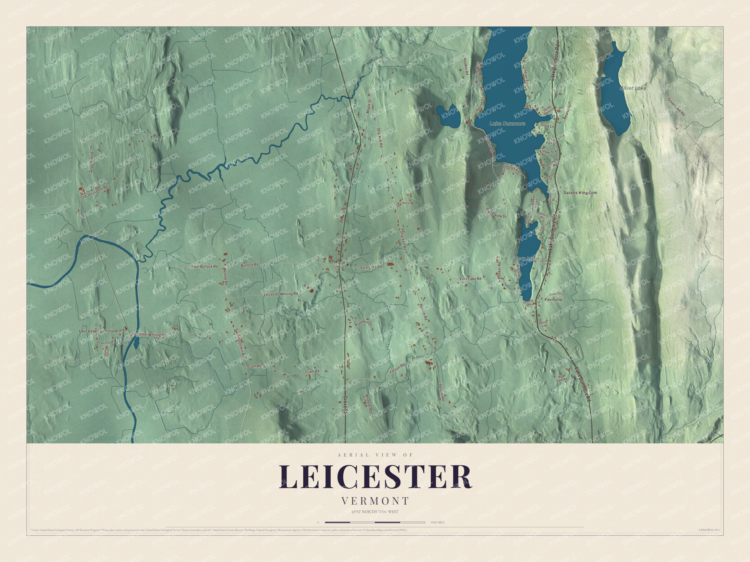
Click to explore a larger preview. The digital watermark does not appear on printed maps.
Names on this map
These names are printed on this map.
Places: Leicester Junction, Satans Kingdom, Fernville, Silver Lake, Fern Lake, Swamp Pond and Lake Dunmore.
Streets and roads: Lake Dunmore Road, Grove Street, Memoe Road, Shackett Road, Wheeler Road, Delorm Road, Leicester Whiting Road, Old Jerusalem Road, Hooker Road, Fern Lake Road, Bullock Road, Cram Road.
More street names, A to Z
Autumn Trail, Balsam Drive, Bearor Road, Bridle Path Lane, Dewey Road, Dogwood Drive, Dorie Lane, Ember Trail, Fernville Road, Ferson Road, Fox Lane, Glory Lane, Hideaway Trail, Indian Trail, Isthmus Drive, Lakeview Drive, Limecrest Lane, Lower Bullock Road, Maple Street, Mountainview Drive, Northend Point, Oak Hill Lane, Partridge Trail, Red Gate Road, Ridge View Drive, Sandy Point Lane, Silver Lake Road, Stonebroke Road, Swinington Hill Road, Westside Drive, Winding Way, Windy Knoll Lane.
See it on a wall
The Leicester map as a framed print. Swipe for more.


The lakes
Lake Dunmore Road is Vermont Route 53, and it runs north and south through the eastern part of town, through Satans Kingdom and Fernville. Satans Kingdom, near the south shore of Lake Dunmore and just north of Fern Lake, takes its name from rocky soil that was no good for farming. The lake covers 985 acres and is over 3 miles long, and Branbury State Park, with a sandy beach and campsites, sits on its eastern shore in Salisbury and Leicester. Sucker Brook, which feeds the lake, is part of a hydroelectric project that links Silver Lake and Sugar Hill Reservoir. Loons nest on the lake, and people have worked to protect them.
Leicester people
John Deere ran a blacksmith shop in Leicester before he left Vermont for Illinois in 1836, where the next year he made the first commercially successful steel plow. Warren S. Johnson, born in Leicester in 1847, invented a thermostat in 1883 and a system for controlling the temperature room by room, and the company he founded to make it became Johnson Controls. Henry Olin moved to Leicester in 1788 to practice law and served the town in the legislature for years before going to Congress and serving as lieutenant governor from 1827 to 1830. His son Stephen Olin, born in Leicester in 1797, became the first president of Randolph-Macon College and later president of Wesleyan University. Hiram Capron, born and raised in Leicester in a farming family, founded the town of Paris, Ontario.
On the map, follow Lake Dunmore Road past Satans Kingdom and Fernville, then take Grove Street, Memoe Road, Shackett Road, Wheeler Road and Delorm Road. Leicester Junction is printed, and so are Lake Dunmore, Fern Lake, Silver Lake and Swamp Pond. Leicester dates to 1761.
This map of Leicester is made for everyone who calls Leicester home, and it shows the town as it looks today, from Leicester Junction to Lake Dunmore. Hang it in an office, library or den, or use it to teach children the geography and history of their town. It’s printed on museum quality archival paper. Zoom in on the preview above to explore the details, then click here to get your copy of the Leicester, Vermont map.

Sources
- Leicester, Vermont, Wikipedia
- Town histories and representatives, L towns, Vermont Legislature
- Leicester Meeting House, Wikipedia
- School House and Town Hall, Wikipedia
- Stagecoach Inn (Leicester, Vermont), Wikipedia
- Satans Kingdom, Vermont, Wikipedia
- Lake Dunmore, Wikipedia
- Branbury State Park, Wikipedia
- John Deere, Wikipedia
- Warren S. Johnson, Wikipedia
- Henry Olin, Wikipedia
- Stephen Olin, Wikipedia
- Hiram Capron, Wikipedia