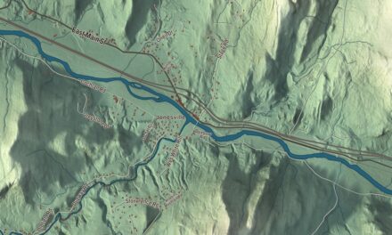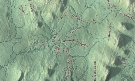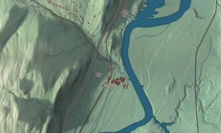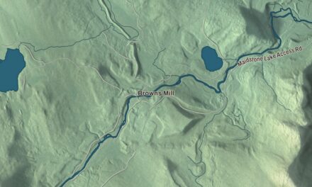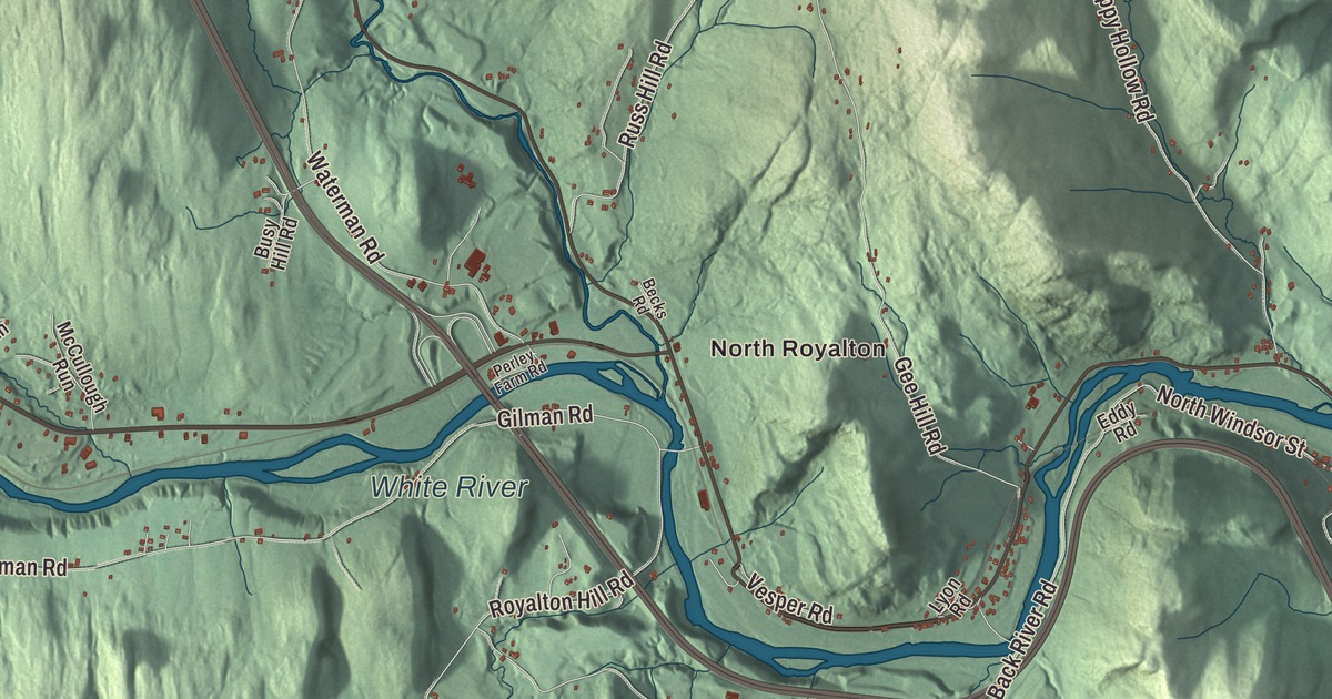
Royalton sits on the east side of the Green Mountains where the White River cuts through the middle of town, and it holds three villages: Royalton, South Royalton and North Royalton. This map prints North Royalton, Royalton Hill Road, Mill Road, Clarksville Road and North and South Windsor Street, with the White River, the First Branch White River and the Second Branch White River.
Royalton is a town in Windsor County, Vermont.
KNOWOL made this map in 2026 from public survey data and gave it the look of an old county atlas, shading the hills from United States Geological Survey elevation data and drawing the roads and town line from the Census Bureau. The town covers 40.9 square miles, and 2,750 people lived here at the 2020 census. Click here to purchase a print of this map for your wall.
A New York charter and a raid
Royalton began under New York. Cadwallader Colden, New York’s lieutenant governor, chartered it in November 1769, and Robert Havens and his family arrived in 1771 as the first permanent settlers. The independent republic of Vermont granted it again on December 20, 1781. In October 1780, a British officer, Lieutenant Richard Houghton, led 300 Mohawk warriors from Kahnawake in Quebec down the White River valley, and they burned Royalton, Sharon and Tunbridge and took 26 settlers north as prisoners. Hannah Handy, a young mother, crossed the river, caught up with the raiding party and pleaded with Houghton to let the young boys go, telling him they would not survive the trip to Canada; he released them to her to be returned to their families. A granite arch on the South Royalton green honors her.
The house at the Royalton Mill Complex, on Mill Road beside the First Branch White River about half a mile north of South Royalton, was built in 1780 and 1781, probably with lumber saved from buildings burned in the raid, and it’s believed to be the oldest building in town. Isaac Morgan probably started the mill there about 1776 and rebuilt it after the raid, and the site went on to hold a sawmill, gristmill, fulling mill, nailery and furniture factory over 190 years of industry.
The villages
The Fox Stand, a brick tavern with stepped gable ends, stands on Route 14 at the south end of North Royalton, just north of the bridge that carries Royalton Hill Road across the White River. Amasa Dutton Jr. built it for Jacob Fox in the 1810s to serve travelers on the White River Turnpike, with a ballroom on the third floor for local social events. In 1825 it hosted the Marquis de Lafayette on his way north to Montpelier. In Royalton village, the Joseph Fessenden House at 58 Bridge Street was built about 1802 for a prosperous merchant, with details taken from Asher Benjamin’s 1797 pattern book, The Country Builder’s Assistant.
South Royalton was farmland until the Vermont Central Railroad arrived in 1848. Daniel Tarbell, a mill owner from Tunbridge, saw a good site for a freight depot, bought land from the farmers and began building, and in 1850 he put up the South Royalton House as an inn for railroad passengers. After a fire in 1886 destroyed the commercial buildings, the row of brick shops along Chelsea Street went up facing the South Royalton Green. It’s the largest community in town today, and a landscape photo of Royalton appears as the fictional Stars Hollow in the opening credits of Gilmore Girls.
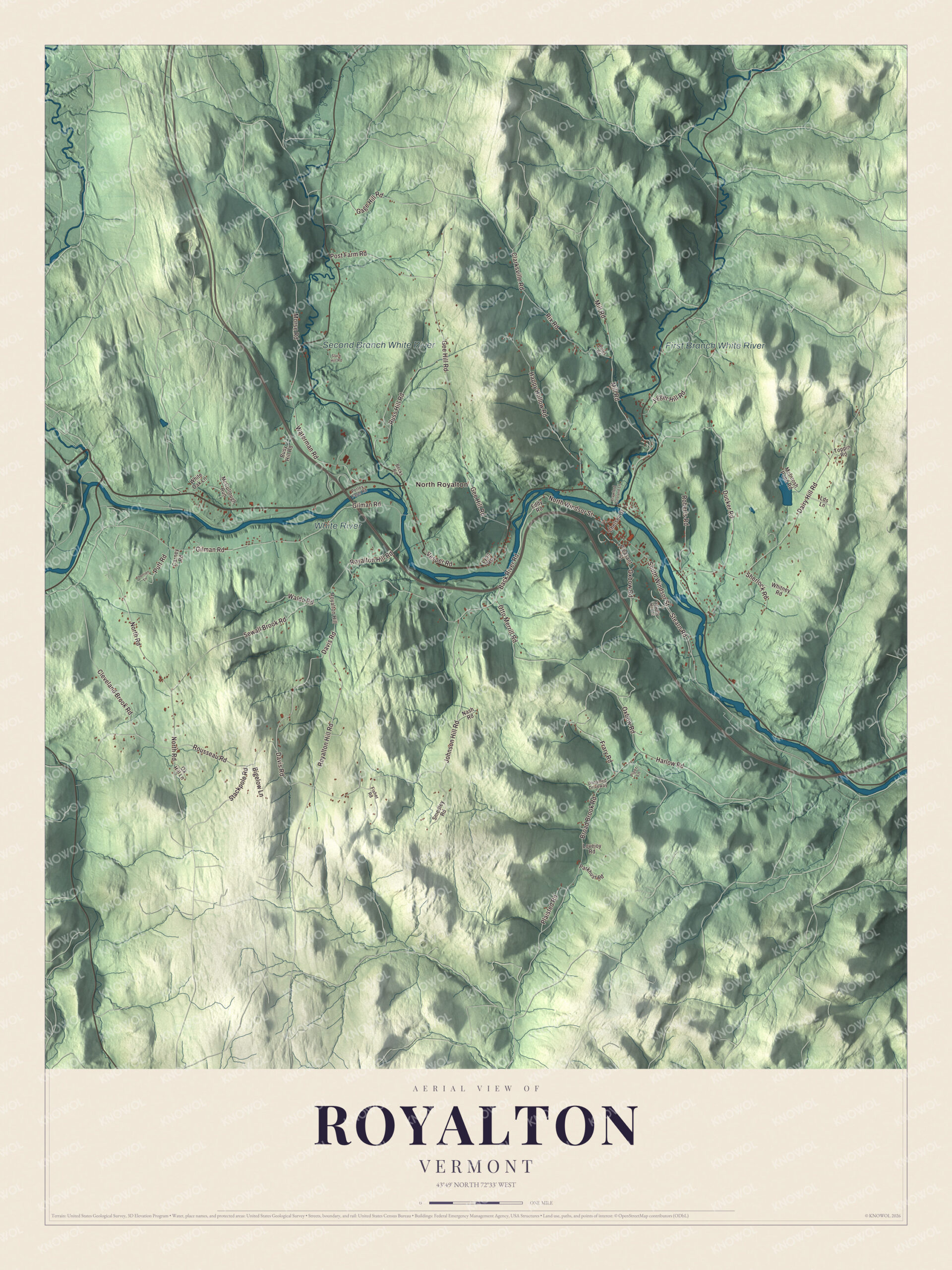
Click to explore a larger preview. The digital watermark does not appear on printed maps.
Names on this map
These names are printed on this map.
Places: North Royalton, White River, Second Branch White River and First Branch White River.
Streets and roads: Royalton Hill Road, Davis Road, Mill Road, Clarksville Road, South Windsor Street, North Windsor Street, Stackpole Road, Putt Road, Gee Hill Road, Johnson Hill Road, Dairy Hill Road, Back River Road.
More street names, A to Z
Becks Road, Bigelow Lane, Boles Road, Broad Brook Road, Busy Hill Road, Carney Road, Chelsea Street, Cleveland Brook Road, Crawford Autoland Lane, Ducker Road, Eddy Road, Fisher Road, Frary Road, Gage Hill Road, Gilman Road, Happy Hollow Road, Harlow Road, Hewety Hill Lane, Jigger Hill Road, Lds Lane, Lovejoy Road, Lyon Road, McCullough Run, McIntosh Pond Road, Morse Road, Nash Road, North Road, Otto Merrill Road, Oxbow Road, Ox Hill Lane, Parkhust Road, Perley Farm Road, Piper Lane, Plaisted Road, Pleasant Street, Post Farm Road, Rix Road, Roberts Road, Rousseau Road, Royalton Hill, Russ Hill Road, Sewall Brook Road, Sherlock Road, Slack Hill Road, Smedley Road, Stearn Road, Therrien Lane, Toppin Road, Unnamed Driveway, Vesper Road, Waldo Road, Waterman Road, White Oak Lane, Whitney Road.
See it on a wall
The Royalton map as a framed print. Swipe for more.


A law school and a calculating boy
Vermont Law School was founded in 1972 and held its first classes the next summer, with 113 students, in the old South Royalton schoolhouse. Now Vermont Law and Graduate School, it’s the state’s only accredited law school, and a former dean liked to joke that South Royalton was the only town in America “with a law school and no stop light.”
Truman Henry Safford was born in Royalton in 1836. At nine, asked to multiply 365,365,365,365,365,365 by itself, he gave the correct answer in less than a minute without paper, and around that age he worked out a faster way to calculate the moon’s risings and settings. He studied astronomy at Harvard and became the second director of the Hopkins Observatory at Williams College. Frederick H. Billings, born in Royalton in 1823, became a California lawyer during the gold rush and later president of the Northern Pacific Railway. Jacob Collamer practiced law in Royalton for 20 years before serving as postmaster general and as a United States senator who spoke against slavery, and Salmon P. Chase taught at the Royalton Academy while he was a Dartmouth student.
Joseph Smith, founder of the Latter Day Saint movement, was born on December 23, 1805, in the neighboring town of Sharon, near the Royalton line, and his brother William Smith was born in Royalton. The Joseph Smith Birthplace Memorial, a granite obelisk 38.5 feet long in the shaft, one foot for each year of his life, stands on a hill about two miles east of South Royalton. It was dedicated on the hundredth anniversary of his birth.
On the map, start with North Royalton, then follow Royalton Hill Road, Davis Road, Mill Road, Clarksville Road, South Windsor Street and North Windsor Street across town. The White River, the Second Branch White River and the First Branch White River are printed too. Royalton dates to 1769.
This map of Royalton is made for everyone who calls Royalton home, and it shows the town as it looks today, from North Royalton and Royalton Hill Road to Mill Road and the White River. Hang it in an office, library or den, or use it to teach children the geography and history of their town. It’s printed on museum quality archival paper. Zoom in on the preview above to explore the details, then click here to get your copy of the Royalton, Vermont map.

Sources
- Royalton, Vermont, Wikipedia
- Town histories and representatives, R towns, Vermont Legislature
- Royalton raid, Wikipedia
- Royalton Mill Complex, Wikipedia
- Fox Stand, Wikipedia
- Joseph Fessenden House, Wikipedia
- South Royalton Historic District, Wikipedia
- South Royalton, Vermont, Wikipedia
- Vermont Law and Graduate School, Wikipedia
- Truman Henry Safford, Wikipedia
- Frederick H. Billings, Wikipedia
- Jacob Collamer, Wikipedia
- Salmon P. Chase, Wikipedia
- Joseph Smith, Wikipedia
- William Smith (Latter Day Saints), Wikipedia
- Joseph Smith Birthplace Memorial, Wikipedia