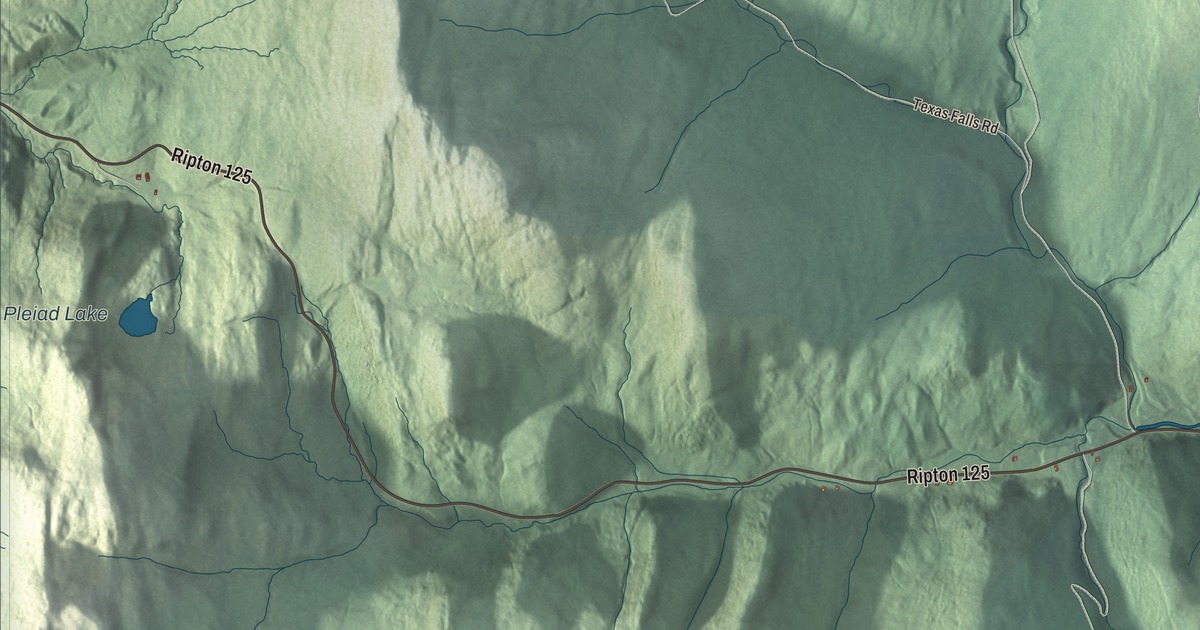
Hancock runs from the crest of the Green Mountains down to the White River, and the road over Middlebury Gap starts in its village. This map prints Buttles Road, Texas Falls Road, Fassett Hill Road, Tucker Brook Road, Churchville Road and Killooleet Road, and it prints Pleiad Lake.
Hancock is a town in Addison County, Vermont.
KNOWOL made this map in 2026 from public survey data and gave it the look of an old county atlas, shading the mountains from United States Geological Survey elevation data and drawing the roads and town line from the Census Bureau. Hancock village sits on the White River where the Hancock Branch comes in from Middlebury Gap, and 359 people lived in the town at the 2020 census. Click here to purchase a print of this map for your wall.
Named for John Hancock
Vermont granted the town on November 7, 1780, and chartered it on July 31, 1781, naming it for John Hancock. Hancock organized on June 18, 1792, and the Legislature’s records list Esaias Butts as its representative from 1800 to 1802. Vermont Route 100 follows the White River north and south through town, toward Granville and Warren in one direction and Rochester and Stockbridge in the other. In the village, Vermont Route 125 turns west and climbs over Middlebury Gap, at 2,144 feet, to Ripton and Middlebury.
The gap divides two drainages. Water on its southeast side drains by way of the Robbins Branch into the Hancock Branch, then the White River and the Connecticut, and finally Long Island Sound. On the northwest side, the gap is the source of the South Branch of the Middlebury River, which flows to Otter Creek and Lake Champlain. The Long Trail crosses the gap and follows the crest of the mountains through western Hancock, over Worth Mountain at 3,234 feet. On Worth Mountain’s north slope, just south of the gap, is the Middlebury College Snow Bowl, where the college cut its first trails in 1934 on land Joseph Battell left it in 1915. Its page calls the log cabin lodge of 1938 the oldest standing base lodge in the nation, and in 2006 the Snow Bowl became the first carbon-neutral ski area in the United States.
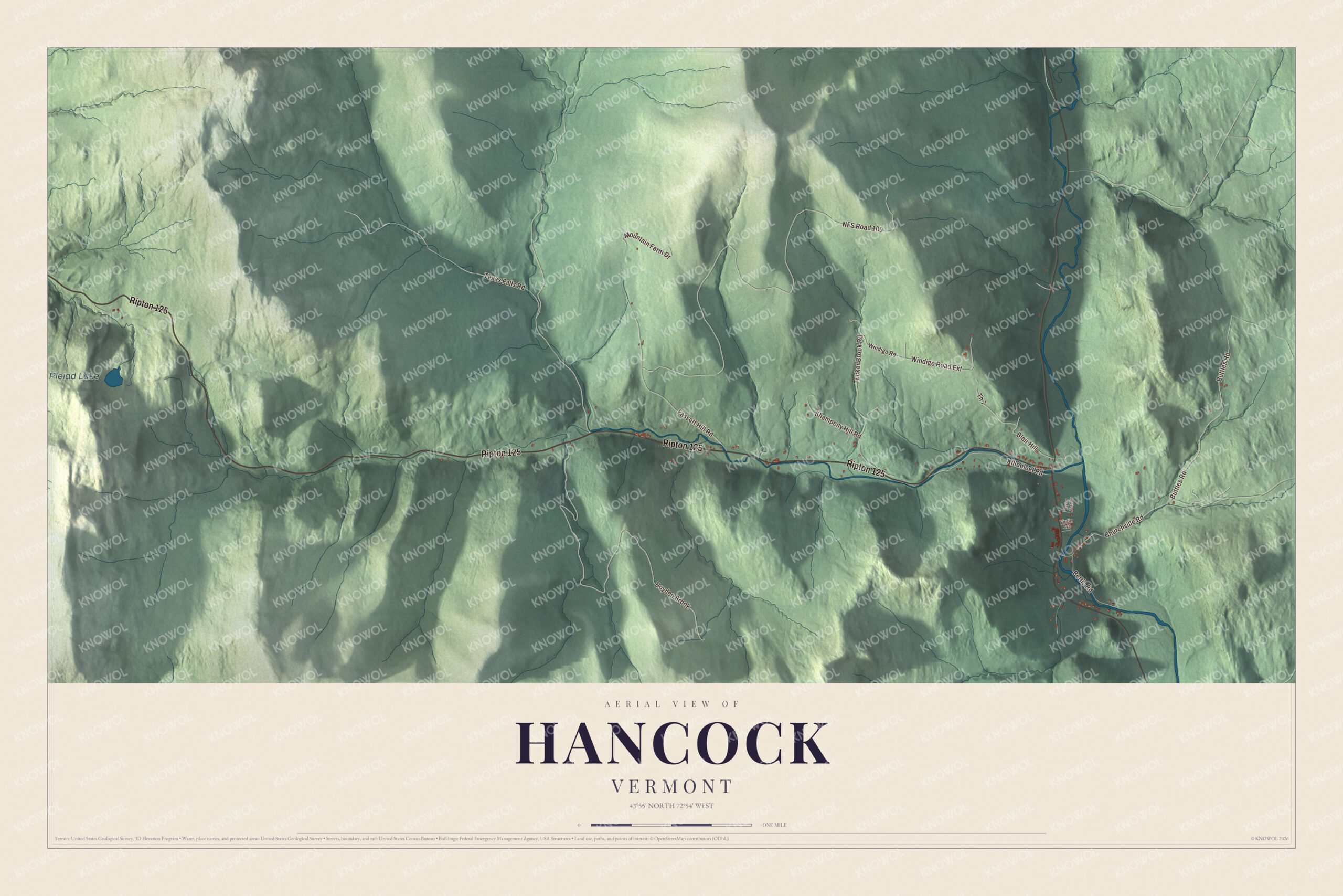
Click to explore a larger preview. The digital watermark does not appear on printed maps.
Names on this map
These names are printed on this map.
Places: Pleiad Lake.
Streets and roads: Ripton 125, Buttles Road, NFS Road 100, Boyden Brook, Texas Falls Road, Fassett Hill Road, Tucker Brook Road, Churchville Road, Killooleet Road, Windigo Road Extension, Blair Hill, Th 7.
More street names, A to Z
Bettis Road, Mountain Farm Drive, Shampeny Hill Road, Taylor Meadow, Virgin Avenue, Windigo Road.
See it on a wall
The Hancock map as a framed print. Swipe for more.


Falls, songs and a poet
Texas Falls, a waterfall on the Hancock Branch, can be reached by road, and there’s a Green Mountain National Forest recreation area close by. It shares its name with Texas Falls Road, which the map prints. Hancock was also home to the composer Jeremiah Ingalls, part of what’s called the First New England School. He published The Christian Harmony in 1805, later moved to Hancock, and died here in 1838. The poet Rebecca Hammond Lard, whom some critics call the first poet of Indiana, lived in Hancock with her family for a time around 1807. Fred Thaddeus Austin, born in Hancock in 1866, rose to major general and became the Army’s Chief of Field Artillery.
On the map, follow Texas Falls Road and Churchville Road, then Fassett Hill Road, Tucker Brook Road, Buttles Road and Killooleet Road. Pleiad Lake is printed too. Hancock dates to 1781.
This map of Hancock is made for everyone who calls Hancock home, and it shows the town as it looks today, from Texas Falls Road to Pleiad Lake. Hang it in an office, library or den, or use it to teach children the geography and history of their town. It’s printed on museum quality archival paper. Zoom in on the preview above to explore the details, then click here to get your copy of the Hancock, Vermont map.

Sources