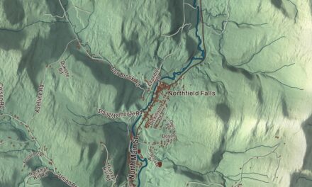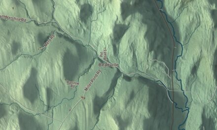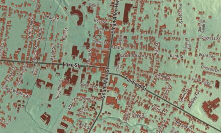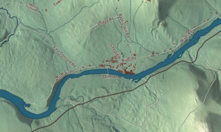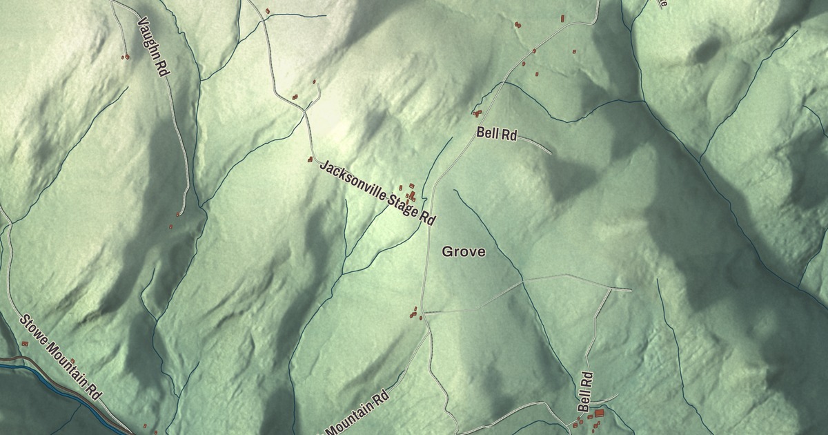
Halifax was chartered in 1750, early enough to rank among Vermont’s oldest towns, and 771 people lived here at the 2020 census. This map prints Green River Road, Deer Park Road, Brook Road, Hatch School Road, Aldrich Road and Old County Road, with Grove, Reid Hollow, Harrisville, West Halifax and Whitneyville, plus Deer Park Pond and the East Branch North River.
Halifax is a town in Windham County, Vermont.
KNOWOL made this map in 2026 from public survey data and gave it the look of an old county atlas, shading the hills from United States Geological Survey elevation data and drawing the roads and town line from the Census Bureau. The town covers 39.8 square miles, nearly all of it land. Click here to purchase a print of this map for your wall.
Second after Bennington
New Hampshire’s governor, Benning Wentworth, granted Halifax on May 11, 1750. The town page says that makes it the second town chartered west of the Connecticut River and the second oldest town in the state, after Bennington. Wentworth named it for George Montagu-Dunk, the second Earl of Halifax. The town had organized by 1778, when Edward Harris and Hubbell Wells went to the new Vermont legislature as its first representatives.
Halifax was the birthplace of an inventor whose name is on elevators around the world. Elisha Otis was born here on August 3, 1811, left home at nineteen, and in 1853 invented the safety device that keeps an elevator from falling if its cable breaks. He founded the Otis Elevator Company, and in 1857 he installed the first safety elevator for passengers, in a New York City store. His son Norton P. Otis was born in Halifax in 1840, went to school here, worked in the elevator business for nearly fifty years and later served in Congress. Almira Edson, born in Halifax in 1803, painted family registers in or near Halifax; one is signed “Executed by Almira Edson, Halifax, Vt.”, and another belongs to the New-York Historical Society. In 1946 the painter and printmaker Kyra Markham moved to an old farmhouse in Halifax, and she painted a mural of a barn-raising for the Community Hall in West Halifax. The town page also lists the poet Wyn Cooper, whose 1987 poem “Fun” became the lyrics of Sheryl Crow’s song “All I Wanna Do.”
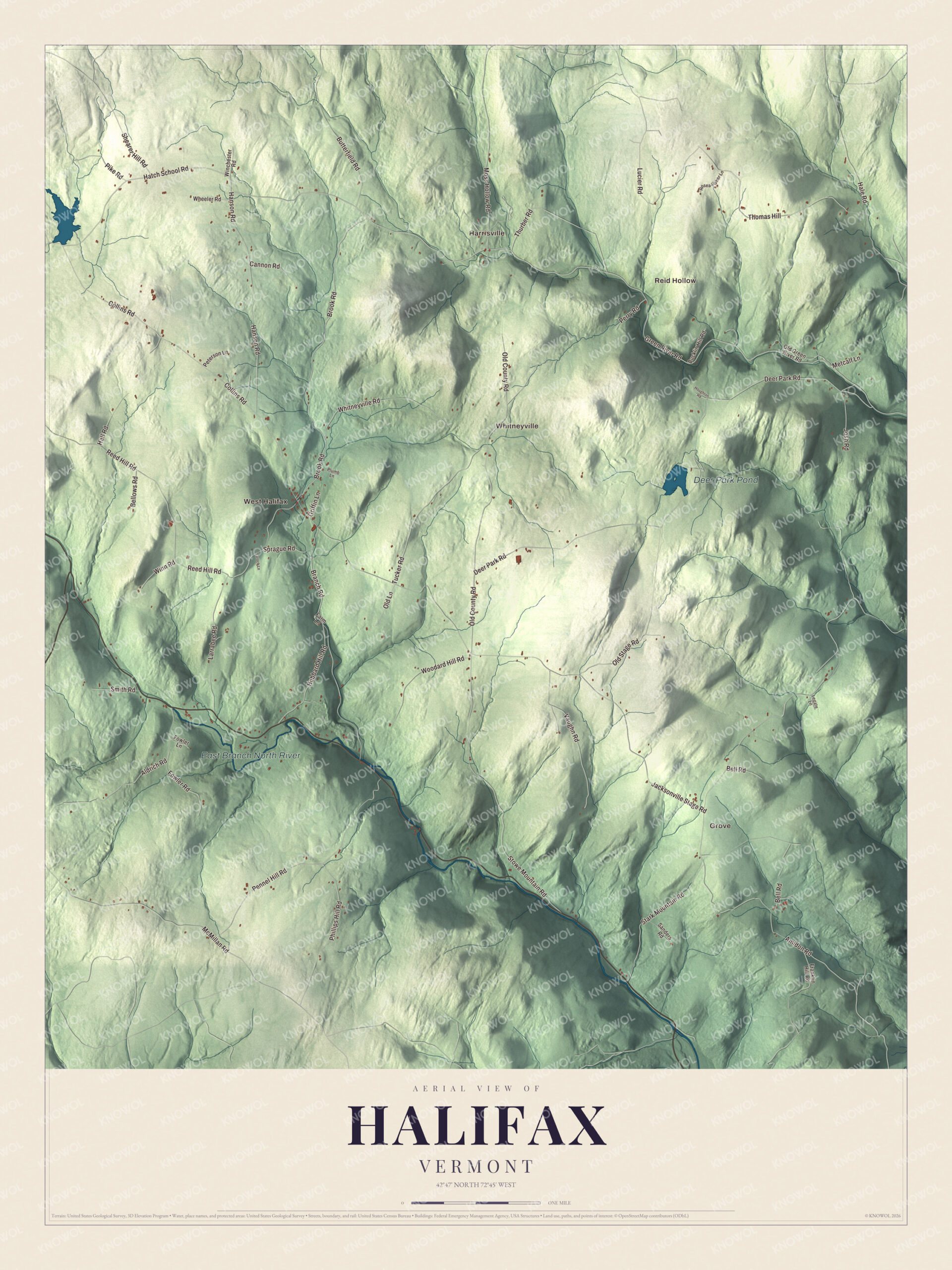
Click to explore a larger preview. The digital watermark does not appear on printed maps.
Names on this map
These names are printed on this map.
Places: Grove, Reid Hollow, Harrisville, West Halifax, Whitneyville, Deer Park Pond and East Branch North River.
Streets and roads: Green River Road, Deer Park Road, Brook Road, Hatch School Road, Aldrich Road, Old County Road, Jacksonville Stage Road, Reed Hill Road, Collins Road, Stowe Mountain Road, Amidon Road, Branch Road.
More street names, A to Z
Bellows Road, Bell Road, Bucklin Hill Road, Butterfield Road, Cannon Road, Farm Lane, Fowler Lane, Fowler Road, Franklin Hill Road, Griffin Lane, Hale Road, Hall Road, Hanson Road, Hosea Fisher Lane, Houghton Road, Hubbard Hill Road, Josh Road, Larock Lane, Larrabee Road, Legate Lane, Lucier Road, McMillan Road, Metcalf Lane, Moss Hollow Road, Old Green River Road, Old Lane, Old Stage Road, Pennel Hill Road, Perry Road, Peterson Lane, Phillips Hill Road, Pike Road, Plumb Lane, Sanders Road, Shearer Hill Road, Smith Road, Sprague Road, Stark Mountain Road, Thomas Hill, Thurber Road, Tucker Road, Vaughn Road, Wheeler Road, Whitneyville Road, Winchester Road, Winn Road, Woodard Hill Road.
See it on a wall
The Halifax map as a framed print. Swipe for more.


Around the hills
Halifax keeps its town office at 246 Branch Road in West Halifax, and the town website puts the Community Hall at 20 Brook Road. The map prints the East Branch North River. That stream flows on into Massachusetts, where it meets the West Branch in Colrain to form the North River, a tributary of the Deerfield.
On the map, follow Green River Road and Deer Park Road, then Brook Road, Hatch School Road, Aldrich Road and Old County Road. Look for Grove, Reid Hollow, Harrisville, West Halifax and Whitneyville, and for Deer Park Pond. Halifax dates to 1750.
This map of Halifax is made for everyone who calls Halifax home, and it shows the town as it looks today, from West Halifax to Whitneyville. Hang it in an office, library or den, or use it to teach children the geography and history of their town. It’s printed on museum quality archival paper. Zoom in on the preview above to explore the details, then click here to get your copy of the Halifax, Vermont map.

Sources