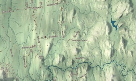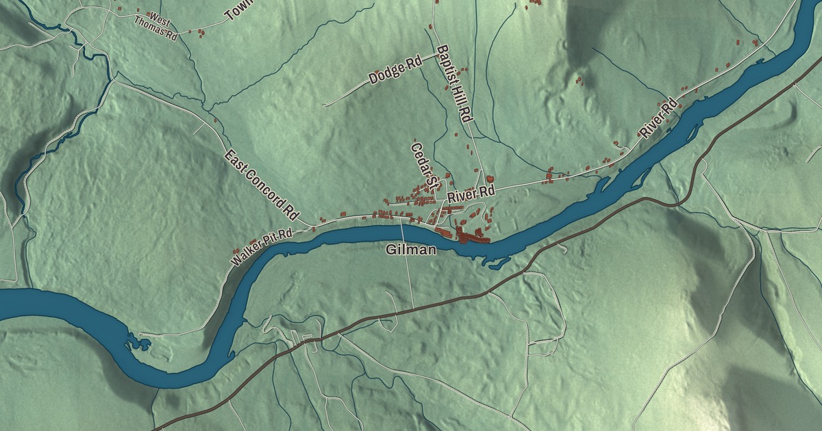
Lunenburg runs along the Connecticut River across from Lancaster, New Hampshire, with U.S. Route 2 through the middle and two villages, Lunenburg and Gilman. This map prints East Main Street, West Main Street, West Lunenburg Road, Lancaster Road, River Road and Bobbin Mill Road, with Gilman, Baptist Hill, Mill Village and South Lunenburg, and water from Neal Pond to the Connecticut River.
Lunenburg is a town in Essex County, Vermont.
KNOWOL made this map in 2026 from public survey data and gave it the look of an old county atlas, shading the hills from United States Geological Survey elevation data and drawing the roads and town line from the Census Bureau. The town covers 45.8 square miles and climbs from the river to 2,279 feet on Temple Mountain in the north. With 1,246 people at the 2020 census, it’s the most populous town in Essex County. Click here to purchase a print of this map for your wall.
A New Hampshire grant
Benning Wentworth, the royal governor of New Hampshire, granted Lunenburg on July 5, 1763, to David Page and 68 others. It’s widely believed that Page chose the name, which comes from one of the titles of Prince Karl Wilhelm Ferdinand of Brunswick-Lunenburg. The town organized on September 11, 1781, and sent Reuben Howe to the legislature that year. Today the main village of Lunenburg sits in the southeast part of town on Route 2, 21 miles from St. Johnsbury and 7 miles from Lancaster. The town also holds the village of Gilman and the hamlets of South Lunenburg and Mill Village, which the town’s page also calls Northern Lunenburg.
Robert Frost’s poem “The Mountain” takes place in a town called Lunenburg, and Lunenburg is believed to have inspired it. Adino Nye Bell, a Democrat, represented the town in the Vermont House five times between 1910 and 1952. He also served as town auditor for seventeen years, school director, justice of the peace from 1910 to 1950, selectman and town agent, and during World War II he chaired the Essex County Rationing Board.
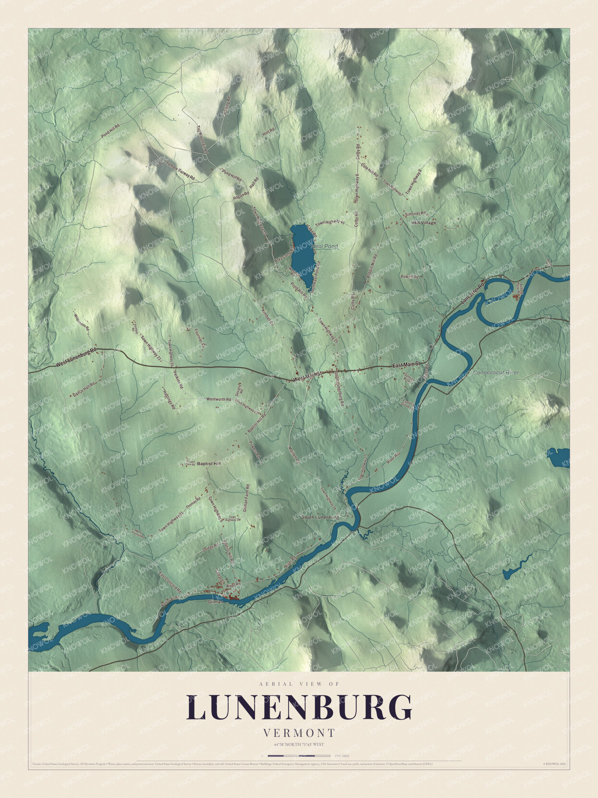
Click to explore a larger preview. The digital watermark does not appear on printed maps.
Names on this map
These names are printed on this map.
Places: Gilman, Neal Pond, Connecticut River, Baptist Hill, Mill Village and South Lunenburg.
Streets and roads: East Main Street, West Main Street, West Lunenburg Road, Lancaster Road, River Road, Bobbin Mill Road, Town Highway 8, East Concord Road, Town Highway 31, Town Highway 41, Pond Hill Road, Town Highway 15.
More street names, A to Z
Auburn Star Road, Baptist Hill Road, Boys Camp Road, Cedar Street, Colby Road, Cole Hill Road, Dance Hall Road, Dodge Road, Foster's Grove Lane, Fournier Road, Gilman Farm Road, Hagan Road, Hall Road, Hastings Road, Holt Road, Kimball Road, Lake Road, Maillett Road, Morin Road, Perkins Road, Powell Road, Powers Road, Russell Farm Road, Sevigny Road, Simonds Road, Southeast Pond Road, South Lunenburg Road, Sunrise Acres, Temple Barway Road, Thomas Road, Town Highway 2, Town Highway 5, Town Highway 6, Town Highway 7, Town Highway 18, Town Highway 20, Town Highway 21, Town Highway 23, Town Highway 29, Tug Mountain Road, Venhem Road, Walker Pit Road, Wentworth Road, Westside Road, West Thomas Road, Whiting Road, Wilderness Road.
See it on a wall
The Lunenburg map as a framed print. Swipe for more.


Gilman’s minister
Gilman, also called Fitzdale, has its own post office, and 238 people lived there at the 2020 census. George L. Fox served as minister of the Methodist church in Gilman, one of his parishes in Vermont, and he was also state chaplain and historian for the American Legion. In 1942 he volunteered as an Army chaplain. When the troop ship Dorchester was torpedoed in the North Atlantic on February 3, 1943, Fox and three other chaplains helped soldiers into the lifeboats and gave away their own life jackets when the supply ran out. All four were awarded the Distinguished Service Cross and the Purple Heart, and Congress later created the Four Chaplains’ Medal in their honor.
The river and the pond
On the map, follow River Road east to the river. The road meets the Mount Orne Covered Bridge in the eastern part of town. Built in 1911 by the Berlin Construction Company, it crosses the Connecticut to South Lancaster in two spans of wood and iron Howe trusses, 267 feet in all, and replaced a bridge that a flood washed away in 1905. It’s one of only two Howe truss bridges across the Connecticut, the other being the Columbia Bridge, and the two towns share the cost of keeping it. Its page says it was closed in November 2023 after an oversized vehicle damaged it.
North of the town center, Neal Pond is the largest body of water in Lunenburg, 185 acres fed by Hall Brook and Neal Brook, with about 70 cabins and camps and a public boat ramp along its shore. Neal Brook, Mink Brook, Catbow Brook and Hudson Brook all run down to the Connecticut. Take East Main Street, West Main Street, West Lunenburg Road, Lancaster Road and Bobbin Mill Road as well. Gilman, Baptist Hill, Mill Village and South Lunenburg are printed, and so are Neal Pond and the Connecticut River. Lunenburg dates to 1763.
This map of Lunenburg is made for everyone who calls Lunenburg home, and it shows the town as it looks today, from Gilman to the Connecticut River. Hang it in an office, library or den, or use it to teach children the geography and history of their town. It’s printed on museum quality archival paper. Zoom in on the preview above to explore the details, then click here to get your copy of the Lunenburg, Vermont map.

Sources