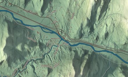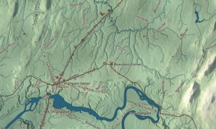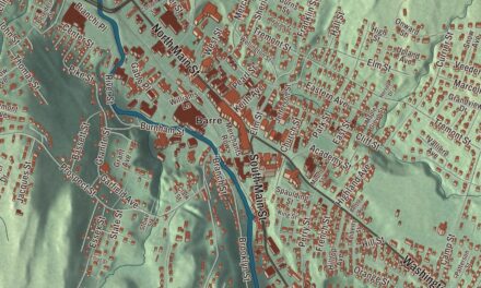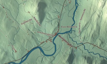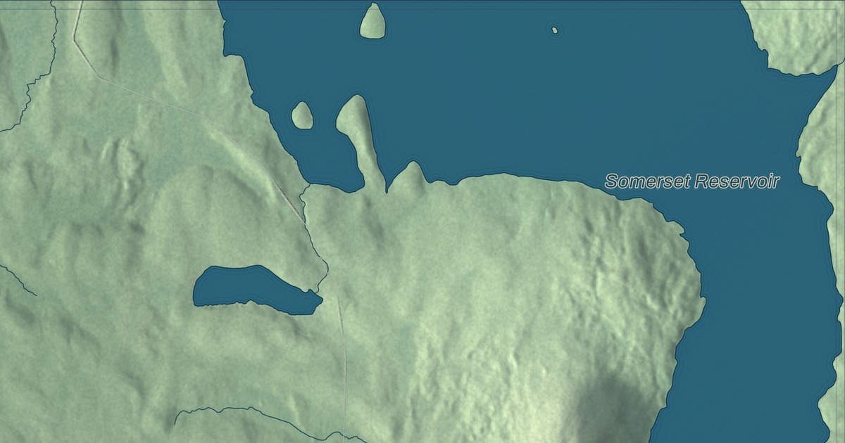
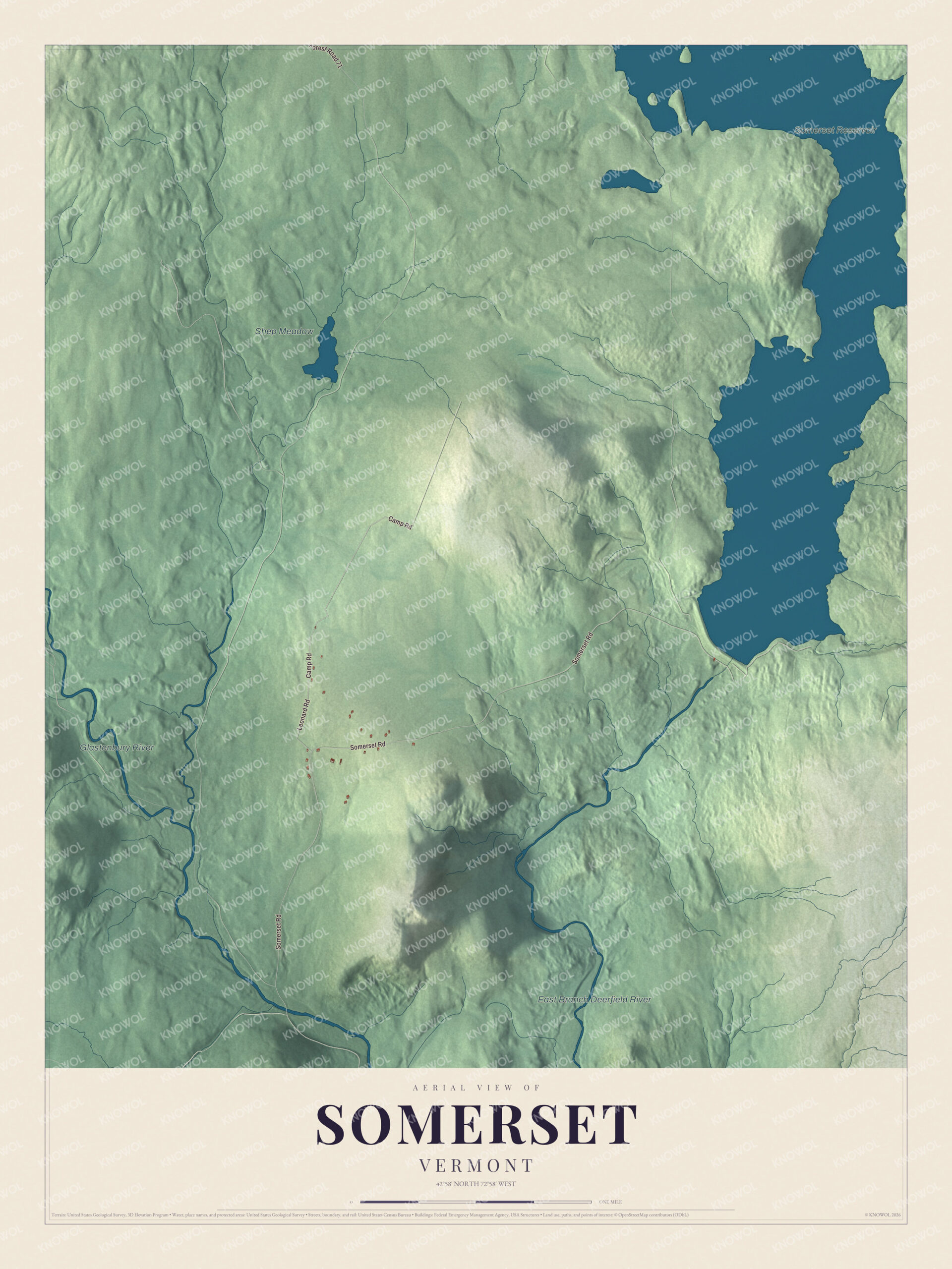
Somerset sits high in the southern Green Mountains, where Somerset Road runs north from Route 9 up the Deerfield River valley. This map prints Camp Road, Somerset Road and Leonard Road. The Somerset Reservoir, the East Branch Deerfield River and the Glastenbury River appear on it too.
Somerset is a town in Windham County, Vermont.
KNOWOL made this map in 2026 from public survey data and gave it the look of an old county atlas, shading the hills from United States Geological Survey elevation data and drawing the roads and town line from the Census Bureau. The town covers 28.1 square miles, 2 of them water, and 6 people lived here at the 2020 census. Click here to purchase a print of this map for your wall.
A town without a town government
New Hampshire granted Somerset on September 9, 1761, and it organized on November 19, 1792. Daniel Rice was its first representative in the legislature, from 1799 to 1802, and from 1803 to 1820 the town sent no one. In 1937 the legislature made Somerset an unorganized town, and today it’s one of five unincorporated towns in Vermont, with no local government; a supervisor appointed by the state handles its affairs. Its little habitable land lies between the main spine of the Green Mountains and Mount Snow.
On Somerset Road, well north of where the road crosses the river, stands the District No. 1 Schoolhouse, a one-room school built about 1850. It’s the only known district schoolhouse in Vermont that’s entirely unaltered, and probably the only municipal building left from the town. It joined the National Register of Historic Places in 1992. The Somerset hydroelectric station and dam are among those on the Deerfield River that Great River Hydro bought from TransCanada in 2017.
Click to explore a larger preview. The digital watermark does not appear on printed maps.
Names on this map
These names are printed on this map.
Places: Somerset Reservoir, Shep Meadow, East Branch Deerfield River and Glastenbury River.
Streets and roads: Camp Road, Somerset Road, Leonard Road and Forest Road 71.
See it on a wall
The Somerset map as a framed print. Swipe for more.


Somerset holds a Vermont weather record: on March 5, 1947, it had 78 inches of snow on the ground, the greatest daily snow depth for any place in the state. In 2007 the Capitol Christmas Tree was cut from the Green Mountain National Forest in Somerset. Two men born here made their names elsewhere. Elbridge Boyden, born in Somerset on July 4, 1810, became a prominent architect in Worcester, Massachusetts, where he designed Mechanics Hall. Lyman Enos Knapp, born here in 1837, was wounded at Gettysburg, Spotsylvania and Petersburg in the Civil War, published the Middlebury Register and served as governor of the District of Alaska from 1889 to 1893.
On the map, start with Camp Road, then follow Somerset Road and Leonard Road across town. Then find the Somerset Reservoir, the East Branch Deerfield River and the Glastenbury River. Somerset dates to 1761.
This map of Somerset is made for everyone who calls Somerset home, and it shows the town as it looks today, from Somerset Road to the Somerset Reservoir. Hang it in an office, library or den, or use it to teach children the geography and history of their town. It’s printed on museum quality archival paper. Zoom in on the preview above to explore the details, then click here to get your copy of the Somerset, Vermont map.

Sources