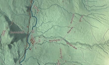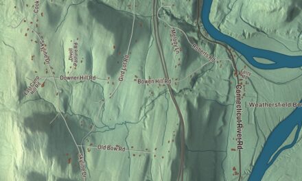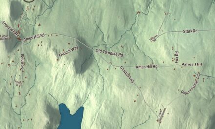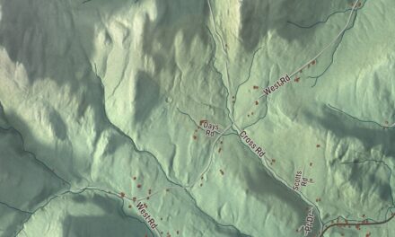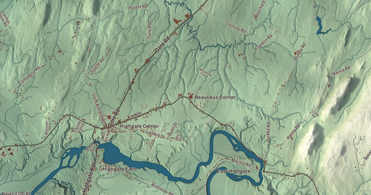
Highgate sits on the Canadian border at Missisquoi Bay, the northern arm of Lake Champlain, and the Missisquoi River runs through it on the way to the lake. This map prints the Missisquoi River, Big Marsh Slough, Cutler Pond and Proper Pond, with Highgate Center, Highgate Falls, East Highgate and Beaulieus Corner, and roads such as Highgate Road, Ethan Allen Highway, Gore Road, Spring Street, Spooner Road and Campagna Road.
Highgate is a town in Franklin County, Vermont.
KNOWOL made this map in 2026 from public survey data and gave it the look of an old county atlas, shading the land from United States Geological Survey elevation data and drawing the roads and town line from the Census Bureau. The 45th parallel crosses Highgate, the northwest corner of town lies in Missisquoi Bay, and water covers about 9 of its 59.7 square miles. Click here to purchase a print of this map for your wall.
Named for Highgate, England
New Hampshire granted Highgate on August 17, 1763, and it takes its name from Highgate in England. The town organized on March 31, 1791, and the Saxe family appears early in the Legislature’s list, with Matthew Saxe representing Highgate in 1801 and 1802. John Saxe, a German immigrant, built the area’s first gristmill in 1786 at the hamlet later called Saxe’s Mills, and his grandson John Godfrey Saxe was born there in 1816. The grandson became a poet, and his version of the old Indian parable “The Blind Men and the Elephant” introduced the story to Western readers. Warren Austin, born in Highgate in 1877 and a native of Highgate Center, served as a United States senator and in 1946 became the country’s ambassador to the United Nations. Alexander Christie, born in Highgate in 1848, became the Archbishop of Oregon City.
Two of the villages sit at the falls. Highgate Center, the main village, stands on the north bank where the Missisquoi passes over Highgate Falls, and Vermont Route 78 runs through it, out to East Highgate and Sheldon. On the village green at Highgate Falls, St. John’s Episcopal Church was built of brick in 1829 and 1830 and consecrated in 1834 by John Henry Hopkins, the first Episcopal bishop of Vermont. Just downstream of the dam at the falls, an iron bridge of 1887 crosses the Missisquoi from the end of Mill Hill Road toward Highgate Road. Built by the Berlin Iron Bridge Company to a patented lens-shaped truss design, it’s 215 feet long, one of the largest of its kind left in the Northeast, and it’s open to people on foot.
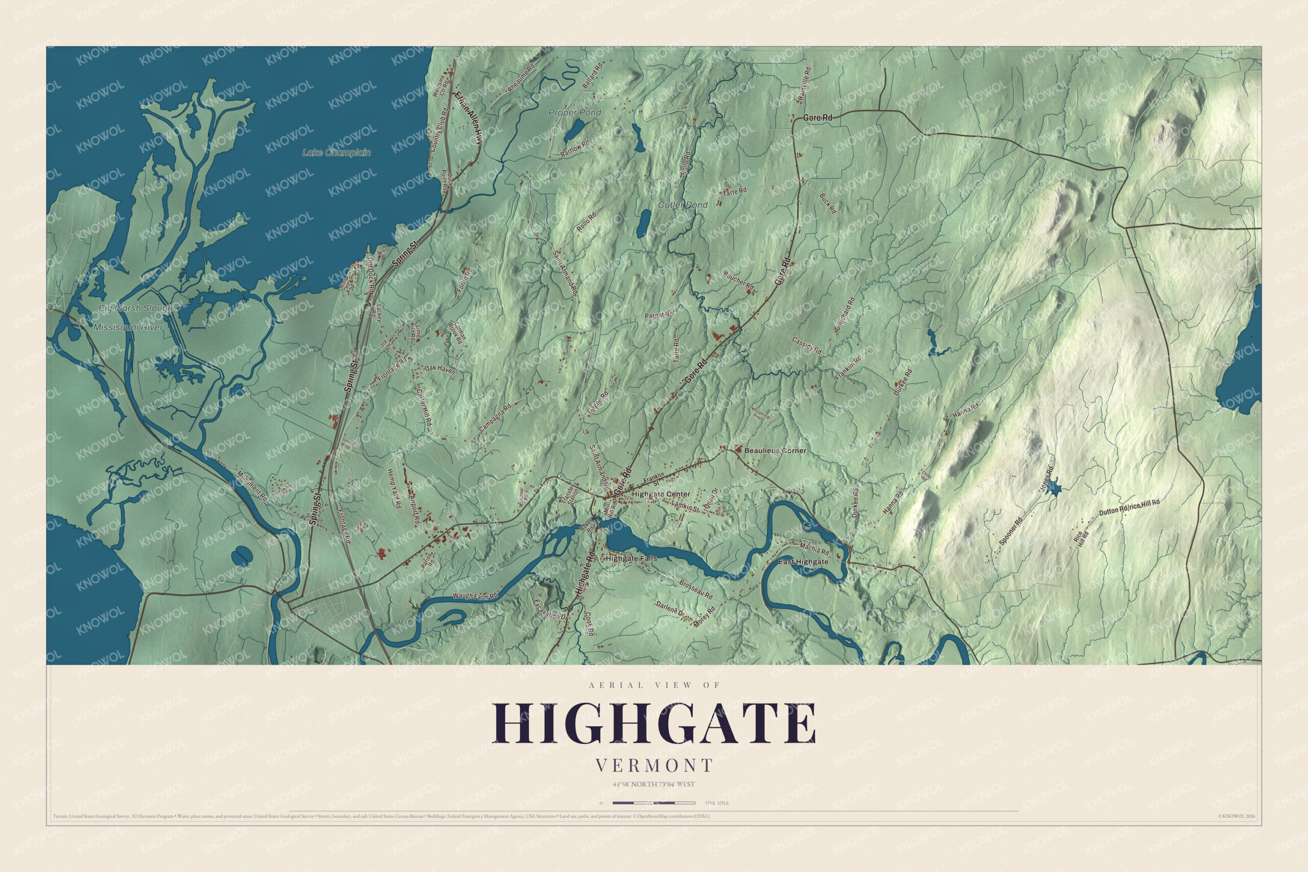
Click to explore a larger preview. The digital watermark does not appear on printed maps.
Names on this map
These names are printed on this map.
Places: Big Marsh Slough, Cutler Pond, Proper Pond, Missisquoi River, Lake Champlain, Beaulieus Corner, East Highgate, Highgate Center and Highgate Falls.
Streets and roads: Gore Road, Spring Street, Highgate Road, Ethan Allen Highway, Spooner Road, Campagna Road, Saint Armand Road, Rollo Road, Tarte Road, Carter Hill Road, Frontage Road, Hanna Road.
More street names, A to Z
Airport Road, Baker Road, Ballard Road, Bmx Boulevard, Bouchard Road, Boucher Road, Brosseau Road, Buck Road, Carman Brook Road, Cassidy Road, Childs Road, Cook Road, Country Club Road, Darlene Drive, Duck Point Road, Durkee Road, Excavation Drive, Fortin Road, Franklin Road, Franklin Street, Gagne Road, Hemp Yard Road, Ila Lane, Jedware Circle, Jones Road, Lackey Road, Lafar Road, Lamkin Street, Lime Kiln Road, Machia Road, McKinnel Road, Mill Hill Road, Monument Road, Morey Road, Oak Haven, Old Dock Road, Parent Road, Parizo Road, Partlow Road, Platt Road, Quail Drive, Rainville Road, Raven Drive, Rheaume Road, Rice Hill Road, Terrical Boulevard, Transfer Station, Tyler Place, Waugh Farm Road, Welcome Ctr Road, Whispering Pines.
See it on a wall
The Highgate map as a framed print. Swipe for more.


The delta and the border
Where the river reaches the lake, the Missisquoi National Wildlife Refuge was set up in 1943 with land in the river delta that included Shad Island and Big Marsh Slough. The refuge, in Highgate and Swanton, now covers 7,232 acres and was named a wetland of international importance in 2013. Highgate Springs, on the shore of Missisquoi Bay, is where Vermont Gas Systems takes its natural gas from the TransCanada Pipeline. Since 1985 Highgate has also had a converter station, built in eight months, that trades electric power between Hydro-Quebec and the New England grid. And at the Franklin County State Airport, the Grateful Dead played two shows, in July 1994 and June 1995; the town page estimates the crowds at 60,000 and 100,000.
On the map, follow Highgate Road, then Ethan Allen Highway, Gore Road and Spring Street, and Spooner Road and Campagna Road. Highgate Center, Highgate Falls, East Highgate and Beaulieus Corner are printed, and so are Cutler Pond and Proper Pond. Highgate dates to 1763.
This map of Highgate is made for everyone who calls Highgate home, and it shows the town as it looks today, from Highgate Falls to Big Marsh Slough. Hang it in an office, library or den, or use it to teach children the geography and history of their town. It’s printed on museum quality archival paper. Zoom in on the preview above to explore the details, then click here to get your copy of the Highgate, Vermont map.

Sources
- Highgate, Vermont, Wikipedia
- Town histories and representatives, H towns, Vermont Legislature
- John Godfrey Saxe, Wikipedia
- Warren Austin, Wikipedia
- Alexander Christie (bishop), Wikipedia
- Highgate Center, Vermont, Wikipedia
- St. John’s Episcopal Church (Highgate Falls, Vermont), Wikipedia
- Douglas and Jarvis Patent Parabolic Truss Iron Bridge, Wikipedia
- Missisquoi National Wildlife Refuge, Wikipedia
- Highgate Springs, Vermont, Wikipedia
- Franklin County State Airport, Wikipedia