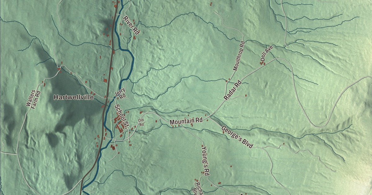
East Haven is a big town with few people, 270 of them spread over more than 37 square miles. This map prints the places they know by name, Hartwellville, Lost Nation and Moccasin Mill, and the roads that tie them together: Mountain Road, Lost Nation Road, Radar Road, Madison Brook Road, George’s Boulevard and Young’s Road.
East Haven is a town in Essex County, Vermont.
KNOWOL made this map in 2026 from public survey data and gave it the look of an old county atlas. The ridges and valleys are shaded from United States Geological Survey elevation data, and the roads and town line come from the Census Bureau. East Haven covers 37.4 square miles, all of it land, and it had 270 people at the 2020 census. Click here to purchase a print of this map for your wall.
A late start
Vermont granted East Haven on November 8, 1780, and chartered it on October 22, 1790, but the town didn’t organize until July 28, 1845, more than half a century later. Its first representative in the legislature was John Walter Jr., elected in 1845, and the Walter name comes up again and again on the town’s list of representatives through the 1800s, with Elam, Horace L. and Oscar T. Walter all taking a turn. Today East Haven is counted as part of the Berlin, New Hampshire, micropolitan area.
The old Air Force base and the new trails
East Haven also has an old Air Force base, known as North Concord Air Force Base. It opened in 1956 and was abandoned in the late 1980s. Its empty buildings draw people who like to explore old sites, but the base is on private property and trespassing is forbidden.
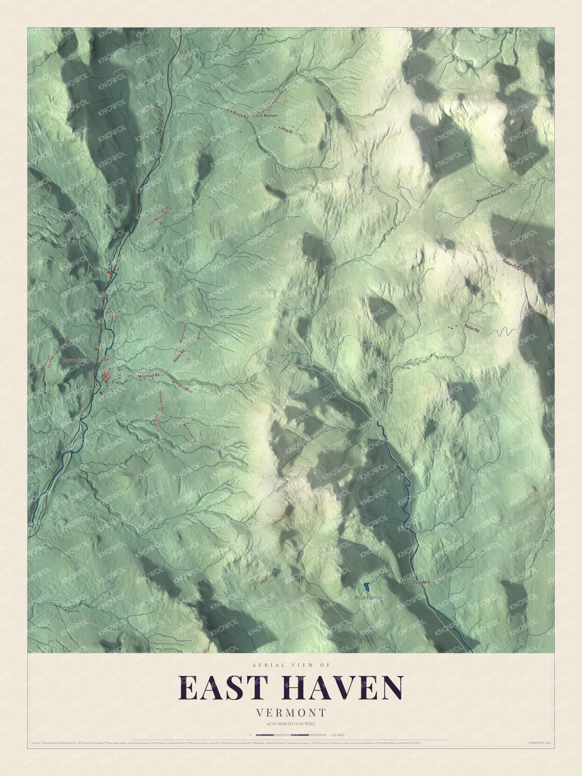
Click to explore a larger preview. The digital watermark does not appear on printed maps.
Names on this map
These names are printed on this map.
Places: Hartwellville, Lost Nation, Mud Pond and Moccasin Mill.
Streets and roads: Radar Road, Mountain Road, Lost Nation Road, George's Boulevard, Madison Brook Road, Young's Road, School Street, Labay Place, Jack Brook Road, Morrissey Place, River Road, Richard Boulevard.
More street names, A to Z
Dell Avenue, Jerry Road, Moulthrop Road, Old Road, Walters Farm Road.
See it on a wall
The East Haven map as a framed print. Swipe for more.


Newer visitors come for the bikes. In the summer of 2018, the Kingdom Trails Association built a network of mountain bike trails called Moose Haven on land owned by Walter and Winny Norman, with a trailhead right next to the town’s municipal buildings. A fire road, Haul Road, does the climbing, about 700 feet of it, and gravity-fed trails run back down. Stormin Norman and Black Bear are the longest and most ridden of them, with big berms, jumps and rollers.
On the map, start at Hartwellville and follow Mountain Road, Lost Nation Road, Radar Road, Madison Brook Road, George’s Boulevard and Young’s Road. Lost Nation and Moccasin Mill are printed too, and Mud Pond is labeled on the map.
East Haven is a small town, and this map is made for everyone who calls East Haven home. It shows the town as it looks today, from Hartwellville to Lost Nation. Hang it in an office, library or den, or use it to teach children the geography and history of the place they come from. KNOWOL created it in 2026, and it’s printed on museum quality archival paper. Zoom in on the preview above to explore the details, then click here to get your copy of the East Haven, Vermont map.

Sources