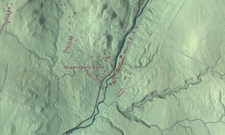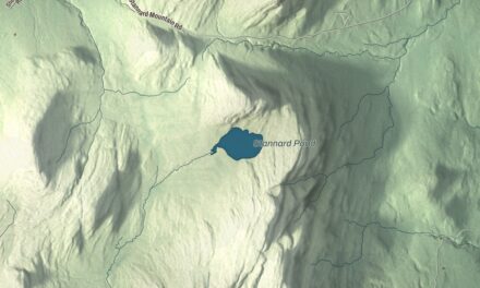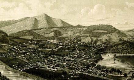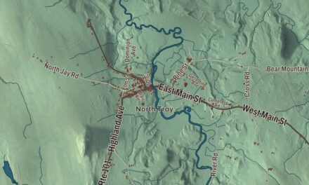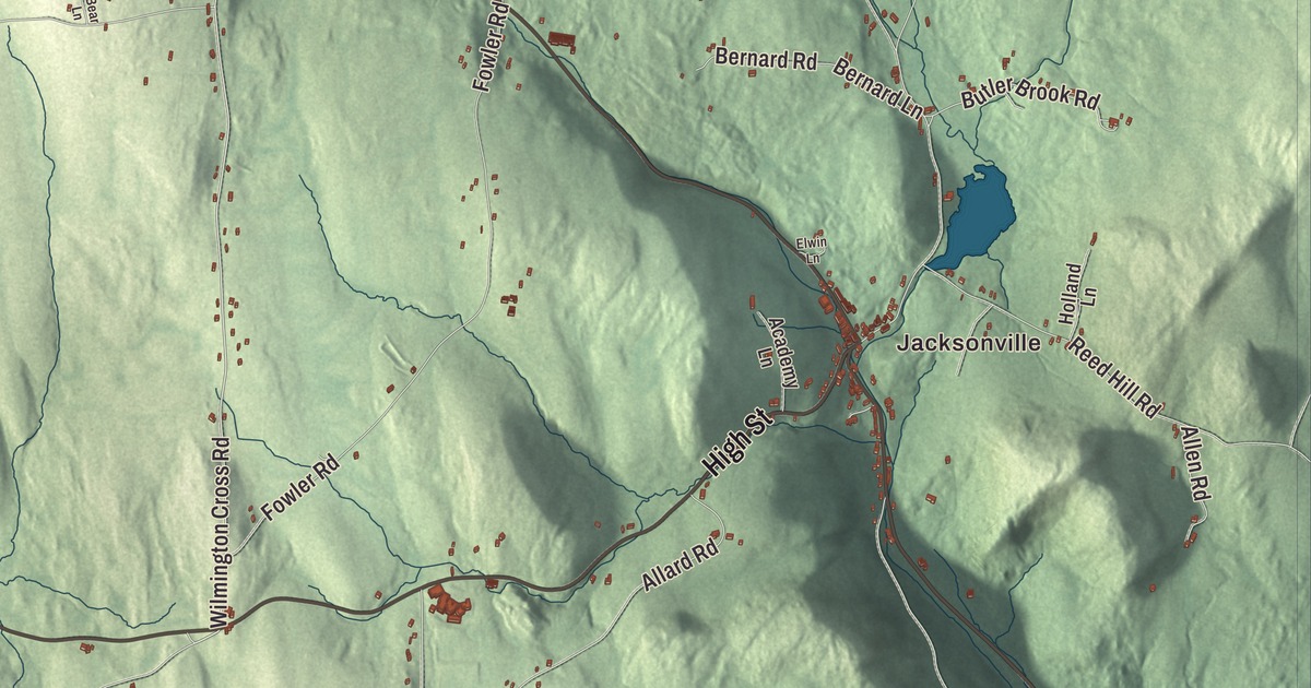
This aerial map of Whitingham, Vermont was created in 2026 using real geographic data to bring the town’s streets, buildings, ponds and waterways, and terrain together in one highly detailed view. Look closer and you can pick out the familiar places that make Whitingham feel like home. Start with the street you know, then see how it connects to the rest of the Whitingham you call home. Click here to purchase a print of this map for your wall.
Explore an aerial view of Whitingham, Vermont
Start with Jacksonville. Follow Stage Road, Ryder Pond Road, High Street, Burrington Hill Road, Harriman Sta Drive, and Kentfield Road across town.
Harriman Reservoir, Sadawga Lake, Sherman Reservoir, and Gates Pond are all labeled on the map. Every one of those names is printed directly on the artwork, giving you plenty to explore.
Whitingham dates to 1770. Whitingham is a town in Windham County. It remains a distinct town in Vermont today. Click the image below to see the area as it looked in 2026.
Take a closer look at the Whitingham map
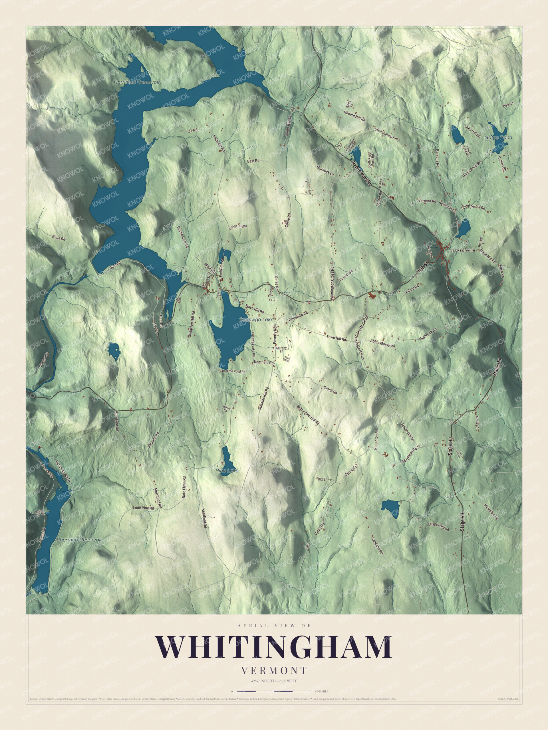
Click to explore a larger preview. The digital watermark does not appear on printed maps.
Names on this map
These names are printed on this map.
Places: Jacksonville, Harriman Reservoir, Sadawga Lake, Sherman Reservoir, Gates Pond and Pine Lake.
Streets and roads: Stage Road, Ryder Pond Road, High Street, Burrington Hill Road, Harriman Sta Drive, Kentfield Road, Streeter Hill Road, Goodnow Road, Wilmington Cross Road, Tunnel Street, Maple Hill Lane, Faulkner Road.
More street names, A to Z
Abbie Morse Road, Academy Lane, Allard Road, Allen Road, Bear Lane, Bernard Lane, Bernard Road, Birdville Road, Bone Lane, Bosley Hill Road, Boyd Lane, Brickhouse Road, Brook Street, Butler Brook Road, Chapel Hill Road, Chase Hill Road, Collins Road, Corse Road, Cyrus Road, Dalrymple Road, Dam Road, Deer Hill Road, Dix Lane, East Road, Elwin Lane, Five Fox Lane, Fowler Road, Fuller Hill Road, Gates Pond Road, Ginny Morse Road, Green Road, Head of the Pond Road, Hebard Hill Road, Holbrook Road, Holland Lane, Houghton Road, Howe Lane, Ick Road, Lake Hill Road, Laurel Lake Road, Lone Pine Road, Maple Drive, McMillan Road, Merrifield Road, Murdock Lane, Murphy Lane, Nate Flynn Road, North Ryder Pond Road, Parsons Road, Phelps Lane, Pike Lane, Pike Road, Plumb Road, Poverty Row, Pratt Lane, Reed Hill Road, Ridge Lane, Ruba Road, Sadawga Lake Road, Saddada Road, Shippee Road, South Ryder Pond Road, Stimpson Hill Road, Stonehouse Road, Town Hill Road, Tyanoga Road, Van Lane.
See it on a wall
The Whitingham map as a framed print. Swipe for more.


We designed the artwork at KNOWOL using Whitingham’s real streets, buildings, ponds and waterways, and terrain, the town boundary, and the way buildings spread across the town. Then we chose the color, relief, lettering, and layout that make the map look great on the wall.
This beautifully detailed map of Whitingham makes an attractive addition to your office, library, or den and can even be used to teach children the geography and history of the area. When you’re done exploring, click here to get your copy of the Whitingham, Vermont map.