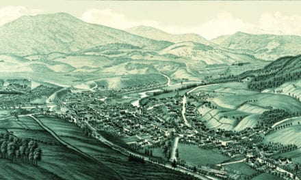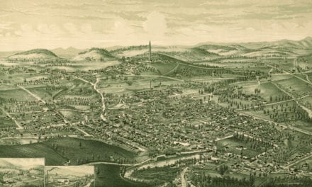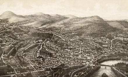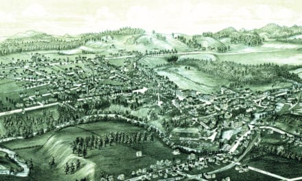
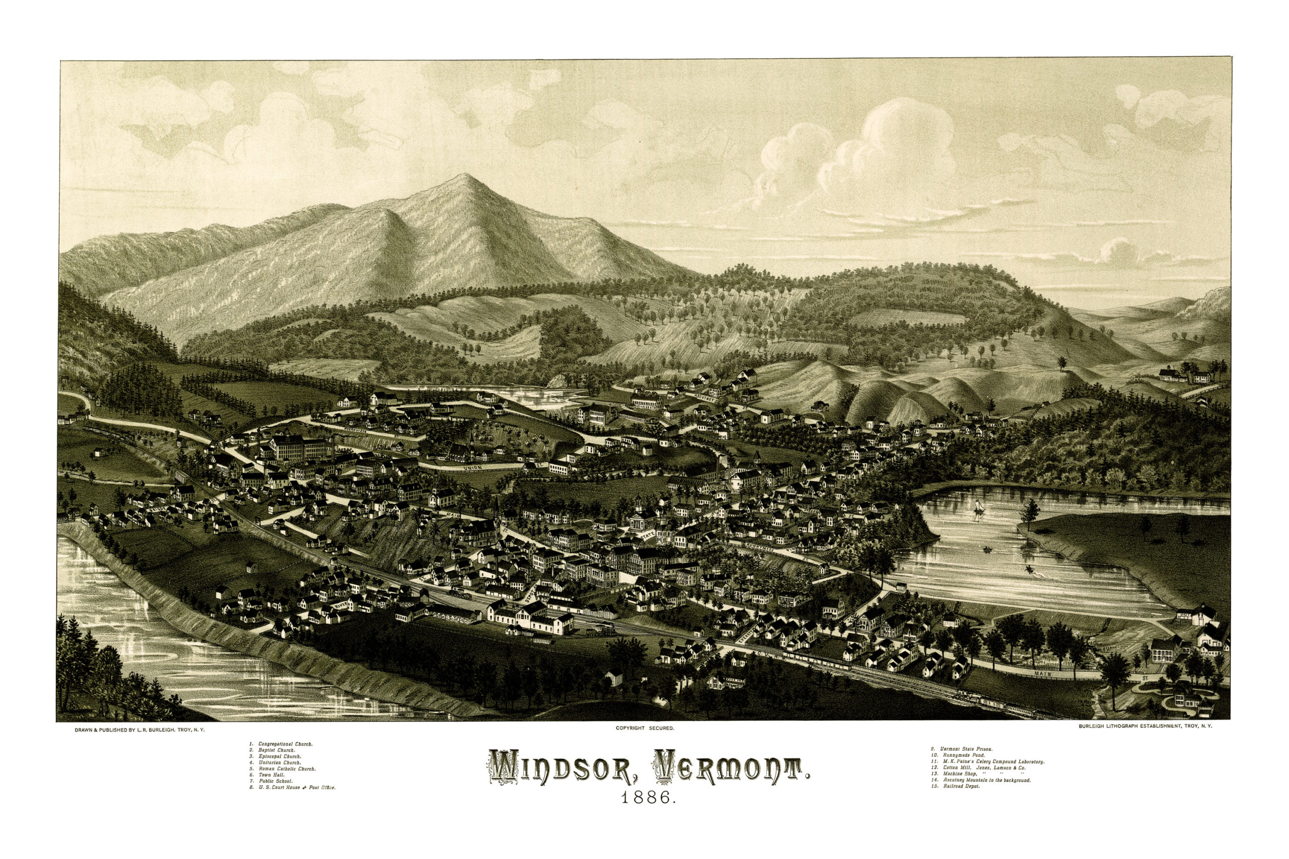
This historic map of Windsor, Vermont was created in 1886 by Lucien Burleigh, one of the most prolific map publishers of the 19th century. The map has been lovingly restored by the team at KNOWOL. Reproductions are available through our store. A high resolution version can be viewed below.
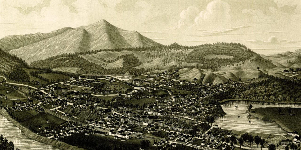
The map shows a bird’s eye view of Windsor, VT in 1886. Landmarks on the map include Windsor Town Hall, U.S. Court and Post Office, Vermont State Prison, Runnymede Pond, M.K. Paine’s Celery Compound Laboratory, and the Windsor Railroad Depot. Mount Ascutney is prominently featured in the background.
Historic Map of Windsor, Vermont in 1886
This vintage map will make an attractive addition to your home or office, and can even be used to teach children the geography and history of Windsor. Each reproduction is printed on museum quality, archival paper to ensure that this piece of Windsor history can be passed on to the next generation. Click here to get your copy of the map.