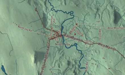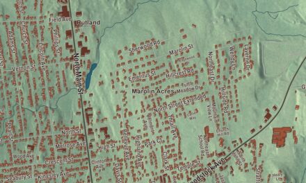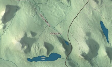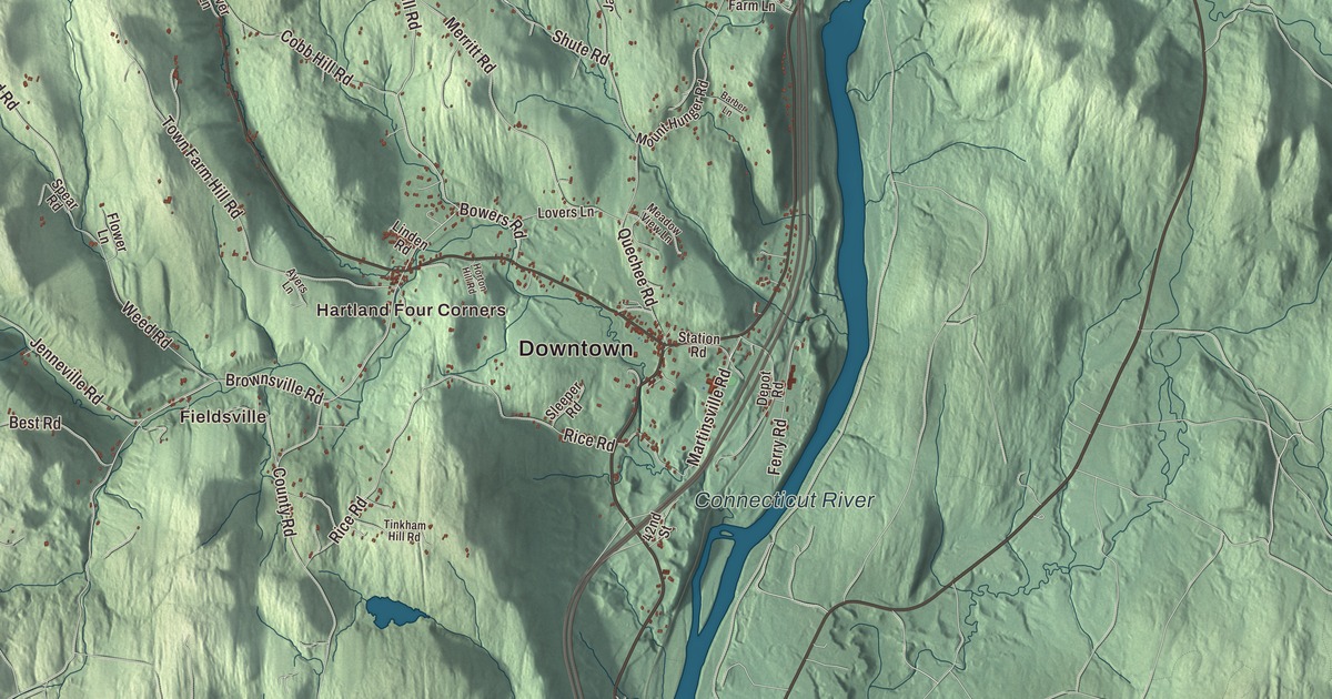
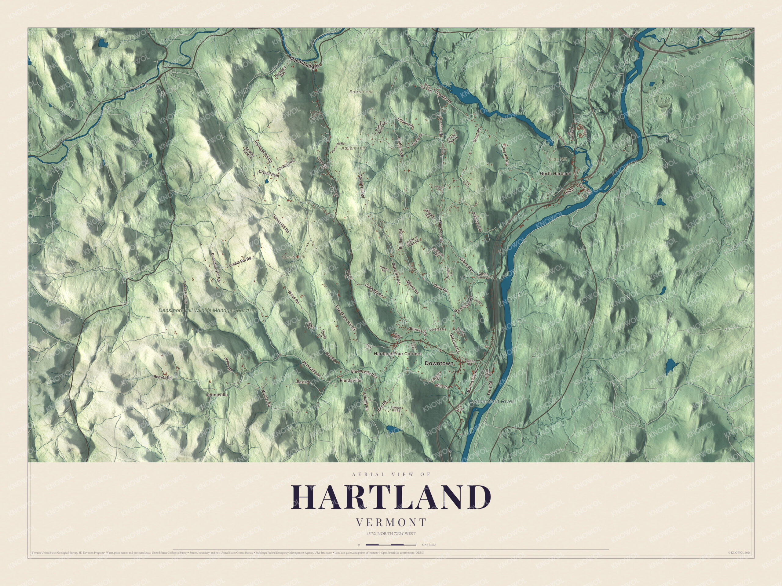
Hartland takes in three villages, Hartland, Hartland Four Corners and North Hartland, and runs west from the Connecticut River. This map labels Downtown and North Hartland, Jenneville, Fieldsville and Hartland Four Corners, with Advent Hill, Barron Hill, Breeze Hill, the Densmore Hill Wildlife Management Area and the Connecticut River. Its printed roads include Woodstock Road, Quechee Road, Gilson Road, Advent Hill Road, Mace Hill Road and Brownsville Road.
Hartland is a town in Windsor County, Vermont.
KNOWOL made this map in 2026 from public survey data and gave it the look of an old county atlas, shading the hills from United States Geological Survey elevation data and drawing the roads and town line from the Census Bureau. The Connecticut River forms Hartland’s eastern boundary, the Ottauquechee River crosses the north end of town, and 3,446 people lived here at the 2020 census. Click here to purchase a print of this map for your wall.
Hertford, then Hartland
New Hampshire granted the town on July 10, 1761, under the name Hertford. New York confirmed the charter in 1766, the town organized on March 11, 1767, and on June 15, 1782, the name became Hartland. Roger Enos, a veteran of the French and Indian War and the Revolution, settled on a farm in Hertford after leaving the Connecticut militia in 1780, and he represented the town in the legislature in 1782 and 1784.
Hartland had its woolen mills. The water-powered J. E. Ashworth and Sons blanket mill began as the Sturtevant woolen mills, with five looms and twelve men turning out 10,000 blankets a year, and the Ottaquechee Woolen Mills in North Hartland ran 1,680 spindles and sixty looms with 75 workers. In North Hartland the Willard Covered Bridge, built about 1870, still carries Mill Street over the Ottauquechee, and in the south of town the Martin’s Mill Covered Bridge, built about 1880 by James Tasker, crosses Lull’s Brook on Martinsville Road; they’re the town’s two surviving 19th-century covered bridges. On the Ottauquechee, the Army Corps of Engineers built the North Hartland Dam between 1958 and 1961 for flood control. It stands 182 feet high, and the lake behind it covers about 215 acres in normal times.
Click to explore a larger preview. The digital watermark does not appear on printed maps.
Names on this map
These names are printed on this map.
Places: Downtown, North Hartland, Jenneville, Fieldsville, Hartland Four Corners, Advent Hill, Barron Hill, Breeze Hill, Clay Hill, Connecticut River and Densmore Hill Wildlife Management Area.
Streets and roads: Woodstock Road, Gilson Road, Quechee Road, Advent Hill Road, Mace Hill Road, Brownsville Road, Martinsville Road, Clay Hill Road, Town Farm Hill Road, Brothers Road, Weed Road, Densmore Hill Road.
More street names, A to Z
42nd Street, Amsden Farm Lane, Ayers Lane, Barber Lane, Barron Hill Road, Beaver Lane, Best Road, Bowers Road, Center of Town Road, Cobb Hill Road, County Road, Cream Pot Road, Crystal Path, Damon Road, Depot Road, Draper Road, Ellison Road, Evarts Road, Ferry Road, Flower Lane, Folding Hills Road, Fork Brook Road, Forty Acre Road, Garvin Hill Road, Gilson Farm Lane, Grout Road, Hartland Hill Road, Hartwood Way, Horton Hill Road, Indepent Drive, Jamies Lane, Jenne Road, Jenneville Road, Linden Road, Lord Road, Lovers Lane, Maxfield Lane, Maxham Drive, Meadow View Lane, Merritt Road, Mill Street, Moeller Road, Mount Hunger Road, Ocean View Drive, Old Birch Road, Pelham North Road, Perkins Road, Reeves Road, Rice Road, Rutherford Road, Shepard Hill, Shute Road, Sleeper Road, Spear Road, Spillway, State Aid 4 Road, Station Road, Stimpson Hill, Tinkham Hill Road, Webster Road.
See it on a wall
The Hartland map as a framed print. Swipe for more.


Around the village green
Quechee Road, U.S. Route 5 and Vermont Route 12 come together at the small green in Hartland village. Damon Hall, the town hall, faces that intersection. Built in 1914 and 1915 as a memorial to the businessman William E. Damon and given to the town by his heirs, it stands on a site that had held a hotel since 1795, and it has hosted town meetings and plays. At the same junction, the brick David Sumner House of about 1807 shows the influence of the architect Asher Benjamin. Sumner ran sawmills, worked to make the Connecticut River easier to navigate and built bridges across it, and his house is now the Sumner Mansion Inn. Hartland Four Corners, on Route 12, has had a post office since July 5, 1854.
Hartland’s people include a Nobel laureate. Victor Ambros grew up on a small dairy farm in Hartland, one of eight children, and in 2024 he shared the Nobel Prize in Physiology or Medicine for discovering microRNA. Daniel Willard, born in Hartland in 1861, became president of the Baltimore and Ohio Railroad from 1910 to 1941. The painter George Tooker made his home in Hartland from 1960, and the journalist and press critic George Seldes made his home in Hartland Four Corners.
On the map, start at Hartland village and follow Quechee Road and Woodstock Road, then Gilson Road, Advent Hill Road, Mace Hill Road and Brownsville Road. Look for Jenneville, Fieldsville and Hartland Four Corners, and for Advent Hill, Barron Hill and Breeze Hill. Hartland dates to 1761.
This map of Hartland is made for everyone who calls Hartland home, and it shows the town as it looks today, from North Hartland to Hartland Four Corners. Hang it in an office, library or den, or use it to teach children the geography and history of their town. It’s printed on museum quality archival paper. Zoom in on the preview above to explore the details, then click here to get your copy of the Hartland, Vermont map.

Sources
- Hartland, Vermont, Wikipedia
- Town histories and representatives, H towns, Vermont Legislature
- Roger Enos, Wikipedia
- Willard Covered Bridge, Wikipedia
- Martin’s Mill Covered Bridge, Wikipedia
- North Hartland Dam, Wikipedia
- Damon Hall, Wikipedia
- David Sumner House, Wikipedia
- Hartland Four Corners, Vermont, Wikipedia
- Victor Ambros, Wikipedia
- Daniel Willard, Wikipedia
- George Tooker, Wikipedia
- George Seldes, Wikipedia