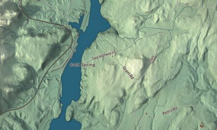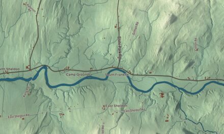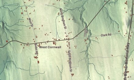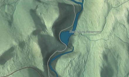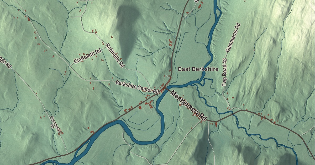
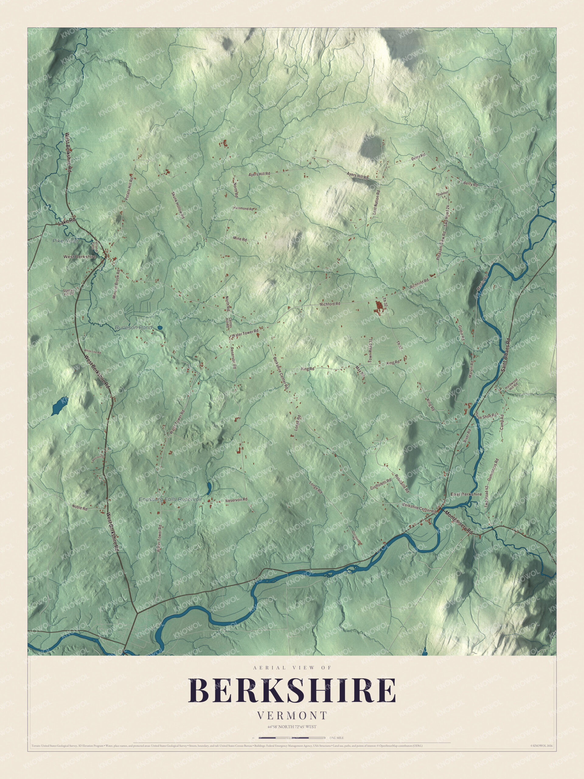
Berkshire’s northern line is the Canadian border, and the Pike River flows south out of Quebec into the town before turning back north. This map prints the Pike River, Enosburg Falls Reservoir and Burleson Pond, East Berkshire and West Berkshire, and West Berkshire Road, Saint Albans Road, Montgomery Road, Lake Road, Water Tower Road and Richford Road.
Berkshire is in northeastern Franklin County, on the border with Quebec.
KNOWOL made this map in 2026 from public survey data and gave it the look of an old atlas. The shaded terrain comes from United States Geological Survey elevation data and shows what the town calls fertile valleys and wooded uplands. The roads and the town line come from the Census Bureau. Berkshire covers 42.2 square miles, about 0.2 of them water, and it had 1,547 people at the 2020 census. Click here to purchase a print of this map for your wall.
A charter to pay for an army
Governor Thomas Chittenden chartered Berkshire on June 22, 1781, during the Revolution. It was one of six towns the legislature authorized as a way to raise money to supply Vermont’s troops, and the first man named in both the petition and the charter was William Goodrich of Stockbridge, in Berkshire County, Massachusetts, a militia captain whose company had marched to Lexington in 1775. Today the town describes itself by its dairy farms on the hillsides, its local artisans and small businesses, and its Town Forest, kept for hiking, wildlife watching and working woodland.
Stephen Royce grew up partly in Berkshire and began practicing law in East Berkshire after he finished at Middlebury College in 1807. He rose to chief justice of the Vermont Supreme Court and was elected governor in 1854 as a Whig, and the next year he was reelected as a Republican, the state’s first Republican governor. He died in Berkshire in 1868 and is buried in the East Berkshire Episcopal Cemetery. Horace Rublee, born in Berkshire in 1829, moved west as a boy and became a Wisconsin newspaper editor, the secretary of the 1854 meeting that formed Wisconsin’s Republican Party, and President Grant’s ambassador to Switzerland.
Click to explore a larger preview. The digital watermark does not appear on printed maps.
Names on this map
These names are printed on this map.
Places: East Berkshire, West Berkshire, Enosburg Falls Reservoir, Pike River and Burleson Pond.
Streets and roads: West Berkshire Road, Saint Albans Road, Montgomery Road, Lake Road, Water Tower Road, Richford Road, Town Road 31, Berkshire Center Road, Reservoir Road, King Road, Lost Nation Road, North Road.
More street names, A to Z
Ayers Hill Road, Babour Lane, Berry Road, Camp Road, Center Hill Road, Chocquette Road, Cioffoletti Road, Ferland Falls, Godin Road, Gummerus Road, Hammond Road, Hardwood Hill Road, Harrison Drive, Horse Shoe Road, Longe Road, Marvin Road, Max Road, Mineral Brook Road, Mine Road, Noble Road, Pleasant View Road, Potato Hill Road, River Road, Robitaille Road, Skunk Hollow Road, Stanley Hill Road, Th 32, Twp Road 24, Twp Road 42, White Line Road.
See it on a wall
The Berkshire map as a framed print. Swipe for more.


Two rivers and a border station
The Missisquoi River crosses the southeast corner of town on its way west to Lake Champlain, and East Berkshire sits on its banks where Vermont Routes 105 and 118 meet, five miles east-northeast of Enosburg Falls. The village had a post office until 2004 and still has its own ZIP code, 05447. The town’s website names the Missisquoi and the Trout River as the waters that shaped local industry. Abenaki people once used the Missisquoi as a canoe route, and its name is said to come from an Abenaki word meaning “where there is flint.”
In the west of town, the Pike River, called Rivière aux Brochets in Quebec, rises on Mount Pinacle, flows into Vermont, takes in the outflow of Lake Carmi and runs back north across the border toward Missisquoi Bay. Where Vermont Route 108 meets Quebec Route 237, the brick United States station of the West Berkshire to Frelighsburg border crossing went up in the mid-1930s, a Depression-era public works project, and the Pike River forms the western edge of its lot. It’s one of ten survivors of the thirteen border stations built in Vermont in that decade, and the only one that still has one of its original officers’ houses. The town office is on Water Tower Road. Burleson Pond, Enosburg Falls Reservoir, West Berkshire Road, Saint Albans Road, Montgomery Road, Lake Road and Richford Road are printed on the map too.
This map of Berkshire makes a good addition to an office, library or den, and it can even help teach children the geography and history of a border town in the Missisquoi valley. It’s made for everyone who calls Berkshire home and shows the town as it looks today, from West Berkshire to East Berkshire. KNOWOL created it in 2026, and it’s printed on museum quality archival paper. Zoom in on the preview above to explore the details, then click here to get your copy of the Berkshire, Vermont map.

Sources