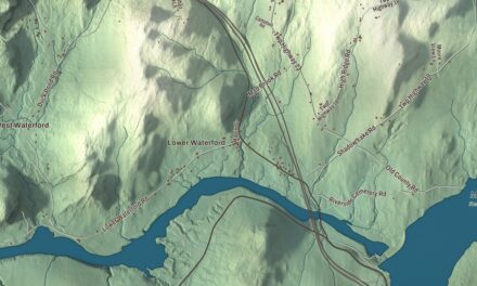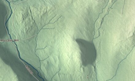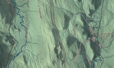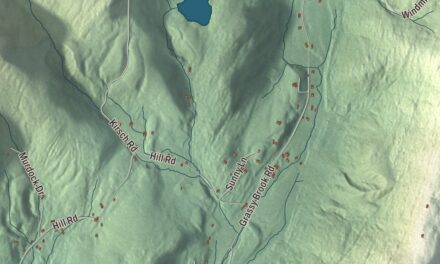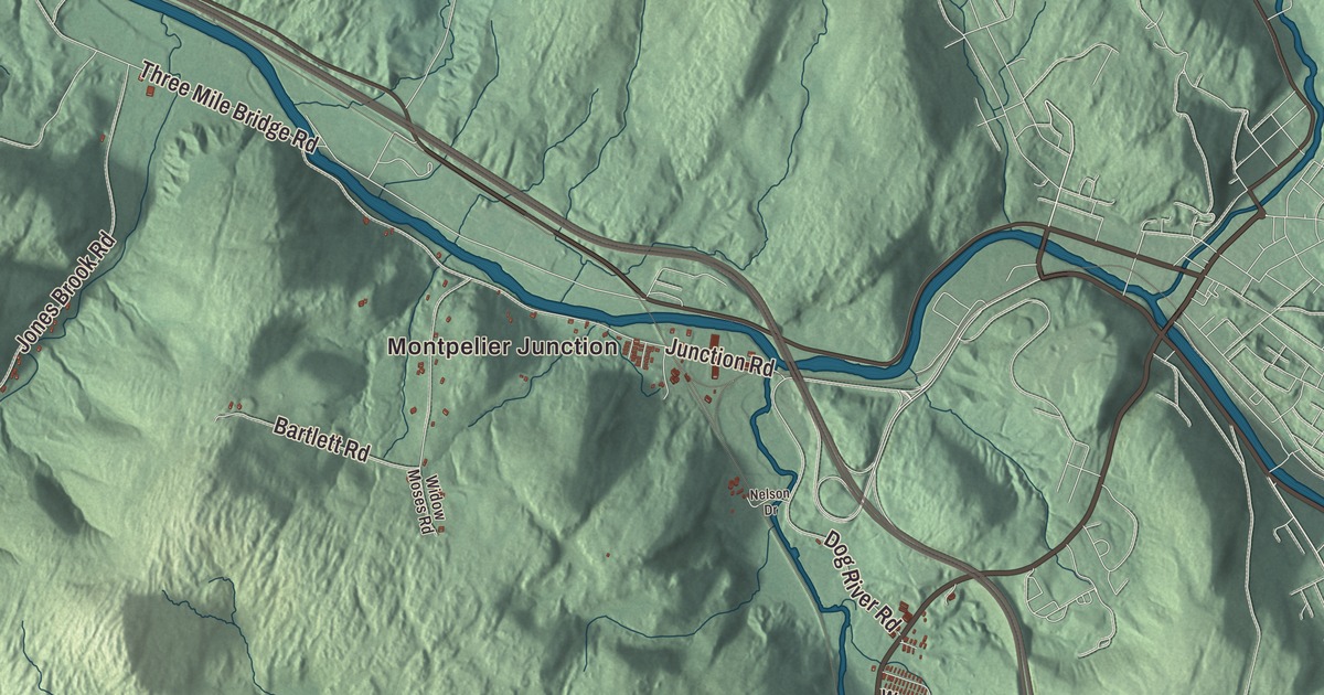
If you’ve driven the Barre-Montpelier Road, flown out of the state airport or caught the Vermonter at Montpelier Junction, you’ve been in Berlin. This map prints Montpelier Junction, West Berlin and Berlin Corners, Berlin Pond and the Dog River, and the Barre-Montpelier Road, Northfield Street, East Montpelier Road, Fisher Road, Crosstown Road and Airport Road.
Berlin is in Washington County, between the cities of Barre and Montpelier.
KNOWOL made this map in 2026 from public survey data and gave it the look of an old atlas. The shaded terrain comes from United States Geological Survey elevation data, from the highlands around Berlin Pond down to the Dog River. The roads and the town line come from the Census Bureau. Berlin covers 36.9 square miles, and it had 2,849 people at the 2020 census. Click here to purchase a print of this map for your wall.
One ear of corn an acre
Benning Wentworth, New Hampshire’s royal governor, chartered Berlin on June 8, 1763. The name refers to Berlin, Germany, and the town’s page says it was the only German town name in the new English colony. The 70 original rights went to priests, merchants and judges, and the charter asked each landholder to pay one ear of Indian corn for every acre, and after ten years a shilling for every 100 acres. It took 22 years for settlers to arrive, and the first two left after a year. Jacob Fowler, a hunter, was the first to stay and leave descendants. Thirteen families lived here by 1789, the first town meeting was held on March 31, 1791, and the first school opened on East Street in 1794. A Congregational meeting house went up at Berlin center in 1803, and after it burned in 1838 the church was rebuilt at Berlin Corner.
The 19th century Vermont Historical Gazetteer describes Berlin Pond, about two miles long on the highlands four or five miles from the capital, with the town’s village at its northern end, where its outlet had long turned a mill. Farther down, the stream dropped through a hidden set of falls named Benjamin’s Falls for the owner of the land, and the gazetteer says the first sawmill and first gristmill in the county stood at the foot of them.
Between the two cities
Because Berlin lies between Barre and Montpelier, the two largest cities in the region, much of the area’s business is here, along parts of the Barre-Montpelier Road, which is U.S. Route 302, and at the Berlin Mall. The Wayside Restaurant has stood beside Route 302 since Effie Ballou founded it in 1918, walking her pies and baked goods down the hill from her house to a simple roadside diner. Its building is in Berlin and its parking lot in Montpelier. The Food Network named its maple cream pie Vermont’s iconic pie. Berlin is also home to Central Vermont Medical Center, the primary health care provider for 66,000 people in central Vermont.
The town’s page counts Governor Phil Scott among its notable people, and Julius Yemans Dewey, a Montpelier doctor and businessman and the father of Admiral George Dewey, was born in Berlin in 1801. Ira Hobart Evans, a Medal of Honor recipient in the Civil War, is on the town’s list too.
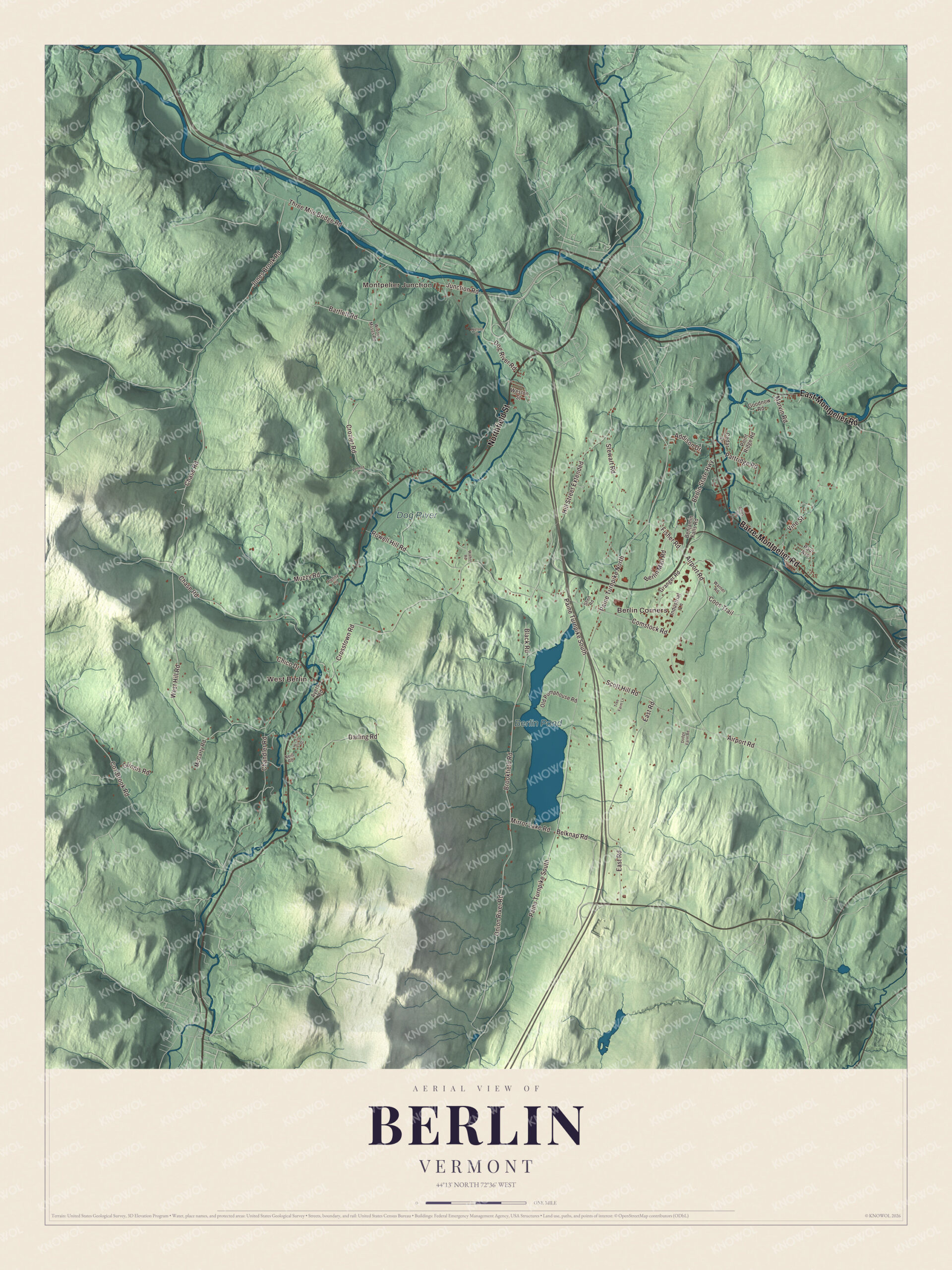
Click to explore a larger preview. The digital watermark does not appear on printed maps.
Names on this map
These names are printed on this map.
Places: Montpelier Junction, West Berlin, Berlin Corners, Berlin Pond and Dog River.
Streets and roads: Barre-Montpelier Road, Northfield Street, East Montpelier Road, Paine Turnpike North, Fisher Road, Crosstown Road, Airport Road, Paine Turnpike South, Brookfield Road, Chase Road, East Road, Hill Street Extended.
More street names, A to Z
Addison Drive, Ames Drive, Ayers Road, Bartlett Road, Belknap Road, Benjamin Falls Road, Berlin Mall Road, Berlin State Highway, Black Road, Cedar Drive, Chandler Road, Chico Drive, Comstock Road, Coos Trail, Cox Brook Road, Crozier Road, Darling Road, Dodge Farm Road, Dog River Road, Glinnis Road, Goodnow Road, Granger Road, Industrial Lane, Jones Brook Road, Junction Road, Lennox Road, Marvin Road, McCarty Road, Mirror Lake Road, Muzzy Road, Neill Road, Nelson Drive, Old Pumphouse Road, Onion River Road, Partridge Road, Paul Avenue, Penny Lane, Pine Hill Drive, Point Ridge Road, Rowell Hill Road, Scott Hill Road, Shed Road, Stewart Road, Three Mile Bridge Road, Tree Farm Lane, Vine Street, Walker Road, Warner Road, West Hill Road, Weston Street, Widow Moses Road.
See it on a wall
The Berlin map as a framed print. Swipe for more.


Trains, planes and a trout stream
Montpelier Junction has had a railroad station since the middle of the 19th century. The Vermont Central Railroad opened a junction station there in 1849 along with its branch line to the capital, and the present station, built in 1934 by the Central Vermont Railway, is served by Amtrak’s Vermonter and goes by Montpelier station or Montpelier to Berlin station. Edward F. Knapp State Airport opened in 1929 as the Barre-Montpelier Airport on land three miles west of Barre’s central business district. Airline service began in 1933, and Amelia Earhart, a partner in the company, landed there to promote air travel. The state took over the field in 1970 and named it for its Commissioner of Aeronautics.
The Dog River, a tributary of the Winooski, is an important trout stream, and its page says some consider it the best trout stream in Vermont for angling. West Berlin, Berlin Corners, Northfield Street, East Montpelier Road, Fisher Road, Crosstown Road and Airport Road are printed on the map as well.
This map of Berlin fits well in an office, library or den, and it can even help teach children the geography and history of the town at the center of Vermont’s capital region. It’s made for everyone who calls Berlin home and shows the town as it looks today, from Montpelier Junction to Berlin Pond. KNOWOL created it in 2026, and it’s printed on museum quality archival paper. Zoom in on the preview above to explore the details, then click here to get your copy of the Berlin, Vermont map.

Sources