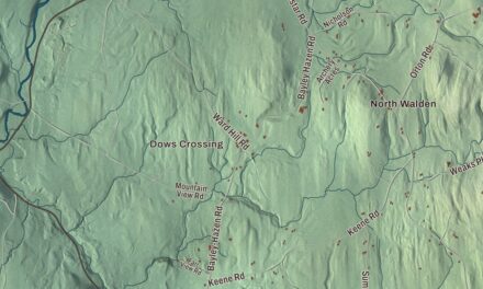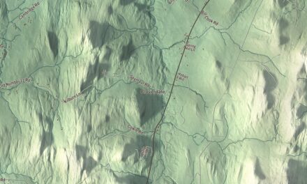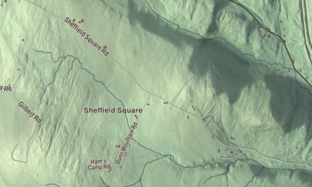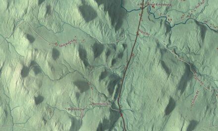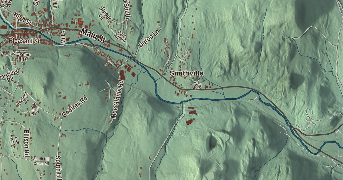
Before Ludlow became a ski destination, it was a mill town, and the old woolen mill still stands in the village. This map prints Main Street, Pond Street, Andover Street, Farm Ridge Road, Mountain Road and South Hill Road, with Smithville and Grahamsville, Lake Rescue and Reservoir Pond.
Ludlow is a town in Windsor County, Vermont.
KNOWOL made this map in 2026 from public survey data and gave it the look of an old county atlas, shading the hills from United States Geological Survey elevation data and drawing the roads and town line from the Census Bureau. Vermont Route 103 crosses the middle of town from east to west, and Route 100 runs north past Lake Rescue. Click here to purchase a print of this map for your wall.
The village and the mill
New Hampshire granted Ludlow on September 16, 1761, and the town took its name from Ludlow, Massachusetts, less than 100 miles away. It organized on March 31, 1792, and sent Peter Read to the legislature in 1795. Within the town lie the incorporated village of Ludlow, where the town started, and the small hamlets of Smithville and Grahamville. The map spells the second one Grahamsville.
The woolen mill in the village was first built in 1834. The business failed in the panic of 1837, sat empty for a time, and was running again by 1853. The original five-story building burned in 1865 and was rebuilt as the three-story brick mill that’s still there. In 1899 the Ludlow Woolen Company employed 130 people and produced 150,000 yards of wool cloth a year, and in 1952 General Electric bought the complex. The town’s page says Ludlow had a General Electric plant until 1977. Today the mill holds condominiums and shops, and it anchors the Ludlow Village Historic District along Main Street, which is Route 103, and Depot Street, along with the post office, the meeting hall, the fire house and several churches. Up Pleasant Street, the United Church of Ludlow was built in 1891 to a design by Edward T. Hapgood, and its page says it’s believed to be Vermont’s only full expression of the Shingle style in a church.
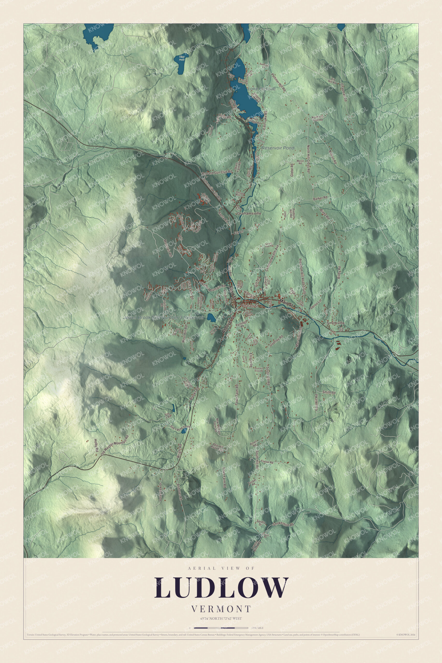
Click to explore a larger preview. The digital watermark does not appear on printed maps.
Names on this map
These names are printed on this map.
Places: Smithville, Grahamsville, Lake Rescue, Reservoir Pond, Jewell Brook Site Number 3 Reservoir and Tiny Pond.
Streets and roads: Main Street, Pond Street, Andover Street, Farm Ridge Road, Mountain Road, South Hill Road, Buttermilk Falls Road, Gulli Road, North Hill Cross Road, Pettiner Hill Road, East Hill Road, Okemo Ridge Road.
More street names, A to Z
Alpine Way, Andover Road, Barker Road, Bear Hill Road East, Benson Road, Bixby Road, Brooks Road, Cedar Lane, Chamonix Road, Chapman Road, Commonwealth Avenue, Cottage Mills Lane, Deerfield Road, Deroo Lane, Dix Hill Road, Dug Road, East Lake Road, Edelweiss Road, Ellison Road, Ellisons Lake Road, Fishing Access Road, Flatow Road, Ford Farm Lane, Fox Lane, Ghia Farm Road, Gill Terrace, Glebe Road, Godfrey Road, Grettos Gap, High Street, Holby Road, Ives Road, Jackson Gore Road, Lake Pauline Drive, Lannon Lane, Lovejoy Brook Road, Lovejoy Road, Lower Loop, Mac Ginnis Road, Maple Lane, Merrill Road, Mill Street, Mount View Drive, Nelson Road, New Offtown Farm Road, North Hill Pent Road, North Shore Drive, O'Connor Hill Road, Okemo Heights, Okemo Mountain Road, Okemo Trailside Extension, Old Village Lane, Old Weston Mountain Road, Orion Avenue, Palottas Hill Road, Partridge Road, Pine Hill Road, Pinell Road, Pleasant Street, Ponus Road, Predom Hill Road, Preedom Hill Road South, Ranta Road, Red Bridge Road, Rimrock Road, Rod and Gun Club Road, Rublee Road, Sandra Drive, Sears Farm Road, Site 1 Road, Site 1 Road Th-64, Skinner Heights, Smith Road, Smokerise, Smokeshire Road, Snow Lane, Solitude Drive, South Hill Cross Road, Stewart Lane, Summit View Road, Sunberry Lane, Thomson Drive, Town Farm Road, Trailside Road, Tucker Road, Upper Crossroad, Valley View Drive, West Hill Road, Witalec Road, Woods Road West, Wright Road.
See it on a wall
The Ludlow map as a framed print. Swipe for more.


Black River Academy
Black River Academy was chartered in Ludlow in 1835 and served as the town’s high school until 1938. Its first building burned, and the school met in a church for 44 years until its brick Richardsonian Romanesque building went up on High Street in 1888. Calvin Coolidge studied there, and so did Rotary founder Paul P. Harris, Governor William W. Stickney and John Garibaldi Sargent, who was born in Ludlow in 1860, practiced law here, and served as Attorney General under Coolidge, whom he had known since childhood. Since 1972 the building has housed the Black River Academy Museum, a museum of local history. Next door, the Ludlow Graded School, built in 1871 and 1872, stands on the academy’s first site.
Abby Maria Hemenway, born in Ludlow in 1828 and an academy student, set out to publish the history of every town in Vermont. Turned down by established printers, she published her first book, an anthology of Vermont poets, on her own in 1858, then began the Vermont Historical Gazetteer, asking local authors to write their towns’ histories and writing them herself where no one would. The volumes of her Vermont Historical Gazetteer are still used as the primary reference on 18th and 19th century Vermont, according to her page, and she’s buried at Pleasant View Cemetery in Ludlow. Belle L. Pettigrew and her brother Richard F. Pettigrew were born here too. Their father, Andrew, kept a store in town and was an abolitionist, a distributor of antislavery literature and a link in the Underground Railroad, and many people boycotted his store for it. Richard became the first U.S. Senator from South Dakota, and Belle a teacher and missionary. Edward Kirk Warren, born in Ludlow in 1847, invented featherbone, a substitute for whalebone made from turkey feathers.
Lake and mountain
Lake Rescue sits along Route 100 about three miles north of the village, and the town surrounds it. The lake is 180 acres and 95 feet deep, fed by the Black River, the third in a chain of four lakes running down from Plymouth. A dam built at its southern end in 1835 for water power made it larger, and by the early 1900s it was a summer resort. The Red Bridge crosses the horseshoe dam between Lake Rescue and Lake Pauline. Okemo was founded in 1955 by a group of local businessmen and opened on January 31, 1956, with two Poma lifts and four inches of snow.
On the map, follow Main Street through the village, then take Pond Street, Andover Street, Farm Ridge Road and Mountain Road. On South Hill Road, the Zachariah Spaulding Farm keeps a farmhouse built in 1798 by Spaulding, who served Ludlow in town offices and in the legislature, and the foundation of what was probably a sauna, left by the two Finnish families who owned it in the 20th century. Smithville and Grahamsville are printed, and so are Lake Rescue and Reservoir Pond. Ludlow dates to 1761.
This map of Ludlow is made for everyone who calls Ludlow home, and it shows the town as it looks today, from the village to Lake Rescue. Hang it in an office, library or den, or use it to teach children the geography and history of their town. It’s printed on museum quality archival paper. Zoom in on the preview above to explore the details, then click here to get your copy of the Ludlow, Vermont map.

Sources
- Ludlow (town), Vermont, Wikipedia
- Town histories and representatives, L towns, Vermont Legislature
- Ludlow (village), Vermont, Wikipedia
- Congregational Church of Ludlow, Wikipedia
- Black River Academy, Wikipedia
- Ludlow Graded School, Wikipedia
- John G. Sargent, Wikipedia
- Abby Maria Hemenway, Wikipedia
- Belle L. Pettigrew, Wikipedia
- Richard F. Pettigrew, Wikipedia
- Edward Kirk Warren, Wikipedia
- Lake Rescue (Vermont), Wikipedia
- Okemo Mountain, Wikipedia
- Zachariah Spaulding Farm, Wikipedia