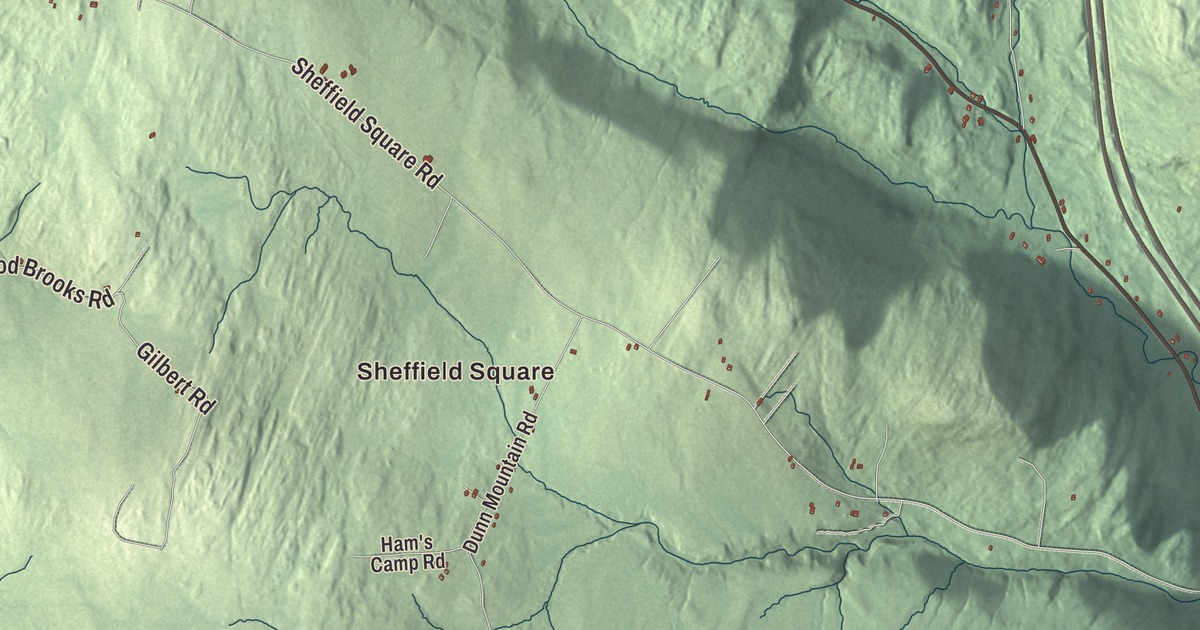
Sheffield lies in northwestern Caledonia County, where Route 122 climbs from the village toward Glover and Interstate 91 passes through without an exit. This map prints Sheffield Square with New Duck Pond Road, Mosher Road, Sheffield Square Road, Old Duck Pond Road, Berry Hill Road and Town Farm Road, and Long Pond and Bruce Pond.
Sheffield is a town in Caledonia County, Vermont.
KNOWOL made this map in 2026 from public survey data and gave it the look of an old county atlas, shading the hills from United States Geological Survey elevation data and drawing the roads and town line from the Census Bureau. The town covers 32.8 square miles, and 682 people lived here at the 2020 census. Click here to purchase a print of this map for your wall.
Up Route 122
Vermont granted Sheffield on November 7, 1780, and chartered it on October 25, 1793. The town organized on March 31, 1796, and Stephen Drown first represented it in the legislature in 1806, trading the seat for years with Joseph H. Ingalls. Barton lies to the north, Sutton to the east, Wheelock to the south and Glover to the west. Interstate 91 crosses the town on its way between St. Johnsbury and Newport, with no exit inside Sheffield.
The village of Sheffield lies in the southern part of town along Route 122, which roughly parallels the interstate. Coming up from Wheelock, the highway crosses Miller Run in the village, then Square Brook, Oregon Brook, Nation Brook and Trout Brook, and follows Trout Brook to its source at Sheffield Heights before it drops into Glover. The town’s highest point is an unnamed summit in the northeast corner, between Granby Mountain and Norris Mountain, 2,543 feet above sea level. A 40-megawatt wind farm of 16 turbines was built in town, and Sheffield was expected to receive $520,000 a year from it for 20 years, more than its whole municipal budget in 2011.
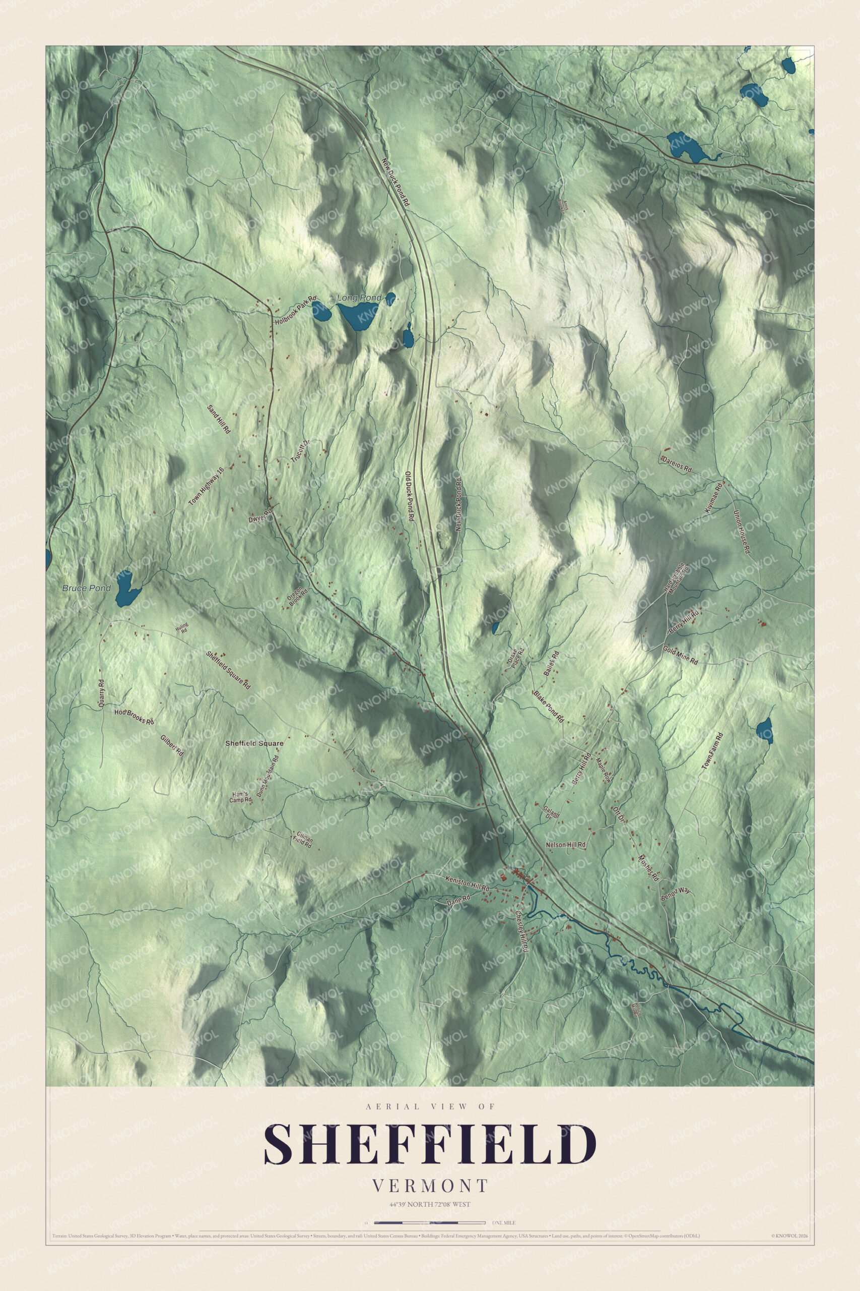
Click to explore a larger preview. The digital watermark does not appear on printed maps.
Names on this map
These names are printed on this map.
Places: Sheffield Square, Long Pond and Bruce Pond.
Streets and roads: New Duck Pond Road, Mosher Road, Sheffield Square Road, Old Duck Pond Road, Berry Hill Road, Town Farm Road, Blake Pond Road, Quarry Road, Town Highway 16, Gold Mine Road, Keniston Hill Road, Dane Road.
More street names, A to Z
Annis Brook Lane, Ballek Road, Benoit Way, Chesley Hill Road, Dareios Road, Drake Place Road, Dunn Mountain Road, Dwyer Road, Galand Drive, Gilbert Road, Gilman Field Road, Ham's Camp Road, Hardscrabble Mountain Road, Hod Brooks Road, Holbrook Park Road, Huling Road, Kivimae Road, Maple Row, Nelson Hill Road, Oregon Brook Road, Ott Drive, Sand Hill Road, Trucott Drive, Union House Road, Verticle Mile Road.
See it on a wall
The Sheffield map as a framed print. Swipe for more.


The poet Galway Kinnell, who won the Pulitzer Prize for Poetry for his Selected Poems and served as Vermont’s poet laureate from 1989 to 1993, died at his home in Sheffield in 2014, at 87. The composer and violinist Malcolm Goldstein, active in new music and dance since the early 1960s, makes his home in Sheffield and in Montreal.
On the map, start with Sheffield Square, then follow New Duck Pond Road, Mosher Road, Sheffield Square Road, Old Duck Pond Road, Berry Hill Road and Town Farm Road across town. Long Pond and Bruce Pond are printed too. Sheffield dates to 1793.
This map of Sheffield is made for everyone who calls Sheffield home, and it shows the town as it looks today, from Sheffield Square and Town Farm Road to Long Pond and Bruce Pond. Hang it in an office, library or den, or use it to teach children the geography and history of their town. It’s printed on museum quality archival paper. Zoom in on the preview above to explore the details, then click here to get your copy of the Sheffield, Vermont map.

Sources