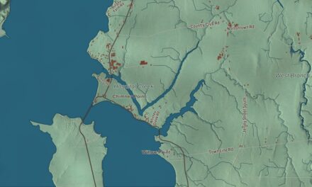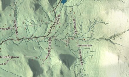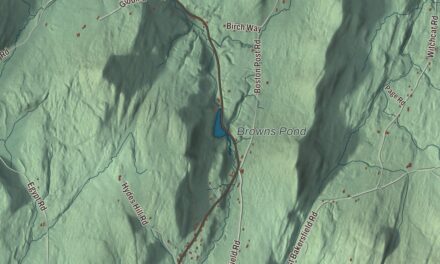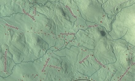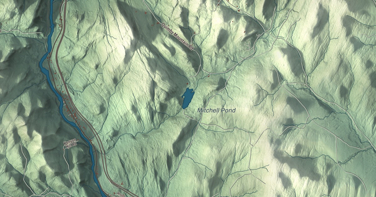
Sharon follows the White River through eastern Vermont, with Interstate 89 and Routes 14 and 132 running through town. This map prints Quation Brook Road, Downer State Forest Road, Turnpike Road, Cross Road, Fay Brook Road and Quimby Mountain Road, with Mitchell Pond, Crescent Lake, Standing Pond and C C C Pond.
Sharon is a town in Windsor County, Vermont.
KNOWOL made this map in 2026 from public survey data and gave it the look of an old county atlas, shading the hills from United States Geological Survey elevation data and drawing the roads and town line from the Census Bureau. The town covers 40.1 square miles, and 1,560 people lived here at the 2020 census. Click here to purchase a print of this map for your wall.
A town on the White River
Sharon was one of the New Hampshire grants. Its royal charter, issued through Governor Benning Wentworth on August 17, 1761, went to John Taylor and 61 others, many of them from Sharon, Connecticut. Robert Havens and his family settled here first, about 1765, and the town organized on March 8, 1768. Daniel Gilbert represented it in the legislature in 1778. In October 1780, during the Revolution, a British and Mohawk force burned Sharon in the Royalton Raid, along with Royalton and Tunbridge.
The town’s surface is broken, but the intervales along the river hold fertile soil, and farming became an important living. The White River and its tributaries turned the mills. On June 26, 1848, the Vermont Central Railroad opened from White River Junction to Bethel through Sharon and sped its growth. By 1859, when 1,240 people lived here, the town had 12 sawmills, a gristmill and a bobbin factory, and in the middle of the 20th century the lumber industry was still the main source of work. Many of Sharon’s most historic homes still line the White River.
Joseph Smith’s birthplace
Joseph Smith, founder of the Latter Day Saint movement, was born in Sharon on December 23, 1805. A granite obelisk now marks the spot, on a hill in the White River Valley near Sharon and South Royalton. Junius F. Wells, a church leader, visited the birthplace in 1884 and conceived the monument, and he oversaw its building in 1905. It was dedicated on the hundredth anniversary of Smith’s birth. The monument stands 50 feet tall, and its shaft, quarried in Barre, is 38.5 feet long, one foot for each year of Smith’s life. The Church of Jesus Christ of Latter-day Saints owns the site, with a visitors’ center and meetinghouse on the grounds.
Jason Downer was born in Sharon in 1813 and worked on his father’s farm until he was 19. He settled in Milwaukee as a lawyer and sat on the Wisconsin Supreme Court from 1864 to 1867. In the 1866 case of Gillespie v. Palmer, he wrote for the majority in favor of Ezekiel Gillespie, an African American Milwaukee resident who had sued for his right to vote. Milwaukee-Downer College was named for him.
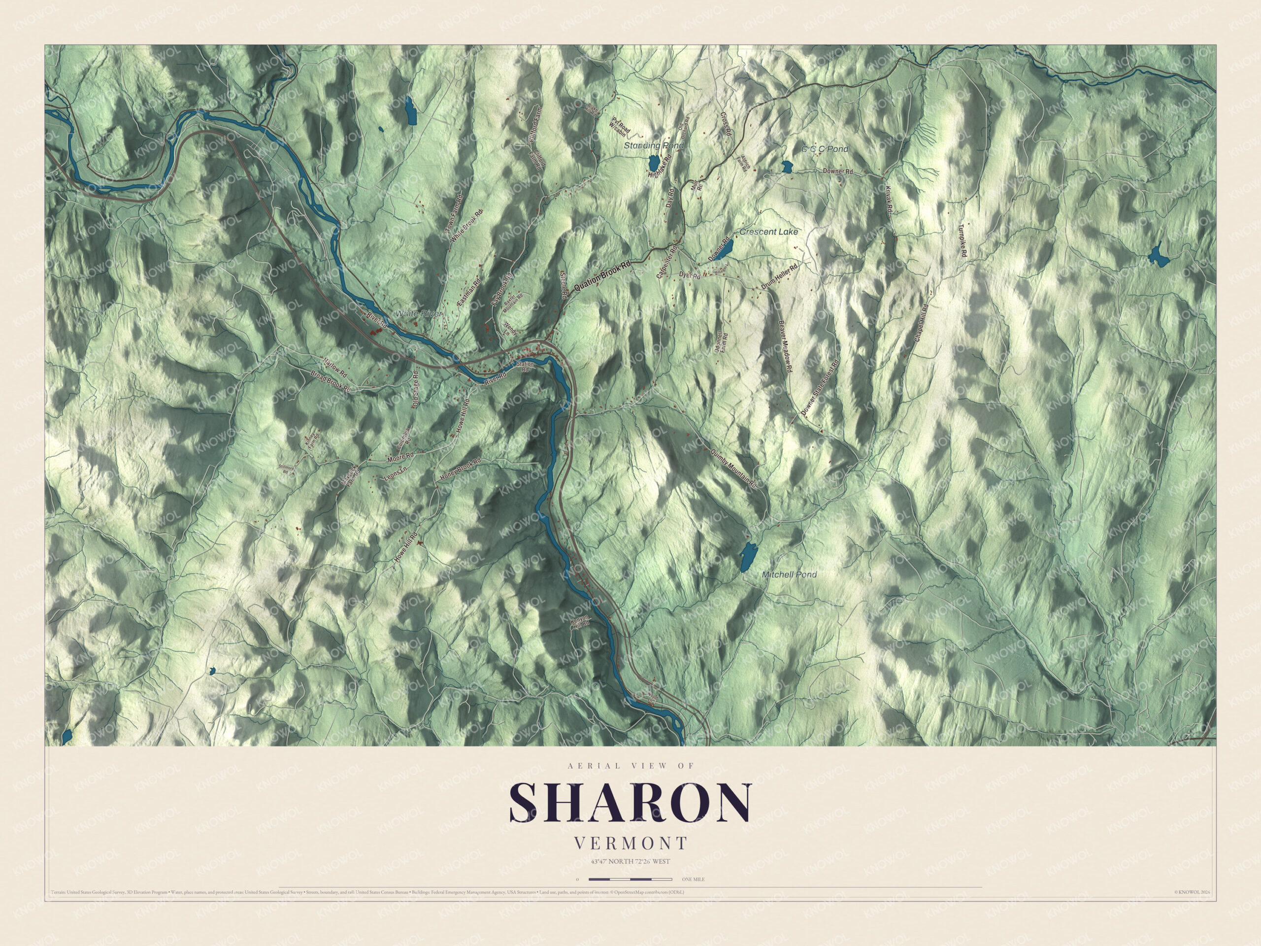
Click to explore a larger preview. The digital watermark does not appear on printed maps.
Names on this map
These names are printed on this map.
Places: Mitchell Pond, Crescent Lake, Standing Pond, C C C Pond and White River.
Streets and roads: Quation Brook Road, Downer State Forest Road, Turnpike Road, Cross Road, Fay Brook Road, Quimby Mountain Road, Beaver Meadow Road, Downer Road, Howe Hill Road, Moore Road, River Road, Carpenter Road.
More street names, A to Z
Aldrich Farm Road, Baxter Mountain Road, Blake Hill Road, Broad Brook Road, Chapel Hill Road, Clifford Farm, Clifford Farm Road, Columbia Road, Day Road, Drum Heller Road, Dyer Road, Eastman Road, Harlow Road, Highlake Road, Hillinger Lane, Honey Brook Road, Kenyon Hill Road, Kinney Farm Road, Krivak Road, Leons Lane, Maverick Farm Road, Muir Road, Odonnell Farm Road, Old Orchard Road, Old Stage Road, Station Road, Steele Road, Stillmore Road, Town Farm Road, Wendy Lane, White Brook Road, Wood Lane.
See it on a wall
The Sharon map as a framed print. Swipe for more.


Around the map
Bridge 15, known locally as the River Bridge, carries traffic over the White River west of the village center, linking Route 14 on the north bank to River Road and Station Road on the south. Built in 1928 after the floods of 1927 destroyed more than 1,200 bridges in Vermont, it has a Parker truss 220 feet long at its center and a total length of 324 feet, and bridges have stood on the site since 1869. It joined the National Register of Historic Places in 2008. Downer State Forest covers 705 acres of Sharon. Charles Downer gave the land in 1910 as a forestry demonstration area and planted its conifer plantations, and the Civilian Conservation Corps built the forest’s highway, Camp Downer and a fishing pond. Route 132 leaves Route 14 near the Interstate 89 interchange and winds northeast past a junction with Cross Road on its way into Strafford.
The Sharon Academy, an independent middle and high school, opened in September 1996 with 12 students in one classroom of an old schoolhouse. Those first students asked to continue there through high school, and the state approved grades 9 through 12. The middle school still meets in the Old Schoolhouse, and the high school moved to a new building on a hill overlooking the White River.
On the map, start with Quation Brook Road, then follow Downer State Forest Road, Turnpike Road, Cross Road, Fay Brook Road and Quimby Mountain Road across town. Mitchell Pond, Crescent Lake, Standing Pond and C C C Pond are printed too. Sharon dates to 1761.
This map of Sharon is made for everyone who calls Sharon home, and it shows the town as it looks today, from Quation Brook Road and Downer State Forest Road to Standing Pond and Crescent Lake. Hang it in an office, library or den, or use it to teach children the geography and history of their town. It’s printed on museum quality archival paper. Zoom in on the preview above to explore the details, then click here to get your copy of the Sharon, Vermont map.

Sources