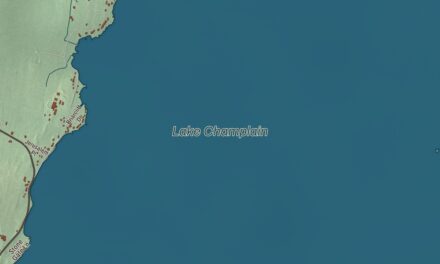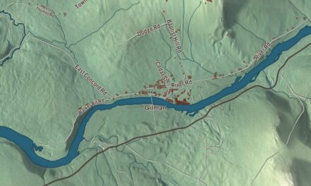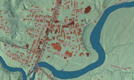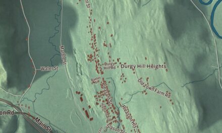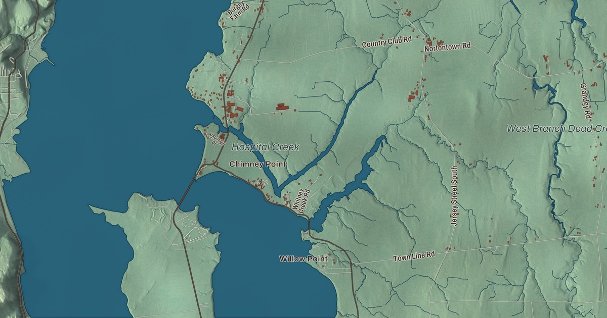
Out at Chimney Point, Lake Champlain narrows to about a third of a mile, and a bridge carries you over to New York. This Addison map prints Chimney Point and Willow Point on the lake, West Addison and Goodrich Corner inland, and West Branch Dead Creek and East Branch Dead Creek, with Mountain Road, Middle Road, Nortontown Road and Otter Creek Road crossing the town between them.
Addison is in Addison County, with Lake Champlain and New York along its western side.
KNOWOL made this map in 2026 from public survey data and gave it the look of an old atlas. The shaded terrain comes from United States Geological Survey elevation data, and the highest ground is Snake Mountain on the eastern line, 1281 feet above the lake. The roads and the town line come from the Census Bureau, from Lake Street to Town Line Road. Of the town’s 49.0 square miles, 7.2 are water, and Addison had 1,365 people at the 2020 census. Click here to purchase a print of this map for your wall.
The narrows at Chimney Point
Benning Wentworth chartered Addison on October 14, 1761, and named it for the English poet Joseph Addison. The town’s oldest story is older than that charter, though, and it’s told at Chimney Point, a peninsula bounded by the lake and Hospital Creek. Archeologists have found signs of people living there for as long as 7,500 years. The French settled the point in 1731, raising a stockade on the bluff they called Pointe-à-la-Chevelure, and by the start of the French and Indian War about 150 settlers lived on the two shores of the narrows. When the French withdrew north in 1759, they burned the houses on both sides of the lake, and a chimney left standing on the eastern shore gave the place its English name.
After the Revolution, Benjamin Paine built a tavern on the point in the mid-1780s and started a ferry across the lake. Thomas Jefferson, then Secretary of State, and Congressman James Madison spent the night of May 31, 1791 there on a tour of New York and New England, with two enslaved men, James Hemings and a man named Matthew, traveling with them. The Barnes family later enclosed the tavern in brick and, in the 1890s, ran it as a summer resort called the St. Frederic Inn. The state bought the property in 1966, it was listed on the National Register of Historic Places in 1971, and the restored tavern reopened as a museum in 1991. Today it’s the Chimney Point State Historic Site, telling the story of three cultures: Native American, French colonial and early American.
The first Lake Champlain Bridge, from Chimney Point to Crown Point, was dedicated on August 29, 1929, with 40,000 people on hand, as Governor John E. Weeks of Vermont and Governor Franklin D. Roosevelt of New York met at its center. It served for 80 years. Inspectors found serious deterioration in its piers in 2009, and it was closed and taken down; the new bridge, whose central arch recalls the lines of the old one, opened on November 8, 2011, with sidewalks and bicycle lanes. You can walk across it from one historic site to the other.
General Strong and a composer
John Strong of Salisbury, Connecticut, came to Addison in 1766 as one of the town’s first white settlers. He served in the militia through the Revolution, was taken prisoner by the British, and later represented Addison in the Vermont House, serving as its Speaker in 1786; in 1791 he sat in the convention that ratified the Constitution and brought Vermont into the Union. In the 1790s he built a new home to replace the one the British destroyed during Burgoyne’s advance, and the General John Strong Mansion is now a museum run by the Vermont chapter of the Daughters of the American Revolution. He’s buried in the Lake View Cemetery in West Addison. The composer Silas G. Pratt, who often published his music as V. B. Aubert, was born in Addison in 1846, and as a young man in Chicago he gave public piano recitals.
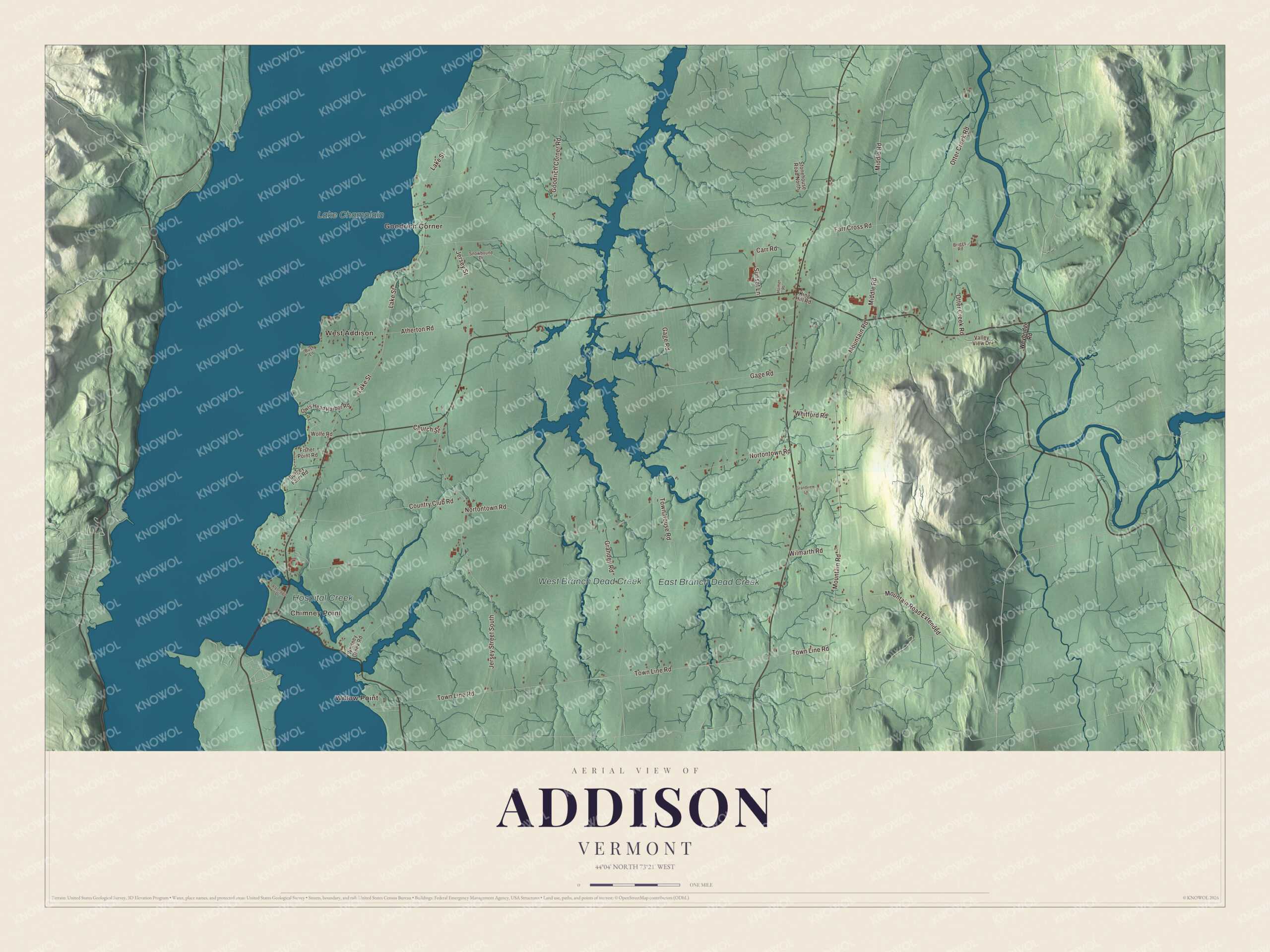
Click to explore a larger preview. The digital watermark does not appear on printed maps.
Names on this map
These names are printed on this map.
Places: Willow Point, Chimney Point, West Addison, Goodrich Corner, West Branch Dead Creek, Hospital Creek, East Branch Dead Creek and Lake Champlain.
Streets and roads: Mountain Road, Middle Road, Town Line Road, Nortontown Road, Lake Street, Jersey Street South, Otter Creek Road, Goodrich Corner Road, Gage Road, Country Club Road, Grandey Road, Farr Cross Road.
More street names, A to Z
Algonquin Drive, Atherton Road, Briggs Road, Burgey Farm Road, Bush Lane, Carr Road, Church Street, Fisher Point Road, Grandview Lane, Home Place, Jersey Street, King Hill Road, Mountain Road Extended, Owls Head Harbor Road, Snowbound Drive, Stonehouse Road North, Sunset Lane, Town House Road, Valley View Drive, Weybridge Road, Whitford Road, Whitney Creek Road, Wilmarth Road, Wolfe Road.
See it on a wall
The Addison map as a framed print. Swipe for more.


Across the Dead Creek country
The Dead Creek runs north through the middle of town, and most of it lies in the Dead Creek Wildlife Management Area, with a viewing area on Route 17. West Branch Dead Creek and East Branch Dead Creek are printed on the map, along with Hospital Creek near the lake. On the town’s eastern edge, Otter Creek forms the boundary with Waltham. Addison Four Corners, where Route 22A meets Route 17, holds the town hall, the fire department, the general store and the Addison Baptist Church, and West Addison sits near Route 17 on the other side of town.
Snake Mountain straddles the Addison and Weybridge line. Its main trailhead is in Addison, where Wilmarth Road meets Mountain Road, and the trail follows an old carriage road to the summit, with a wide view of Lake Champlain and the Adirondacks. Jonas N. Smith built that road around 1870 for his Grand View Hotel, which opened on the summit in 1874 and closed in 1925, and he renamed the peak Grand View Mountain, thinking the word “snake” might keep guests away. The state bought the summit land in 1988. Willow Point, Goodrich Corner, Middle Road and Nortontown Road are printed on the map too.
This Addison map makes a handsome addition to an office, library or den, and it can even help teach children the geography and history of a town whose lakeshore tells the story of three cultures. It’s made for everyone who calls Addison home, from Chimney Point to Snake Mountain. KNOWOL created it in 2026, and it’s printed on museum quality archival paper. Zoom in on the preview above to explore the details, then click here to get your copy of the Addison, Vermont map.

Sources